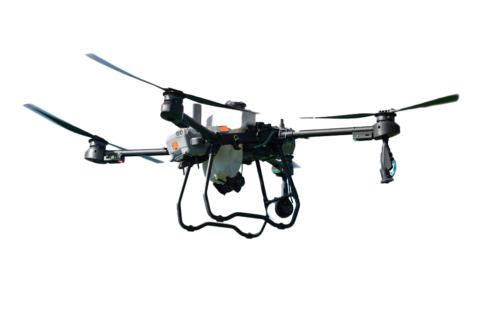
Rekon Solutions – LiDAR Drones
Rekon Solutions – LiDAR Drones
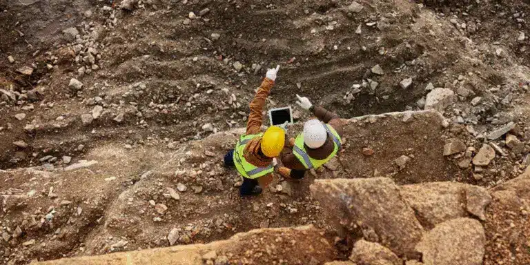
We help geologists, surveyors, and project managers map exploration zones with high-density terrain data—even in hard-to-reach or overgrown sites. Our topographic surveys are fast, detailed, and built for rugged conditions.
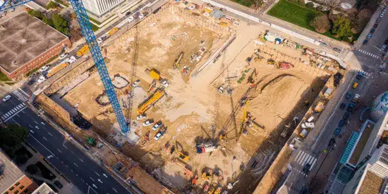
Whether you're building residential communities or large-scale infrastructure, we provide high-accuracy terrain models, contours, and change detection to support smarter design and faster approvals.
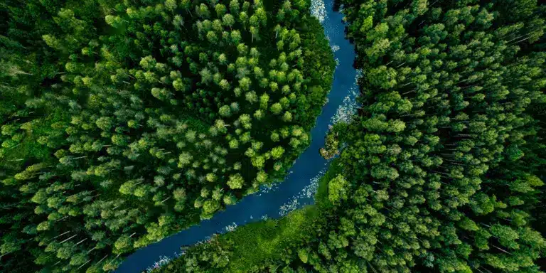
We support provincial and federal agencies with LiDAR in BC and Alberta, including roads, rivers, and remote territories. When timelines are tight and safety is critical, we get in and get it done.
“Rekon was super helpful. We had an emergency situation that needed their support. They were able to get to site on very short notice. The deliverables they provided and support through the whole process was remarkable. Looking forward to future project with this group.”
Darcy Palombi
D.K. Bowins and Associates Inc.
“Very cooperative guys who got on the job very quickly. LiDAR results from the survey on my 5 acres were nothing short of amazing! Price was very competitive, based on my 30+ years in the civil engineering world. Should I need this sort of work done in the future, I will be a return customer.”
Brock Nanson
Private Property Owner
“These guys are top of their game. Surface mapping provided from Rekon has been game changing for our business. Can’t recommend them enough. Great service, reasonable pricing and we are provided with a quality professional product every time we use them.”
Jason BOEHR
Amize Canada
