Heat loss is one of the most expensive and least visible building performance issues.
If you want to find where your building is losing heat, you may not see the problem with your eyes.
That is why aerial thermal imaging heat loss surveys are popular. They let you scan a roof or exterior walls fast and spot unusual hot or cold areas.
In this blog, you will learn what this method can do, how accurate it is, and what you should check before you trust the results.
In this blog, you will learn how accurate this method is, what affects the results, and what you should do so you can trust the findings.
You will also see when you should follow up with other tests, because thermal images are powerful but not perfect.
What is aerial thermal imaging and how does it work?
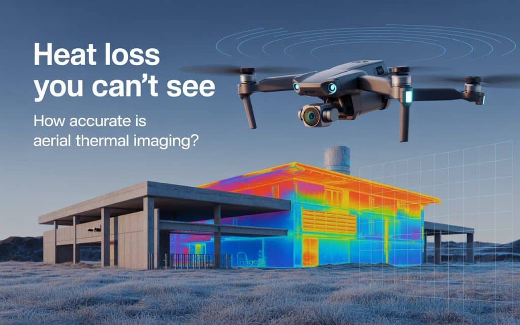
A drone can carry an infrared (IR) camera. This camera detects heat coming from surfaces and turns it into a thermal image, also called a thermogram. The image uses colors or shades to show warmer and cooler areas.
This is a form of thermal imaging for heat loss detection. It does not “see through” walls. Instead, it shows surface temperature patterns. Because heat moves through materials, surface patterns can hint at problems behind the surface, such as:
- Missing or damaged insulation
- Air leaks around joints, edges, or penetrations
- Wet insulation that changes heat flow
- Thermal bridging (heat moving through metal or concrete paths)
When you use a drone, you can scan big areas faster than walking the full roof with a handheld camera. Therefore, you save time and you reduce the need for risky work at height.
What does “accuracy” mean in heat loss thermal imaging?
When people ask about accuracy, they often mix two ideas. It helps if you separate them.
Temperature accuracy vs. decision accuracy
First, there is temperature measurement accuracy. This is about how close the camera’s temperature reading is to the true surface temperature. This topic is part of the accuracy of thermal imaging heat detection. Many things can affect the number, such as camera settings and surface type.
Second, there is decision accuracy. This is about whether the thermal pattern leads you to the right conclusion.
For example, you might see a warm strip on a roof and conclude “there is missing insulation.” However, that warm strip could also come from sunlight or a material change.
Therefore, a good report should explain why the area is a likely heat loss point, and it should recommend the next step to confirm it.
So, heat loss thermal imaging is usually very strong at finding “where you should look.” But it is less reliable if you want to calculate the exact heat loss rate without other data.
How accurate is aerial thermal imaging heat loss detection in real buildings?
In real projects, aerial thermal imaging heat loss results can be very useful, but accuracy depends heavily on conditions. If you control the timing, weather, and flight plan, you can get clear and repeatable patterns. Consequently, your decisions become better and faster.
However, if you scan on a windy day, right after rain, or in strong sunlight, the images can be confusing. Because of that, the “accuracy” can drop, even if the camera itself is high quality.
A practical way to think about it is this:
- Drone thermography is excellent for screening large roof areas and spotting unusual hot/cold zones.
- It is good for prioritizing where you should do repairs or further tests.
- It is not a standalone proof of energy performance. Therefore, you should confirm high-cost decisions with follow-up inspection.
Factors that affect your results (and what you can do)
1. Temperature difference between inside and outside
Thermal patterns are easier to see when there is a strong temperature difference. If the building is heated and the outdoor air is cold, heat loss spots often show up clearly on the outer surface.
However, if indoor and outdoor temperatures are close, the contrast is weak. Then the camera may not show enough difference to interpret confidently. Therefore, you should aim for conditions that create good contrast.
2. Wind, rain, and wet surfaces
Wind can cool surfaces quickly. Because wind increases heat transfer at the surface, it can hide real heat loss patterns. Rain and wet roofs can also change the surface temperature and how the surface “looks” in infrared.
So, if you want better results, you should avoid scanning during rain and preferably avoid scanning soon after rain. Also, you should document wind speed and general weather in your report. That simple step makes your findings more defensible.
3. Roof materials and reflections
Some materials are easy to read. Others are tricky. For example, shiny metal can reflect the cold sky and look “strangely cold,” even when it is not losing heat.
That is why heat loss infrared thermal imaging should always include normal photos. When you compare the thermal image with the visual photo, you can tell whether a hot spot is a real defect or just a material change, patch, or reflective surface.
4. Sunlight and time of day
Sunlight is one of the biggest causes of confusion. A roof heated by the sun can stay warm, even after the sun goes away. Then you might think you found a heat loss area, but it could be leftover solar heating.
Because of this, many teams plan scans when solar effects are low and temperatures are stable. Therefore, timing should be part of your plan, not an afterthought.
5. Flight height and image detail
The drone flight height affects resolution. If the drone is too high, each pixel covers a larger area. Consequently, small gaps in insulation may disappear. If the drone is too low, you may miss coverage or have safety issues near obstacles.
A planned flight path gives you consistent coverage and consistent viewing angles. That makes comparisons easier across the roof.
Where drone thermal imaging fits in a building envelope check
Many building problems happen at the “envelope,” which includes the roof, walls, joints, and openings. A drone scan is often used as part of an aerial thermal imaging building envelope review. This is helpful because you can see patterns that are hard to notice from the ground.
For example, you can often spot:
- Perimeter heat loss near roof edges
- Heat around skylights and roof penetrations
- Patterns that match insulation layout problems
- Moisture-suspect areas that need closer checking
However, you should remember that a thermal image alone does not prove moisture, missing insulation, or air leakage. Therefore, the report should label findings as “probable” and give next steps.
Common deliverables: roof scans and inspection reports
On many projects you will see a “roof scan” product. This is often described as a heat loss roof infrared scan. It usually includes thermal images of the roof, marked anomaly areas, and notes about what each anomaly may mean.
For a more formal job, you may request a thermal imaging heat loss inspection report. A good report usually includes:
- Date, time, and weather conditions
- Indoor/outdoor temperatures (if available)
- Camera type and settings (at least basic ones)
- Thermograms plus matching visible photos
- A simple map showing anomaly locations
- A priority rating (high/medium/low)
- Clear next steps for confirmation
This helps you move from “interesting images” to “actionable maintenance decisions.”
How drone thermal imaging compares to other methods
Drone scans are fast. However, other methods can confirm details.
If the drone scan suggests a major insulation failure, you may follow up with:
- Close-range handheld infrared imaging
- Targeted roof core cuts (when appropriate)
- Blower door testing (for air leakage)
- Smoke tracing or other air-path checks
This is where infrared thermography accuracy heat loss becomes real in practice. Your accuracy improves when you combine tools. Therefore, you should treat the drone scan as step one, and confirmation testing as step two for critical findings.
How to use the results to make better decisions
Here is a simple workflow that many teams use:
- Do a drone scan and flag anomalies. This is your heat loss detection drone thermal imaging step.
- Group anomalies by type (edges, penetrations, wet areas, odd material zones).
- Pick the highest-risk areas and confirm them with closer inspection.
- Plan repairs based on confirmed findings.
- Re-scan after repairs if you want proof of improvement.
This approach works because it saves money. You do not open up the roof everywhere. Instead, you open it only where the thermal evidence suggests a real issue.
So, how accurate is it overall?
If you follow best practices, aerial thermal imaging heat loss detection can be very accurate at locating suspect areas. It is especially useful on large roofs where walking every square meter is slow and risky.
However, it is not perfect, because thermal images can be influenced by wind, moisture, sunlight, and surface properties. Therefore, you should not treat every hot or cold spot as “proof” of heat loss. You should treat it as a strong clue.
If you want the best outcome, use thermal imaging to guide your next step. That step might be a closer scan, a targeted test, or a focused repair plan. This is how you get real value from building heat loss thermal imaging, especially when budgets are tight and you need to prioritize the biggest problems first.
To learn more about Aerial Inspection, visit our previous blog on Aerial Inspection for Infrastructure projects.
Conclusion and next steps
You can use aerial thermal imaging heat loss surveys to spot heat loss patterns quickly across roofs and building exteriors. They help you reduce guesswork. Consequently, you can plan repairs more efficiently and avoid spending money in the wrong place.
To get reliable results, you should choose the right weather, reduce sunlight effects, document conditions, and include normal photos with thermograms. Then, for high-impact findings, you should confirm them with targeted tests. That is the best balance between speed and confidence.
If you are looking to get an aerial thermal imaging heat loss survey done, contact us to book your appointment.
