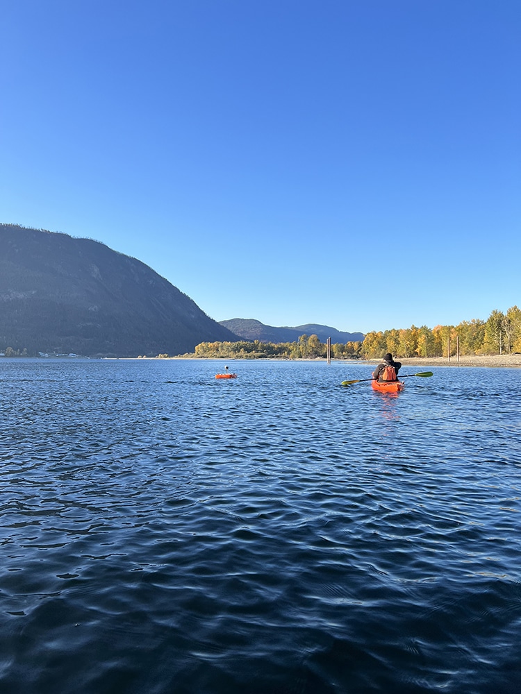
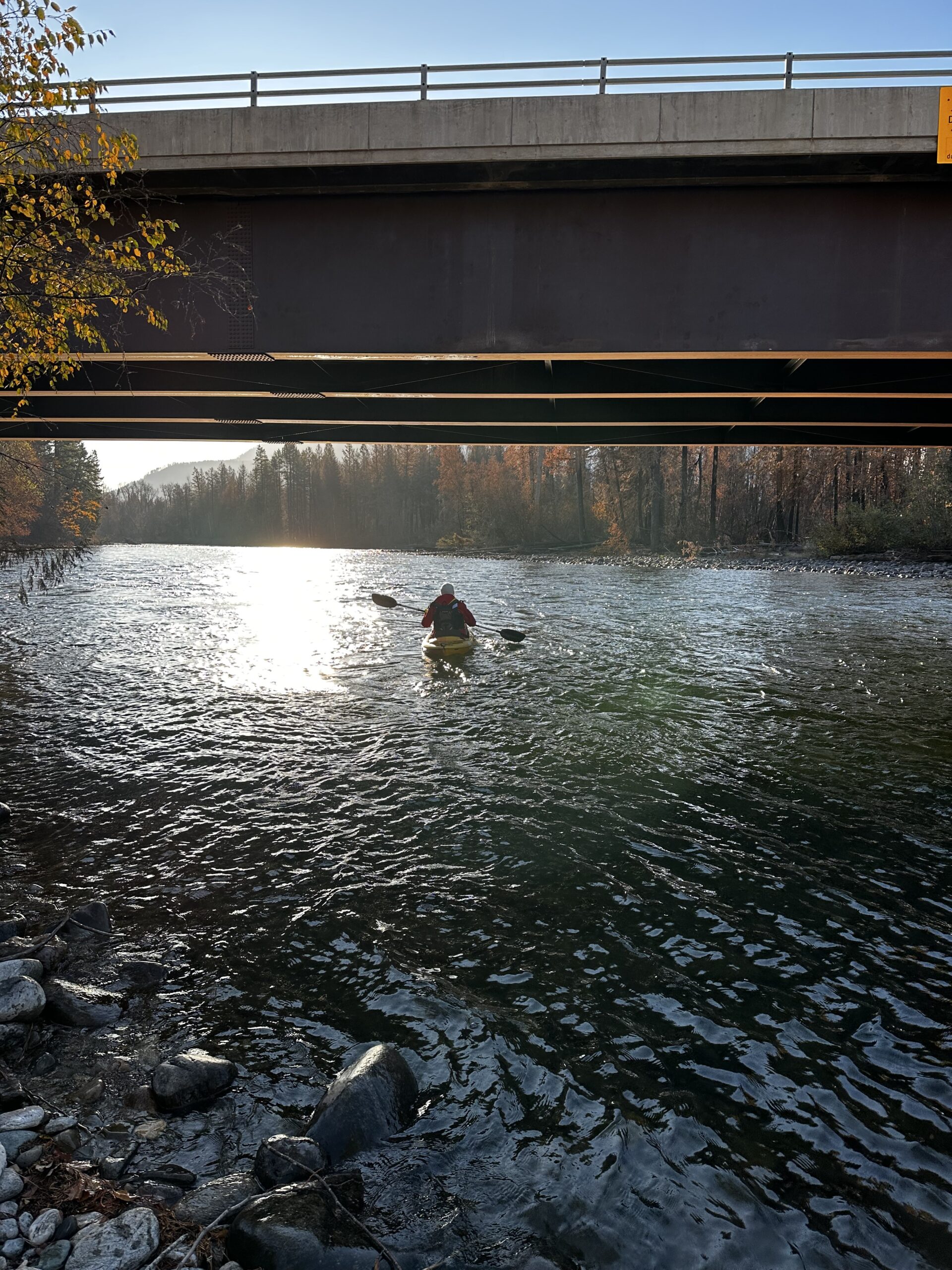
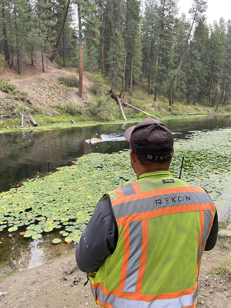
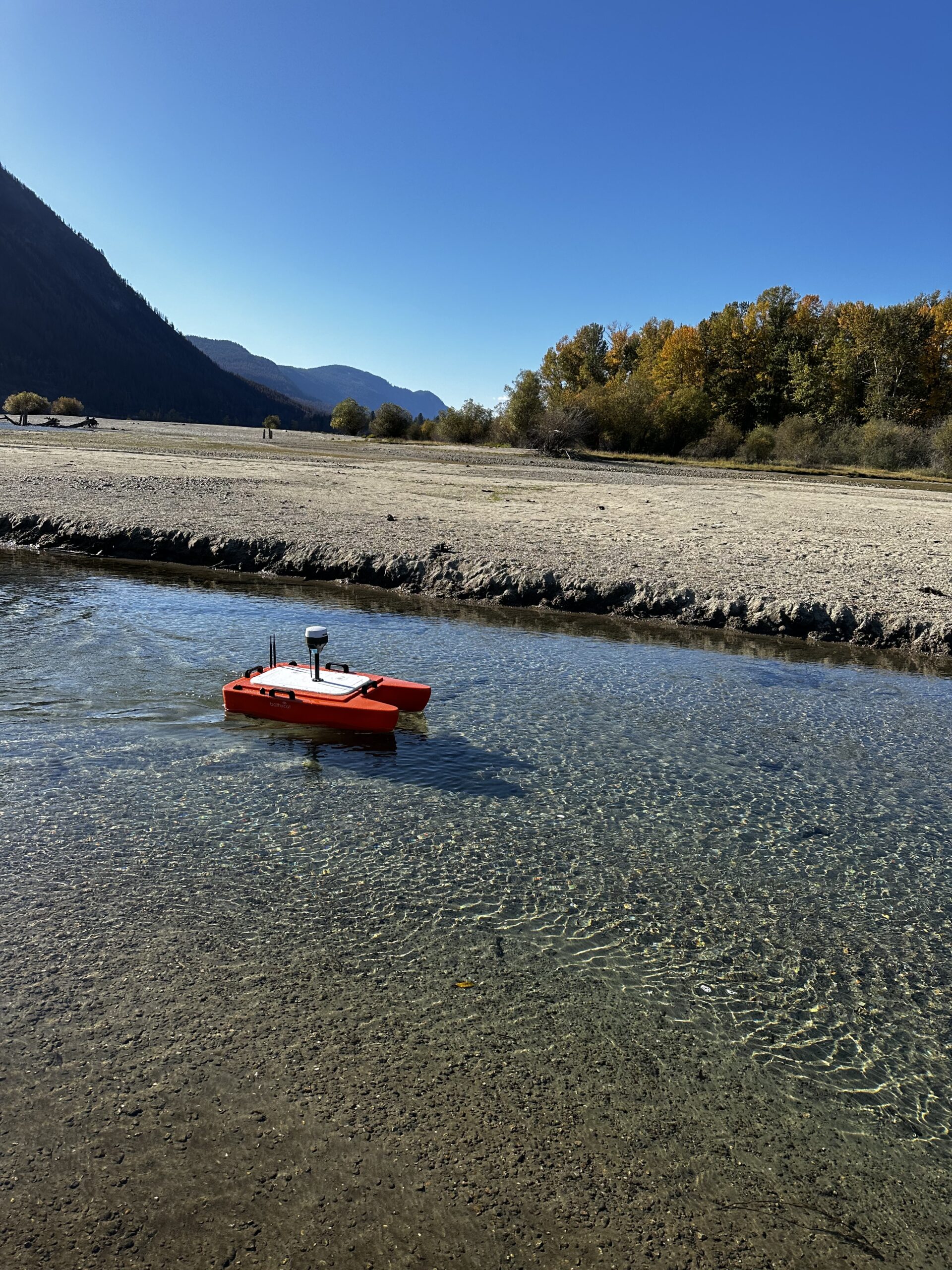
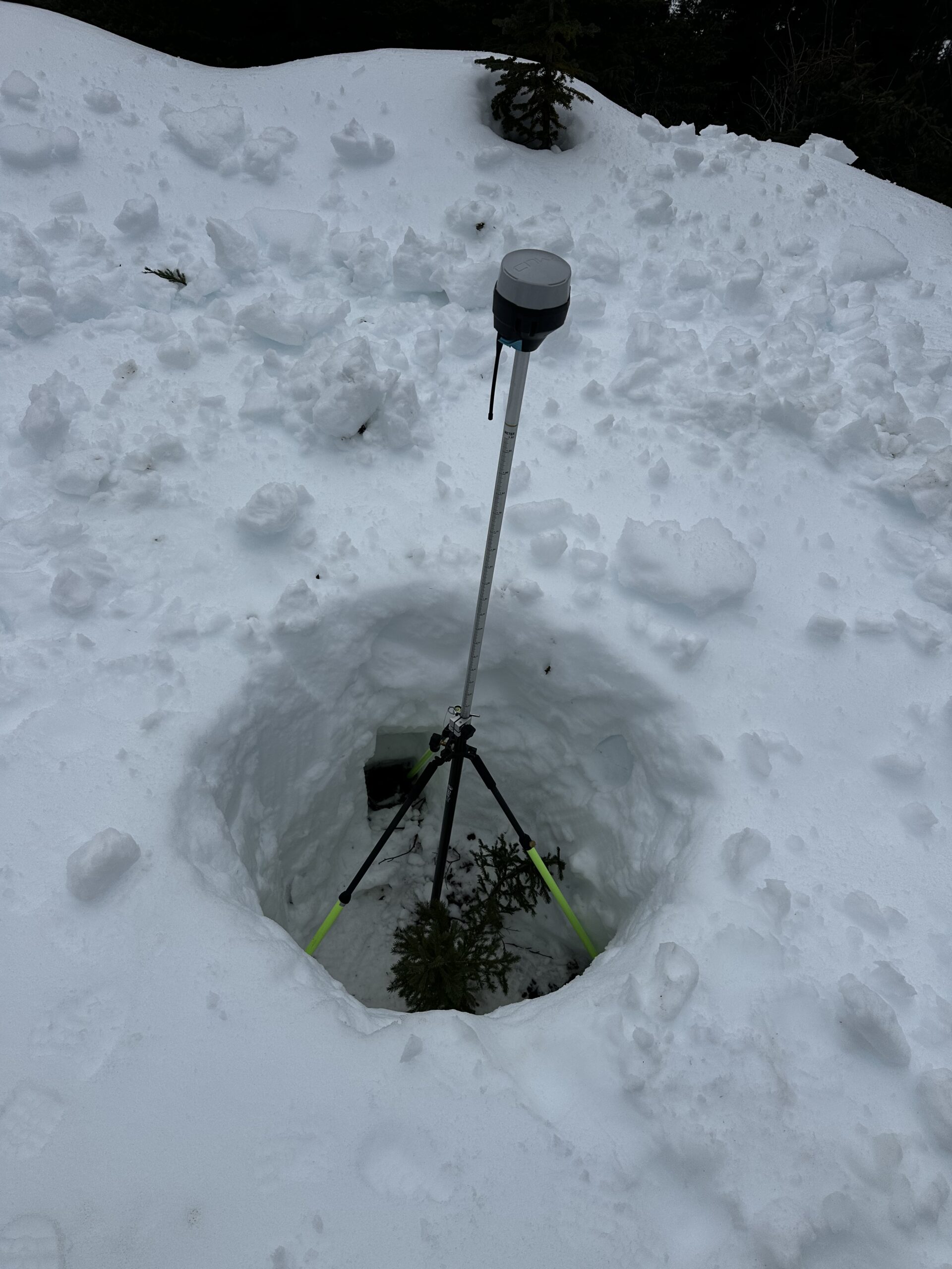
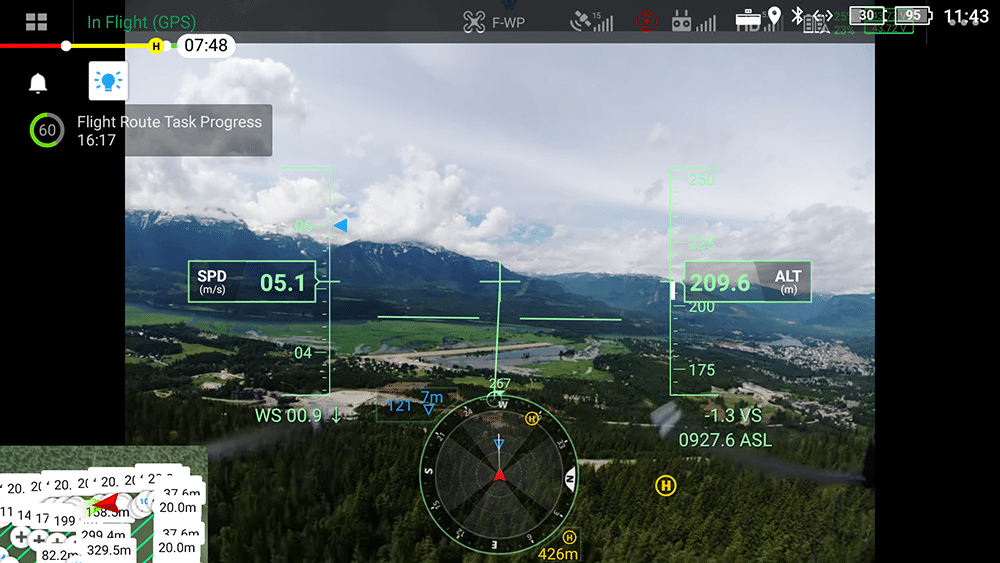
Till date, consultants and restoration teams use Rekon’s LiDAR and imagery to monitor erosion, natural systems, and terrain change. Our drone supports fish habitat mapping, watershed studies, and long-term zone monitoring.
Get High-Resolution, Low Impact Visuals
We deliver orthomosaics and bare-earth models—even through dense canopy—to help you meet environmental regulations with clear, non-invasive visuals.
