Rekon Solutions – LiDAR Drones
We’re engineers, builders, and backcountry problem-solvers who believe Fast & Accurate Data changes everything.
We started Rekon because we were tired of watching projects stall from bad information and slow surveys. After working in construction, camp jobs, and plant management, we knew there had to be a better way to get accurate terrain data, without putting people in risky situations.
We’ve spent years flying drones, building custom rigs, and pushing LiDAR into places most teams wouldn’t go. What started as two engineers with a garage full of drone parts has become one of the few independent RPAS LiDAR companies still standing after seven years.
We are not here to sell you tech, we are here to give you what you need to move your project forward with confidence & speed.
When you bring the challenge, we bring you accurate data.
Every site is different, and we treat it that way. We take the time to understand your objectives, terrain challenges, risks, and deadlines. Then we tailor a flight plan using our RPAS LiDAR systems to safely capture dense, high-accuracy ground data. Whether you are working in a mine, forest, floodplain, or up on a mountainside, LiDAR gets you covered.
Once we fly, we process everything in-house to ensure your topographic surveys, volume calculations, or bare-earth models are precise, reliable, and delivered fast. And we don’t just send files and vanish, we will be with you to ensure what you get works for you as you need it to.
From disaster zones to development sites, Rekon got real results. LiDAR technology has helped teams make better decisions, faster globally.
When the Coquihalla Highway washed out in 2021, we were flown in by helicopter to scan the damage for emergency response crews–a project featured by the Discovery Channel. Our RPAS LiDAR data helped engineers visualize what had collapsed and plan how to rebuild it.
At the Revel Ridge Gold Mine, we mapped over 21 km² of glacial terrain in Revelstoke to deliver high-density topographic data in remote, high-altitude conditions. Traditional survey methods failed here.
We partnered with Silver Star Mountain Resort to map ski runs for their SNOWsat grooming system to improve safety, efficiency, and planning across the slopes.
Amidst 2023 wildfire in Sorrento, BC, we were invited by First Nations and the Department of Fisheries and Oceans to assess post-fire erosion in Canada’s most important salmon spawning grounds.
These are just a few of the places where we’ve made an impact. We have helped teams like yours see more clearly, act more confidently, and avoid costly setbacks.
We don’t just fly drones. We deliver the kind of data that keeps people safe, timelines on track, and big decisions fully informed.
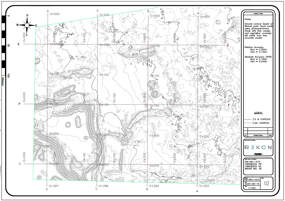
We’ve worked with mining companies, developers, engineering firms, First Nations, and government agencies.





“Rekon was super helpful. We had an emergency situation that needed their support. They were able to get to site on very short notice. The deliverables they provided and support through the whole process was remarkable. Looking forward to future project with this group.”
Darcy Palombi
D.K. Bowins and Associates Inc.

“Very cooperative guys who got on the job very quickly. LiDAR results from the survey on my 5 acres were nothing short of amazing! Price was very competitive, based on my 30+ years in the civil engineering world. Should I need this sort of work done in the future, I will be a return customer.”
Brock Nanson
Private Property Owner

“These guys are top of their game. Surface mapping provided from Rekon has been game changing for our business. Can’t recommend them enough. Great service, reasonable pricing and we are provided with a quality professional product every time we use them.”
Jason BOEHR
Amize Canada
Looking for a land surveyor near me in British Columbia or Alberta, but need high-density data, fast turnaround, and safe operations? That’s where we come in.
Rekon delivers advanced RPAS LiDAR mapping services across BC and Alberta, including key regions like Vancouver, Kelowna, Edmonton, Calgary, Revelstoke, and Northern BC. From the backcountry to the city edge, we help you skip the delays and get straight to the data that drives your project forward.
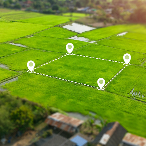
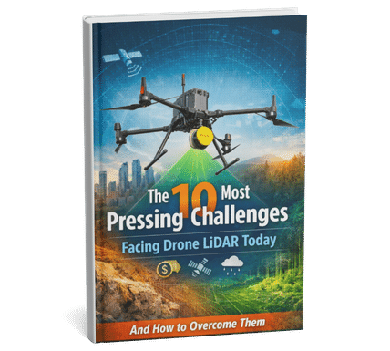
This e-book explores the critical constraints shaping drone LiDAR, such as payload weight vs. performance, limited flight time, high costs, and regulatory issues.