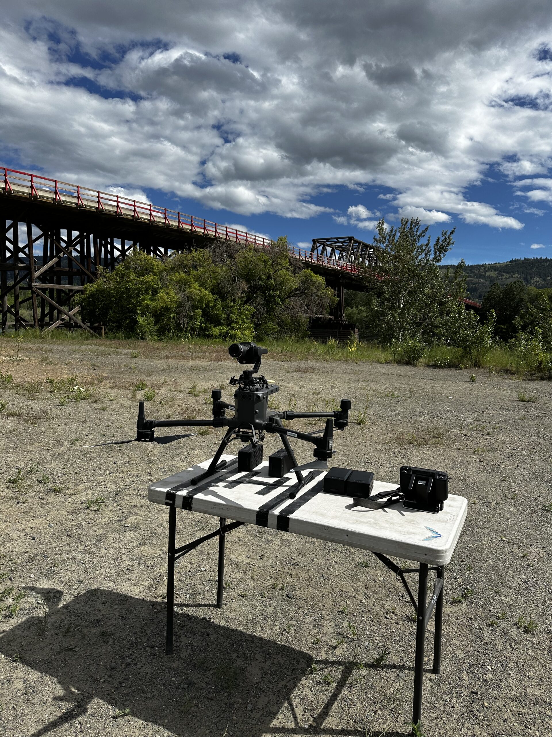
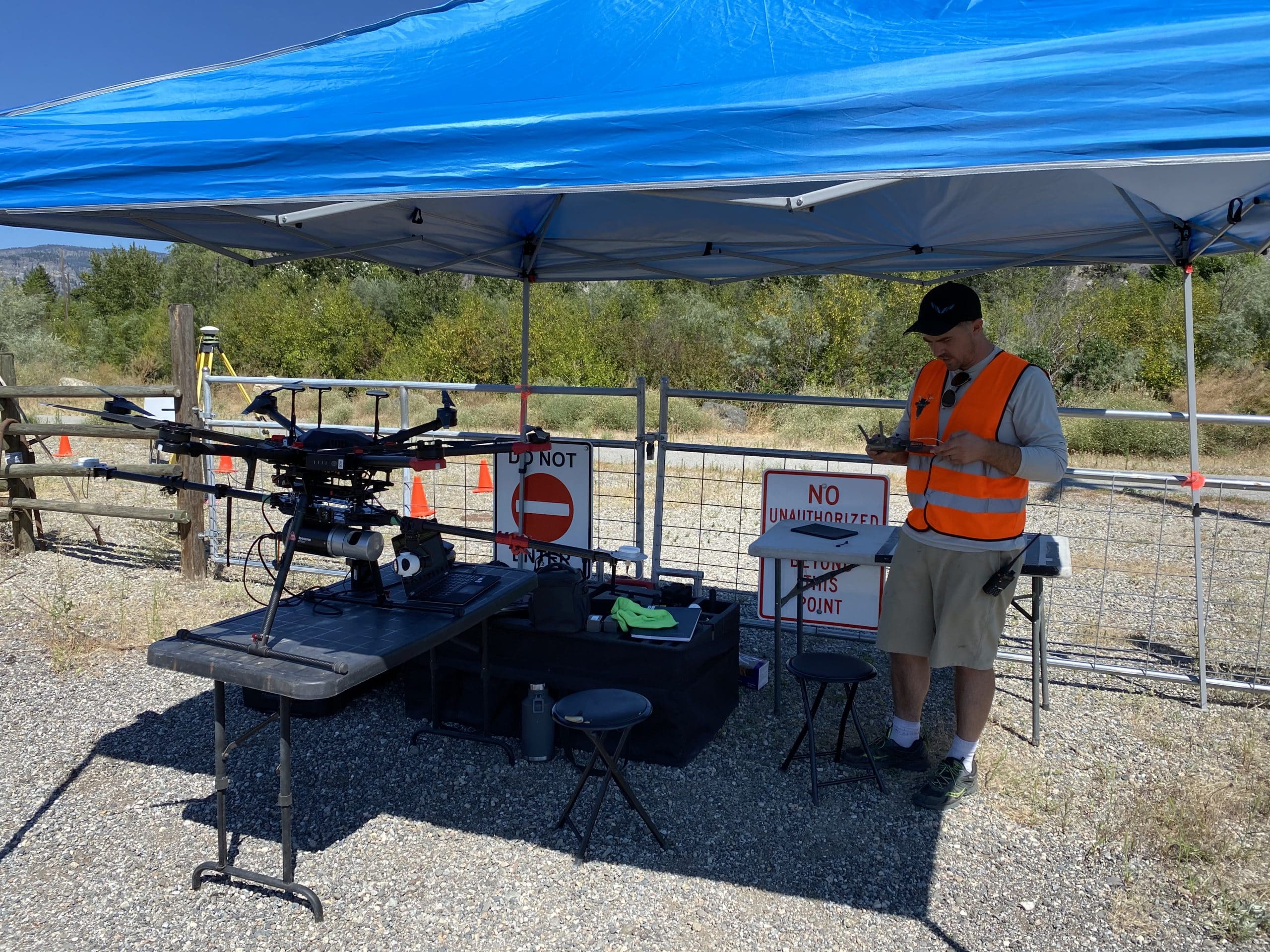
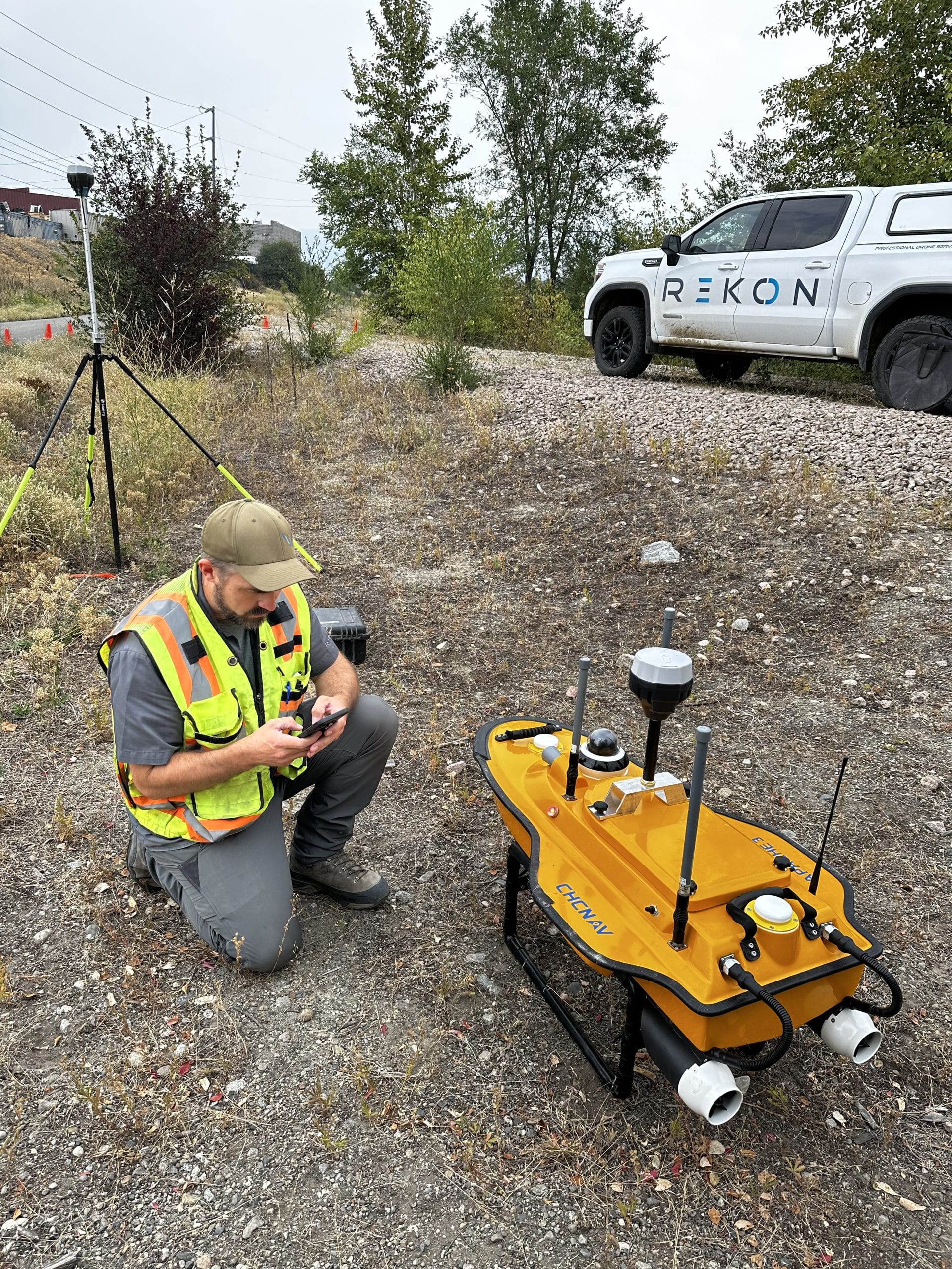
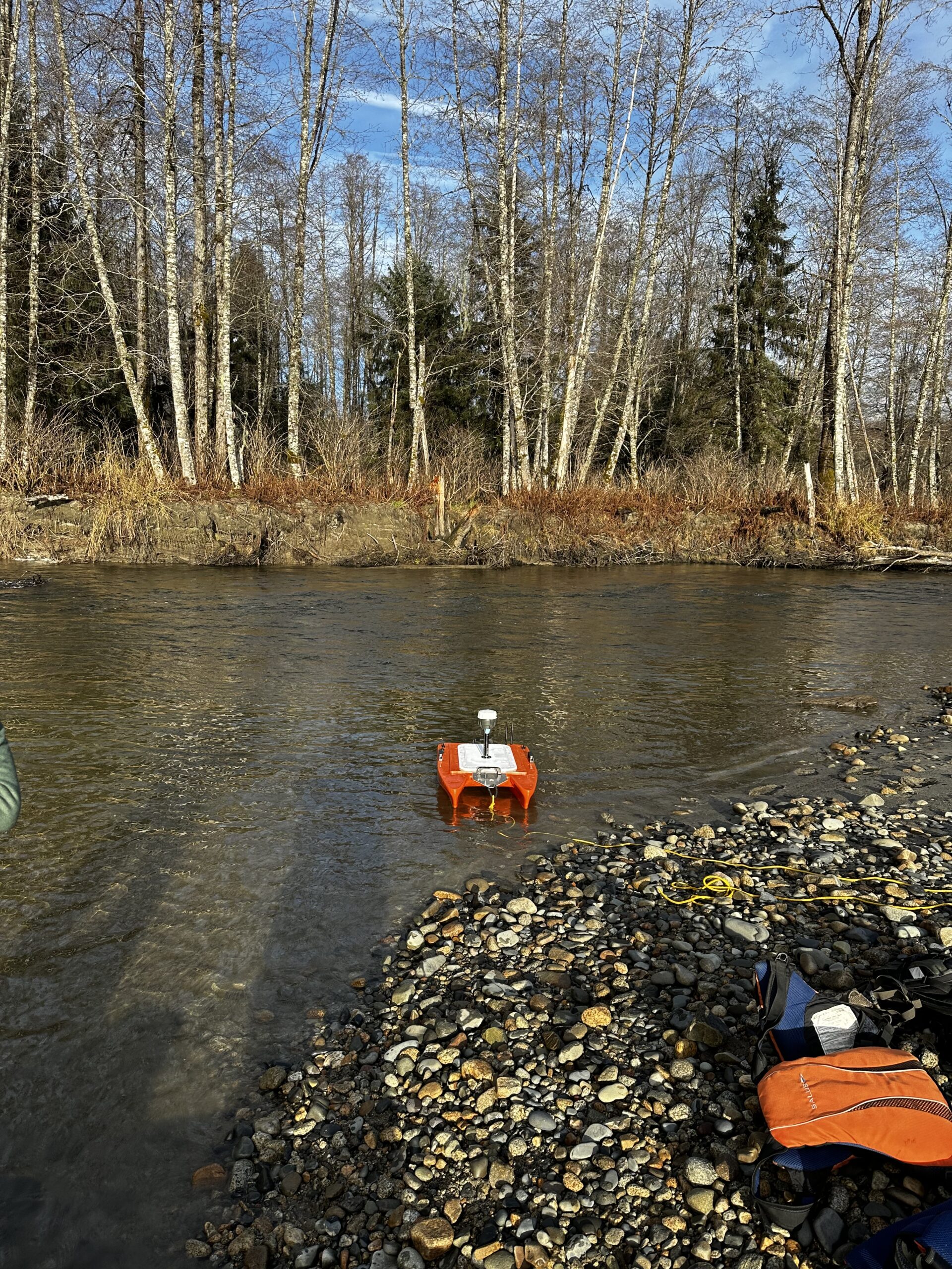
Rekon Solutions – LiDAR Drones
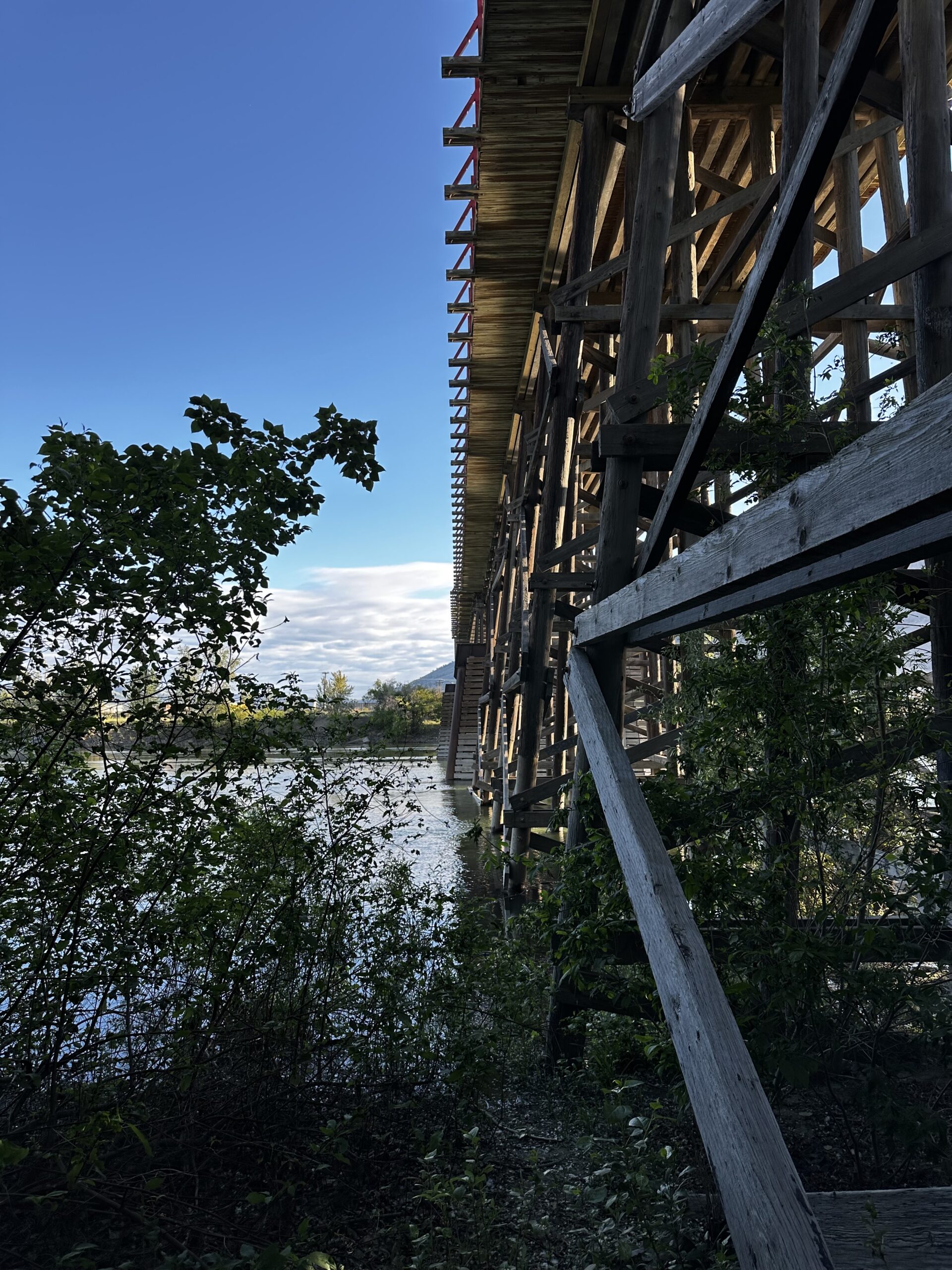
From flood zones to unstable slopes, you can get complete aerial data to bring clarity to complex terrains. Rekon’s team will work with your engineers to assess change, support remediation, and create safe, data-driven solutions.
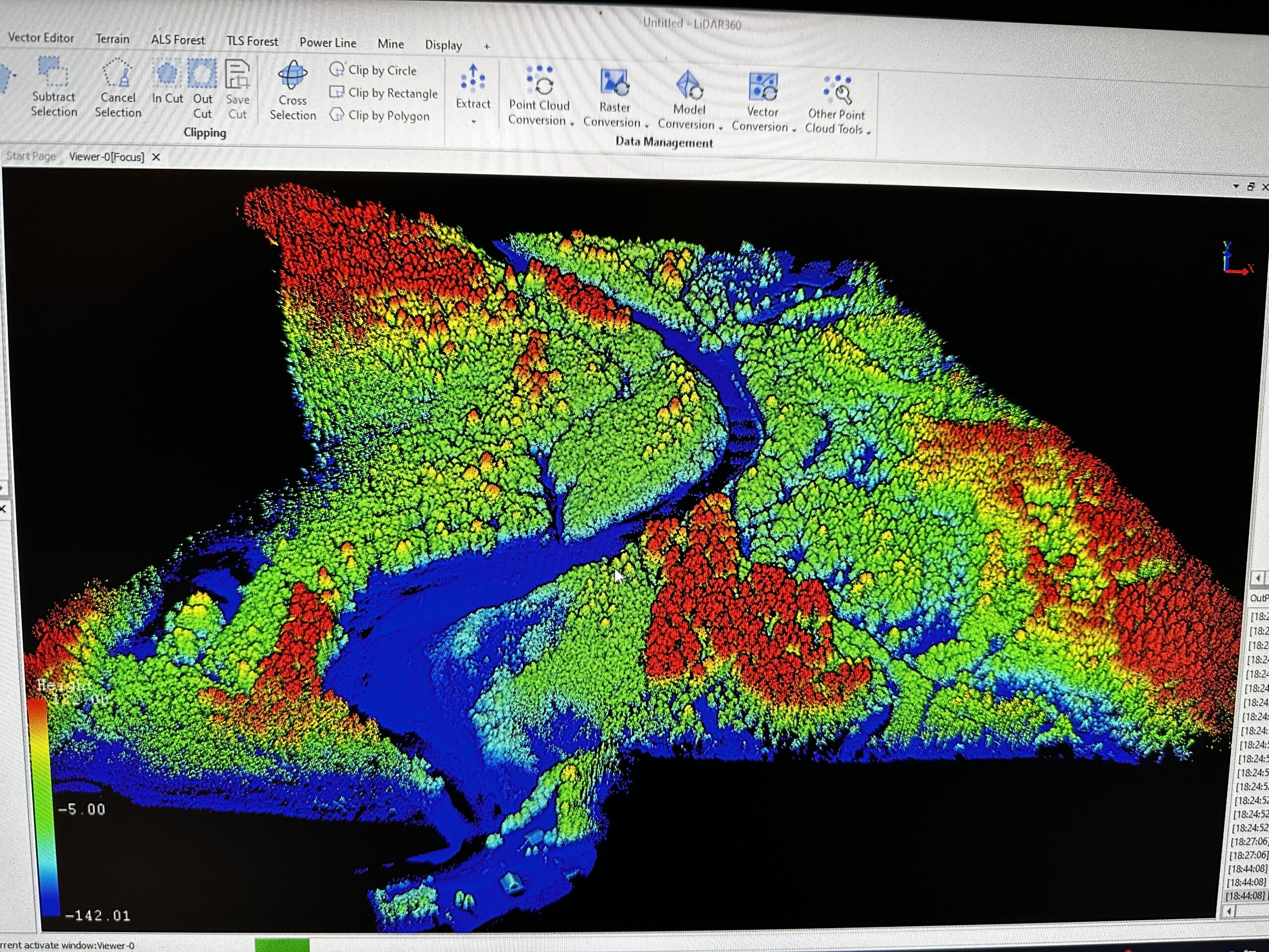
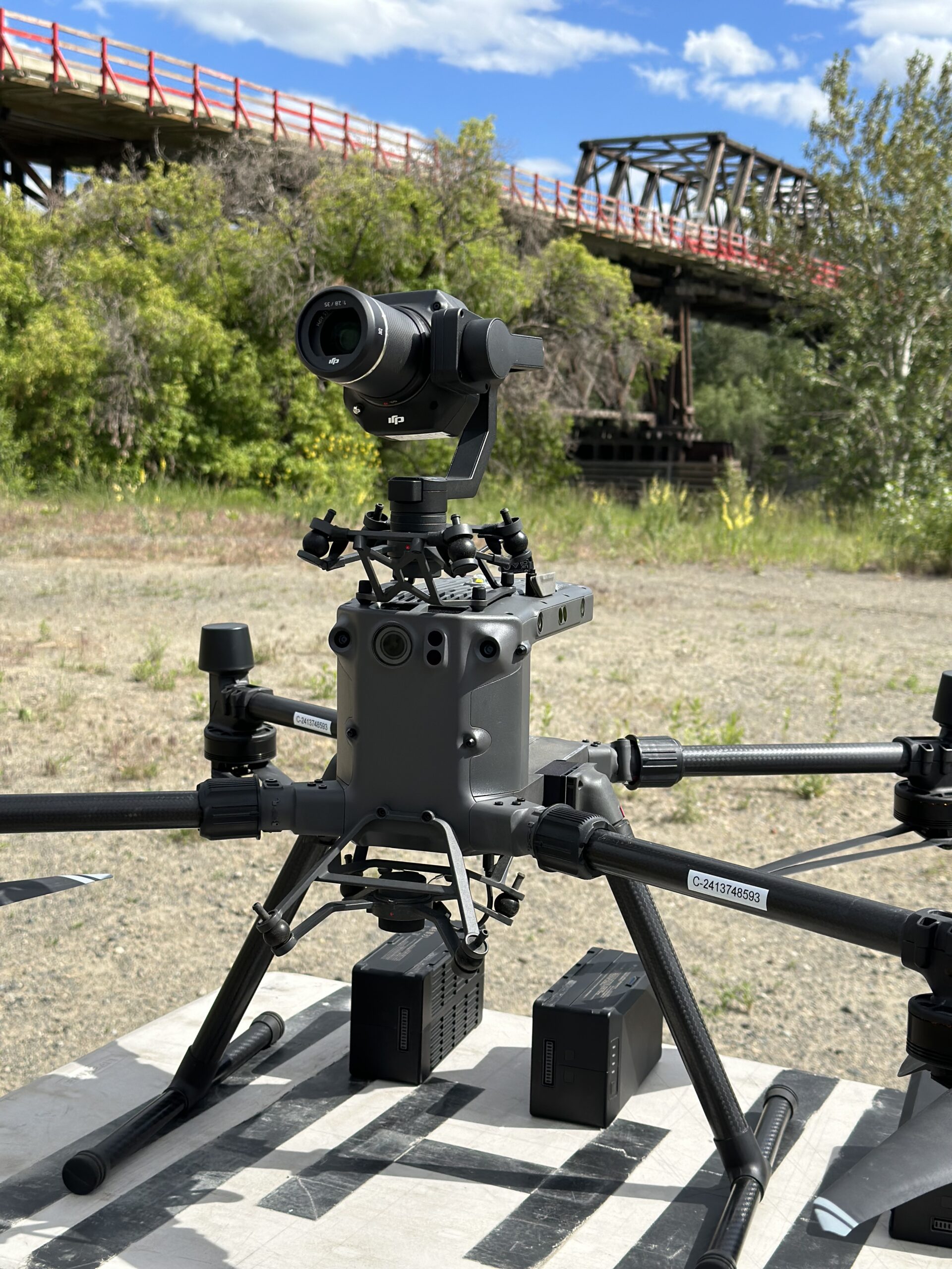
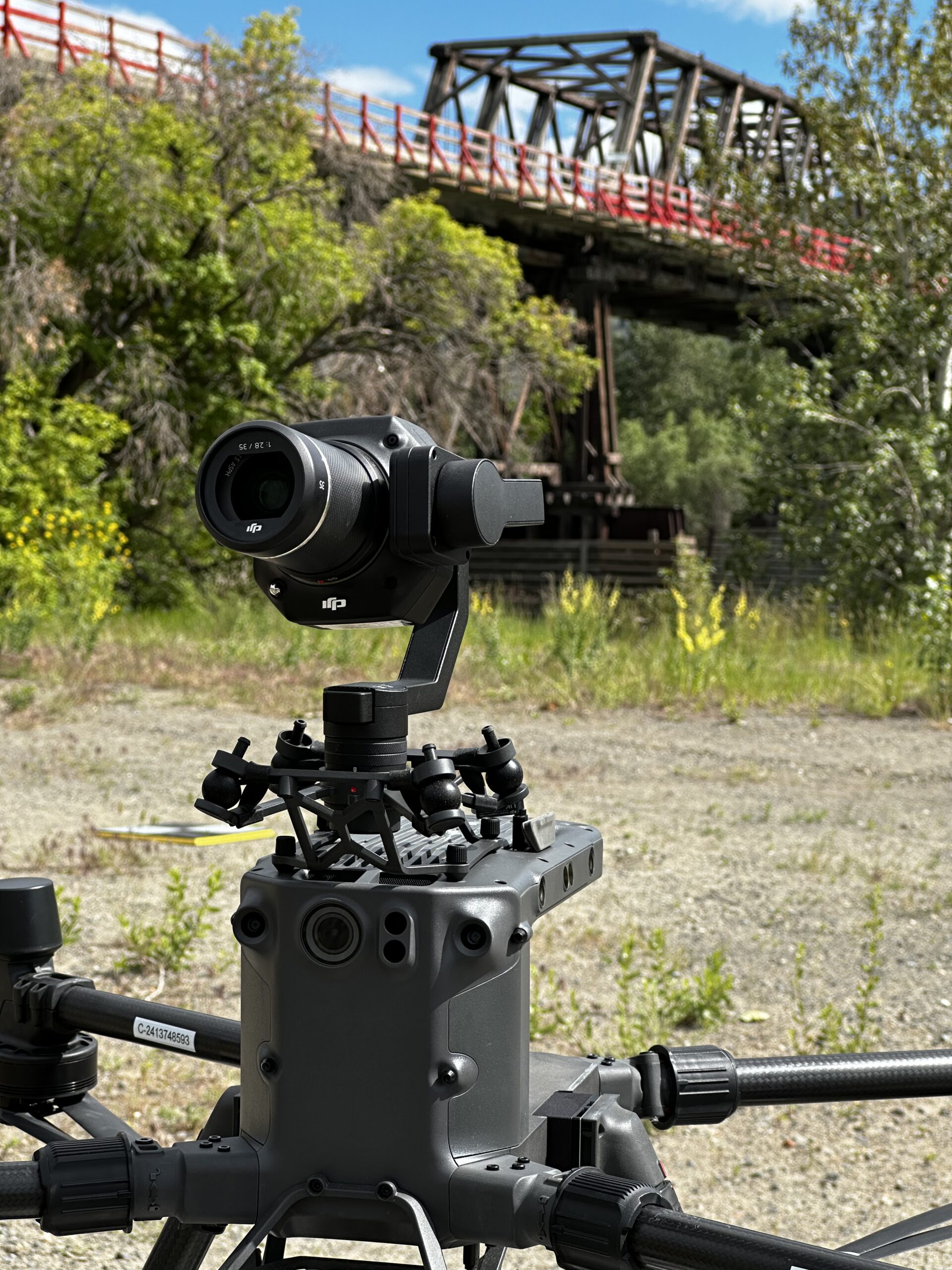
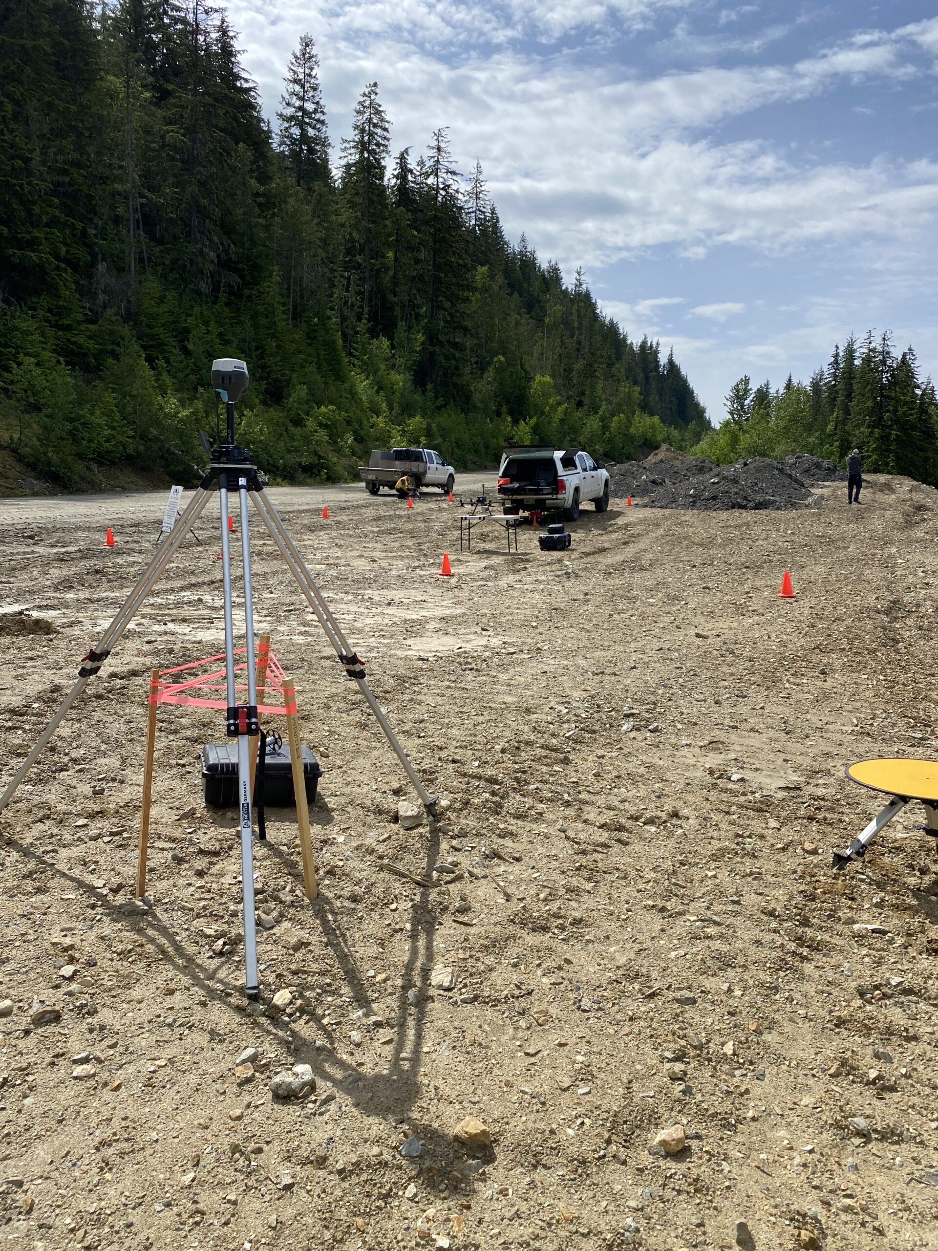
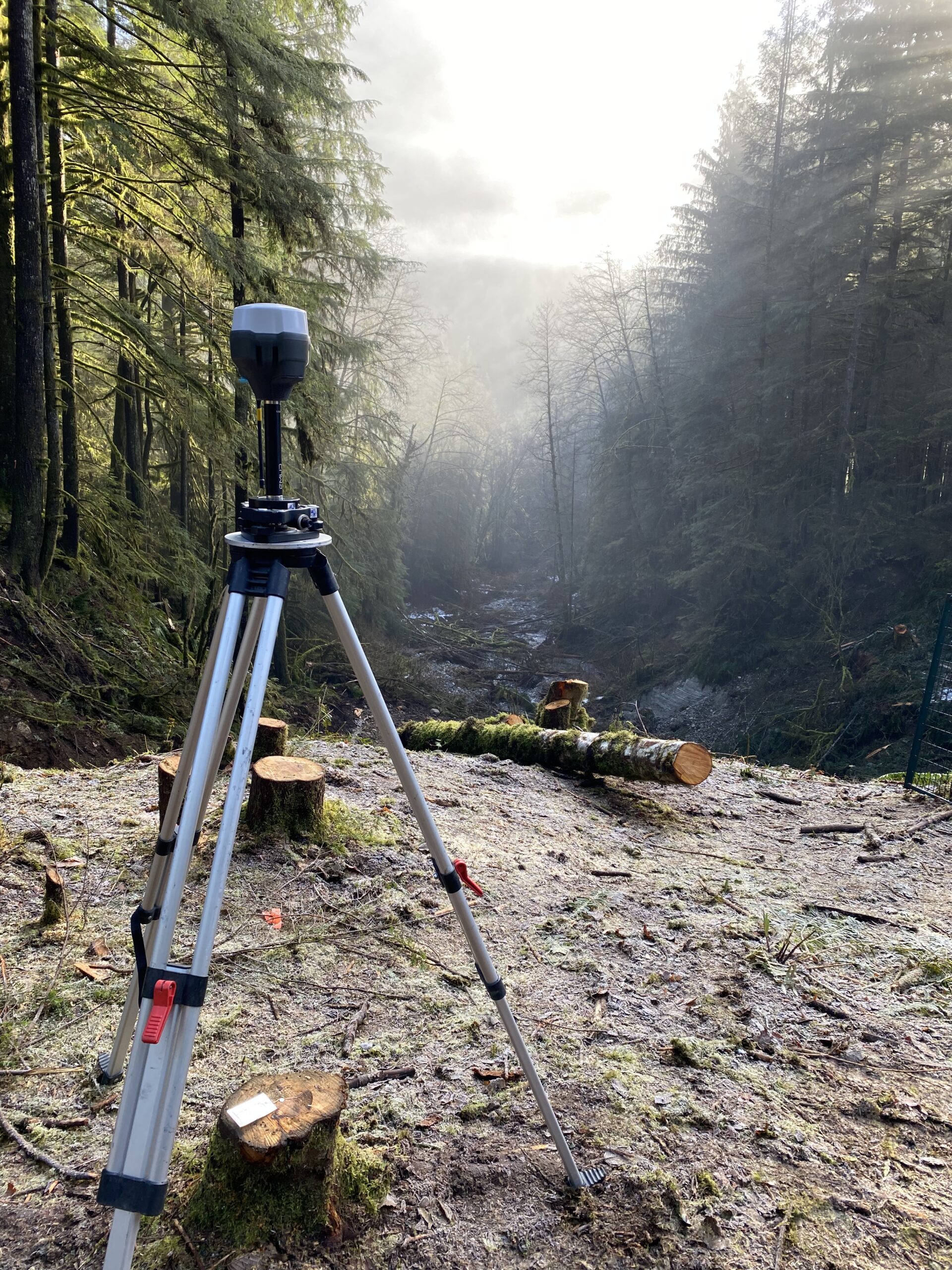
LiDAR makes inaccessible data accessible fast. We’ve scanned landslides post-flood and supported MOT washout repairs with centimeter-level accuracy. Our LiDAR helps engineers easily find what’s hidden from ground view.

This e-book explores the critical constraints shaping drone LiDAR, such as payload weight vs. performance, limited flight time, high costs, and regulatory issues.