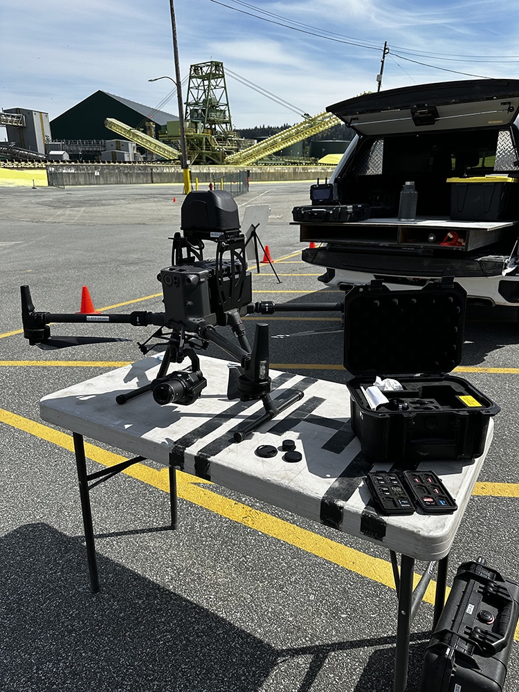
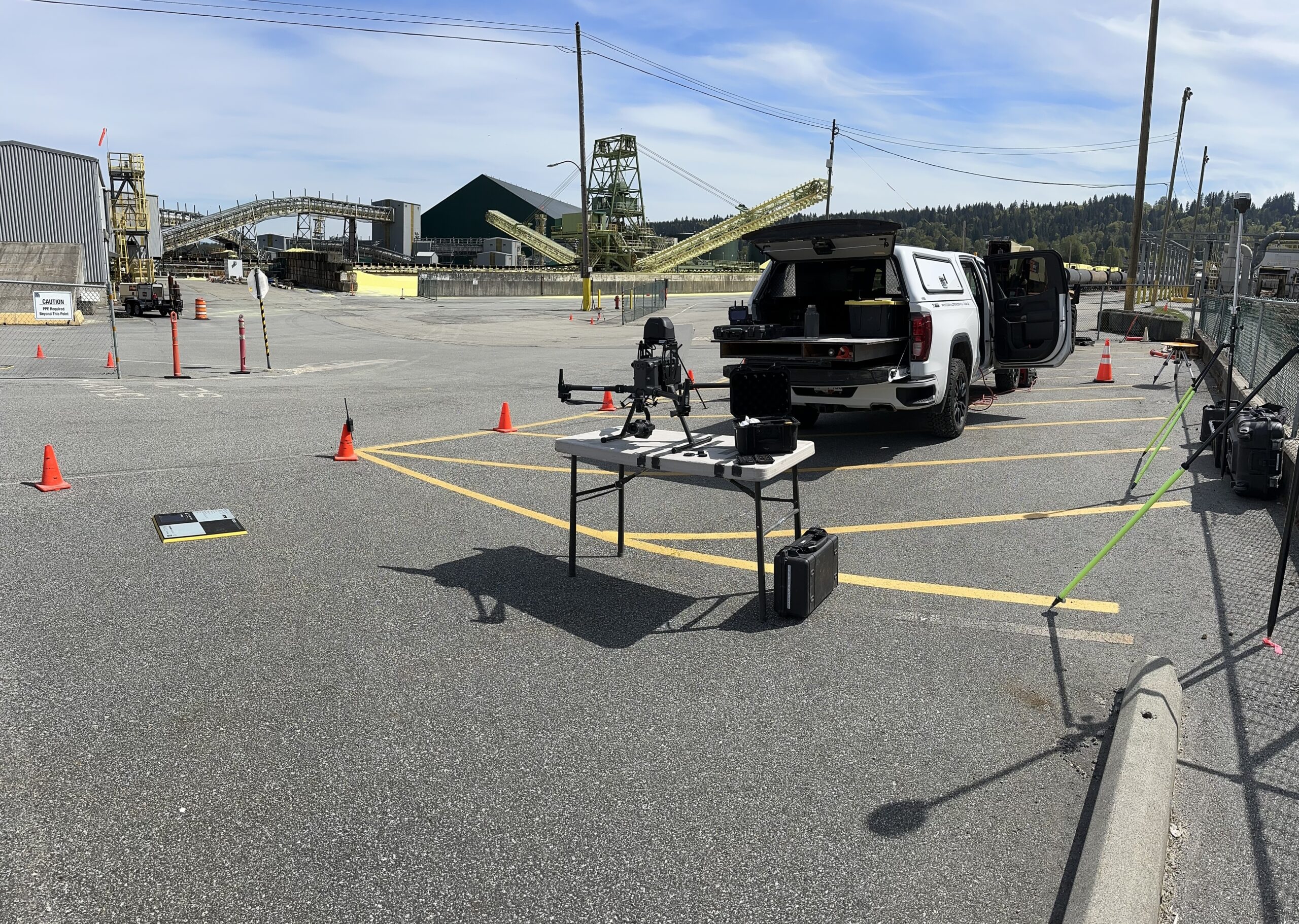
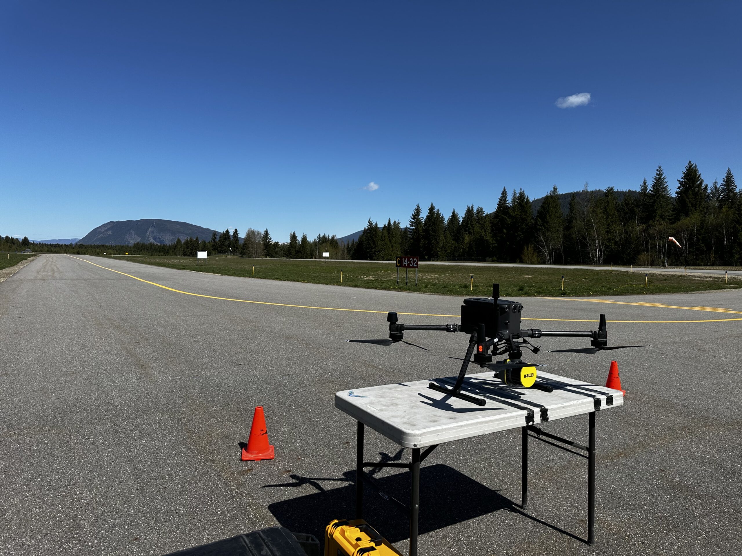
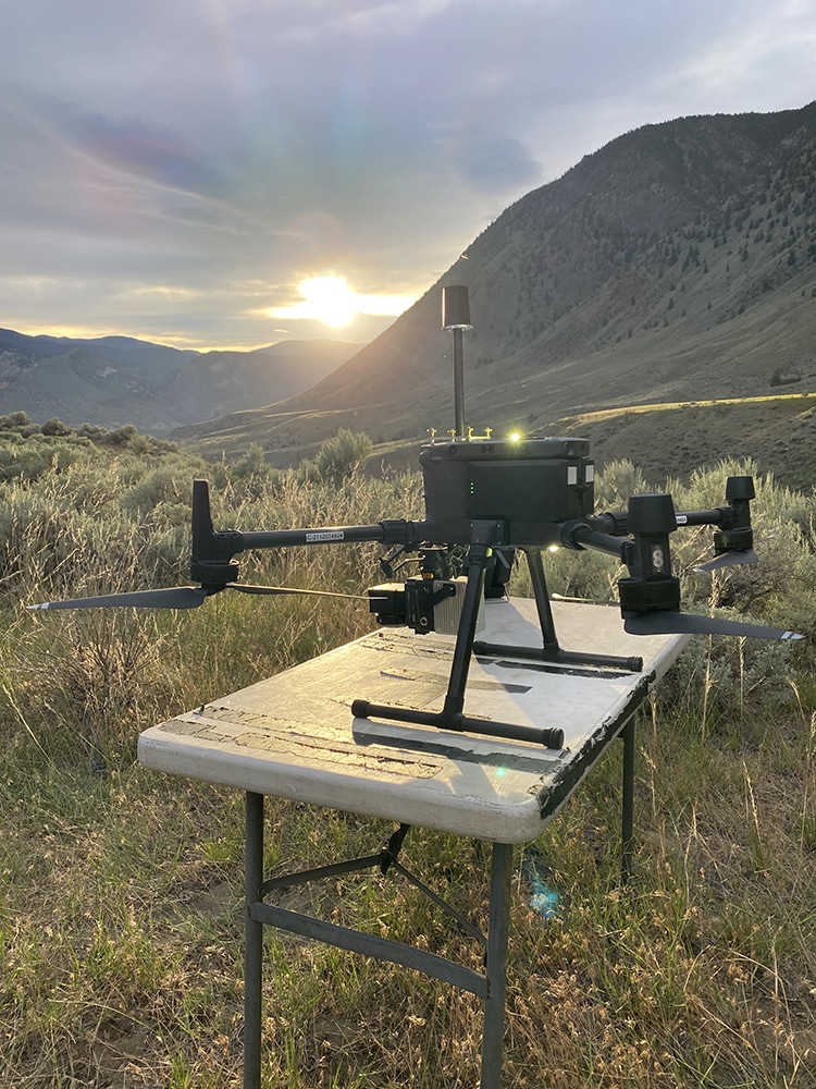
Rekon Solutions – LiDAR Drones
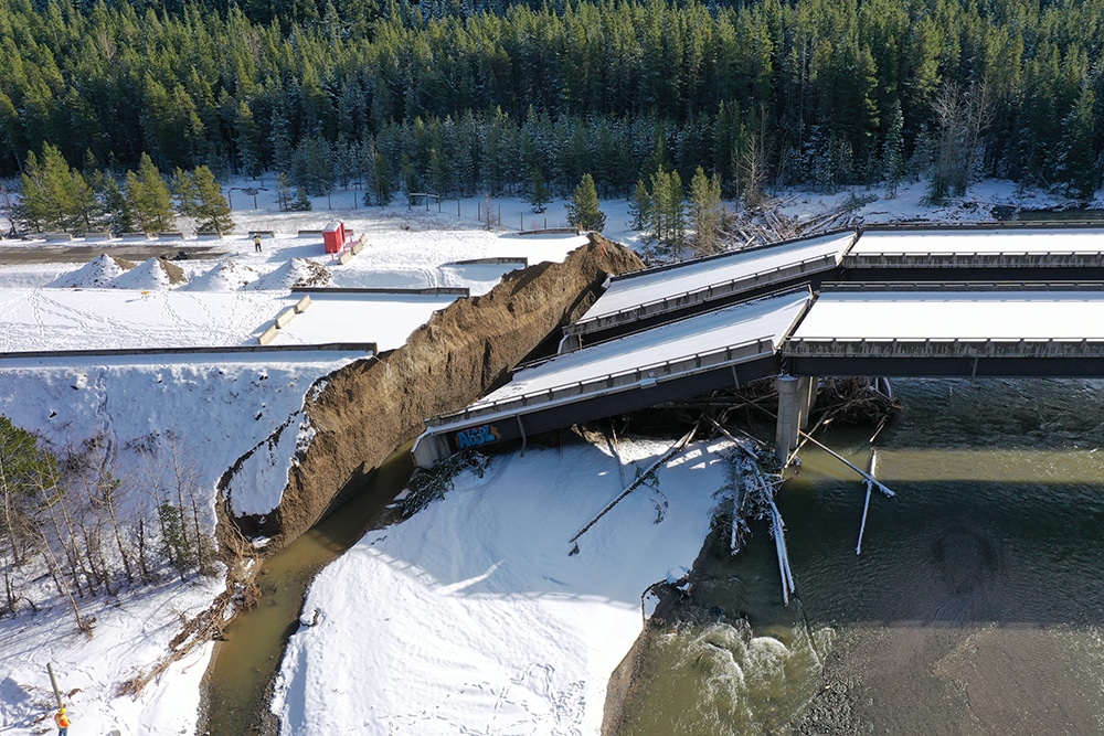
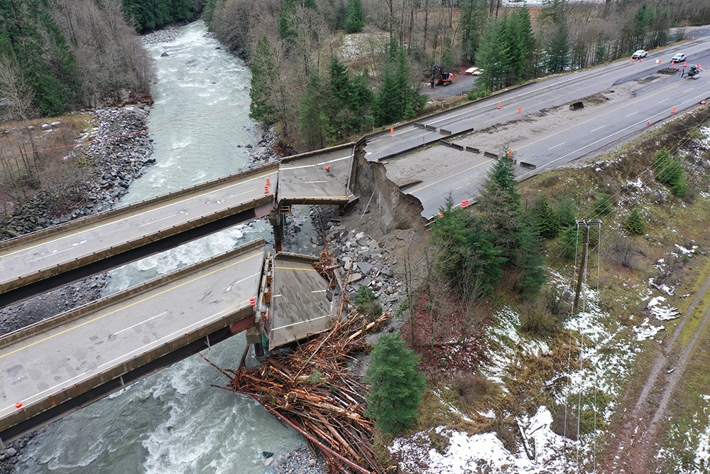
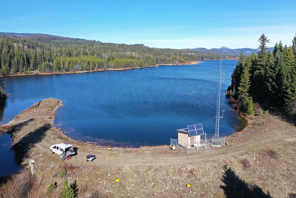
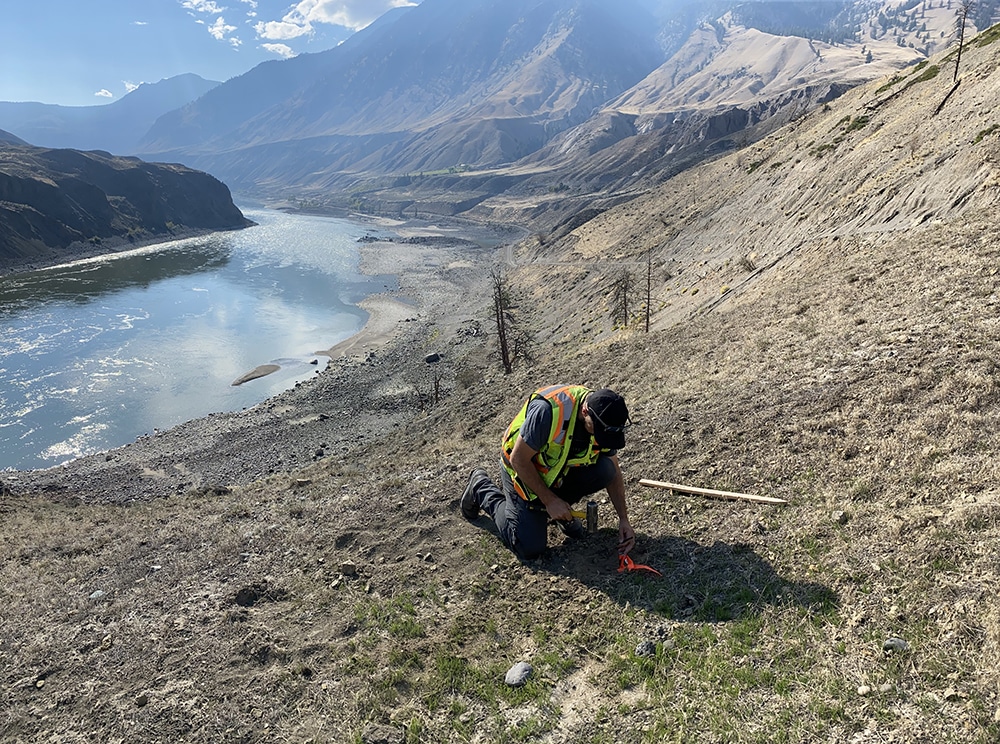
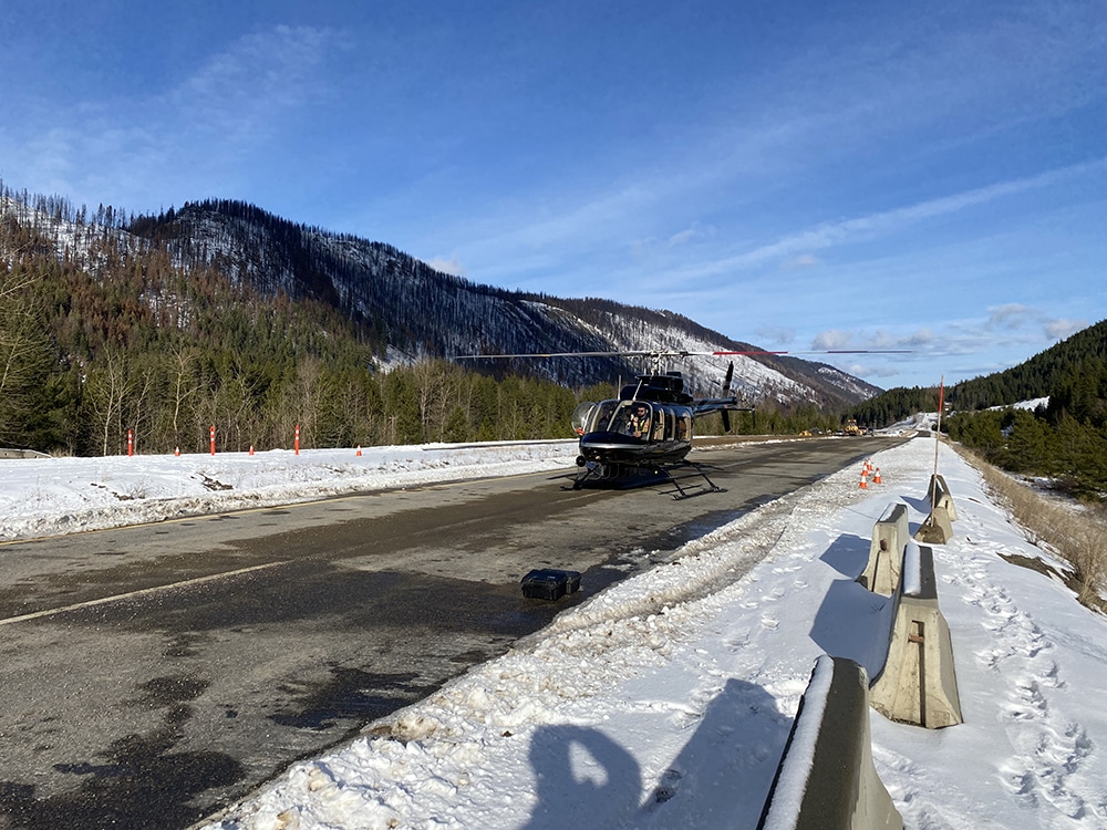
Agencies and First Nations trust Rekon for reliable aerial data that informs development, stewardship, and review. From salmon habitats to road rebuilds, we have proudly provided what decision-makers need.
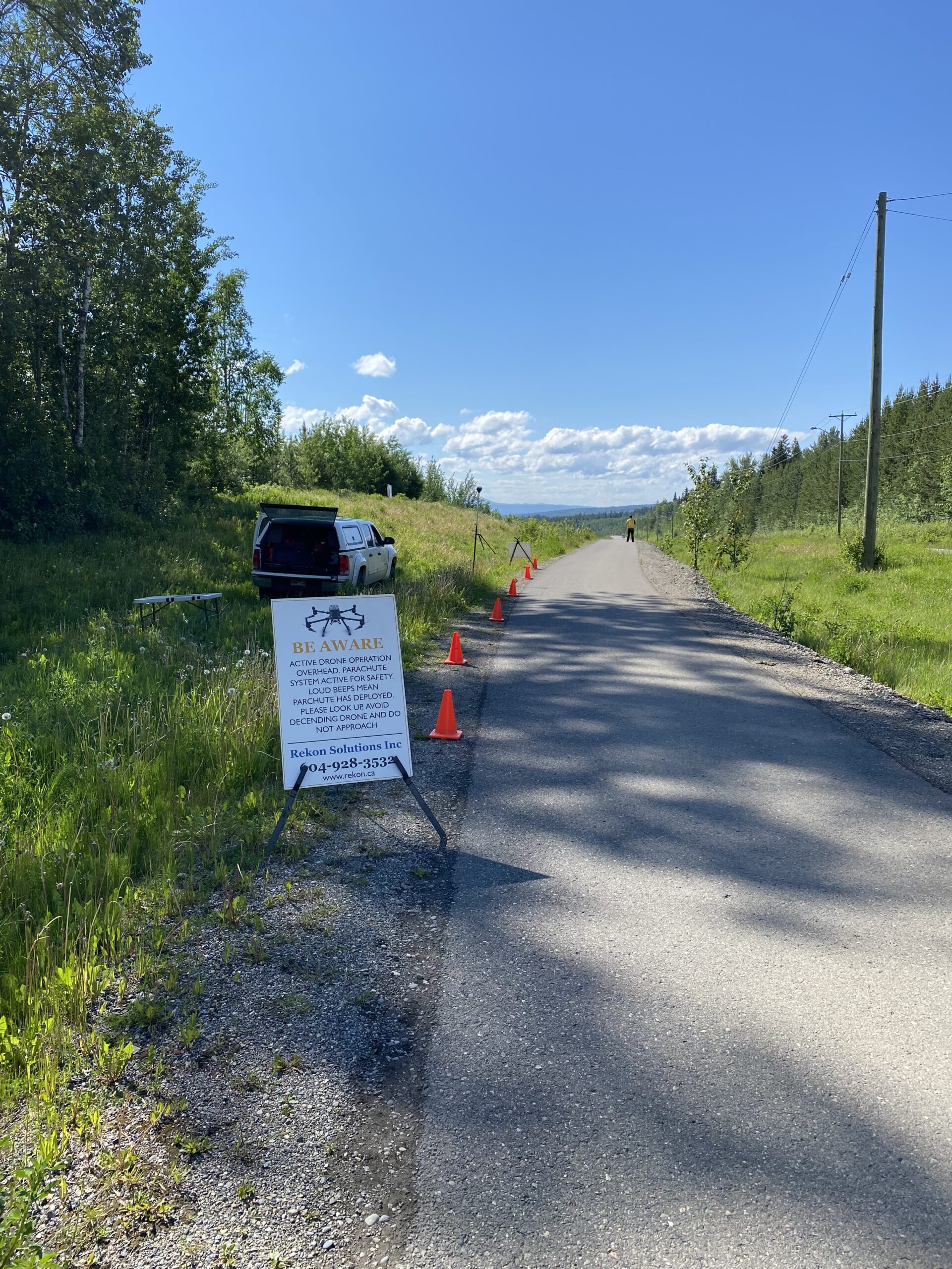
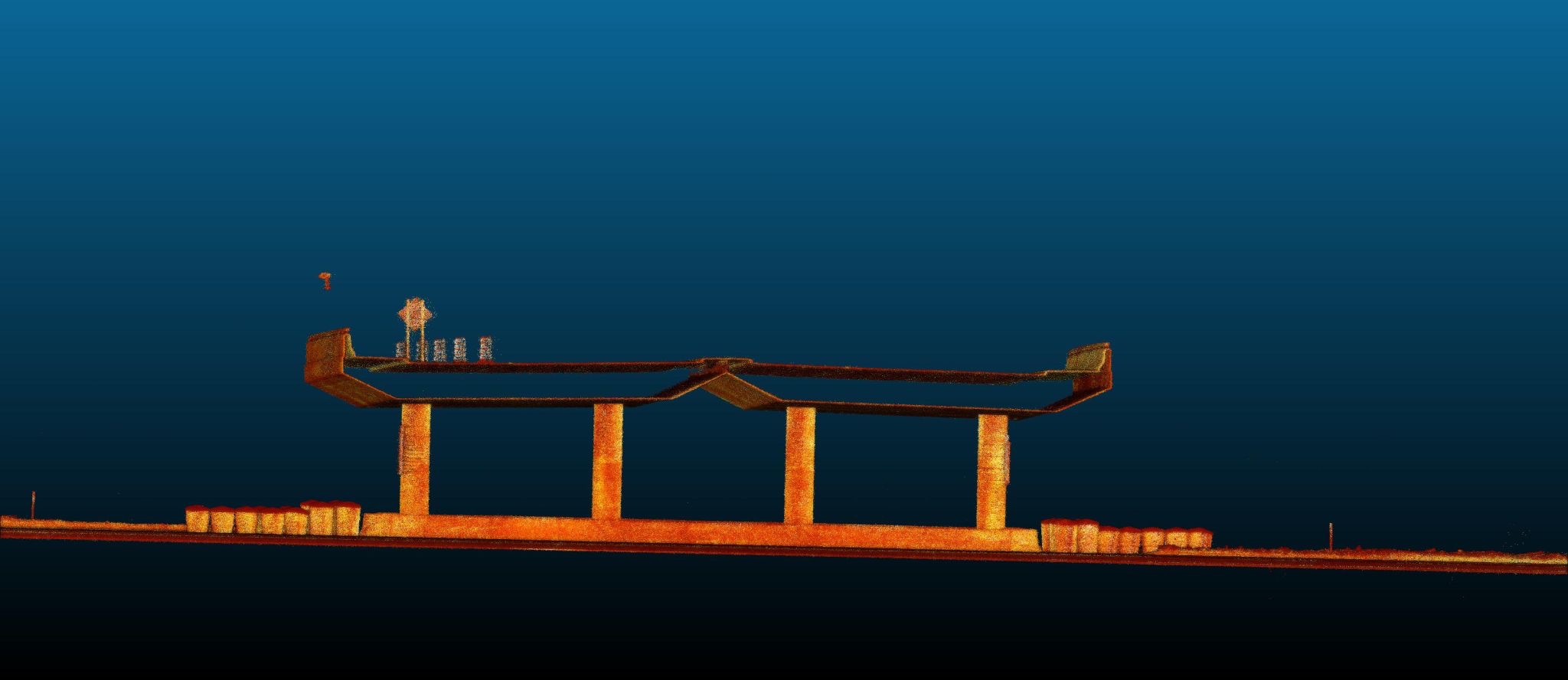
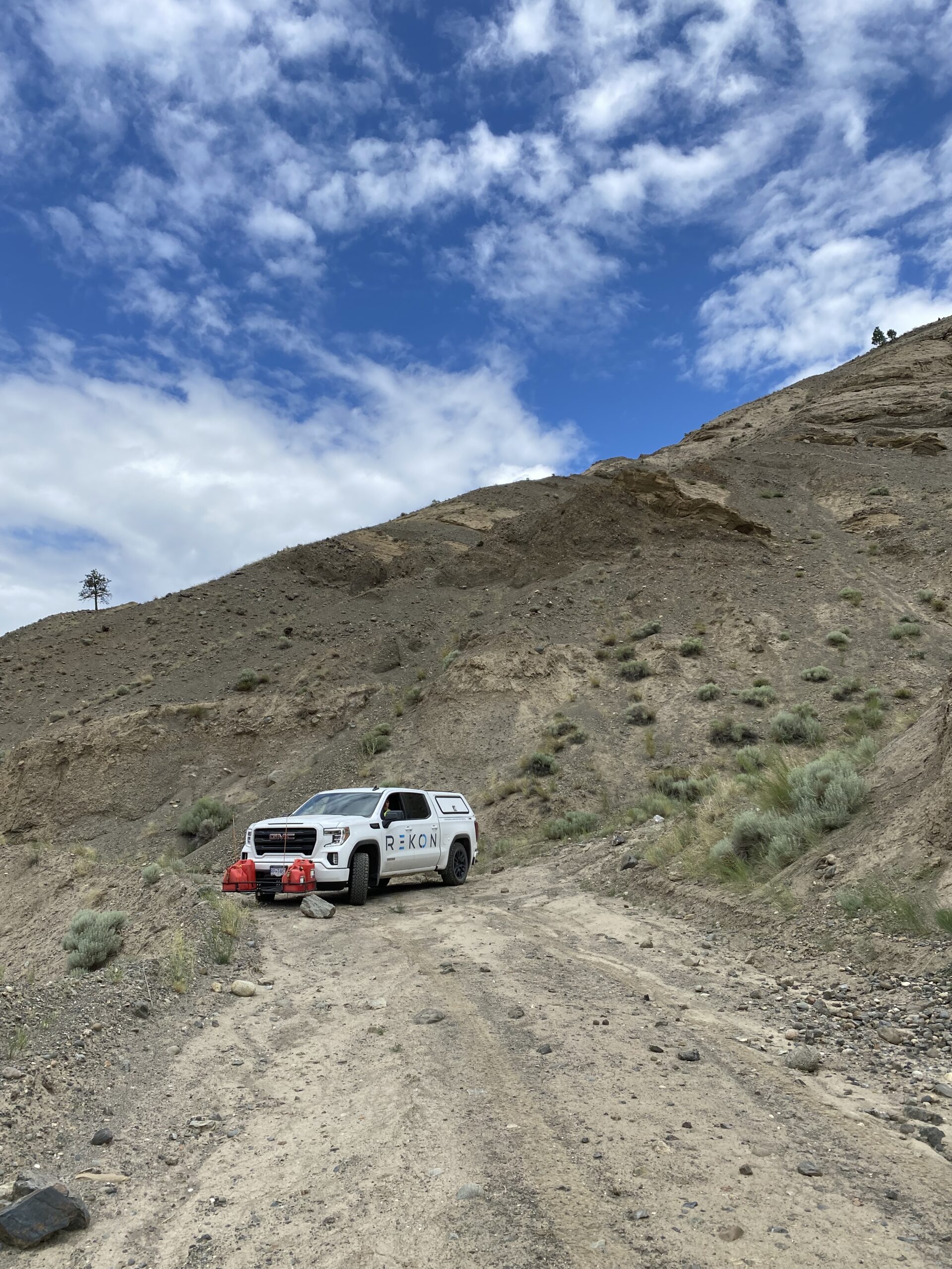
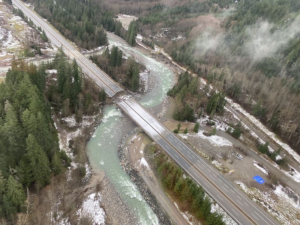
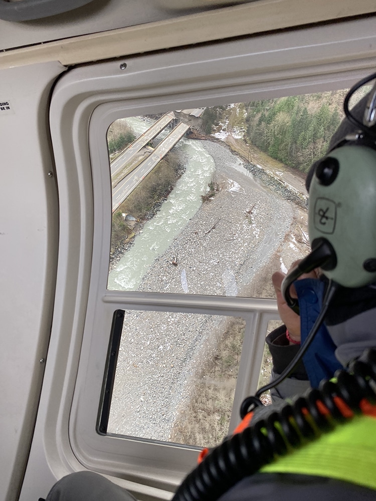
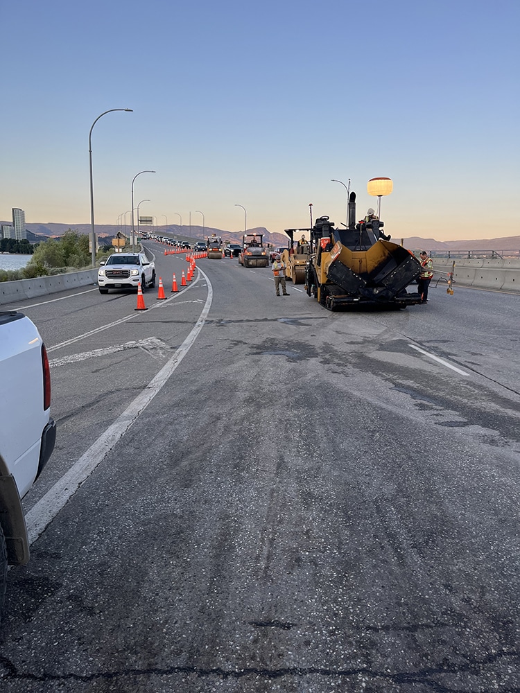
We have flown highway sites by helicopter, mapped crown land, and supported federal teams with terrain models for permits and disaster recovery.

See how Rekon transformed its mapping workflows with Propeller—delivering LiDAR and orthomosaic data faster than ever, while giving clients clearer insights and stronger results.