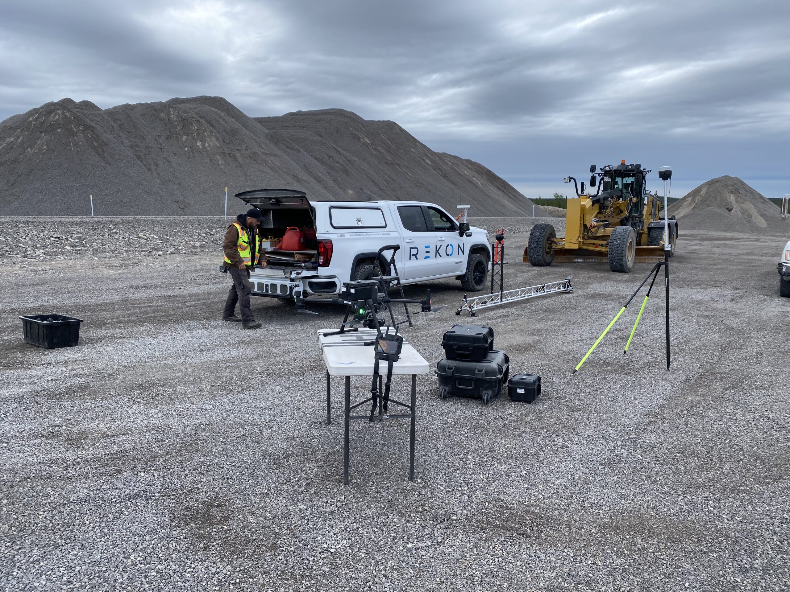
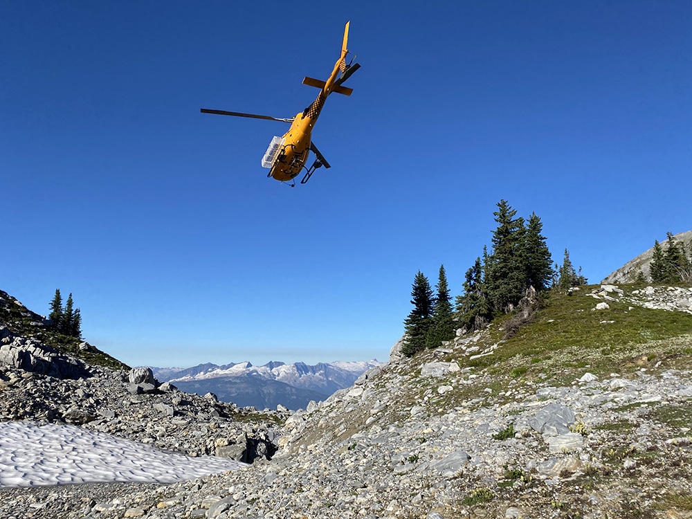
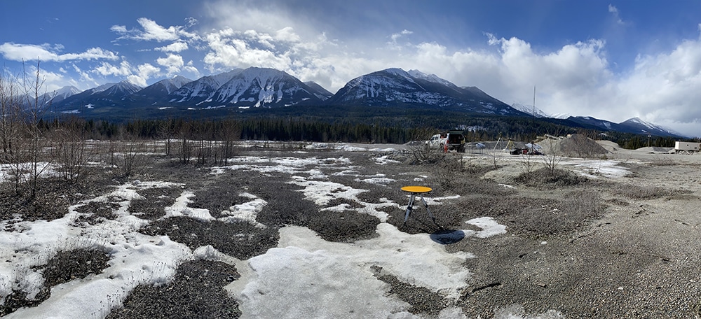
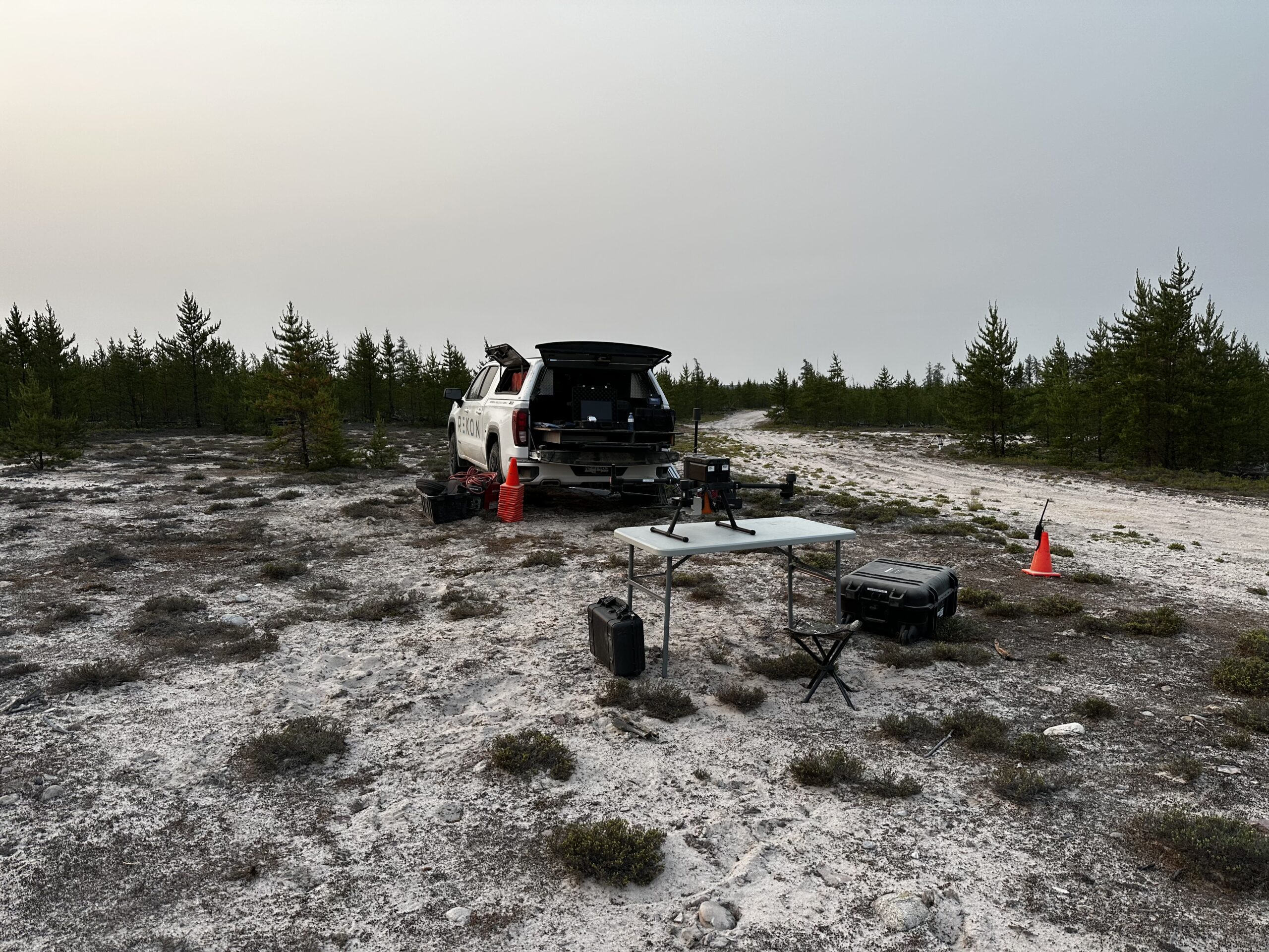
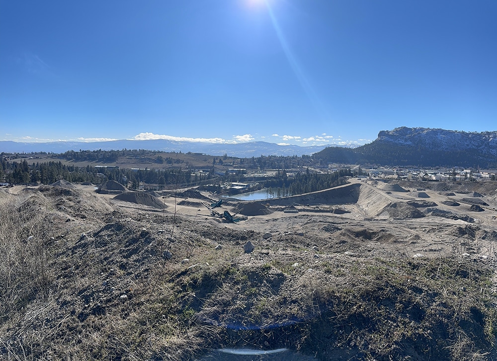
Rekon Solutions – LiDAR Drones
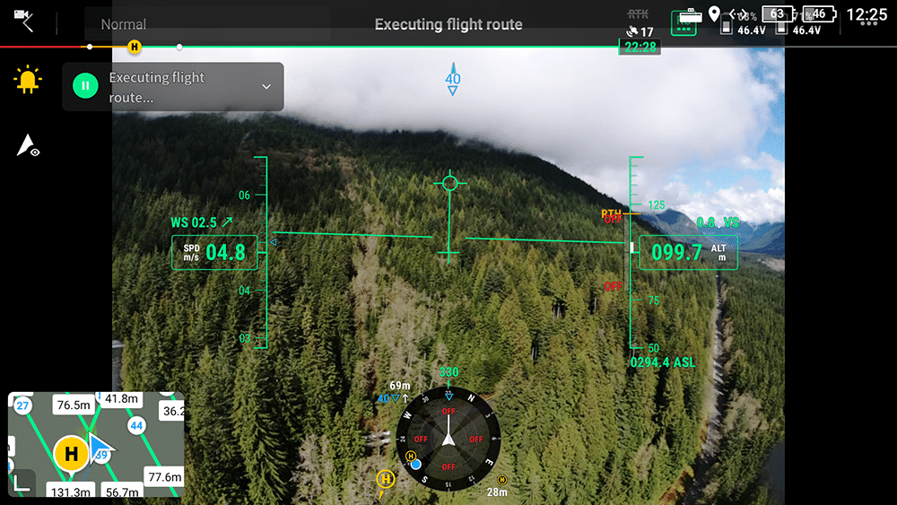
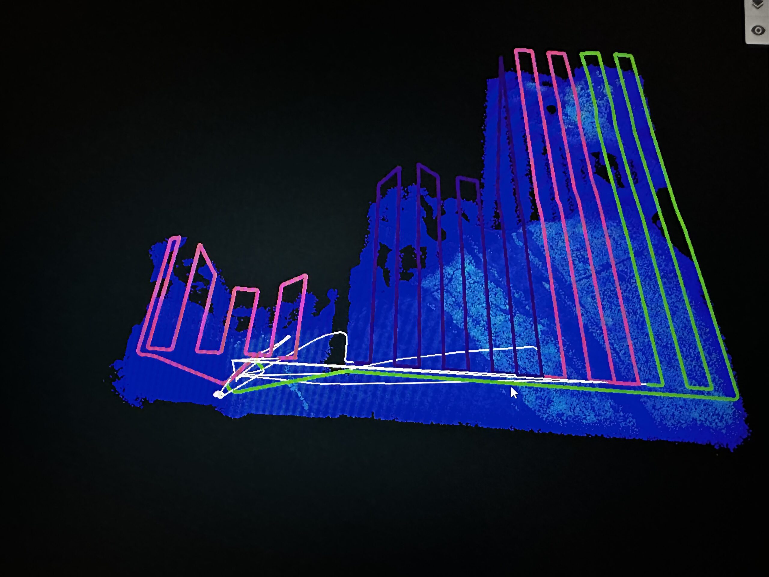
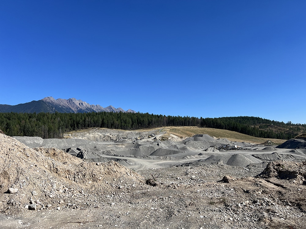
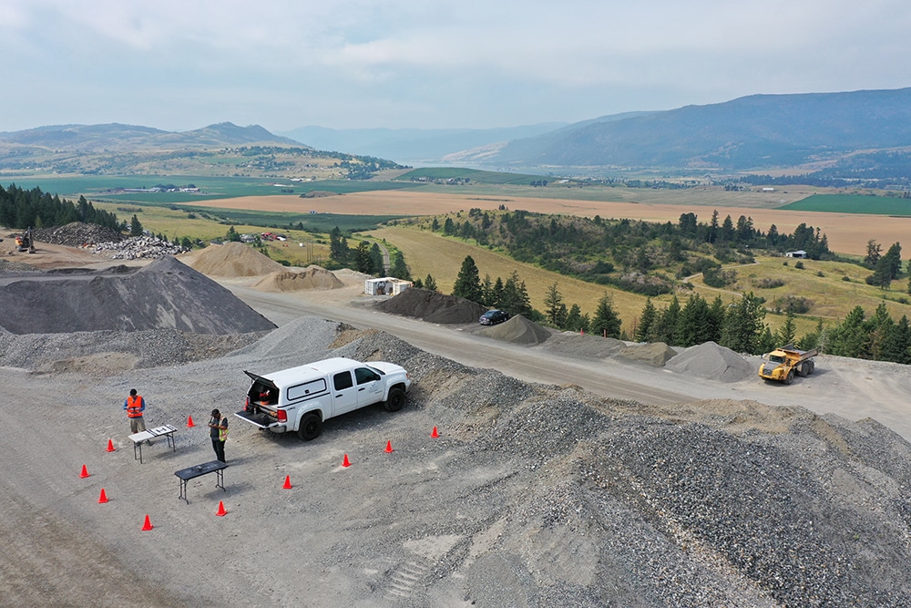
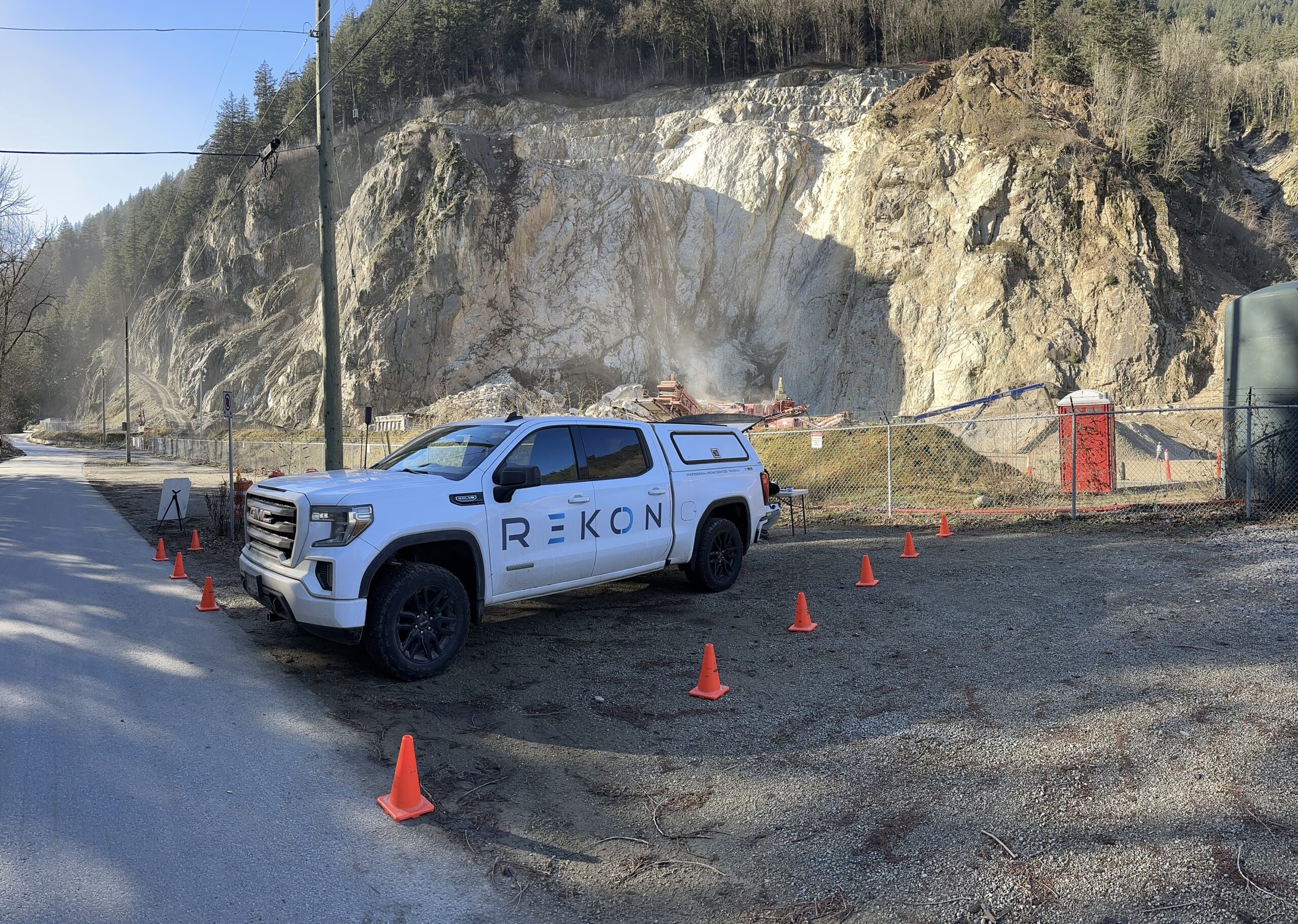
From early-stage claims to active mine sites, Rekon’s RPAS LiDAR and photogrammetry services help mining teams make faster, safer decisions. We provide volumetric analysis, topographic maps, and visuals that reveal terrain challenges before they cost you. Whether you’re estimating stockpiles or aligning your mine plan with real-world data, our LiDAR drone solutions can deliver accurate data fast.
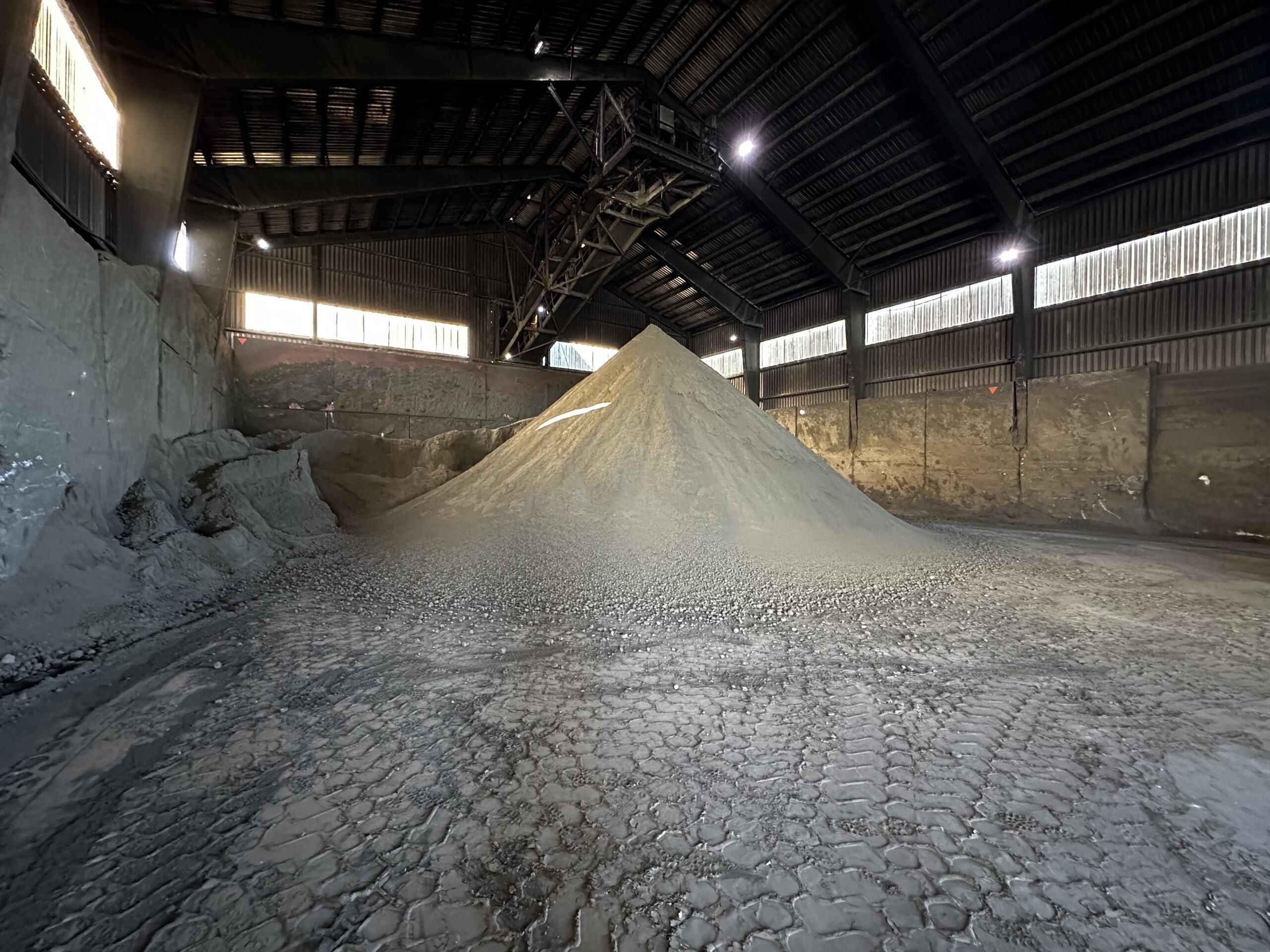
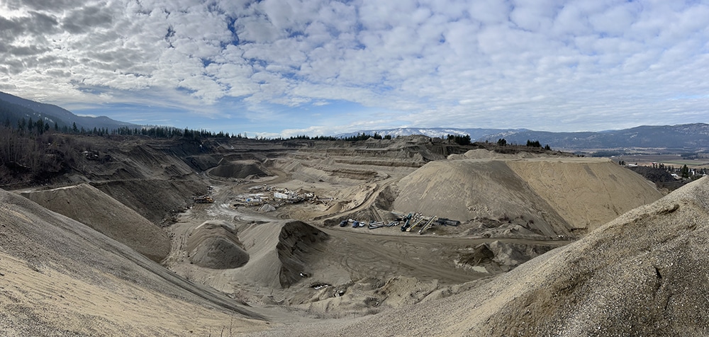
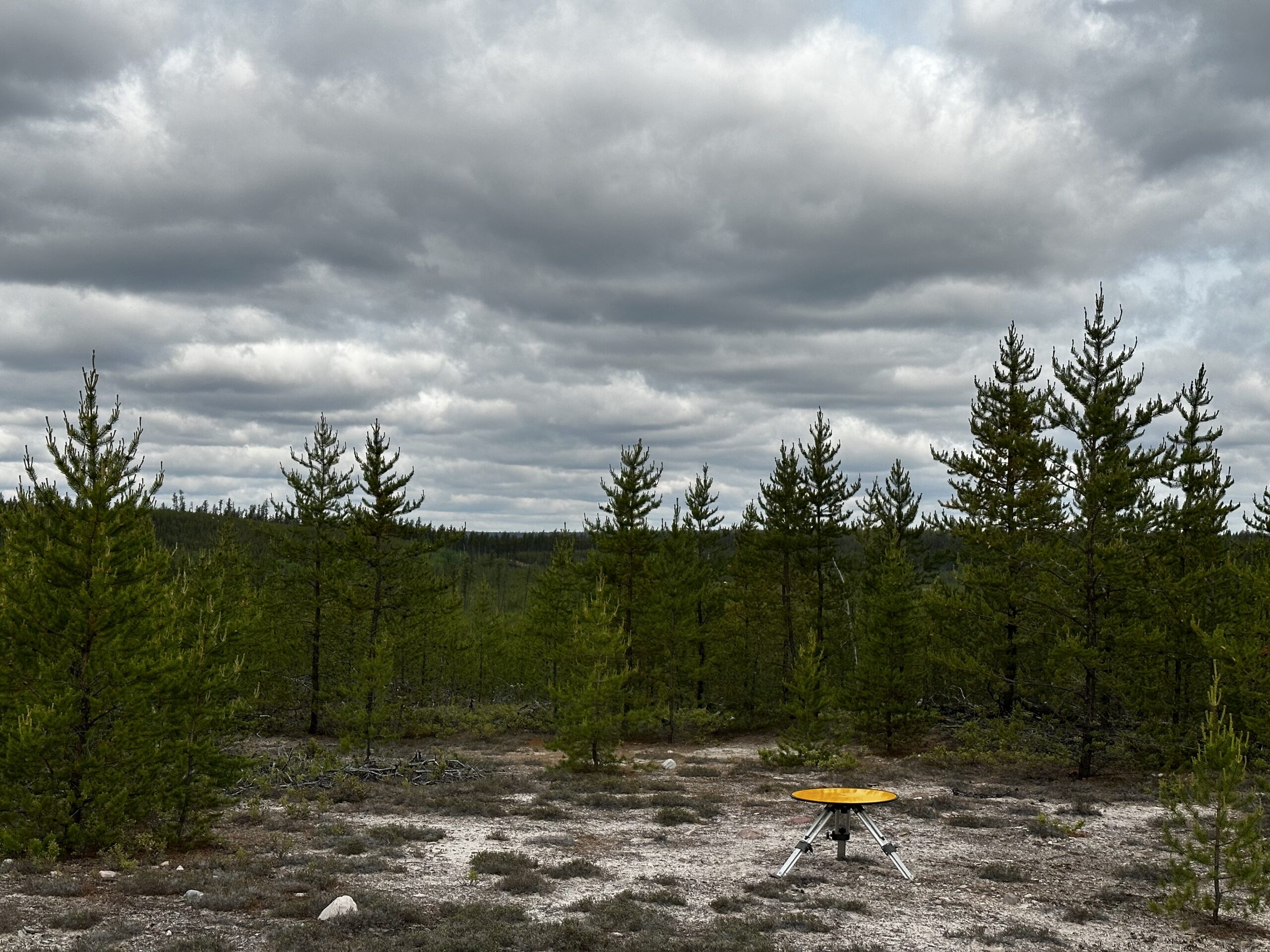
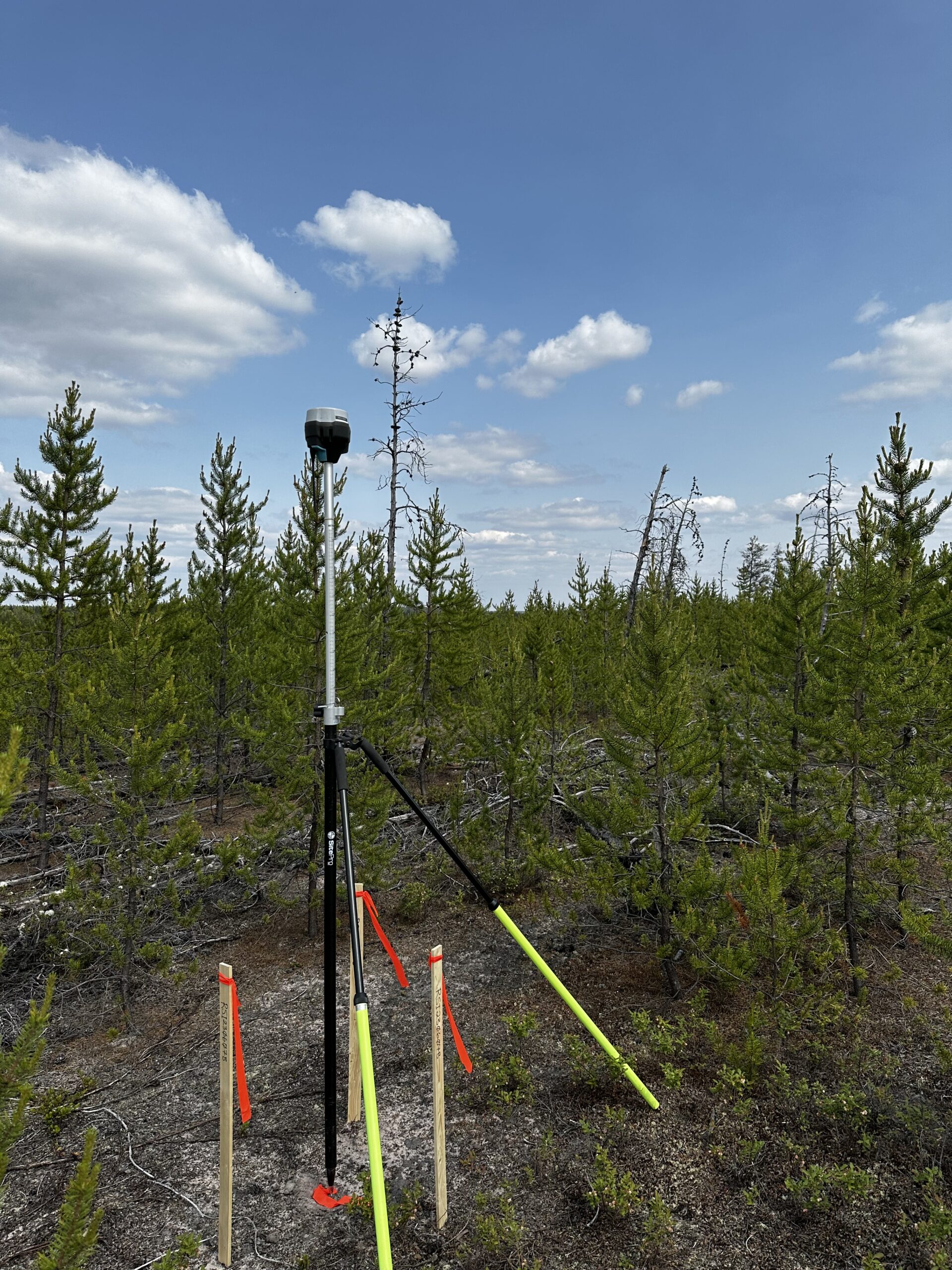
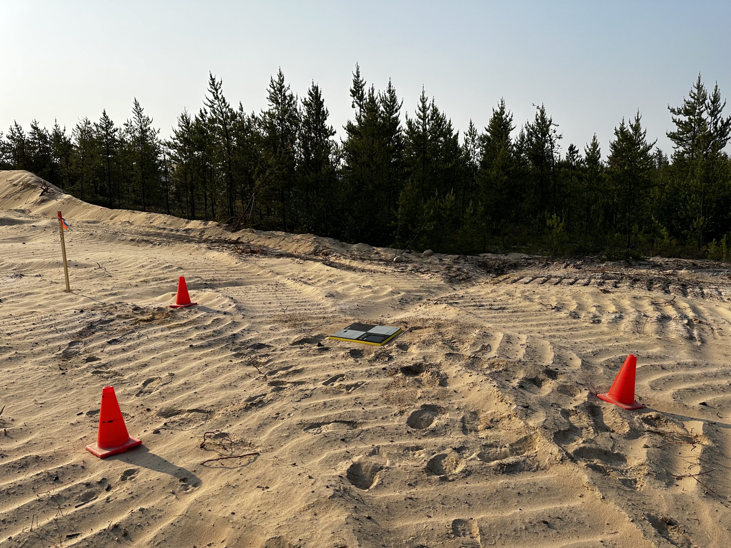
Our LiDAR scans cut through vegetation and rough terrain to provide you bare-earth views and sharp contours. At Rekon, we strongly support mineral and aggregate operations with accurate topography, life-of-mine planning, and regulatory maps so no boots step on risky ground.

See how Rekon transformed its mapping workflows with Propeller—delivering LiDAR and orthomosaic data faster than ever, while giving clients clearer insights and stronger results.