Rekon Solutions – LiDAR Drones
For massive, remote mine sites, drone deployment isn’t always feasible. Rekon partnered with a trusted airborne LiDAR provider to collect elevation data across 1950 hectares—processing everything in-house to deliver seamless, design-ready outputs for feasibility planning.
The client needed high-resolution LiDAR data across an enormous 1950-hectare (19.5 km²) area to inform a mining feasibility study. The terrain was remote and inaccessible, making drone deployment time-consuming and cost-prohibitive.
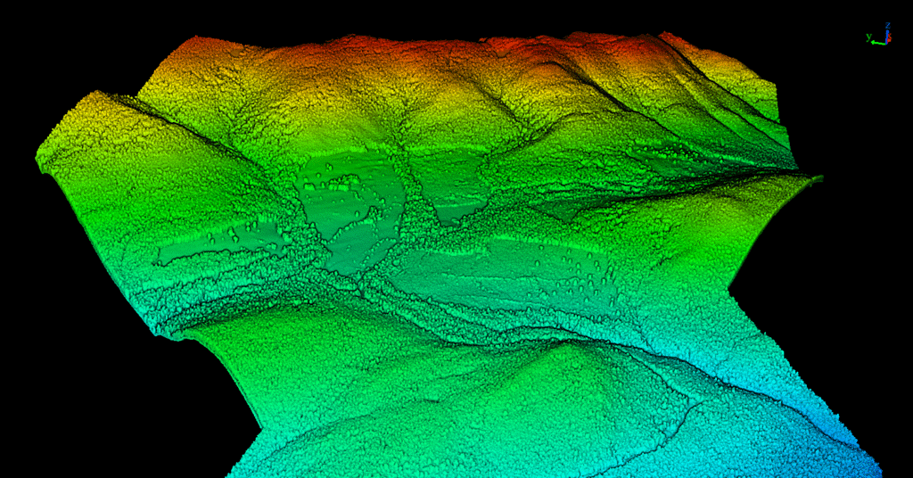
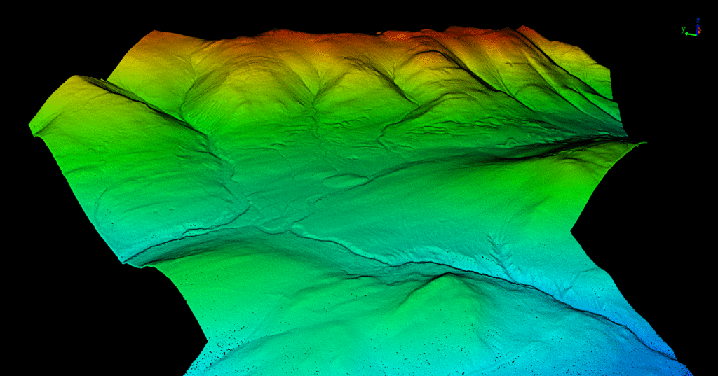
We coordinated a fixed-wing airborne LiDAR mission through a trusted subcontractor, ensuring their collection met our strict accuracy standards. Once collected, Rekon processed the data in-house using our standard workflow to deliver seamless results aligned with our usual drone-based outputs.
Given the remote location and vast coverage area, we quickly determined that drone LiDAR wouldn’t be economical. Instead, we planned for aerial LiDAR from a manned aircraft—ensuring access to every part of the terrain without the limitations of ground-based launch logistics.
From forests to highways, our drone and LiDAR solutions deliver accuracy, speed, and peace of mind. Let’s talk about your project Now.

See how Rekon transformed its mapping workflows with Propeller—delivering LiDAR and orthomosaic data faster than ever, while giving clients clearer insights and stronger results.