Rekon Solutions – LiDAR Drones
Gold exploration often begins with uncertainty, especially in steep, forested terrain. For this project, Rekon deployed drone LiDAR to deliver accurate elevation data that helped the client target gold-bearing zones without unsafe or unwalkable ground surveys.
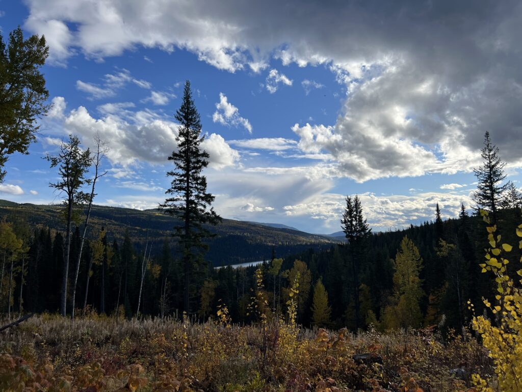
The client needed high-resolution elevation data to identify promising gold deposit areas—but the site was dense with trees, steep, and nearly impossible to survey on foot. Traditional methods couldn’t reach the ground, risking both time and safety.
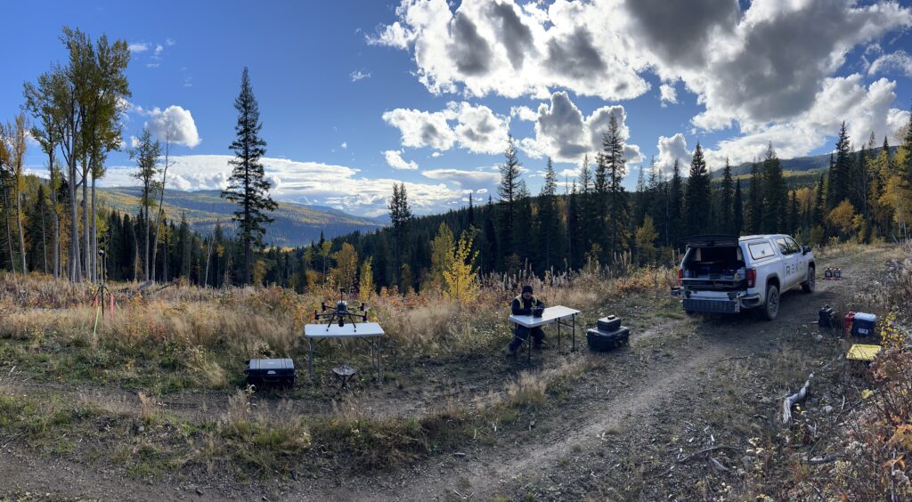
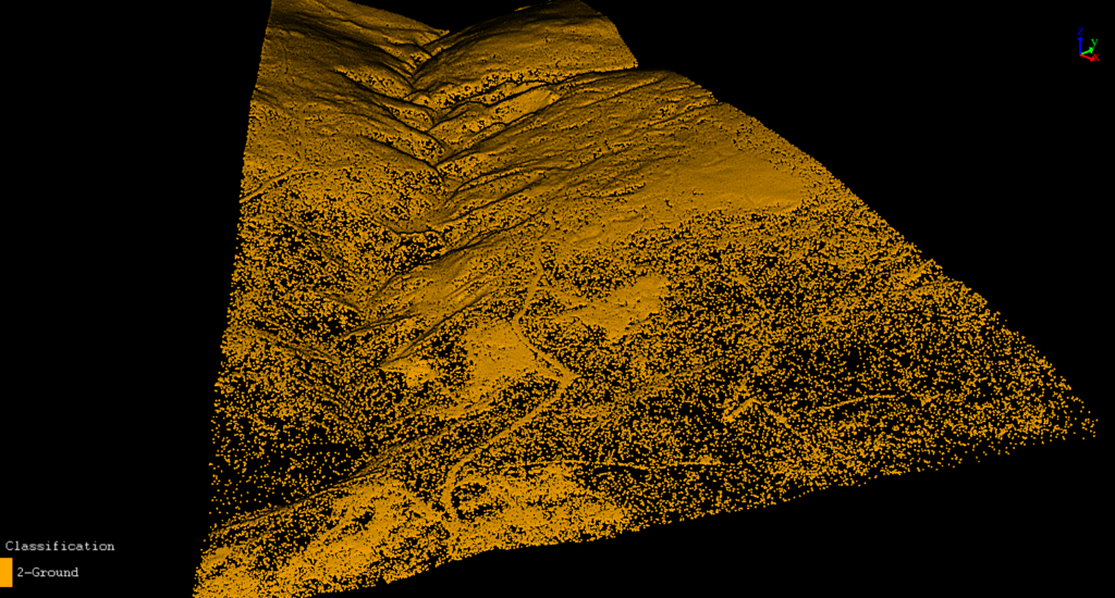
We deployed drone-based LiDAR with a tightly designed flight grid to cut through the canopy and deliver a clear, bare-earth model. Despite launch challenges, fog delays, and difficult terrain, we successfully mapped 506 hectares; offering the client the geotechnical clarity they needed.
After reviewing satellite imagery, we confirmed thick forest and steep slopes across the entire area. This ruled out ground surveys and made LiDAR the only viable option for accurate data capture.

From forests to highways, our drone and LiDAR solutions deliver accuracy, speed, and peace of mind. Let’s talk about your project Now.

See how Rekon transformed its mapping workflows with Propeller—delivering LiDAR and orthomosaic data faster than ever, while giving clients clearer insights and stronger results.