Rekon Solutions – LiDAR Drones
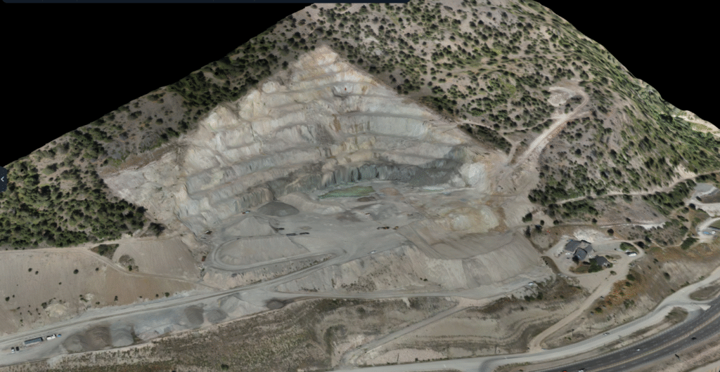
Knowing how much material remains in a mine is critical for planning. LHC needed accurate volume comparisons between current conditions and their mine design.
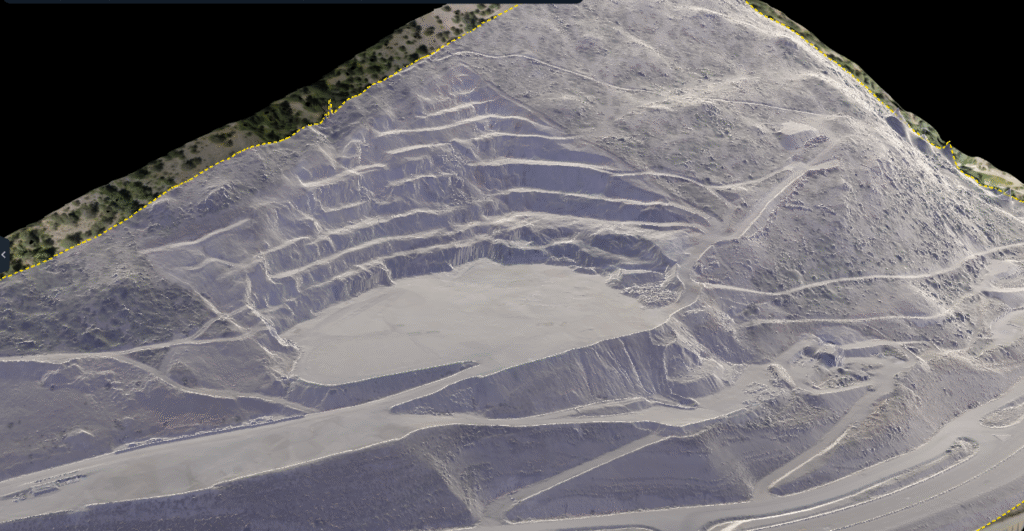
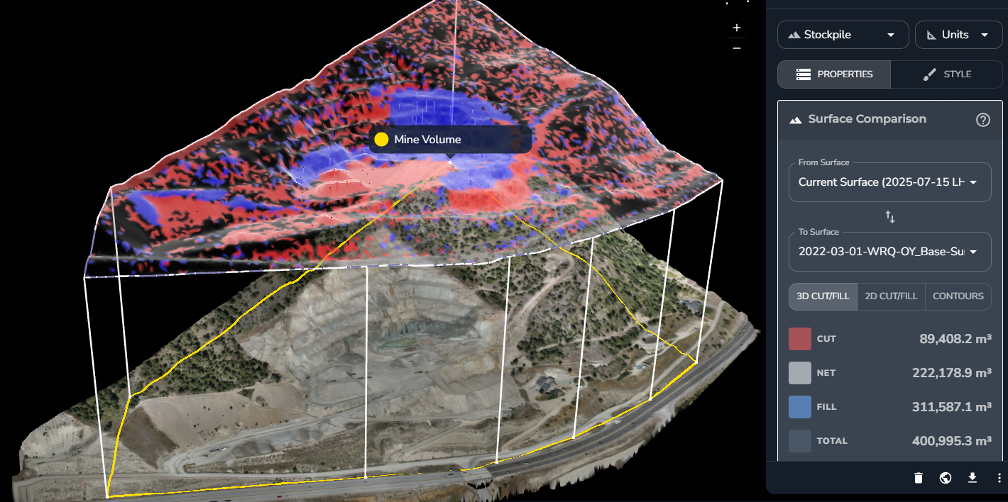
We used drone photogrammetry to map the entire pit, delivering fast, reliable data that helped estimate remaining mine life, without interrupting operations.
With no trees or surface obstructions, the open excavation site was ideal for photogrammetry. We confirmed conditions on the ground and tailored the mission for optimal coverage and accuracy.

From forests to highways, our drone and LiDAR solutions deliver accuracy, speed, and peace of mind. Let’s talk about your project Now.

This e-book explores the critical constraints shaping drone LiDAR, such as payload weight vs. performance, limited flight time, high costs, and regulatory issues.