Rekon Solutions – LiDAR Drones
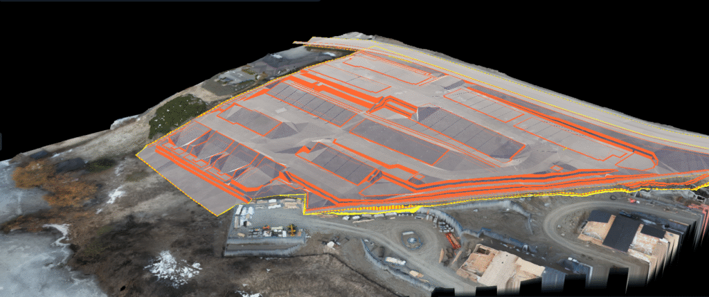
In competitive bidding environments, even small errors in estimating earthwork volumes can make or break a deal. Rekon helped (The Client) secure a development project by delivering precise cut and fill measurements using drone photogrammetry.
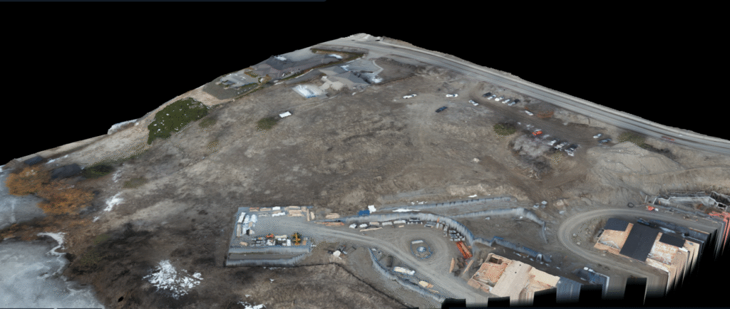
To win a property development bid, the client needed to know exactly how much material had to be moved. With tight timelines and margin-sensitive pricing, guesswork wasn’t an option.
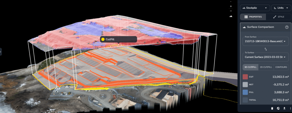
We used drone photogrammetry to deliver a fast, clear measurement of cut and fill volumes that helped DirtPro bid with confidence and win.
We assessed vegetation coverage and confirmed that while some areas were brush-covered, the client was comfortable with photogrammetry as the preferred method. This allowed us to move quickly with a lightweight setup and minimal disruption.
From forests to highways, our drone and LiDAR solutions deliver accuracy, speed, and peace of mind. Let’s talk about your project Now.
This e-book explores the critical constraints shaping drone LiDAR, such as payload weight vs. performance, limited flight time, high costs, and regulatory issues.