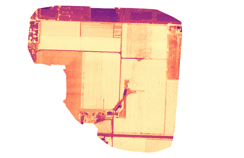
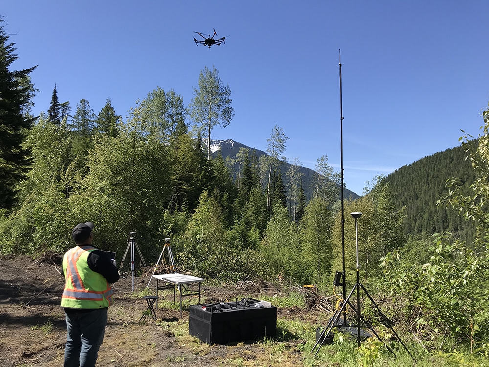
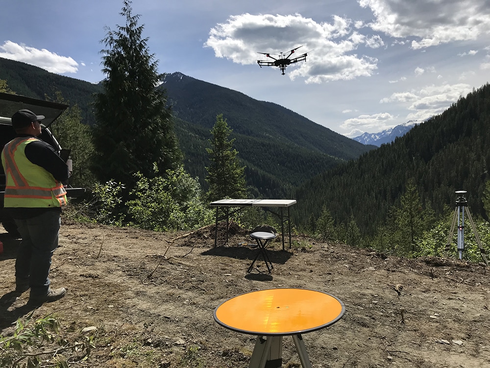
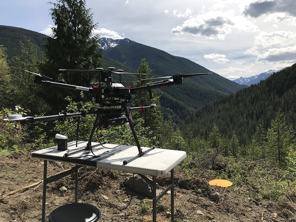
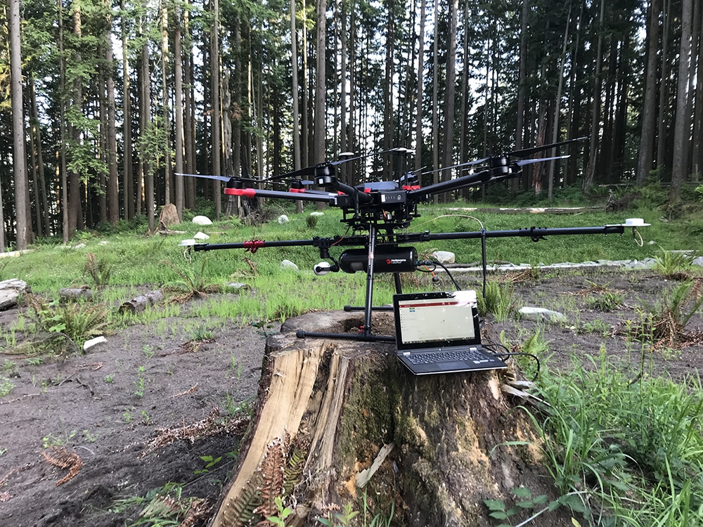
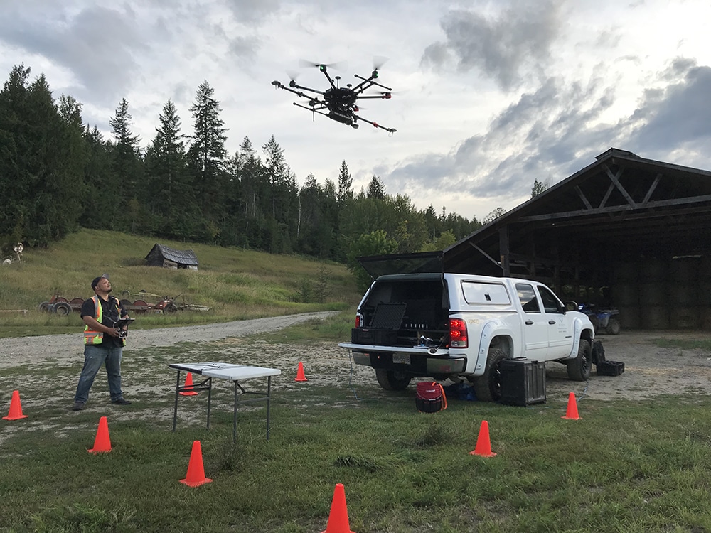
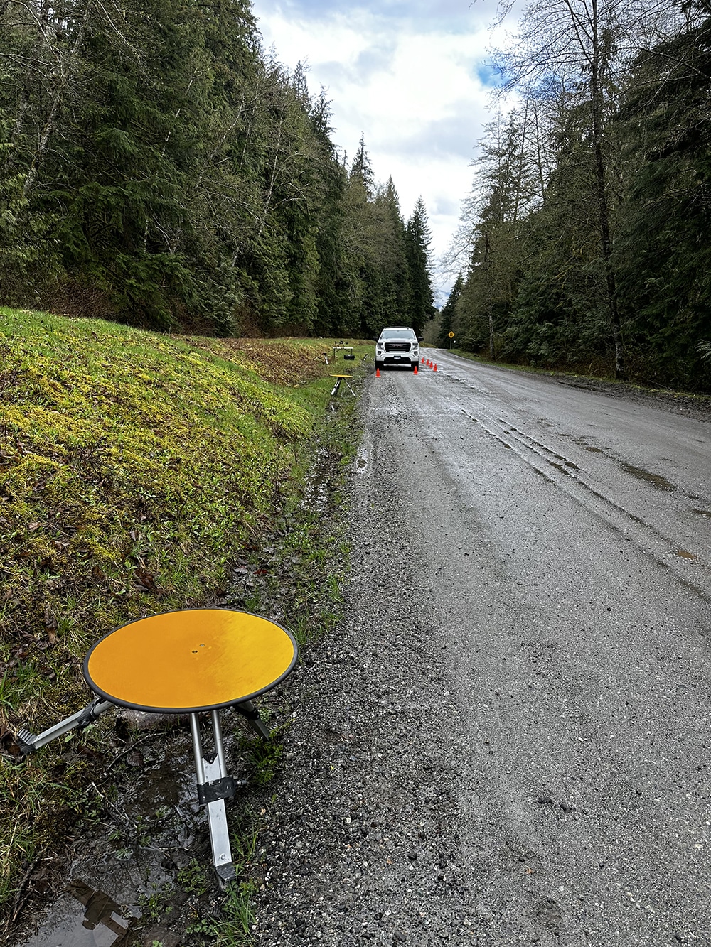
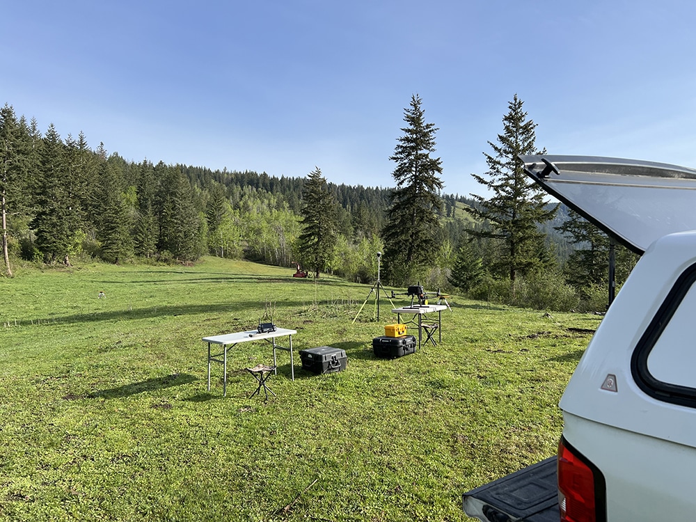
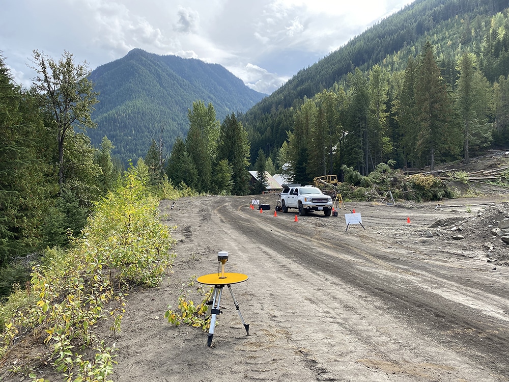
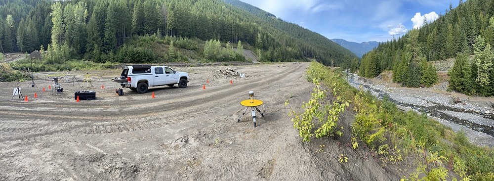
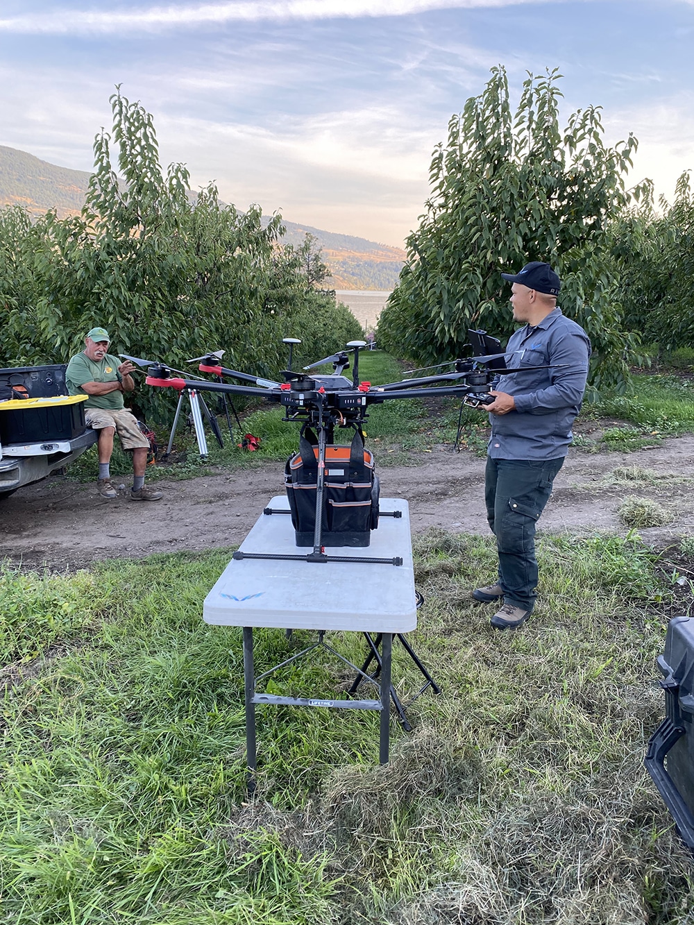
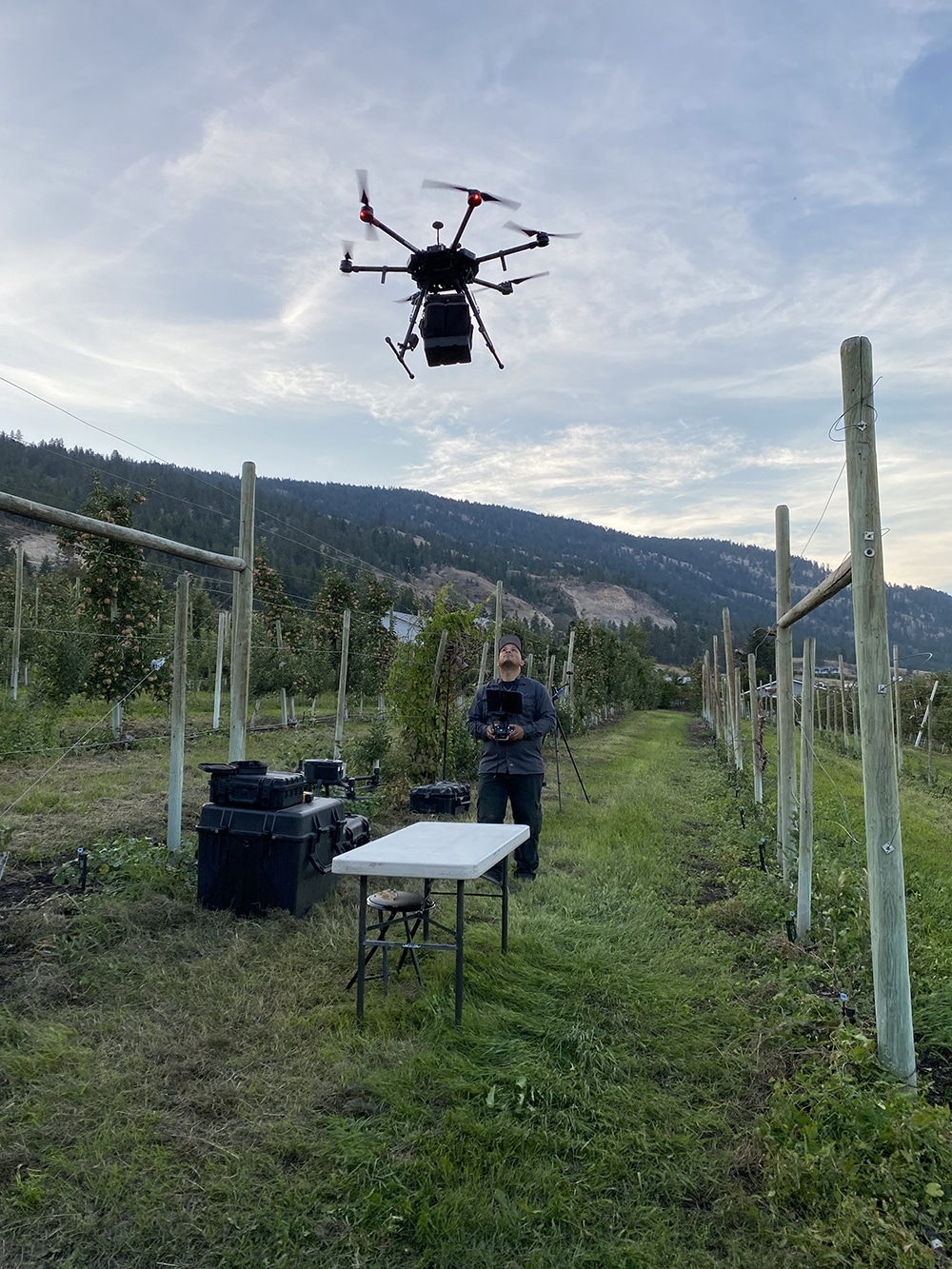
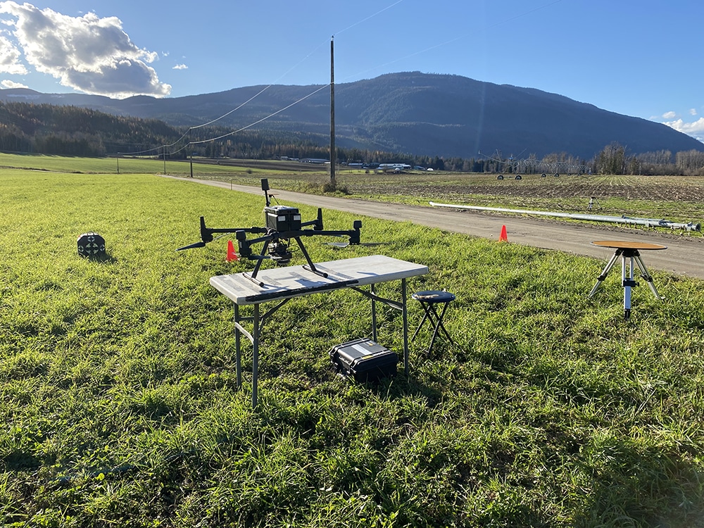
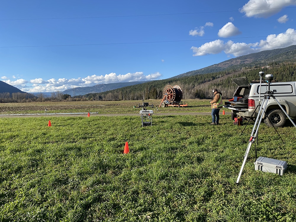
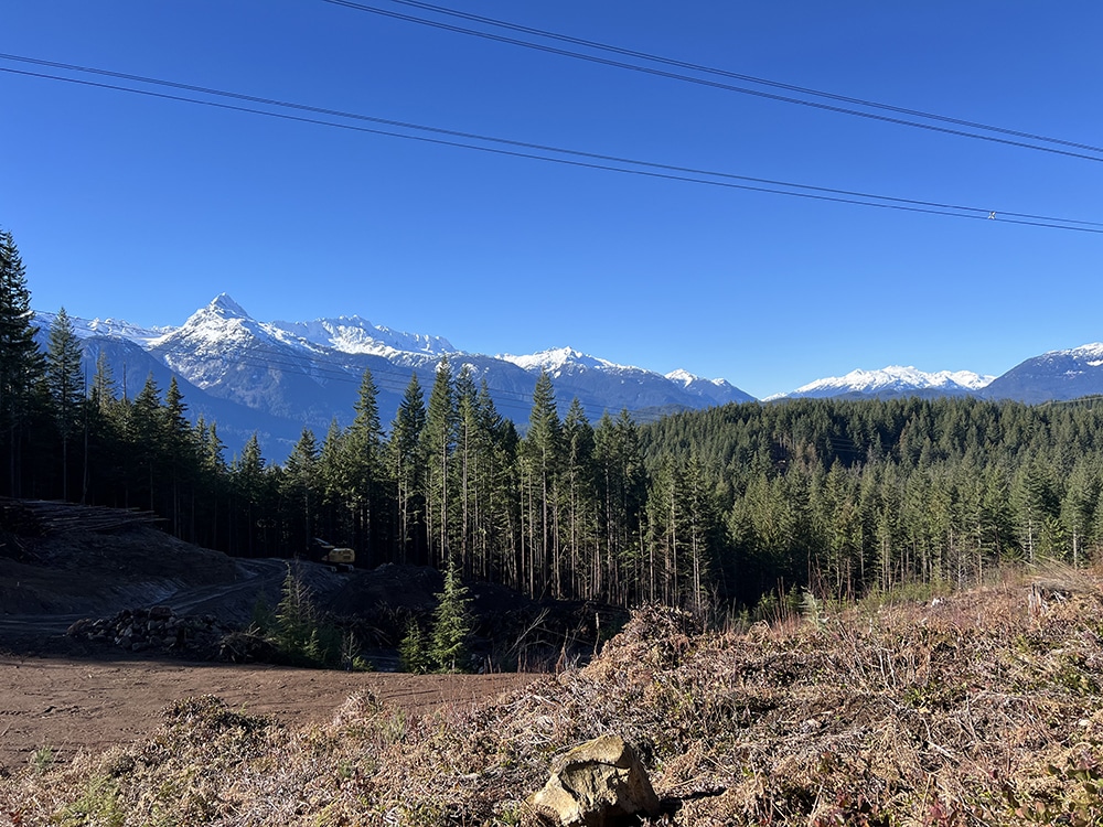
From crop planning to forest management, Rekon’s RPAS LiDAR reveals slope, runoff paths, and canopy structure with unmatched accuracy.
Clarity Under the Canopy
We show what’s beneath dense forest or farmland, so you can plan better, manage risks, and respond to land changes with certainty.
