Rekon Solutions – LiDAR Drones

Rekon Solutions – LiDAR Drones
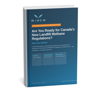
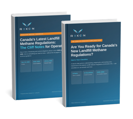
A step-by-step guide to understanding, preparing for, and meeting every requirement of the federal Landfill Methane Regulations.
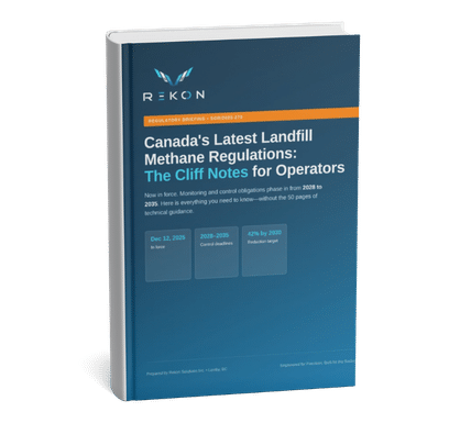
Now in force. Monitoring and control obligations phase in from 2028 to 2035. Here is everything you need to know—without the 50 pages of technical guidance.

Discover how a breakthrough in 3D reconstruction turns ordinary drone imagery into living, explorable models.

Discover what SLAM LiDAR is and how it can transform your jobsite. Learn how Simultaneous Localization and Mapping technology enables accurate, GPS-independent data capture in the world’s toughest mining, construction, and industrial environments.

See how Rekon transformed its mapping workflows with Propeller—delivering LiDAR and orthomosaic data faster than ever, while giving clients clearer insights and stronger results.
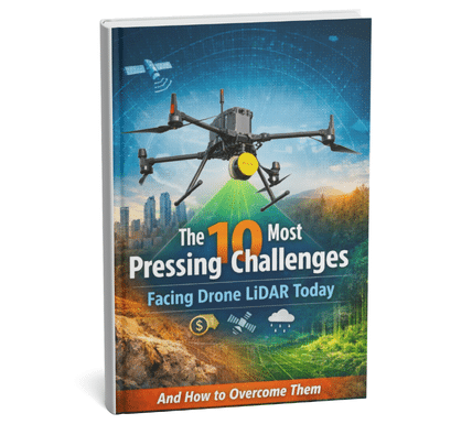
This document is an e-book that explores the critical constraints shaping drone LiDAR, such as payload weight vs. performance, limited flight time, high costs, and regulatory issues. It details ten key challenges, including GNSS and IMU dependency, vegetation penetration limits, and data volume and processing complexity.

Discover how LiDAR and drone data deliver unmatched accuracy, reduce risk, cut costs, and support more sustainable mining practices. Perfect for mining professionals seeking actionable insights that boost safety, efficiency, and long-term performance.