Why Canada Just Introduced Its First National Landfill Methane Rules (And What They Mean for Operators)
For the first time, Canada has a national standard for controlling methane emissions from its…
Rekon Solutions – LiDAR Drones
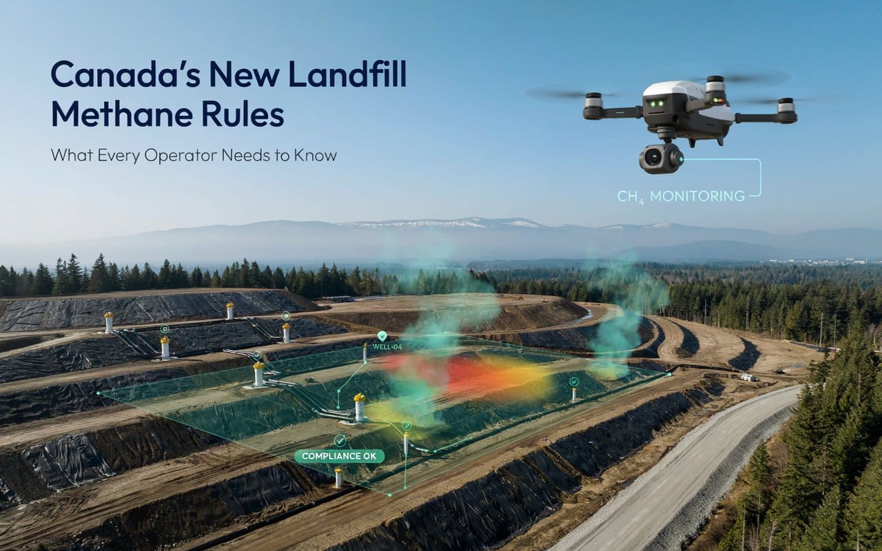
For the first time, Canada has a national standard for controlling methane emissions from its…
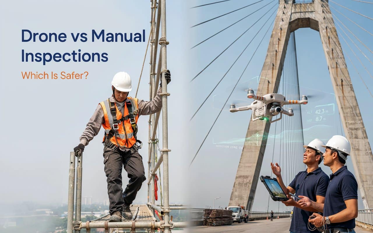
Ask anyone who has climbed a bridge pier in the rain and the drones vs…
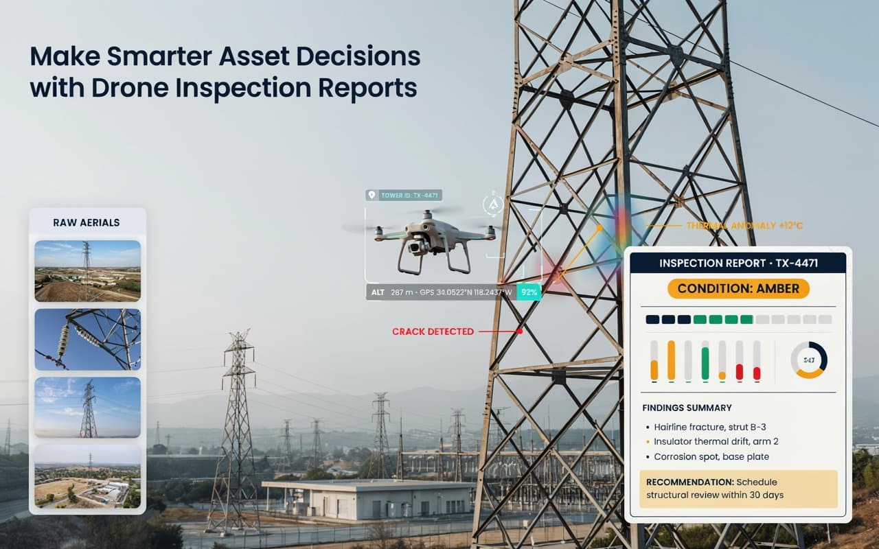
A folder full of drone photos is not the same as an answer. Strong drone…
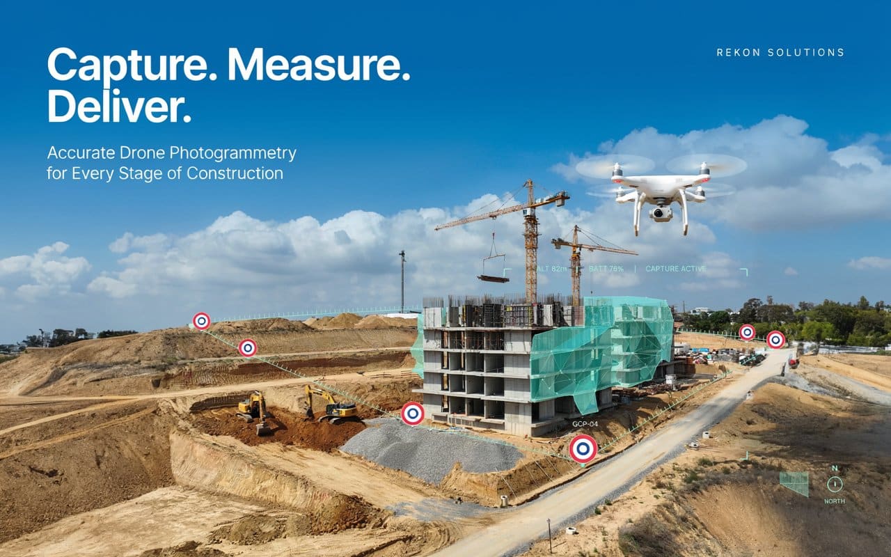
Drone photogrammetry construction work can save you weeks, or it can hand you a model…
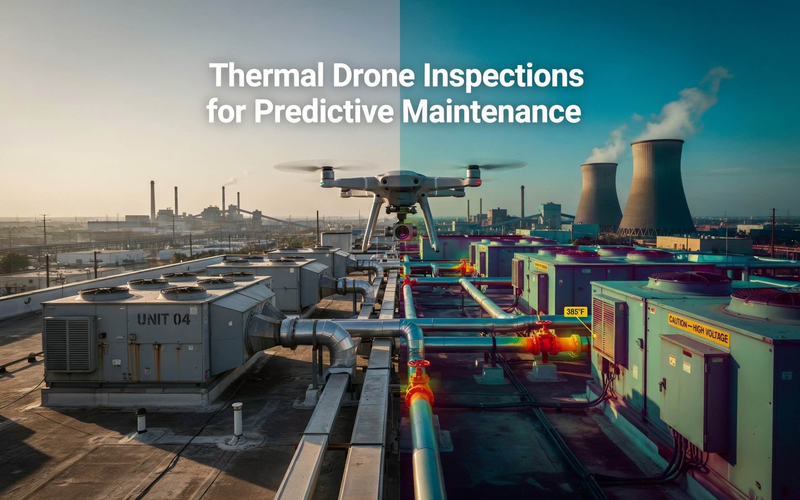
Imagine your industrial facility’s HVAC system suddenly failing during a heatwave, causing major downtime and…
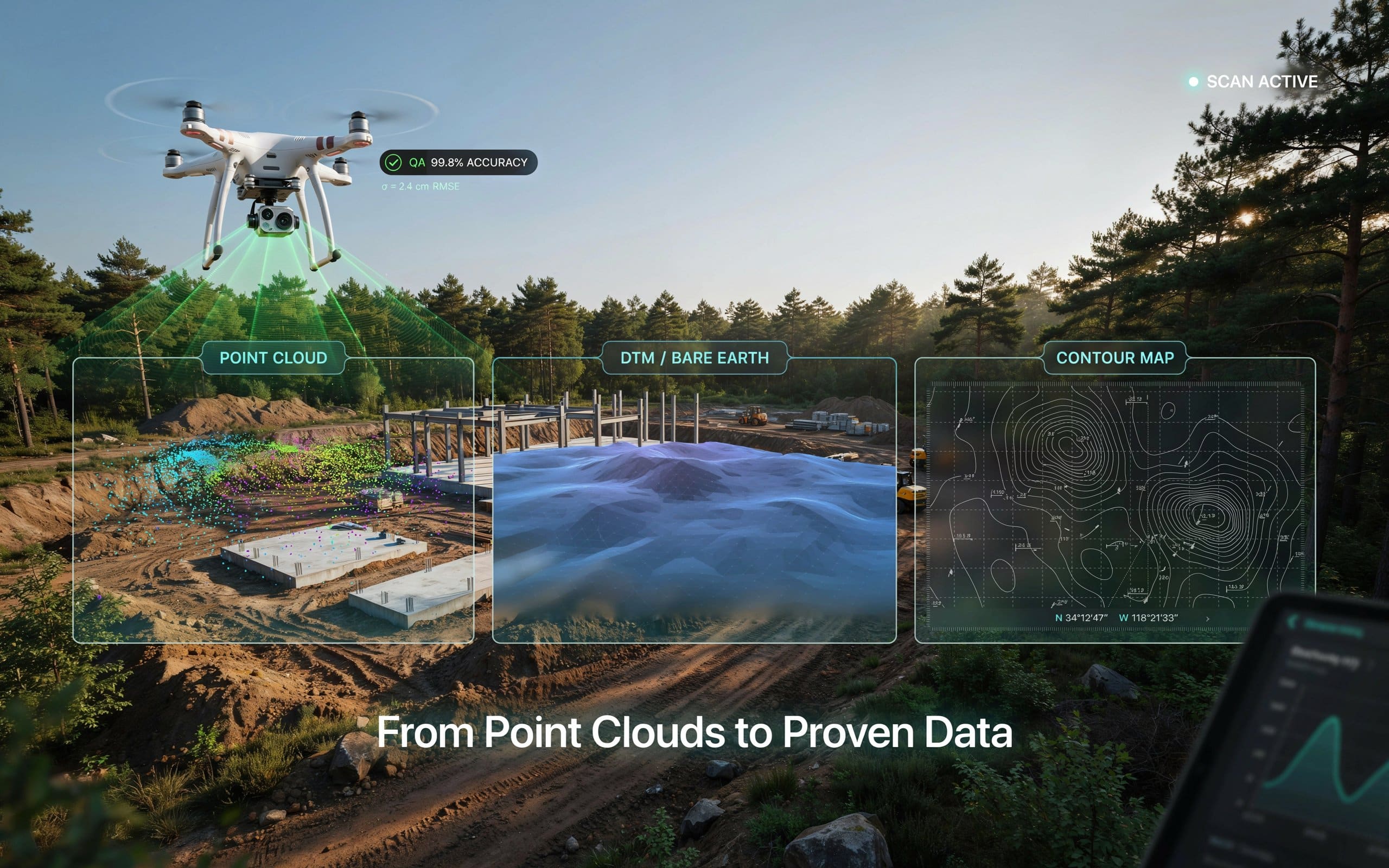
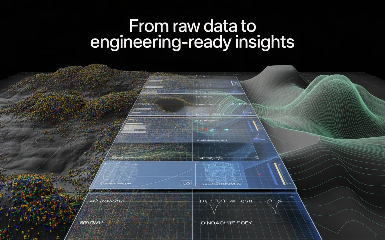
When you order a LiDAR survey, what should actually land in your inbox? Understanding your…
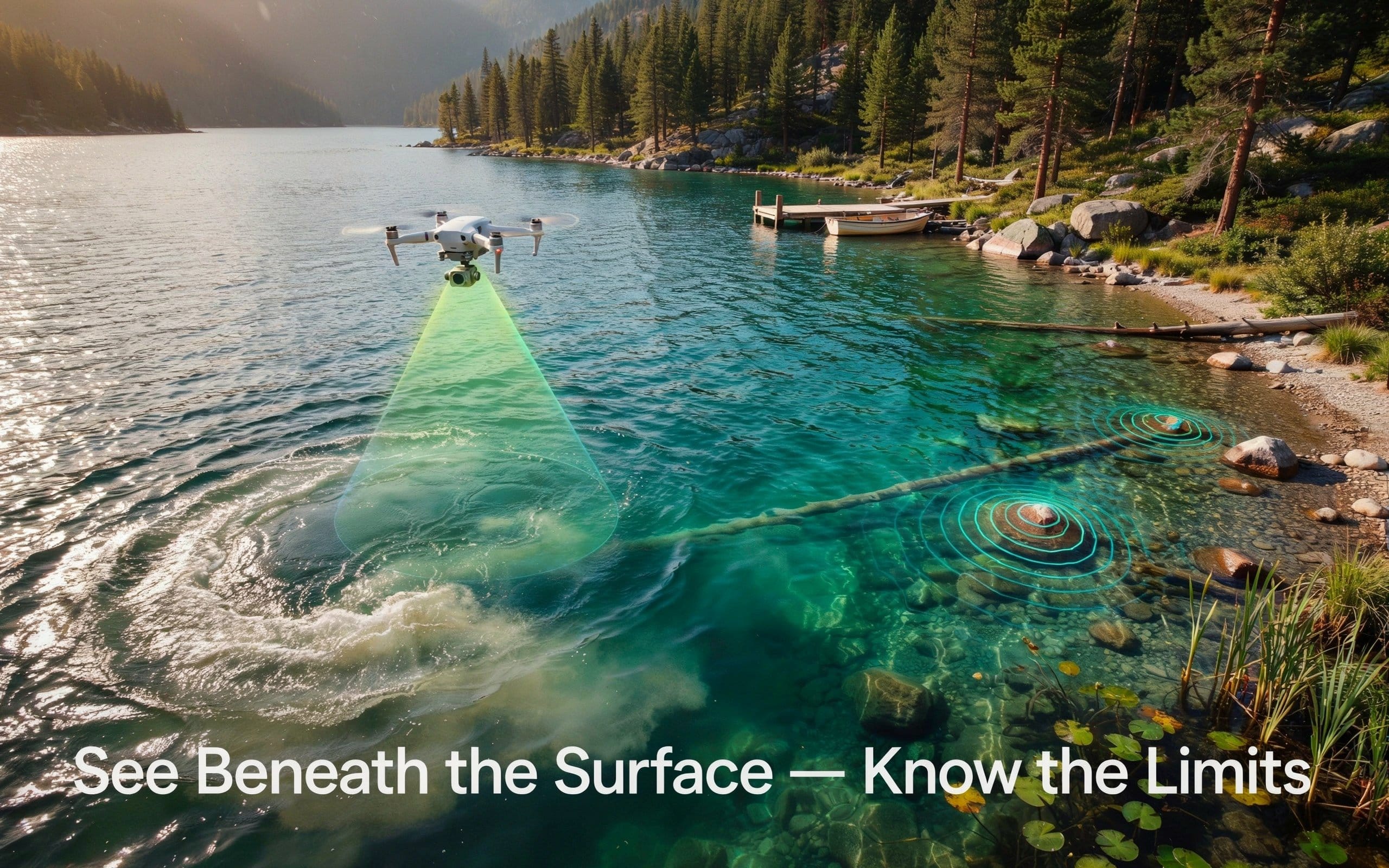
Mapping the bottom of a river or lake once meant a boat, a sonar unit,…
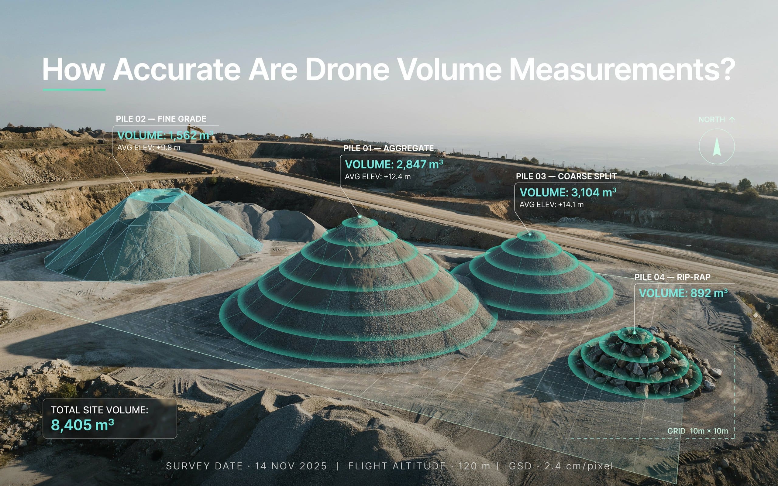
If you have ever doubted a stockpile number, you are not alone. Drone volume measurement…
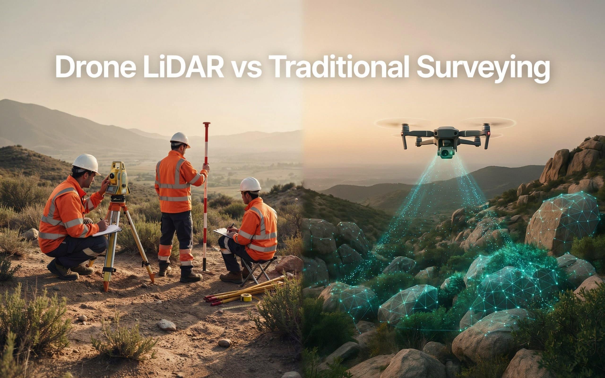
Picking between drone lidar vs traditional surveying can be tricky. And the wrong choice can…

Surveying has always been about gathering accurate information. The challenge is that collecting that information…
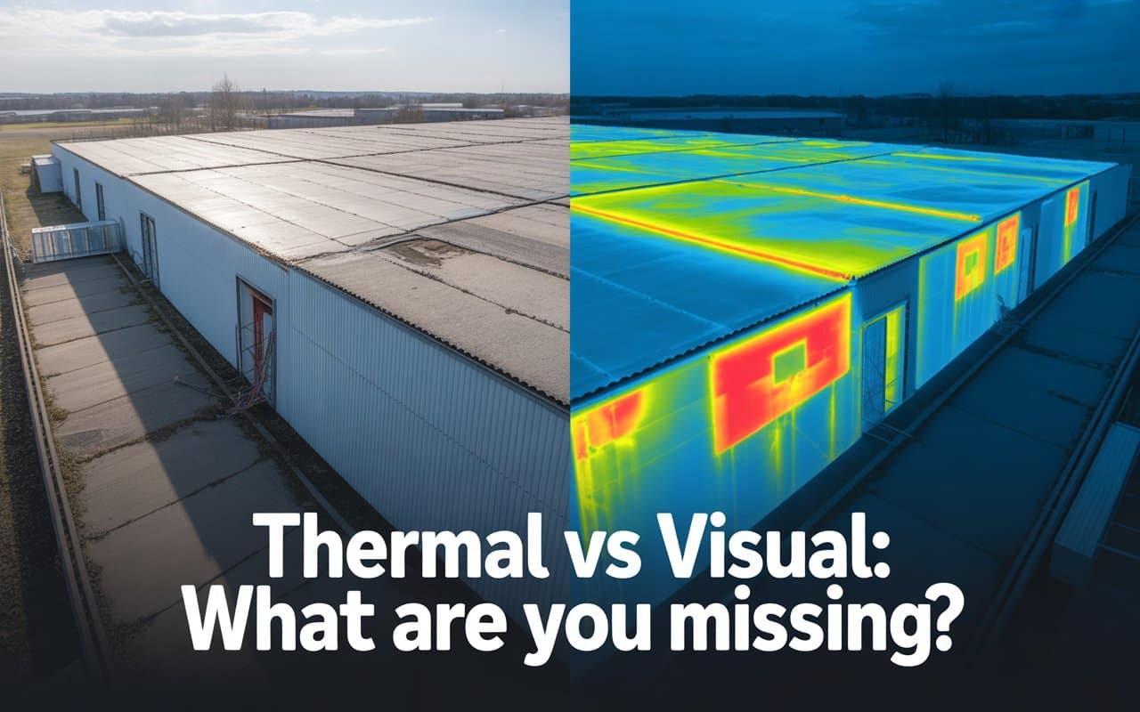
Many inspection programs rely heavily on what can be seen with the human eye. Cracks,…

Drone inspection accuracy is the foundation of good decisions in inspection and infrastructure projects. Whether…
Many teams assume LiDAR quality depends only on the drone or sensor being used. In…


