Drone Inspections vs Manual Inspections: Which Is Safer?
Ask anyone who has climbed a bridge pier in the rain and the drones vs…
Rekon Solutions – LiDAR Drones
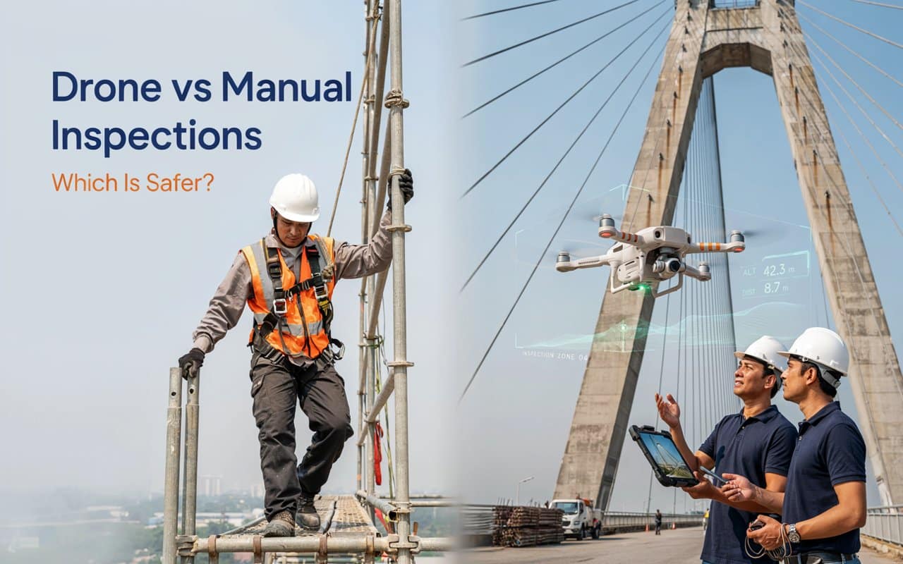
Ask anyone who has climbed a bridge pier in the rain and the drones vs…
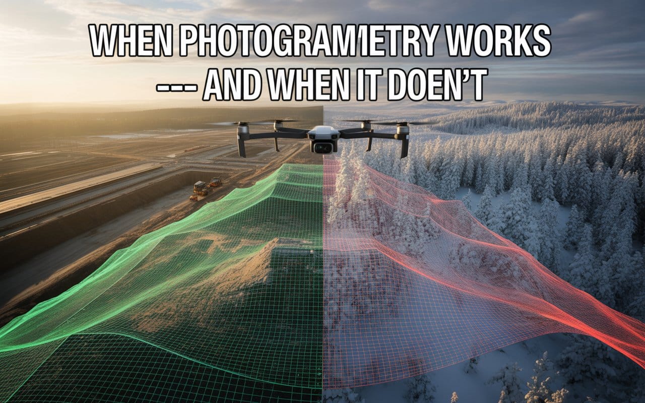
Choosing the wrong mapping method can quietly affect your entire project. Many teams adopt drone…
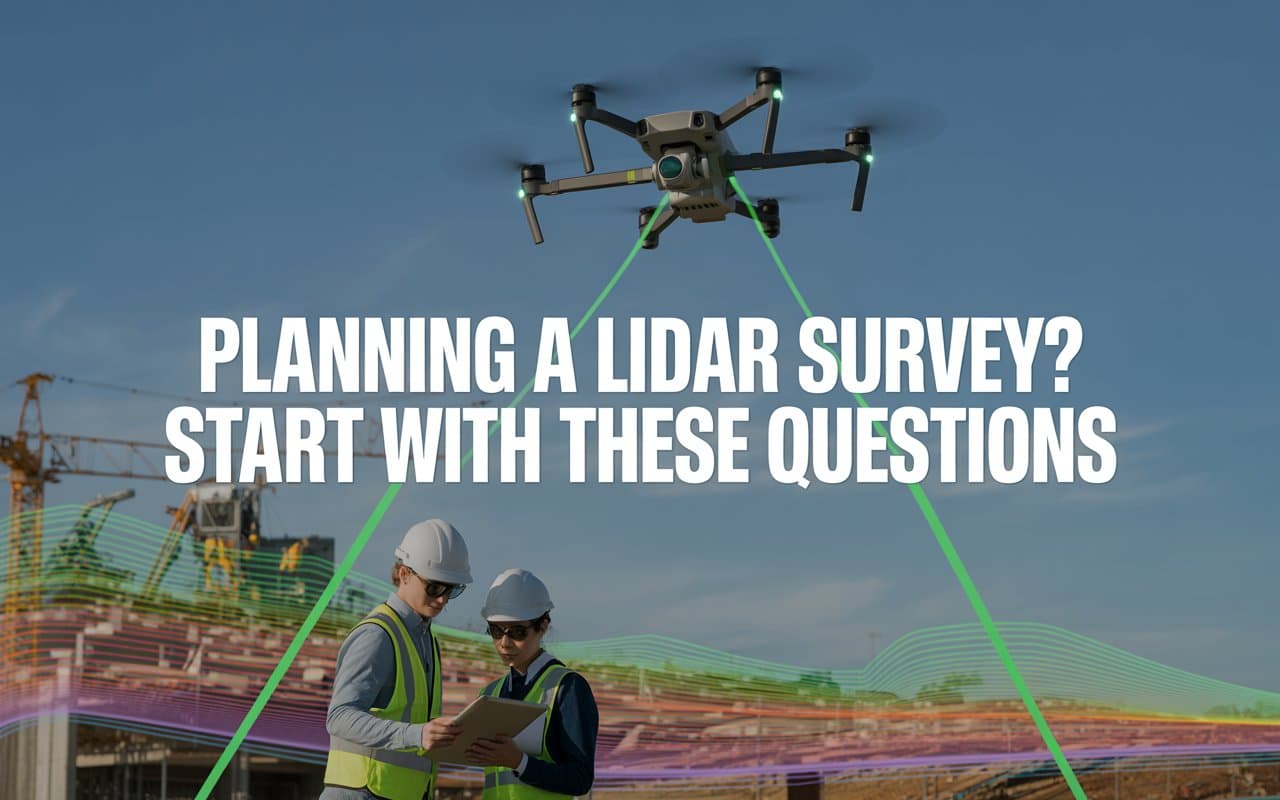
Hiring the wrong survey provider can create delays, inaccurate data, and unexpected project costs. Many…
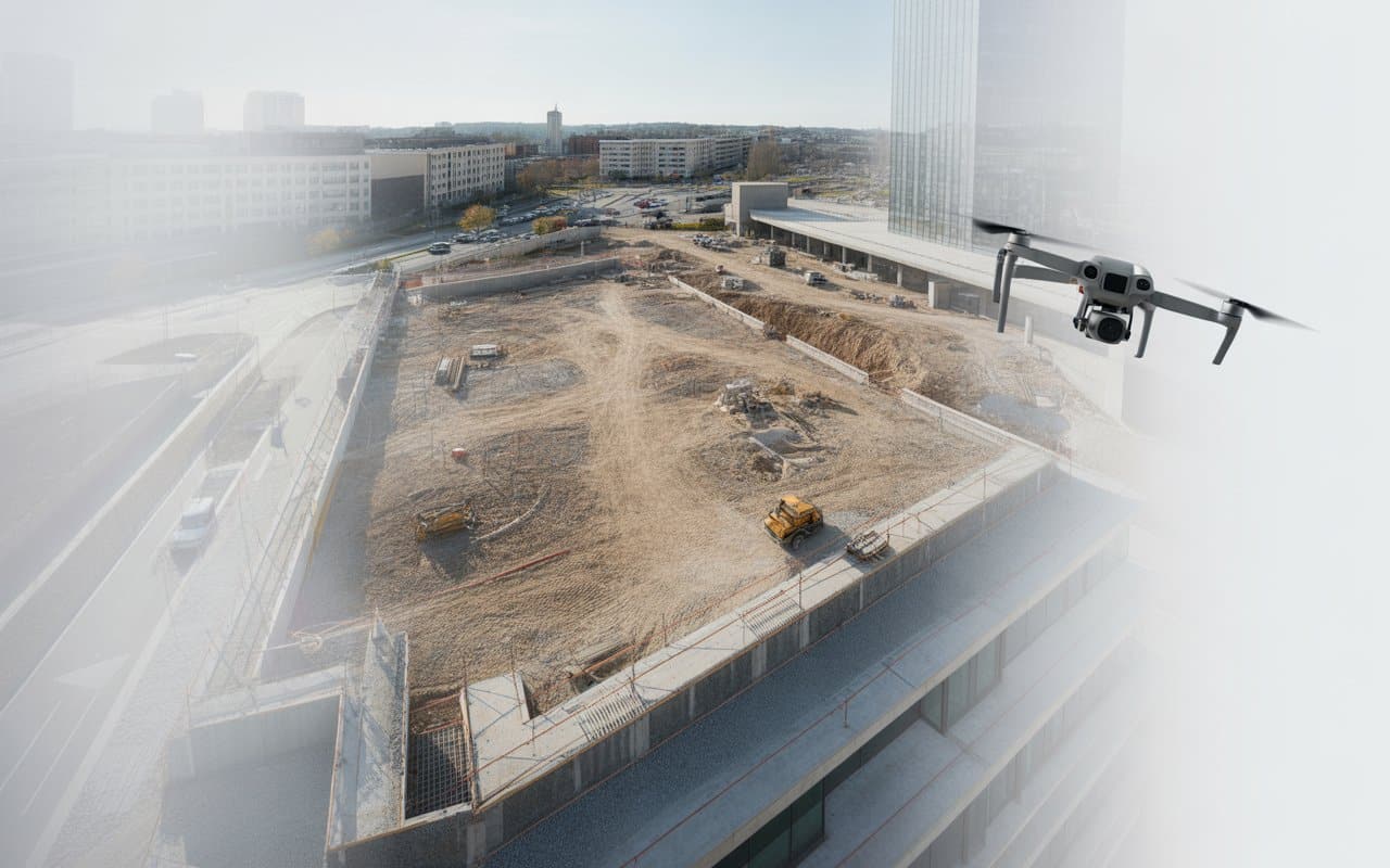
Imagine you’ve spent months, if not years, planning a construction project, only to have it…
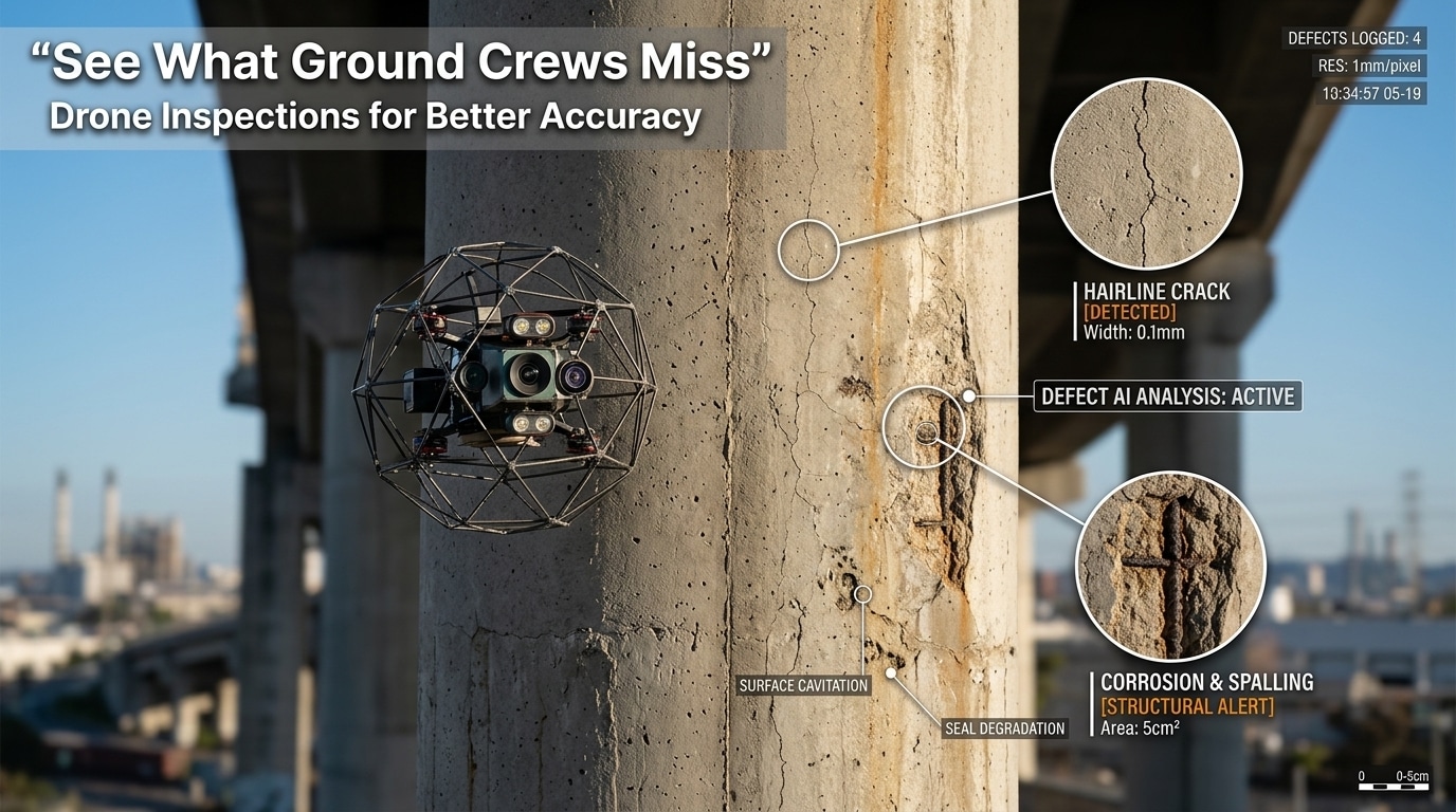
Inspections are critical for keeping assets safe, reliable, and compliant. However, many issues go unnoticed…

When it comes to mapping and surveying, precision is paramount. Traditional methods have been relied…
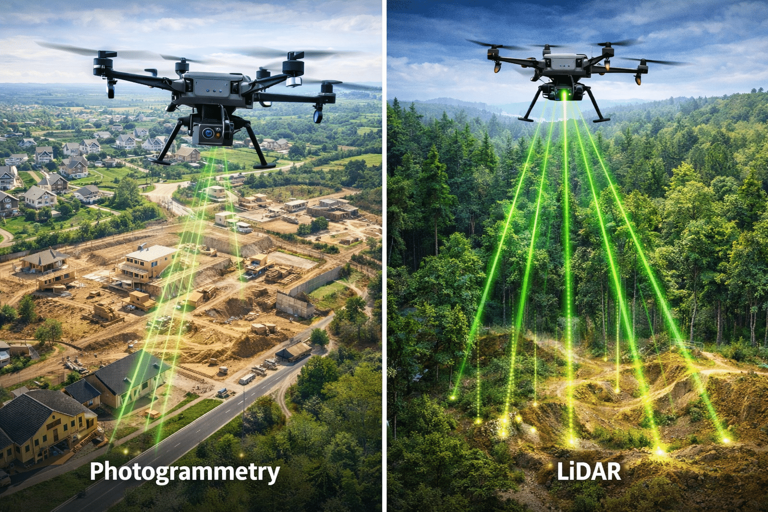
Choosing the right mapping technology can shape the success of your project. Whether you are…
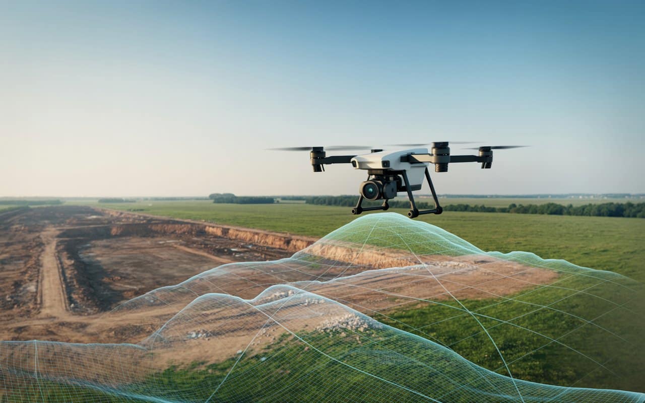
Have you ever wondered how land surveys are done so quickly and accurately? The secret…
Have you ever wondered which technology works best for your aerial survey? In the world…

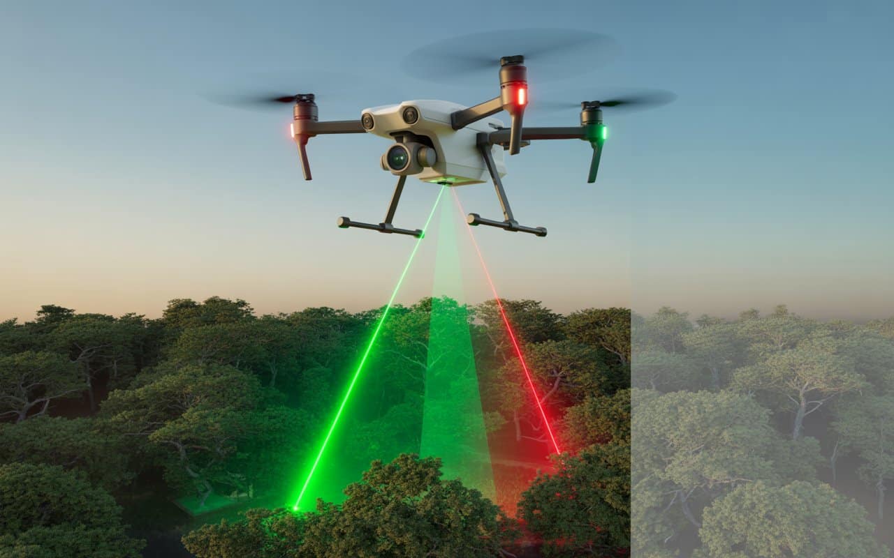
Have you ever wondered how LiDAR mapping can reveal hidden details that traditional mapping methods…
