LiDAR: The Game-Changer for Topographic Accuracy
Imagine you’re tasked with creating a highly detailed topographic map of a rugged landscape. If…
Rekon Solutions – LiDAR Drones
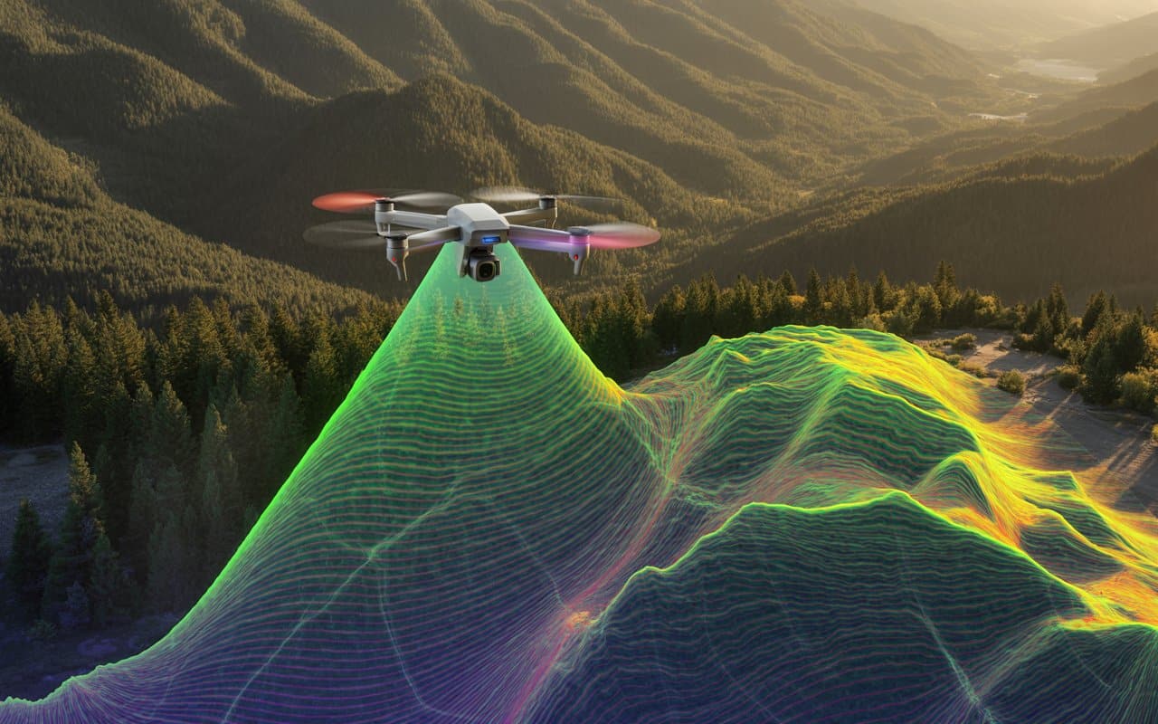
Imagine you’re tasked with creating a highly detailed topographic map of a rugged landscape. If…

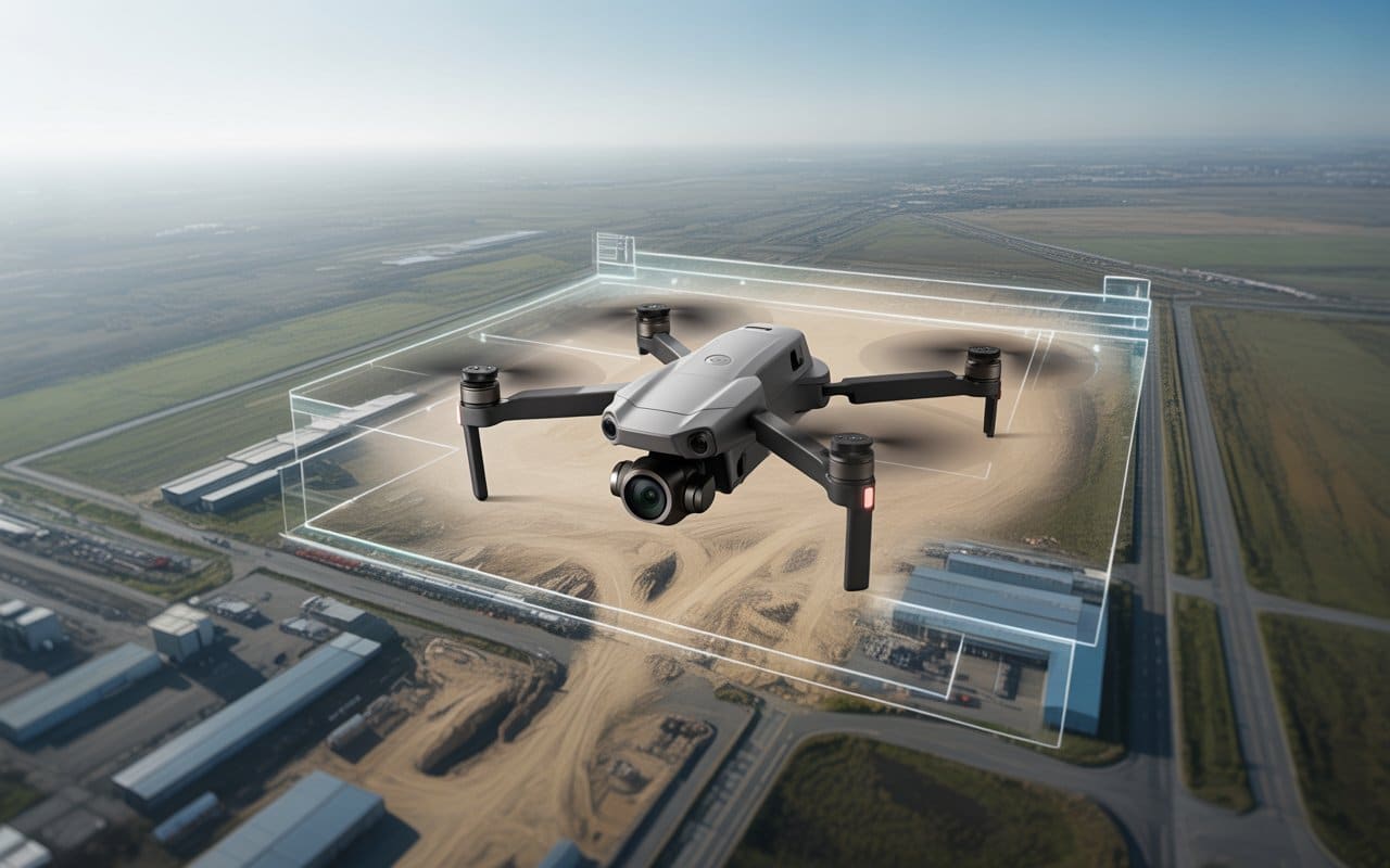
Across industries, inspection services are becoming more challenging every year. Assets are aging, sites are…
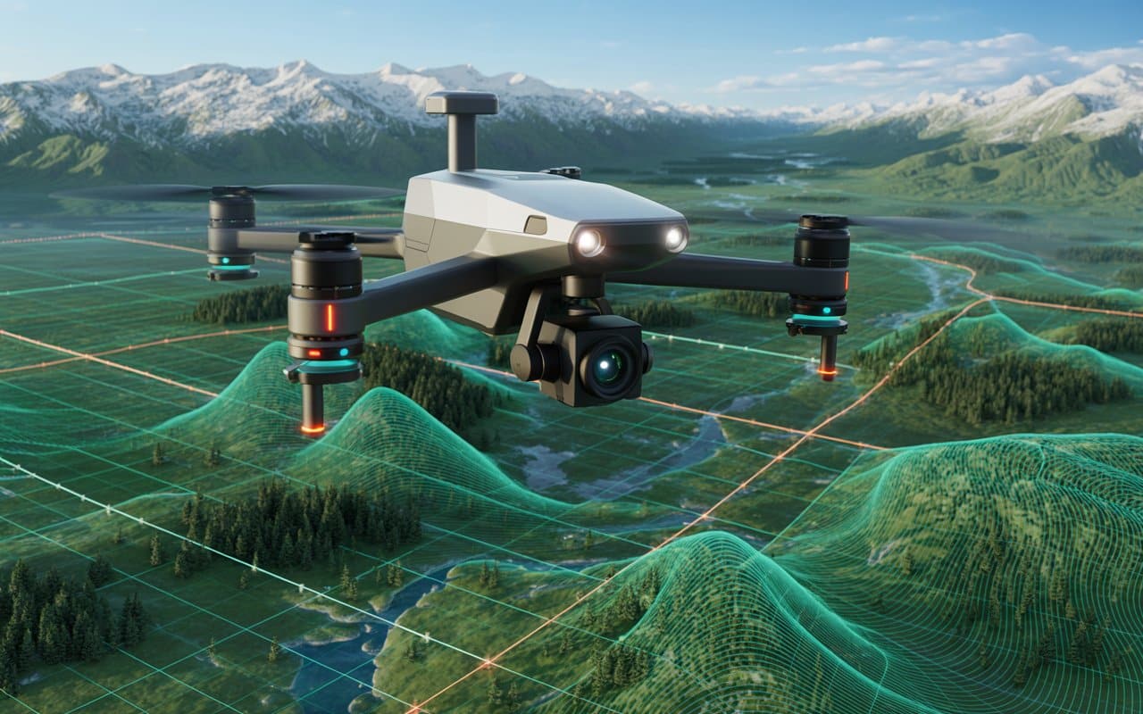
Across industries, visual data is becoming critical for smarter decision making. Projects are expanding. Environments…
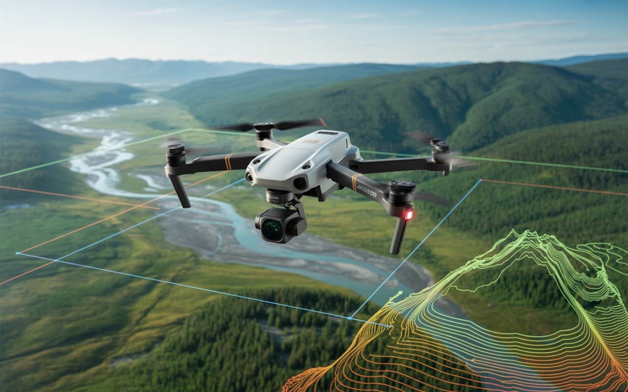
In British Columbia, land surveying is essential. But it’s not always easy. Because the landscape…
In the world of modern surveying, Drone LiDAR for surveying has become a game-changer. These…
