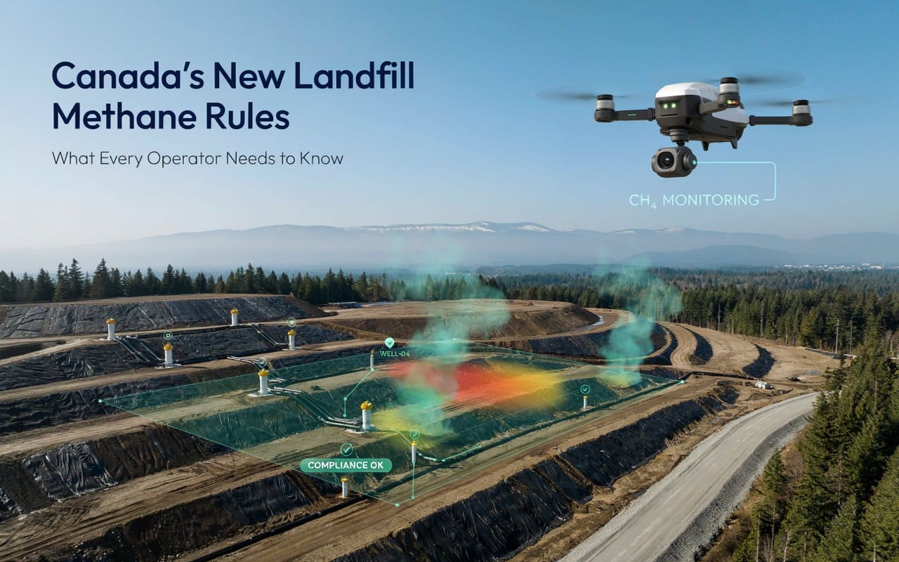
Why Canada Just Introduced Its First National Landfill Methane Rules (And What They Mean for Operators)
For the first time, Canada has a national standard for controlling methane emissions from its…
Rekon Solutions – LiDAR Drones
For the first time, Canada has a national standard for controlling methane emissions from its…
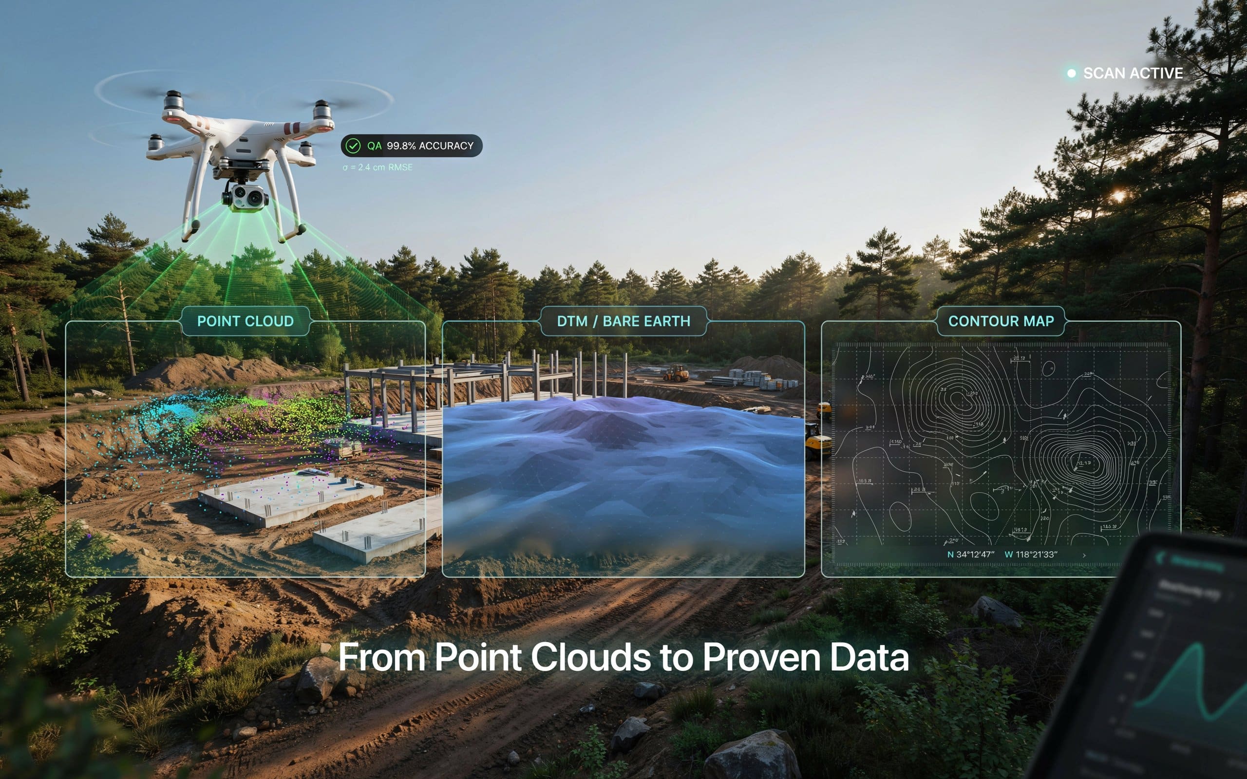
When you order a LiDAR survey, what should actually land in your inbox? Understanding your…
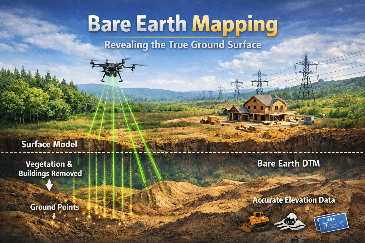
Many teams assume LiDAR quality depends only on the drone or sensor being used. In…
Many teams invest in drone LiDAR services for mapping without fully understanding what they are…
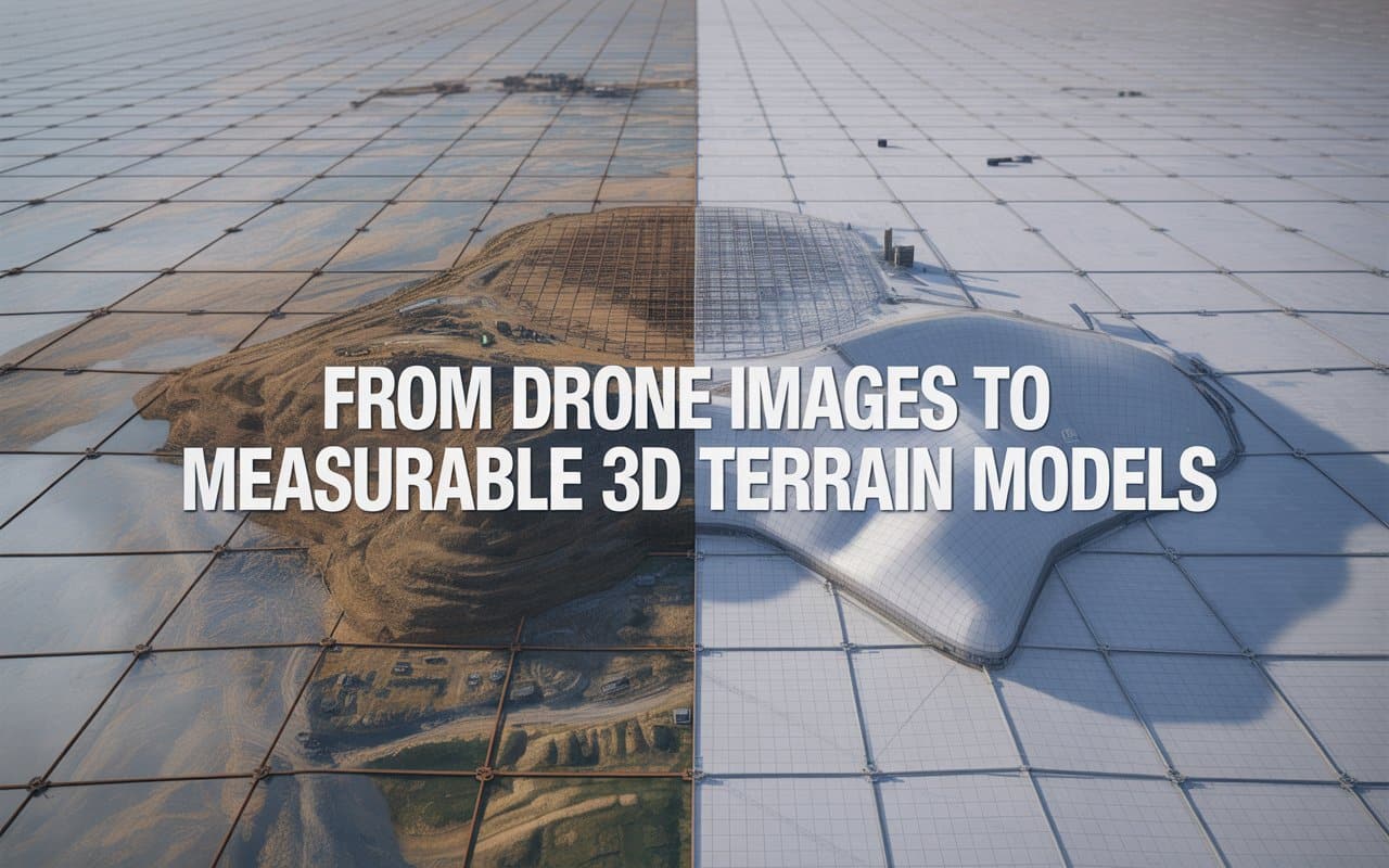
Project teams today need more than simple aerial photos. They need accurate measurements, terrain insights,…
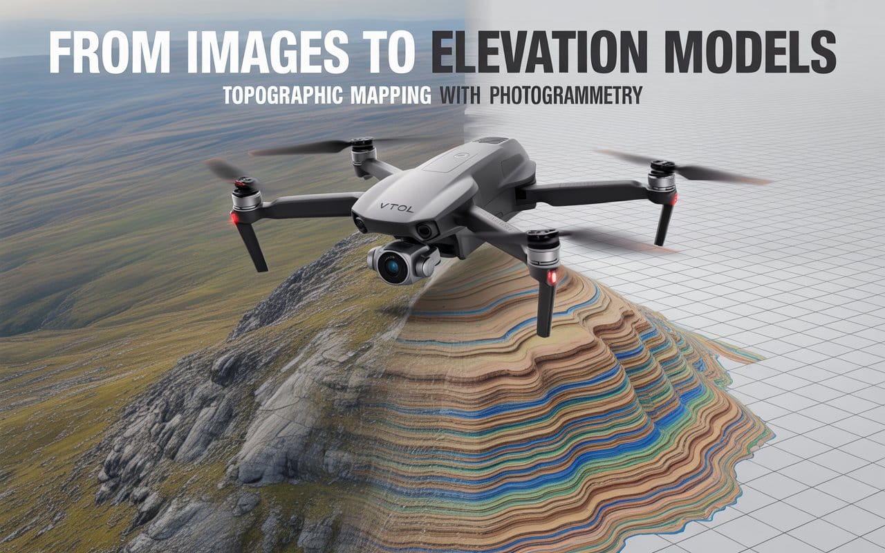
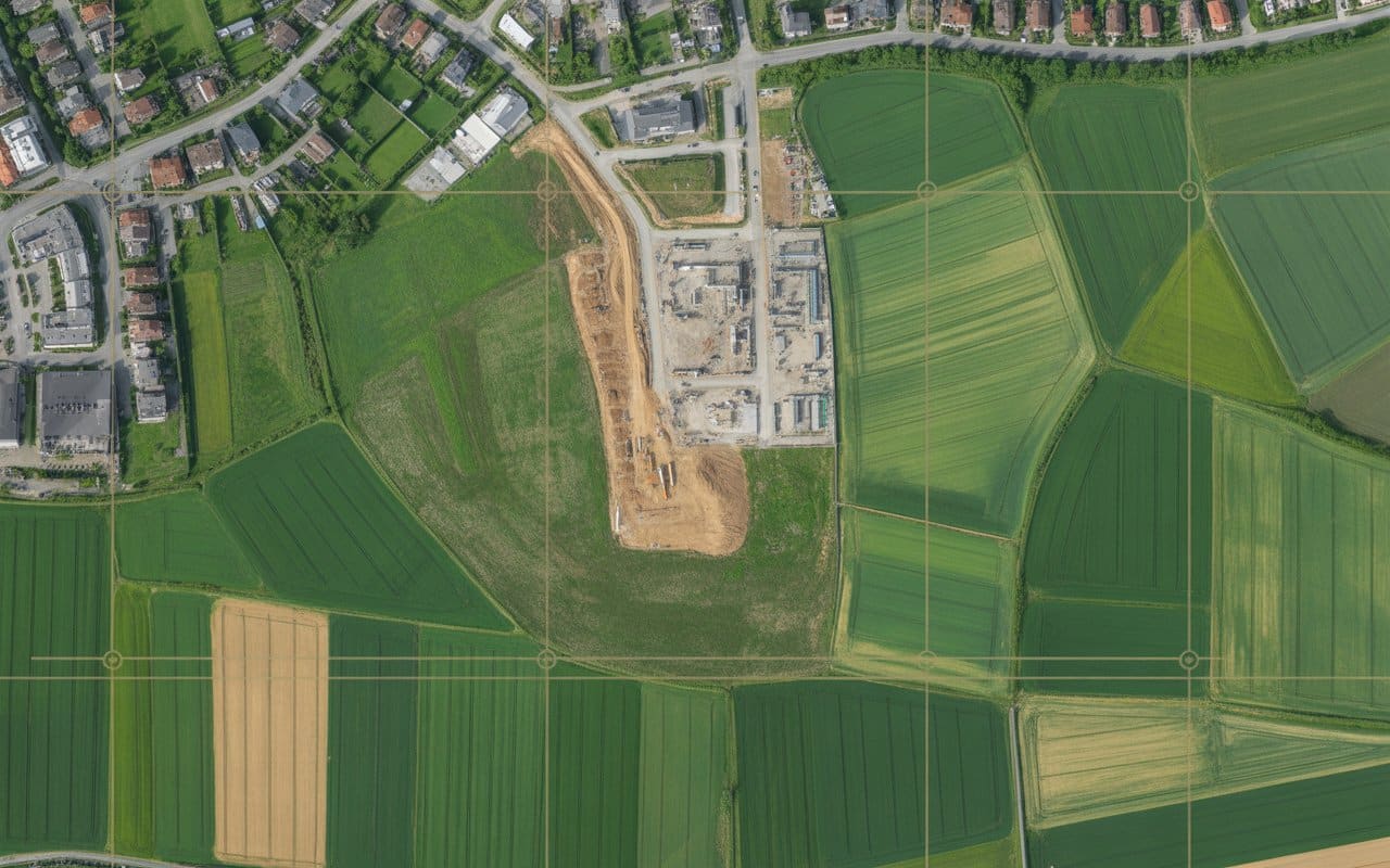
How Detailed Is Drone Photogrammetry for Topographic Mapping Accurate terrain data is critical for planning…
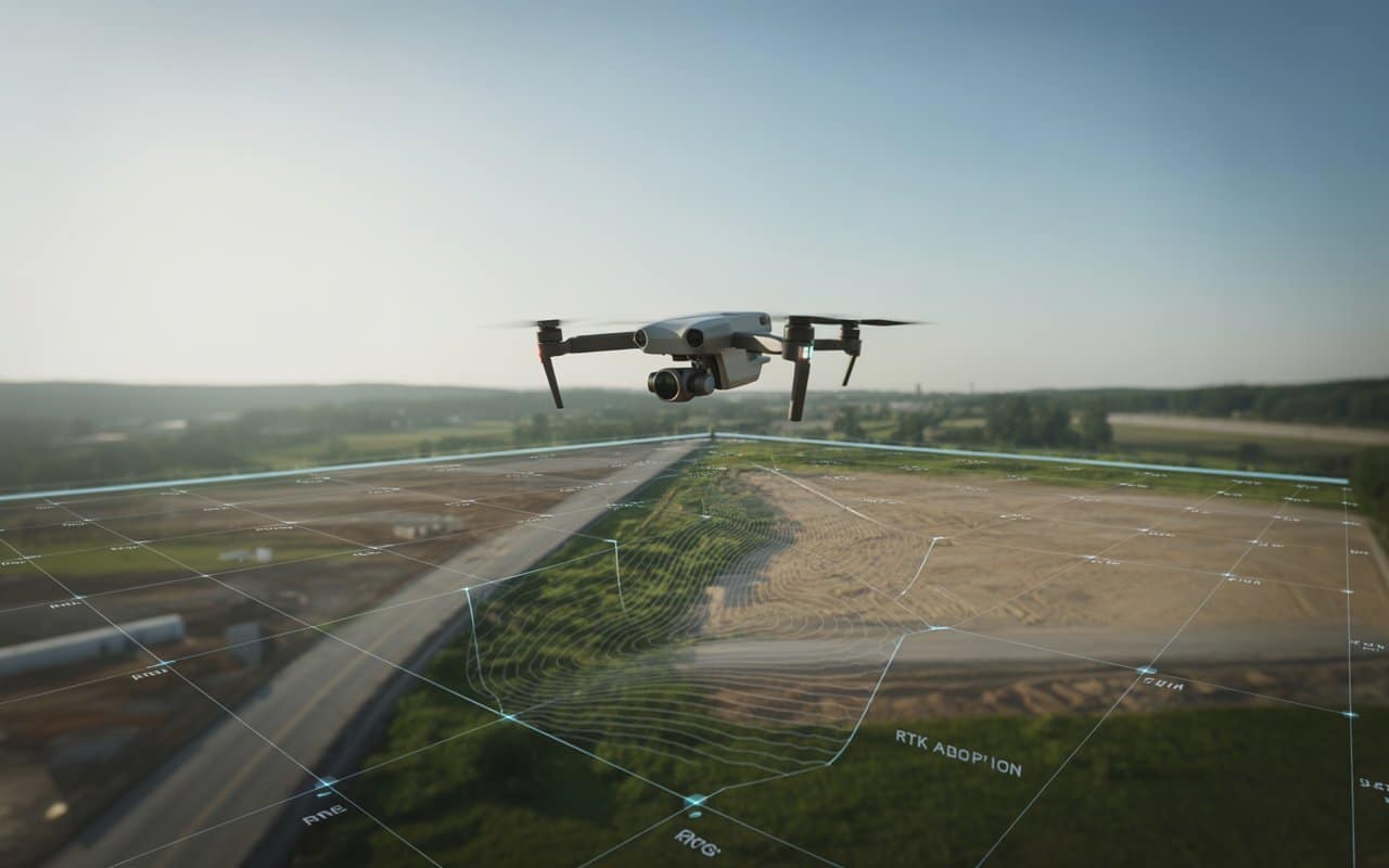
Accurate terrain information is the foundation of many modern projects. Construction planning, infrastructure development, environmental…
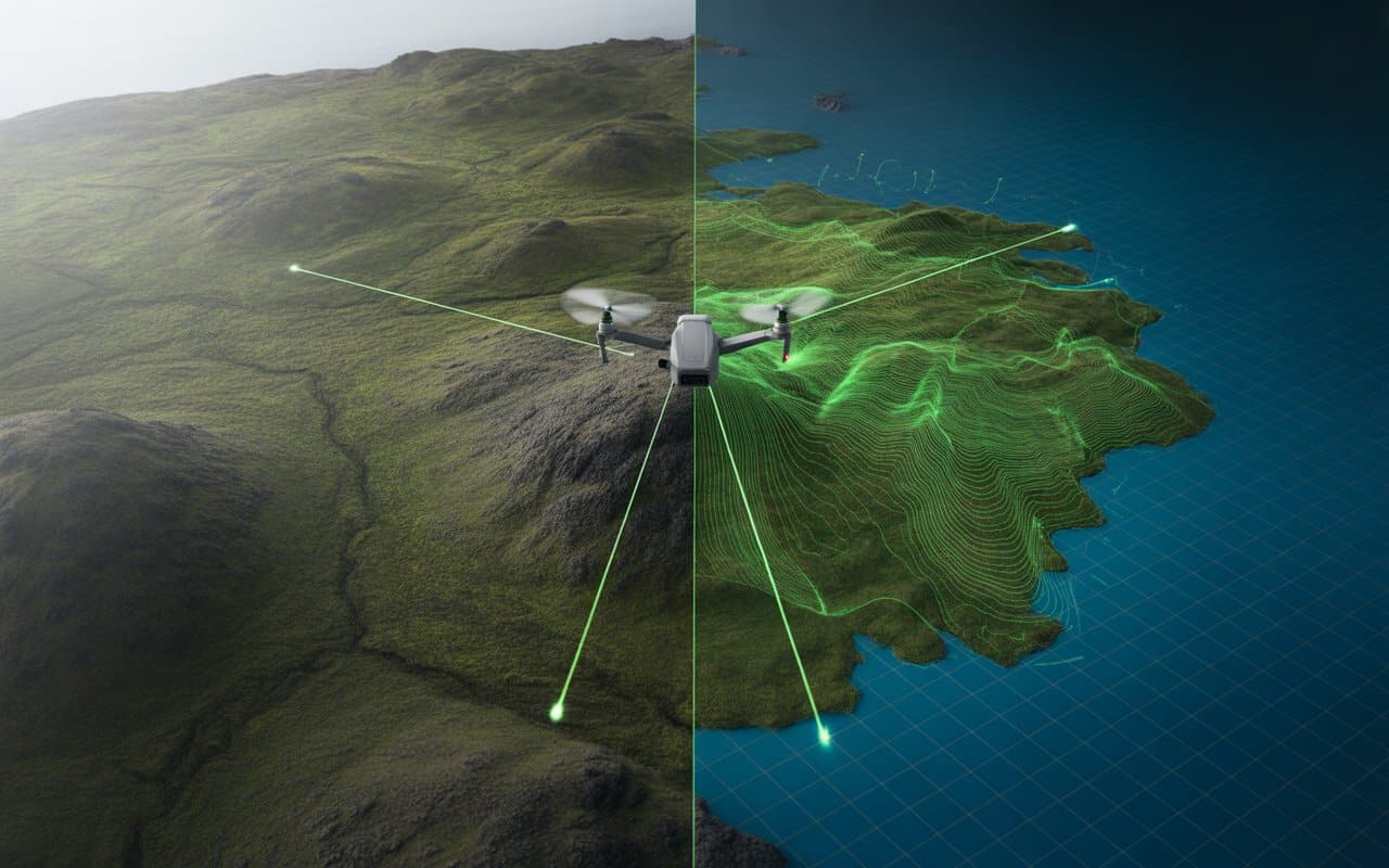
When projects stretch across forests, highways, pipelines or remote terrain, accuracy and efficiency become critical. …
Across industries, reliable terrain data is becoming more critical than ever. Projects depend on accurate…

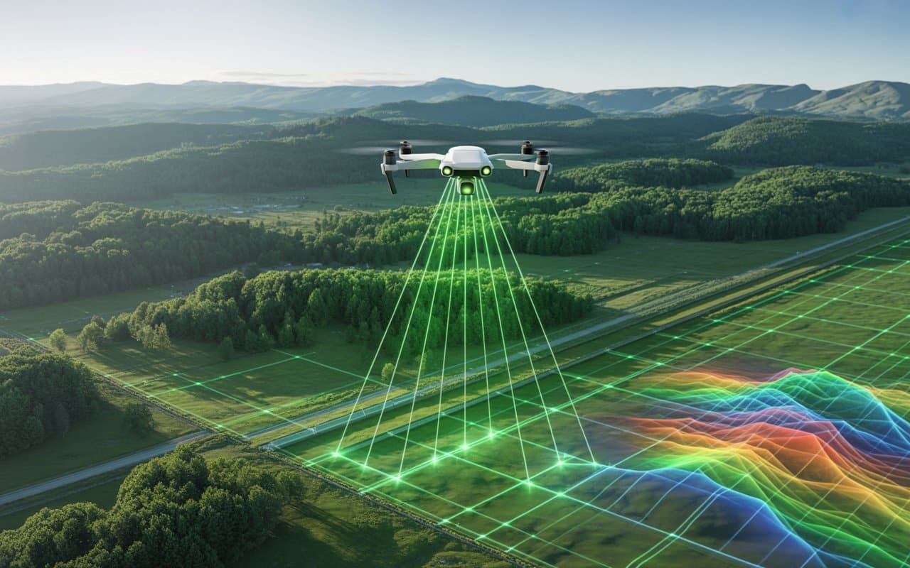
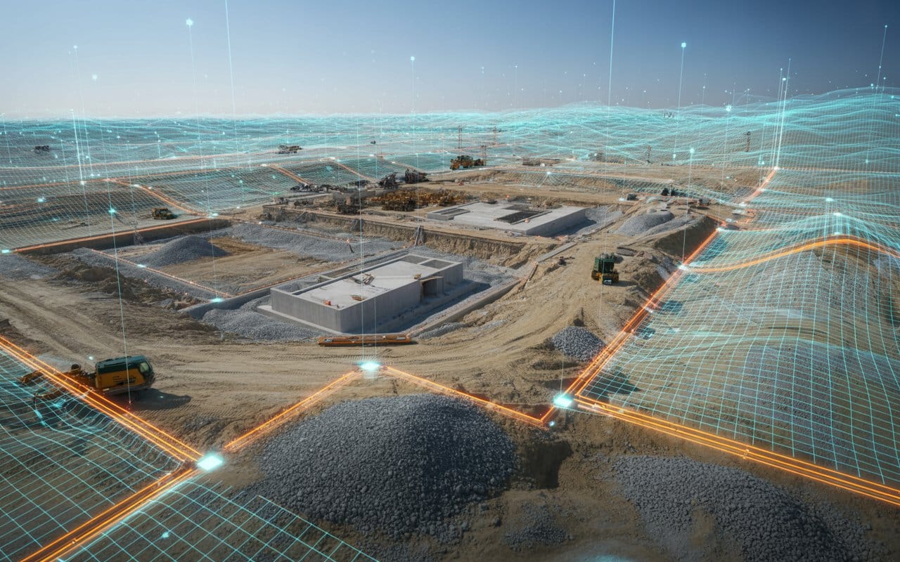
The world of land surveying is undergoing a significant transformation, with land surveying drones leading…
Have you ever wondered how professionals gather detailed and accurate maps so quickly? The answer…
Lately, businesses are increasingly turning to technology to enhance accuracy, save time, and reduce costs. …
Have you ever wondered how drone mapping is revolutionizing the way we capture and analyze…
