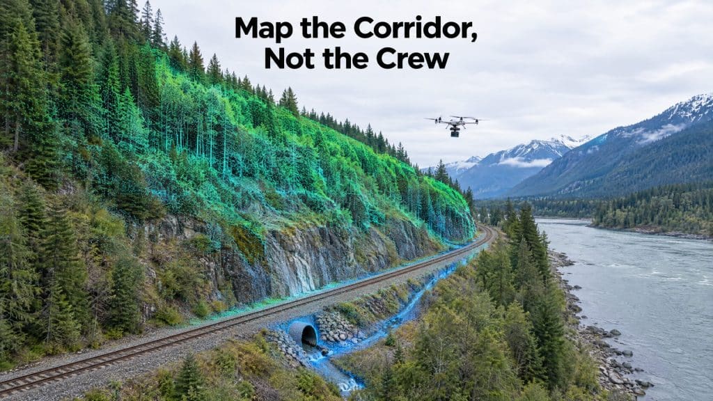
A railway corridor is one of the hardest places to survey. It is long and narrow. It often runs along the base of steep slopes, through rock cuts and beside rivers. And the safest place for a survey crew is anywhere except on the track.
That combination is why drone LiDAR for railway corridors has moved from a novelty to a practical tool. It captures the corridor in detail from the air, keeps people off the line, and records the slopes and drainage that threaten the track as well as the track itself.
Why rail corridors are hard to survey on the ground
Access is controlled. Any work on a railway right-of-way runs under the owner’s access and protection rules. Ground crews need track time, protection and coordination, and every hour on the line has a cost.
The terrain is extreme. In BC and Alberta, many corridors were built where there was barely room: along canyon walls, under unstable slopes and beside fast rivers. Walking those slopes is slow and sometimes unsafe.
The threats are often off the track. Rockfall, slides, washouts and blocked culverts start above or beside the line. A survey that only measures the track misses the hazards most likely to close it.
What drone LiDAR for railway corridors captures
A drone LiDAR survey records millions of measured points along the corridor. Once the point cloud is classified, it supports:
- Track and ballast surroundings: rails, ballast shoulders, ties and the track bed profile
- Slopes and rock cuts: bare-earth terrain under vegetation, cut faces, benches and the material sitting above the line
- Drainage: ditches, culvert inlets and outlets, low points and the paths water will take toward the track
- Structures: bridges, retaining walls, signals, poles and overhead lines
- Vegetation: trees and brush encroaching on sightlines, clearances and access roads
- Clearances: distances between the track and walls, cuts, structures and vegetation
The bare-earth capability matters most on forested slopes. Because LiDAR pulses pass through gaps in the canopy, the survey shows the actual ground surface, including scarps, gullies and old slide features that are invisible in photos.
Slopes: from a snapshot to monitoring
A single survey gives a detailed baseline of every slope along the corridor. The real value comes from repeating it.
Fly the same corridor again after freshet, a heavy rain season or a known event, and compare the two point clouds. The difference shows where ground has moved, where material has accumulated on benches, and where erosion is cutting into a slope. That turns slope management from periodic visual inspection into measured change detection, so engineers can prioritize the locations that are actually moving.
Drainage: the problem that starts small
Water is one of the most persistent threats to track. Poor drainage softens the track bed, undermines embankments and, in the worst cases, washes out the line.
A detailed terrain model of the corridor shows where ditches have filled in, where grades have flattened, where culverts are buried or blocked, and where runoff from upslope will concentrate. Those are maintenance findings that can be acted on before the wet season, rather than discovered after a failure.
Keeping crews off the line
The safety case is simple. The drone flies; the crew stays clear of the track. Field work shrinks to setting up equipment at safe locations, and the time needed on the right-of-way drops significantly.
Every flight is still planned with the railway owner. Airspace, track access, protection and communication are agreed before mobilization, and the flight plan respects the operating railway. Drone survey reduces exposure; it does not replace the owner’s safety process.
Where drone LiDAR fits with other methods
Drone LiDAR is one tool in the corridor toolkit, not the whole kit.
- Track geometry measurement for maintenance standards is the job of specialized track geometry systems, not aerial survey.
- Very long corridors can be more economical with airborne LiDAR from a crewed aircraft, with drones used for detailed sections. We compare the two in airborne LiDAR vs drone LiDAR.
- Detailed slope and drainage sections, bridges, cuts and hard-to-reach terrain are where a drone flying low and slow delivers the density that makes the data useful.
The right mix depends on corridor length, the level of detail required and how the data will be used.
Planning a corridor survey
Before you scope a project, be ready to answer:
- What decisions the data supports: slope risk, drainage maintenance, clearance, design or a baseline
- How long the section is, and which areas need the most detail
- What coordinate system and datum your engineering team works in
- Whether you plan to repeat the survey for change detection
- What access and protection the railway owner will require
You can see more of how we support the sector on our railways industry page.
Planning a corridor survey? Let’s scope the section and the risks →