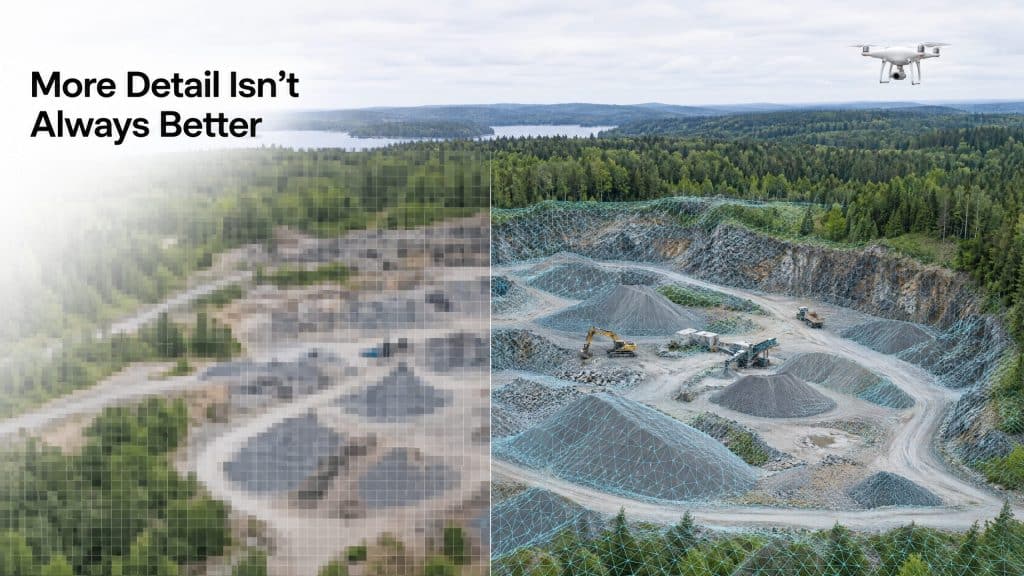
There’s a Goldilocks problem hiding in every drone survey — resolution — and almost nobody talks about it until it’s too late.
Order too much resolution, and you’ve paid for detail you’ll never use — larger files, longer processing, a bigger invoice. Order too little, and the data quietly fails you: the crack you needed to see isn’t there, the contours are too coarse for design, and you’re re-flying the site. Both mistakes cost money. The trick is landing in the middle.
First, what drone survey resolution actually means
In drone surveying, resolution mostly comes down to two things: how much detail each image or scan captures, and how densely points or pixels are packed across the ground.
For photogrammetry, the key term is Ground Sampling Distance (GSD) — the real-world size each pixel represents. A 2 cm GSD means one pixel covers a 2 cm × 2 cm square of ground. Smaller number, finer detail.
For LiDAR, it’s point density — points per square metre. More points mean more detail, especially for small or complex features.
You don’t need to memorize the physics. You need to know one thing: resolution should be driven by your deliverable, not by “more is better.”
Start from the end, not the start
The right question isn’t “what’s the highest resolution available?” It’s “what decision will this data support?”
- Volume measurements on a bare stockpile? You don’t need ultra-fine resolution. You need consistent, repeatable capture. Moderate resolution does the job — this is classic photogrammetry territory.
- Detecting fine cracks or small defects? Now detail matters, and you push for a finer GSD.
- Bare-earth terrain under forest for drainage design? This isn’t really a resolution question at all — it’s a LiDAR question, because you need to get through the canopy first.
- Powerlines, poles, and thin features? High point density, because those features are small and easy to miss.
The altitude trade-off
Here’s the lever that controls it all: flight altitude. Fly lower, and you get finer resolution — but you cover less ground per flight, so the job takes longer and costs more. Fly higher, and you cover more ground faster, but detail drops.
Every survey is a negotiation between detail, coverage, time, and cost. A good operator doesn’t just crank resolution to the maximum — they find the altitude and settings that hit your required accuracy efficiently. Maxing out resolution “to be safe” is one of the most common ways to overspend on a survey.
A simple way to think about it
Ask yourself three questions:
- What’s the smallest thing I need to see or measure? That sets your minimum detail.
- What accuracy does my end use require? Design and permitting are stricter than general planning.
- How big is the area? Large sites make ultra-fine resolution expensive fast.
Answer those, and the right resolution almost picks itself.
When in doubt, ask before you fly
The most expensive resolution mistakes are the ones discovered after the flight. The fix is embarrassingly simple: have the conversation upfront. Tell your provider what you’re using the data for, and a good one will spec the resolution to match — no guesswork, no re-flights.
Not sure what resolution your project needs? Tell us what you’re building and we’ll spec it →