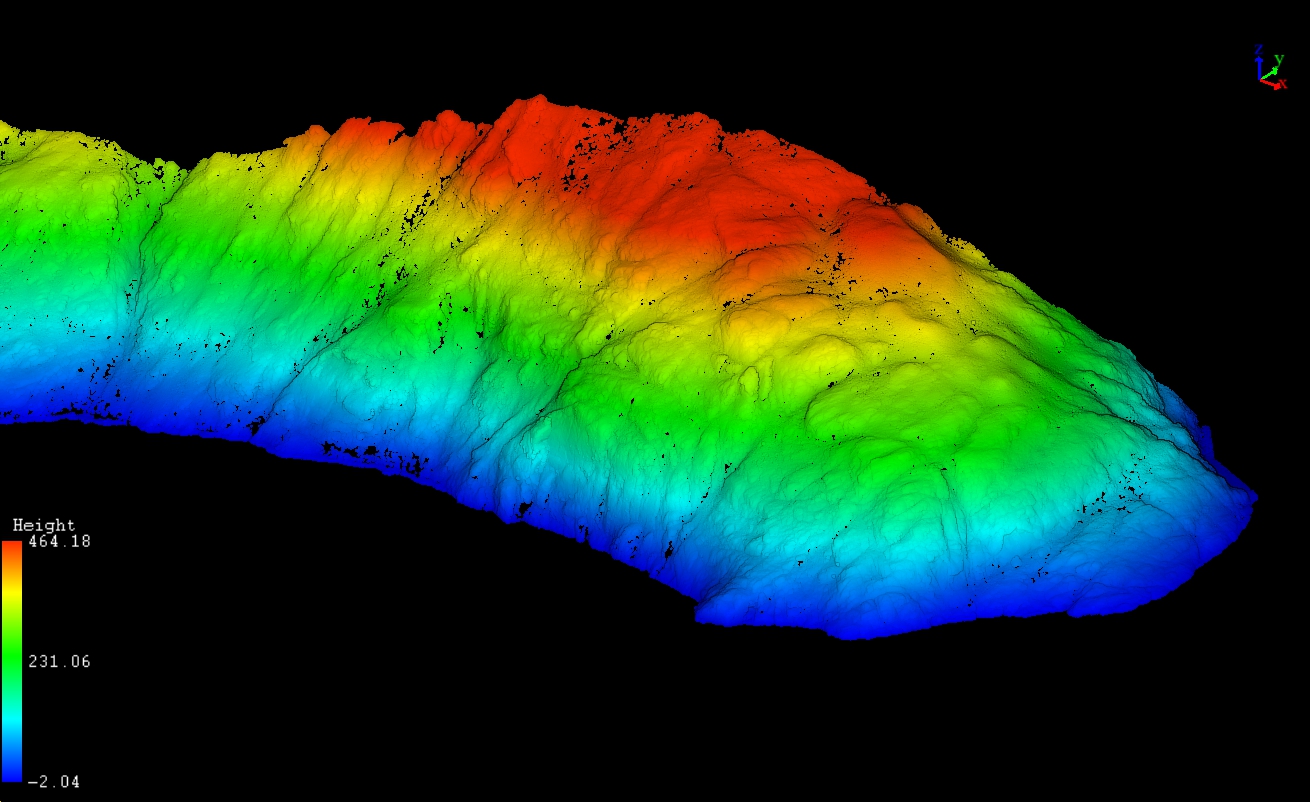
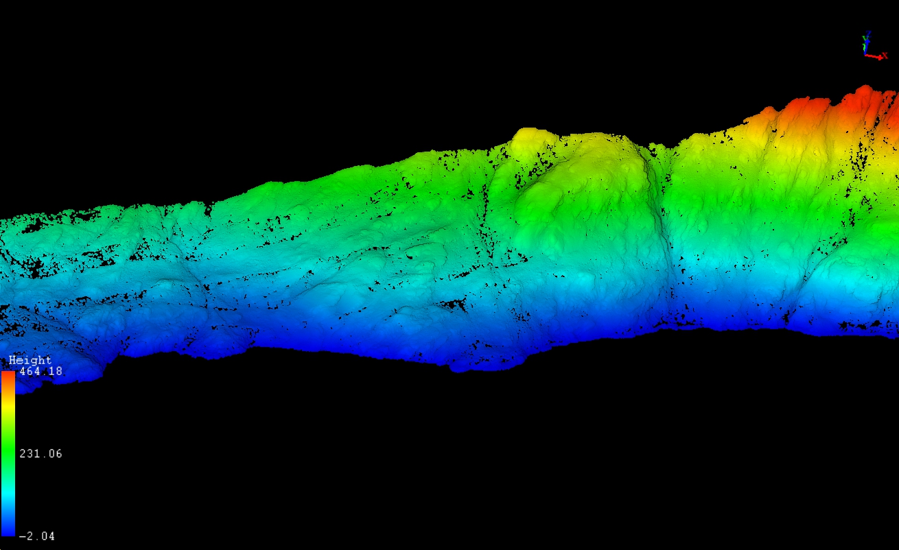
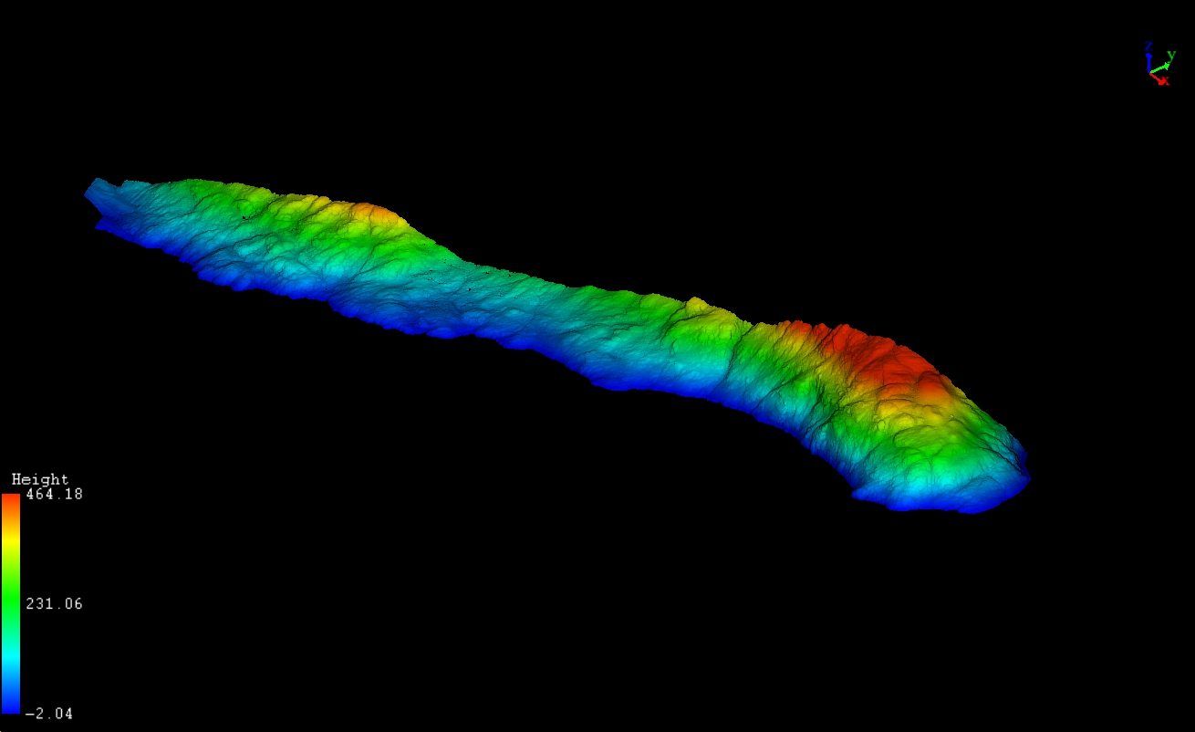
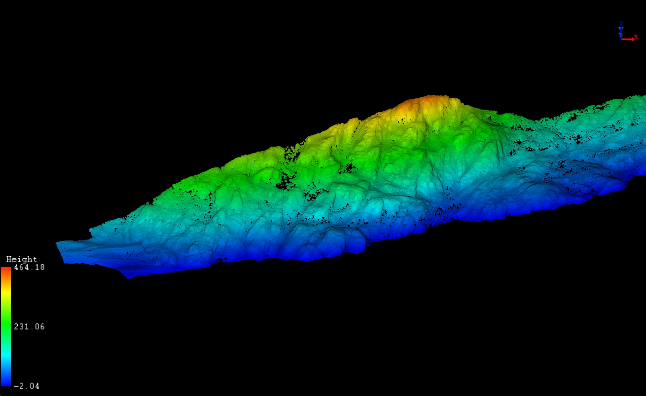
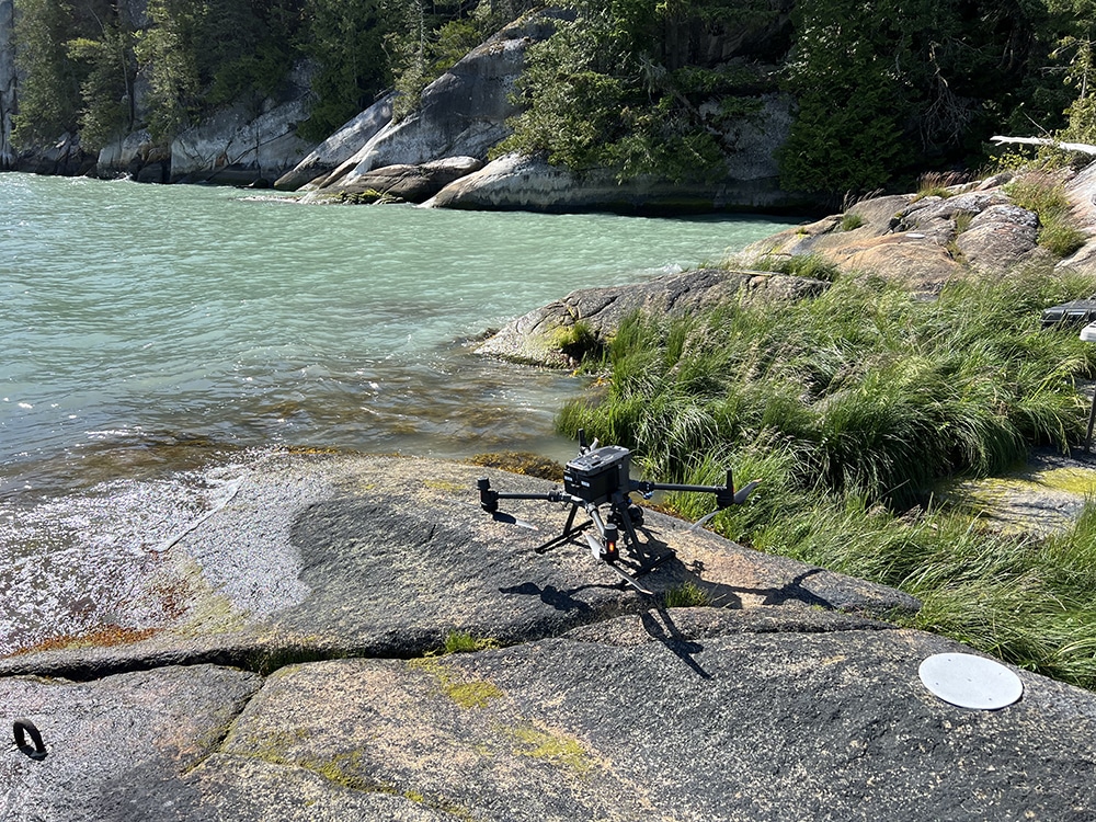
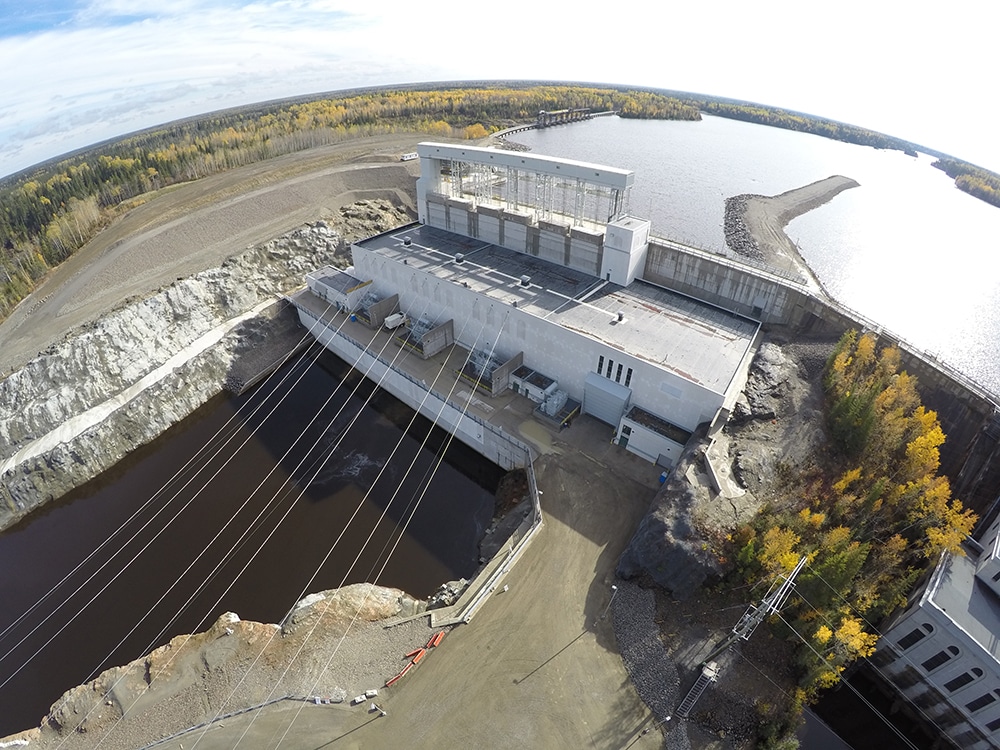
Rekon supports infrastructure teams with RPAS-based mapping that reveals site risks, terrain changes, and feasibility. We help energy projects move forward with confidence.
Mapping Built for Energy Needs
From powerline inspections to pipeline corridors and solar sites, we deliver the topographic and 3D data you need, both fast and reliably.
