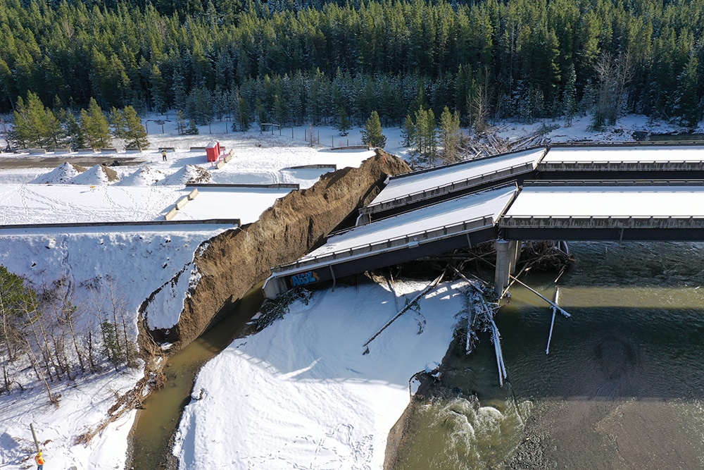
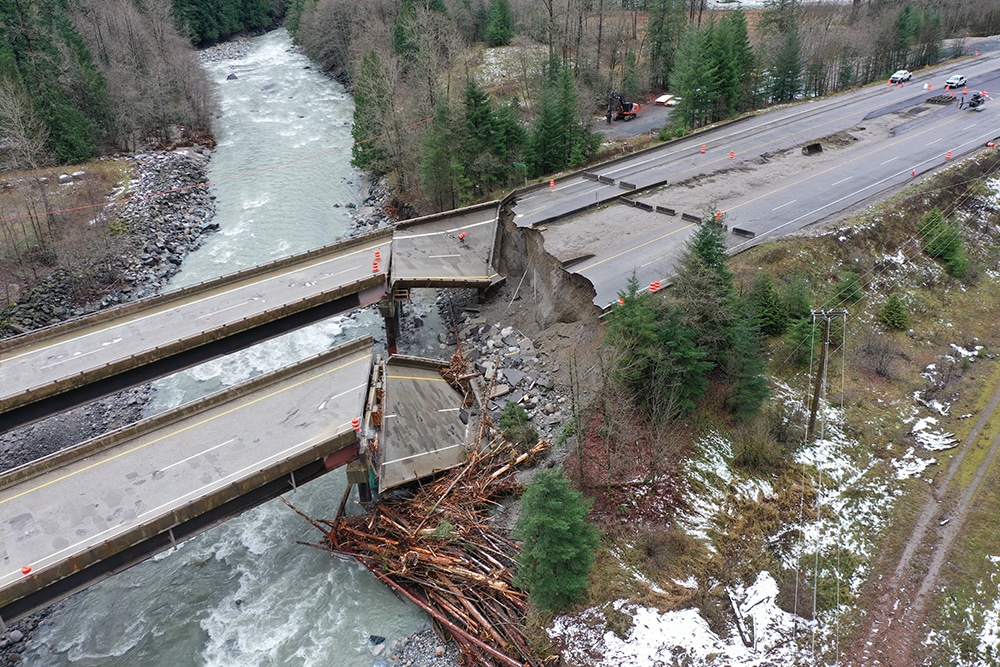
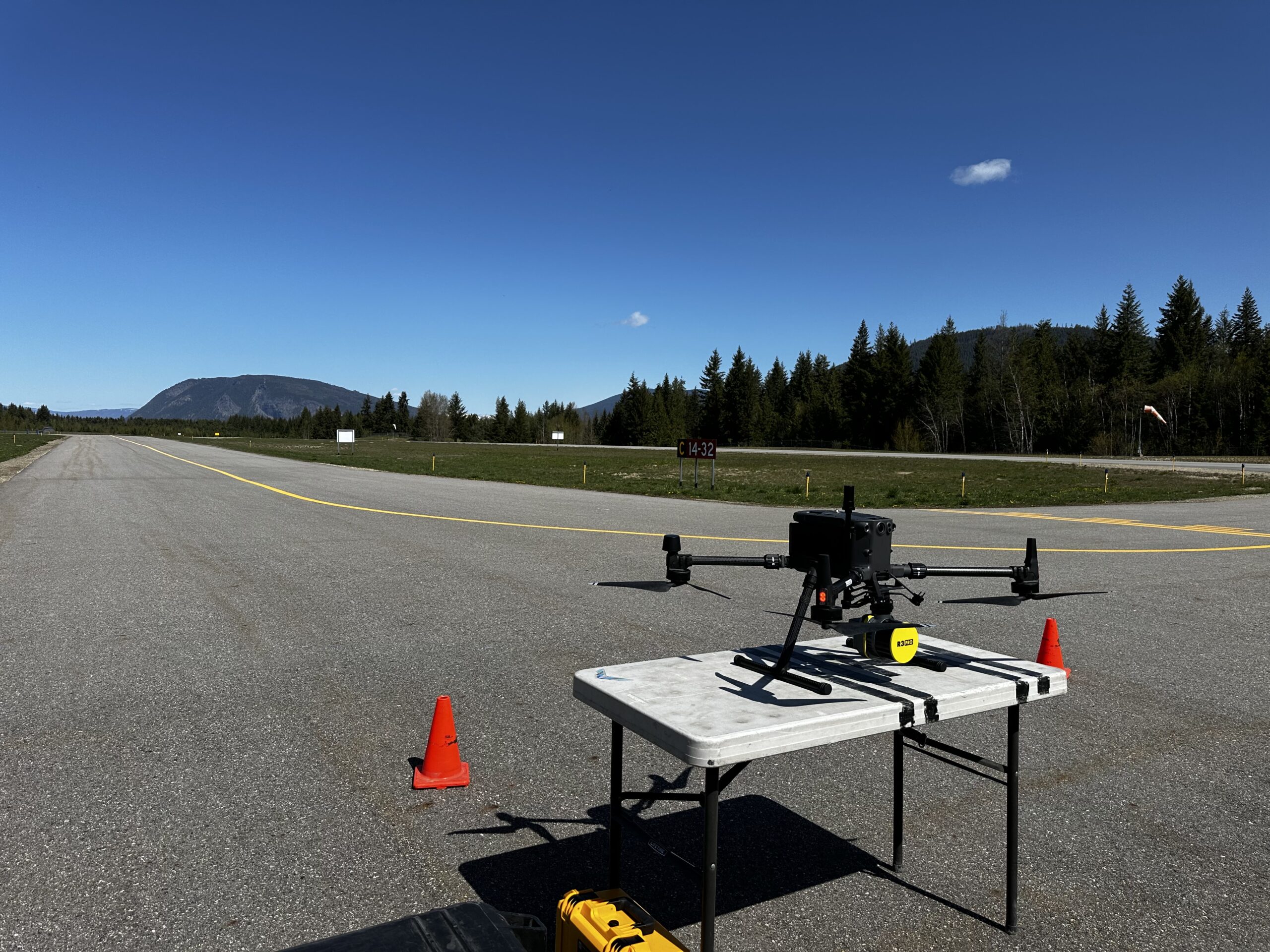
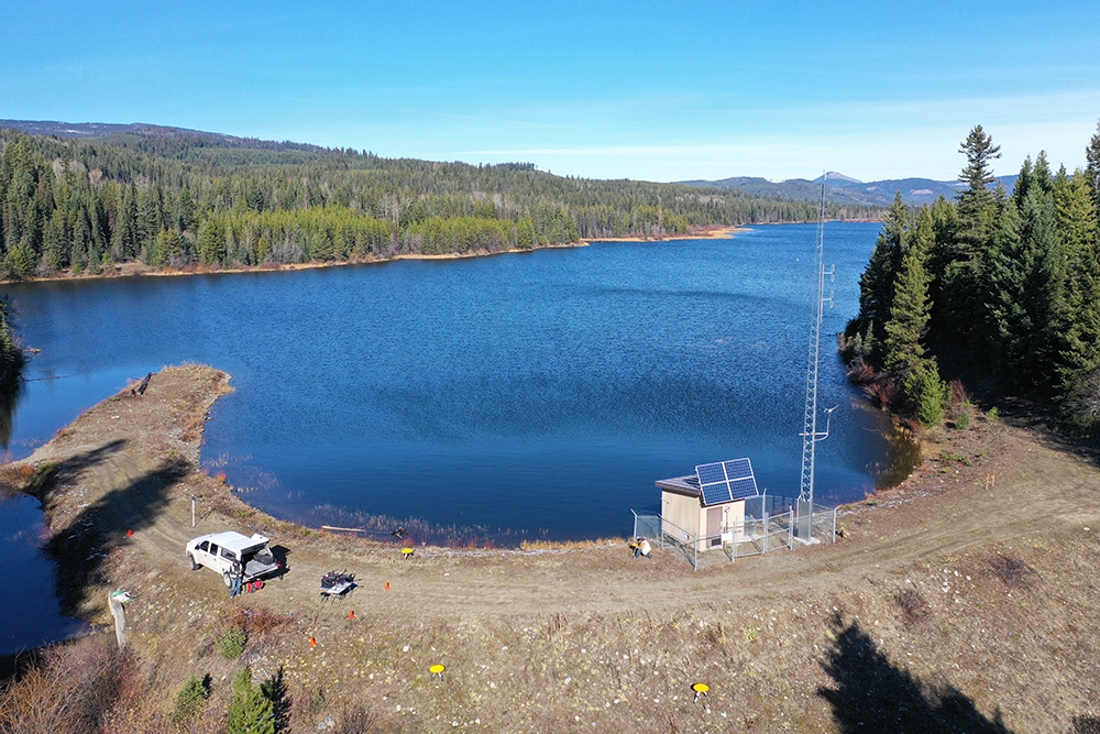
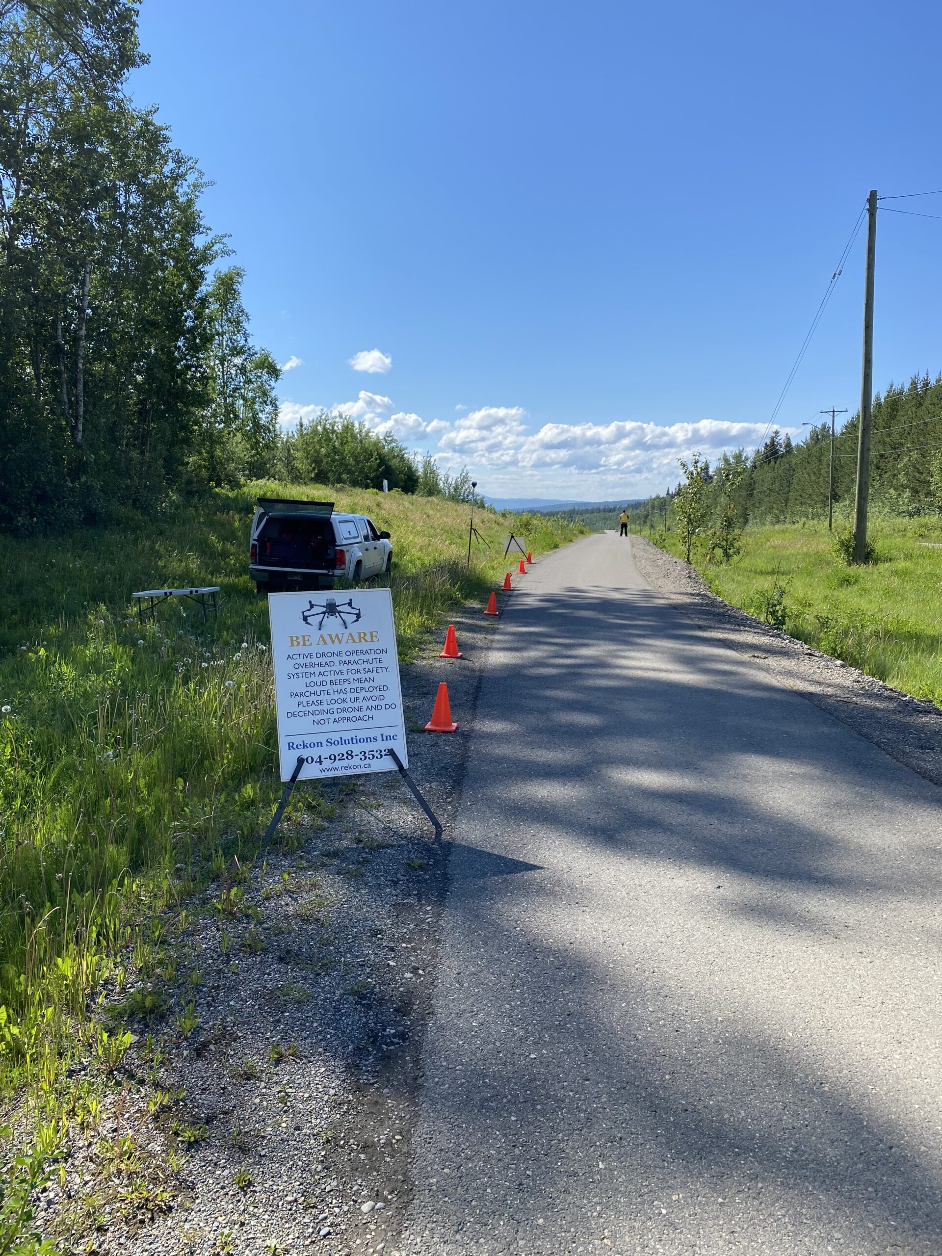
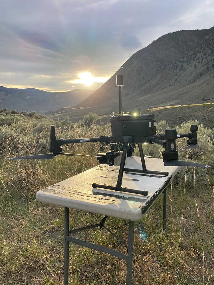
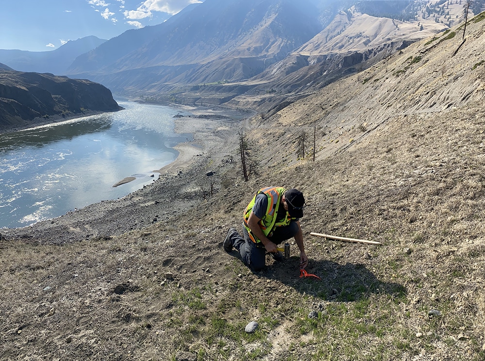
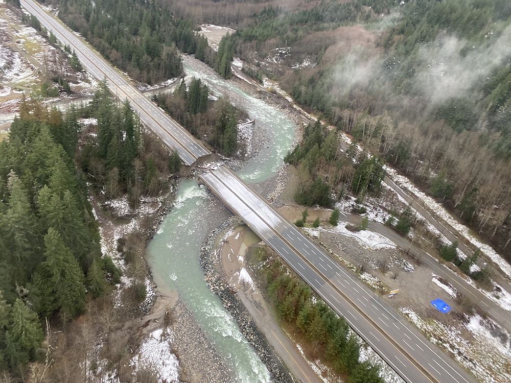
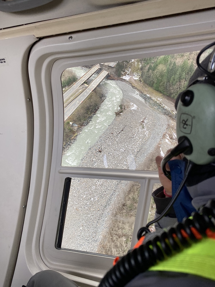
Agencies and First Nations trust Rekon for reliable aerial data that informs development, stewardship, and review. From salmon habitats to road rebuilds, we have proudly provided what decision-makers need.
Have Accurate Data for Critical Projects
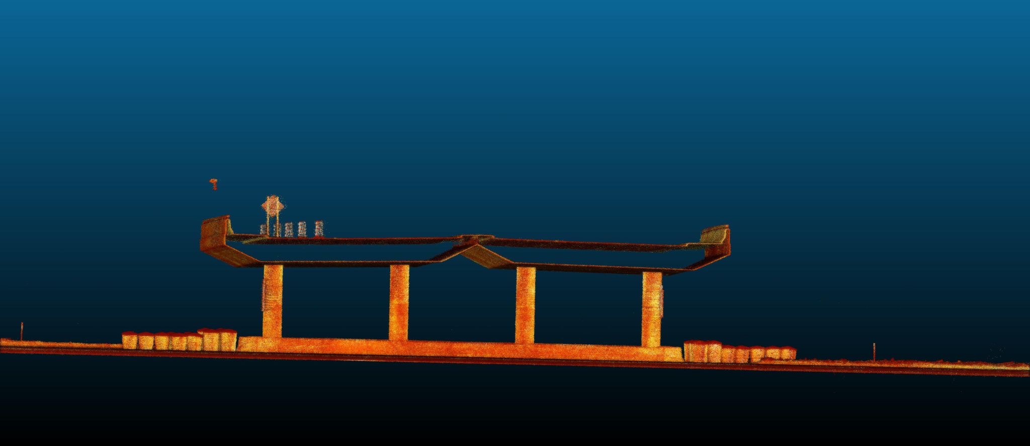
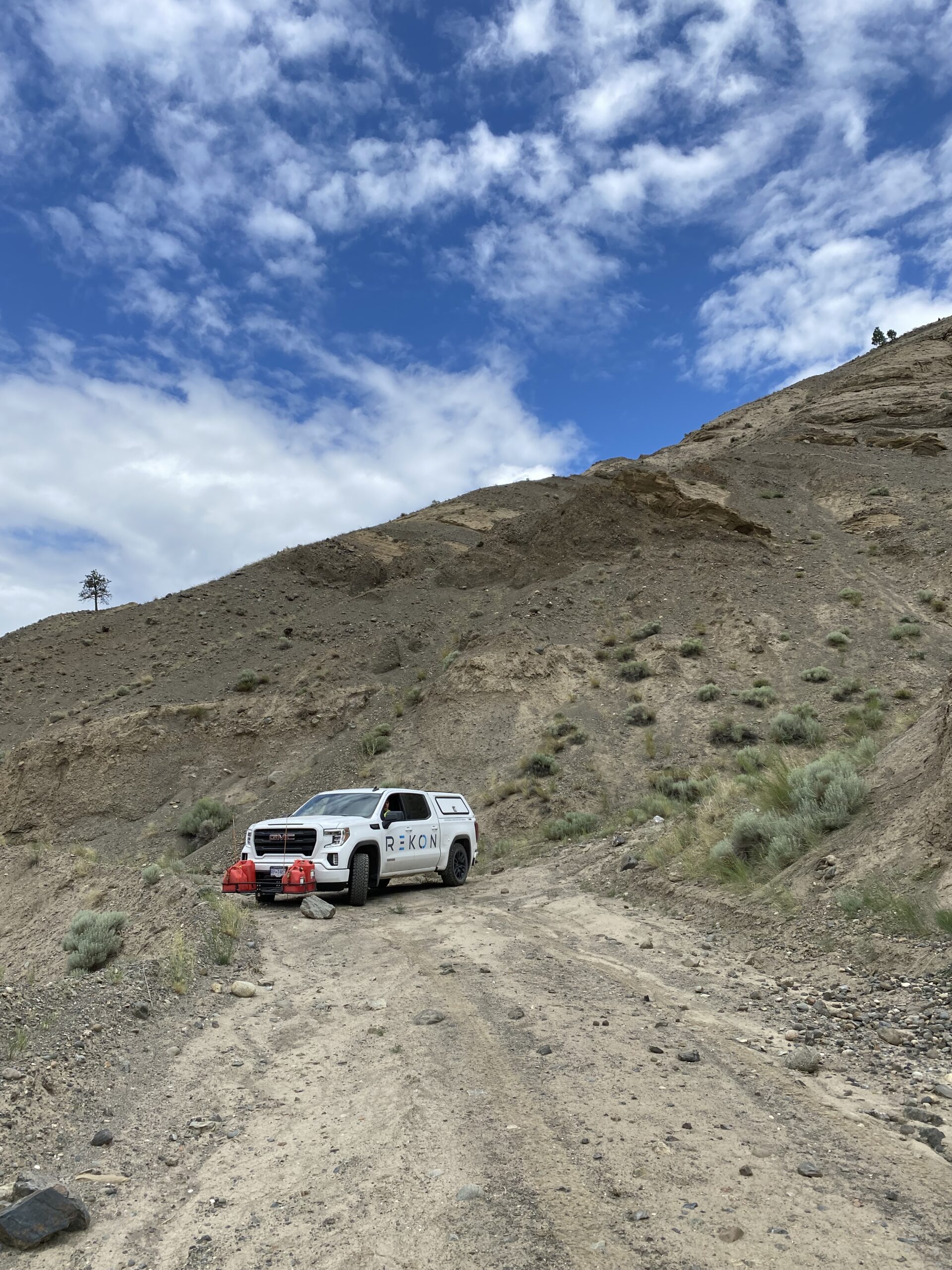
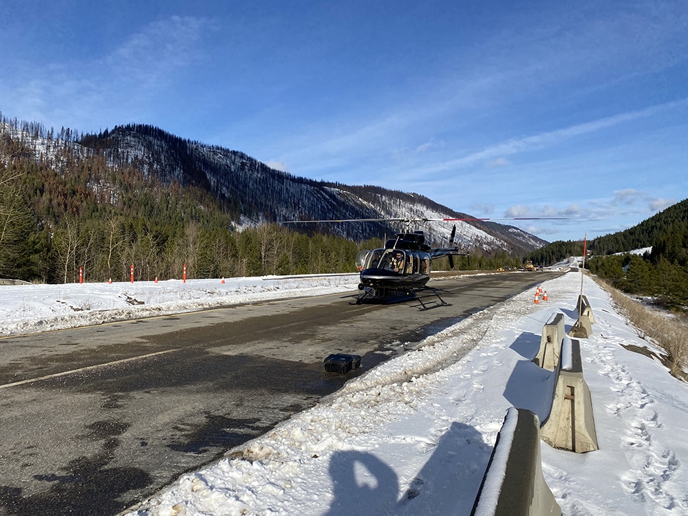
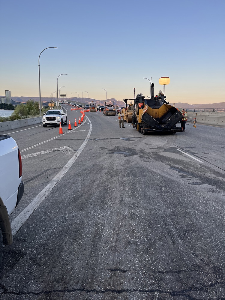
We have flown highway sites by helicopter, mapped crown land, and supported federal teams with terrain models for permits and disaster recovery.
