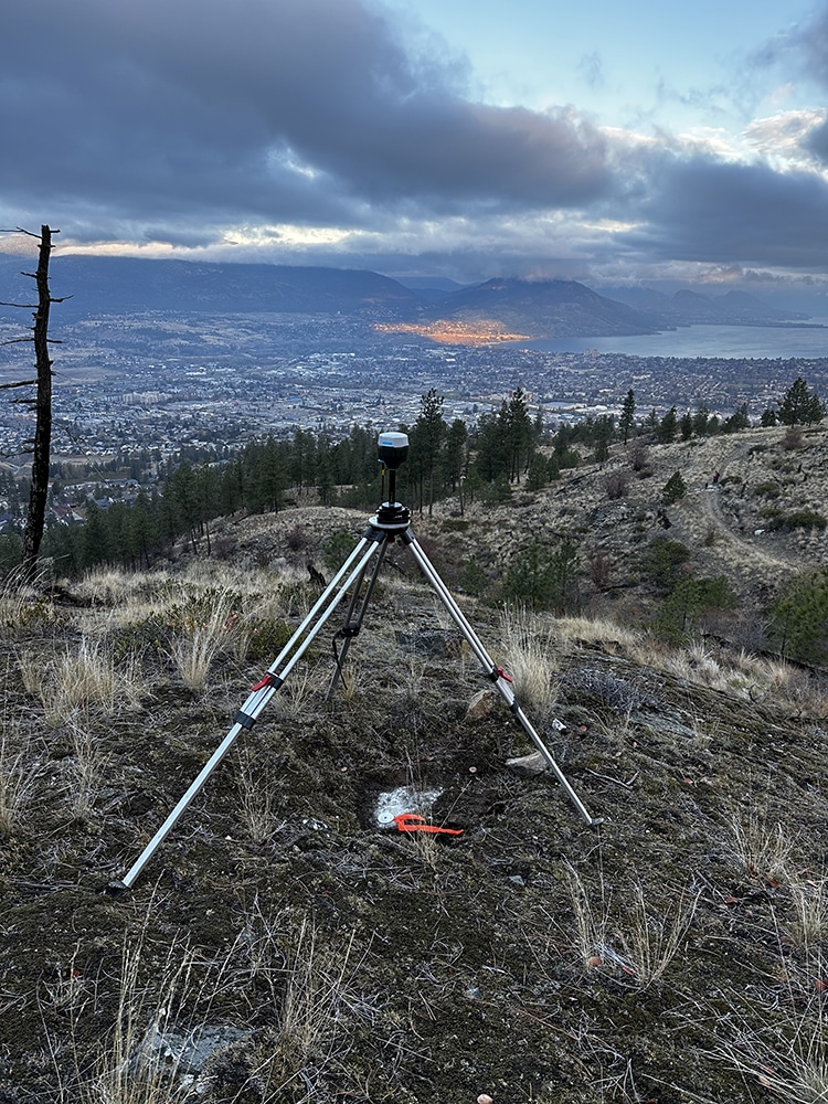
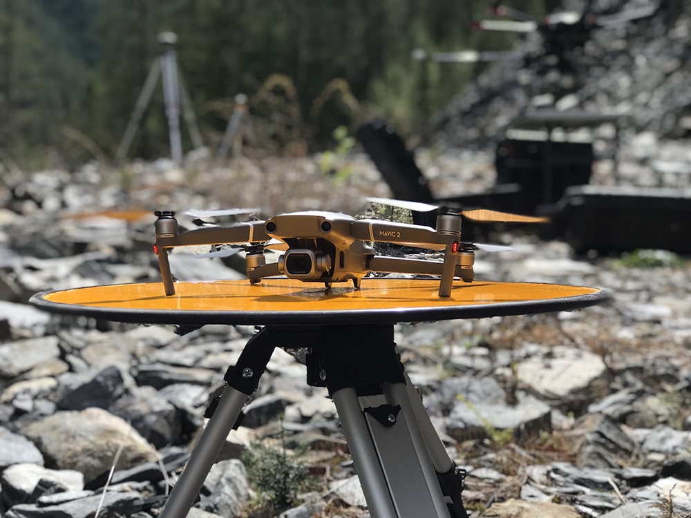
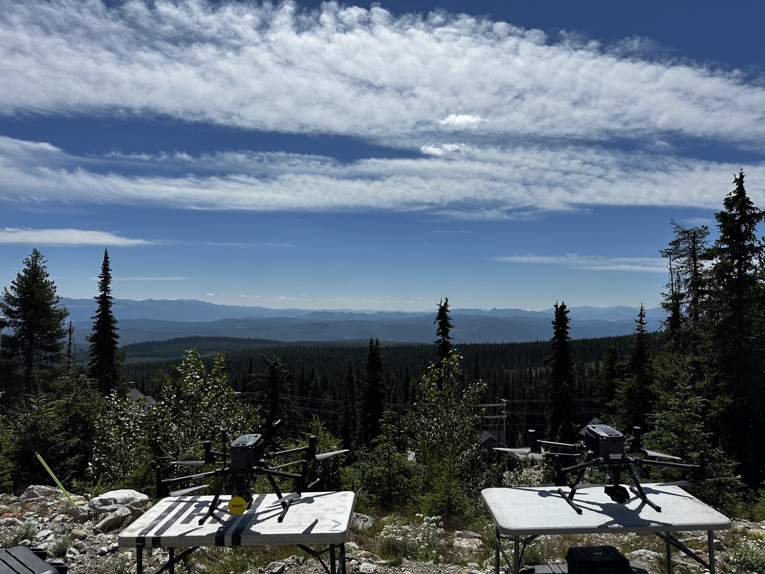
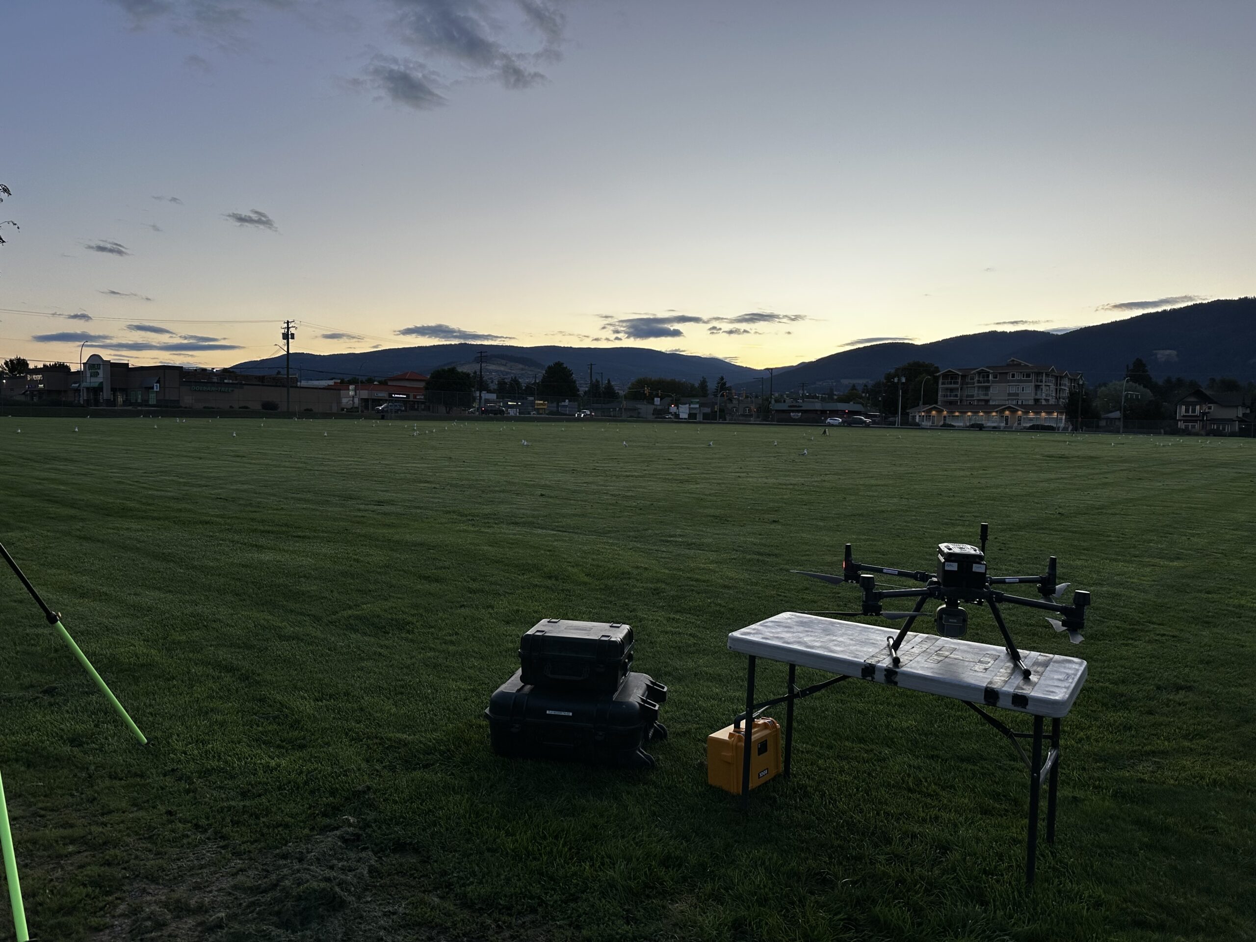
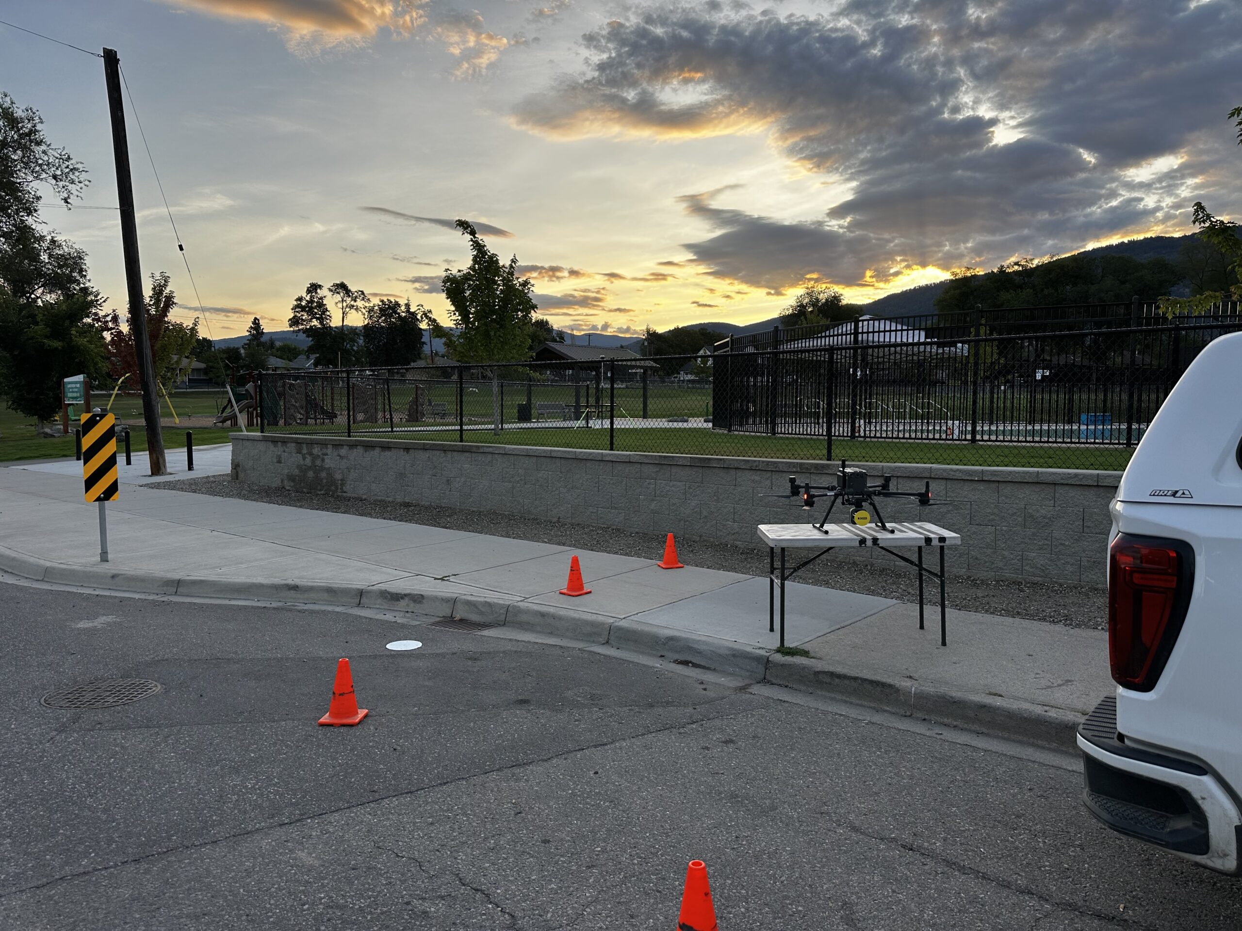
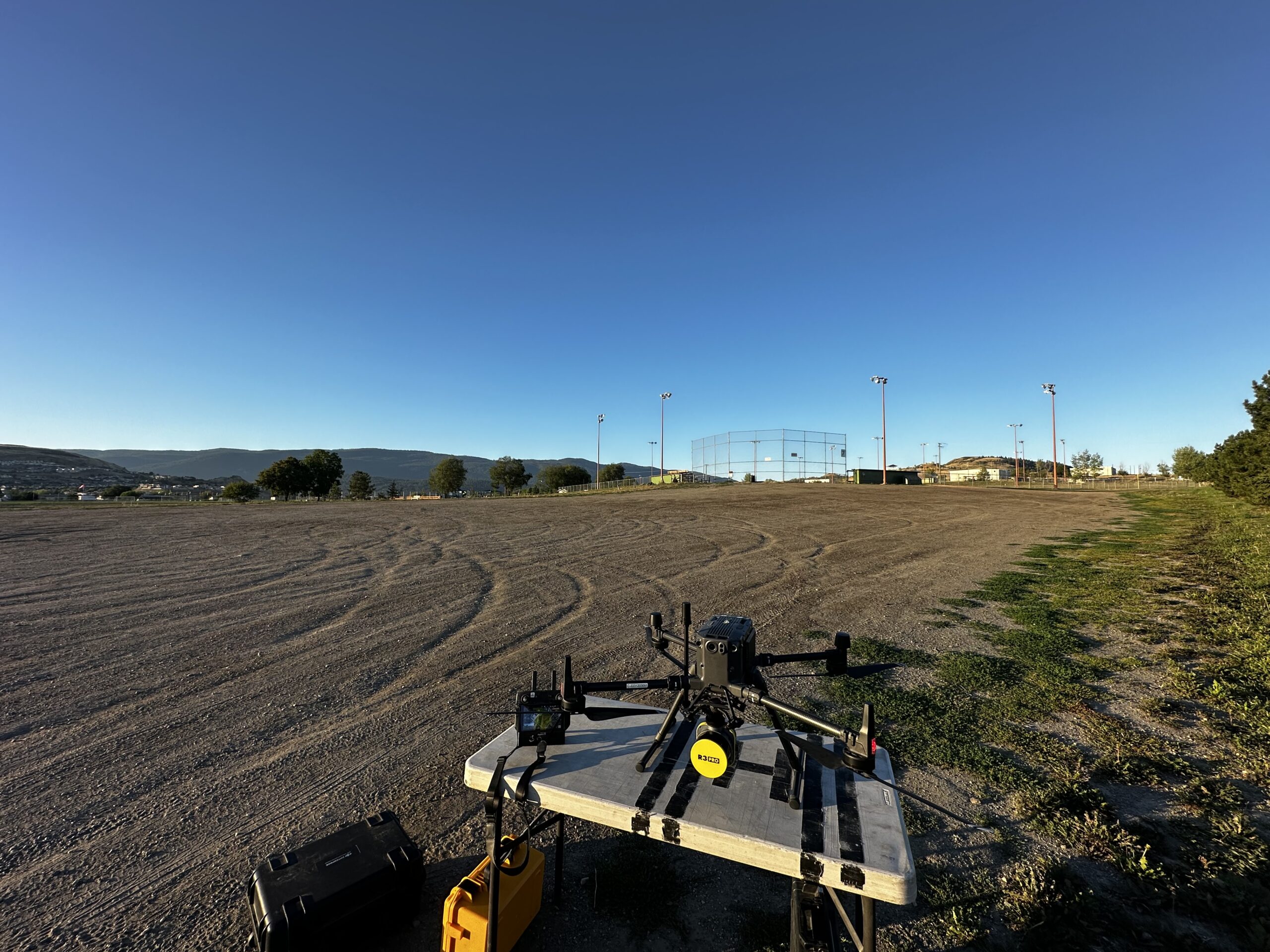
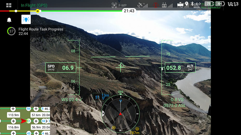
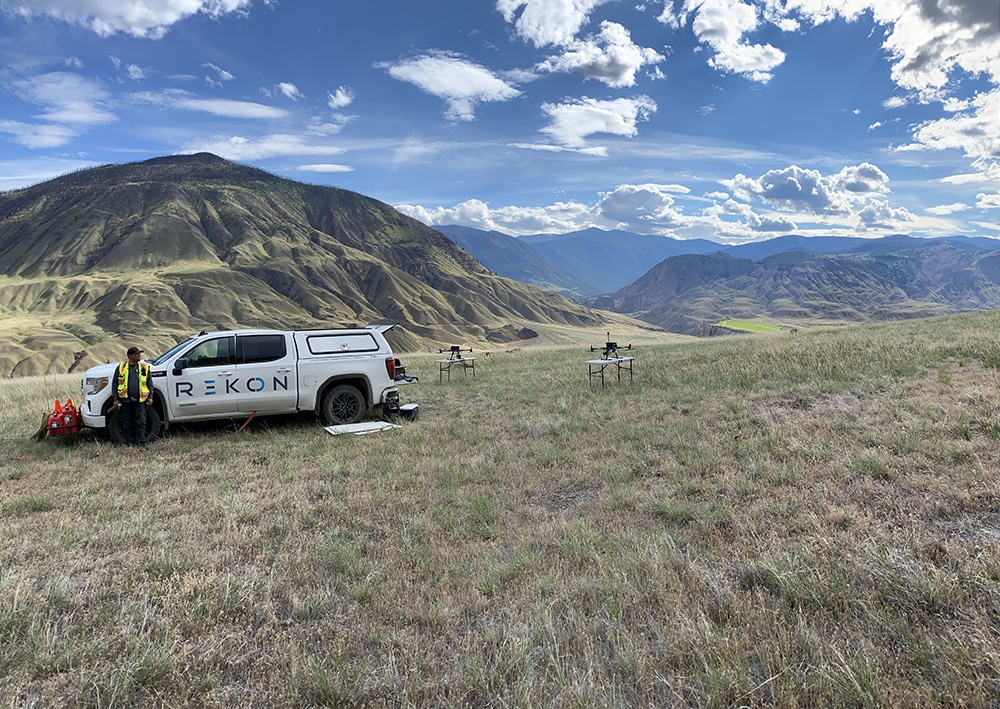
When precision drives your bids and site prep, data delays can stall progress. To avoid the chaos, Rekon delivers drone LiDAR and photogrammetry that’s precisely tailored for developers and construction teams. From terrain models to volume estimates, we can help you build smarter.
We Offer You Confidence in Every Contour
Our surveys highlight slopes, drainage, and elevation changes, so your design team works with ground truth. From subdivisions to grading, we align your plans with the land.