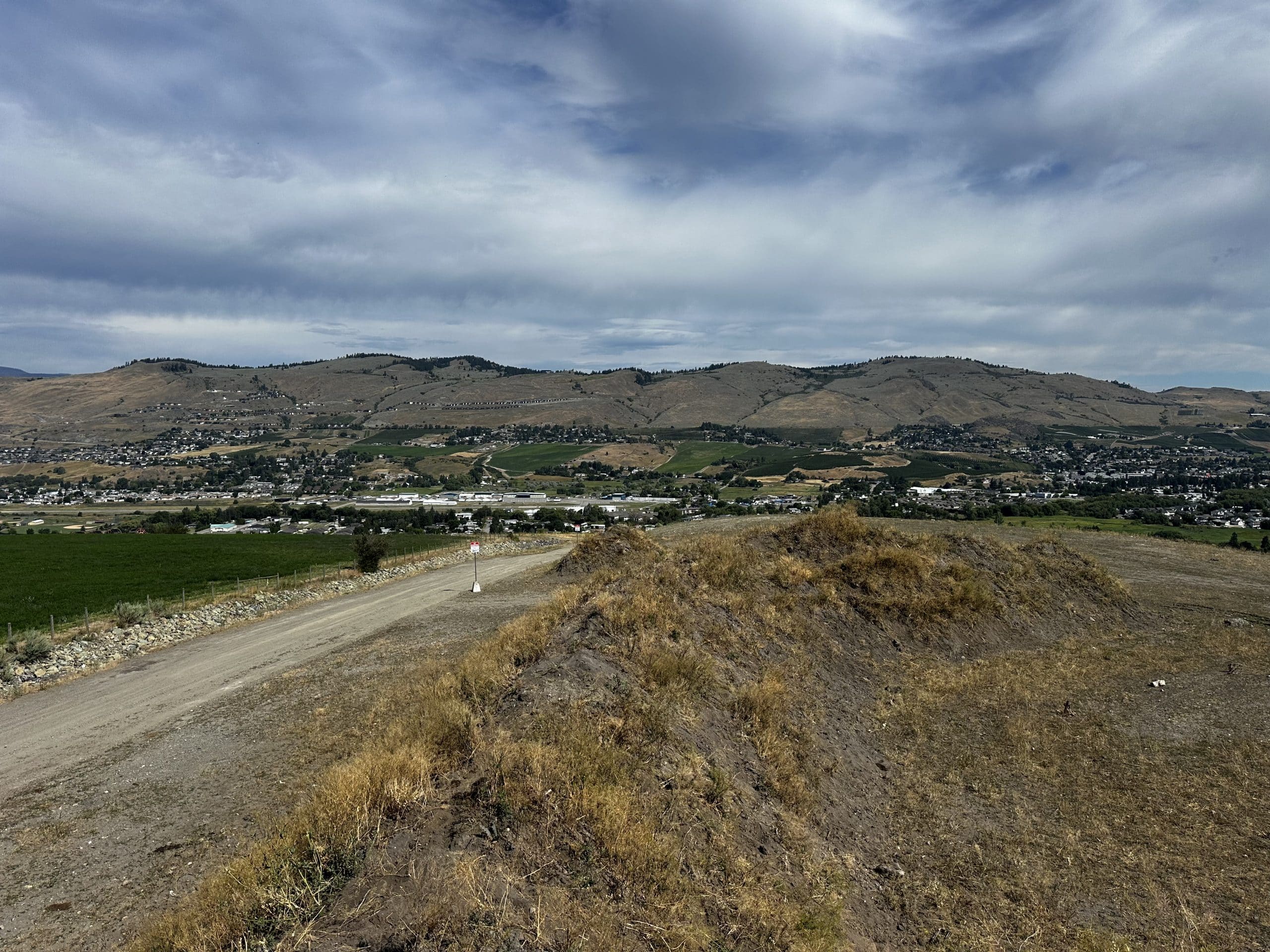
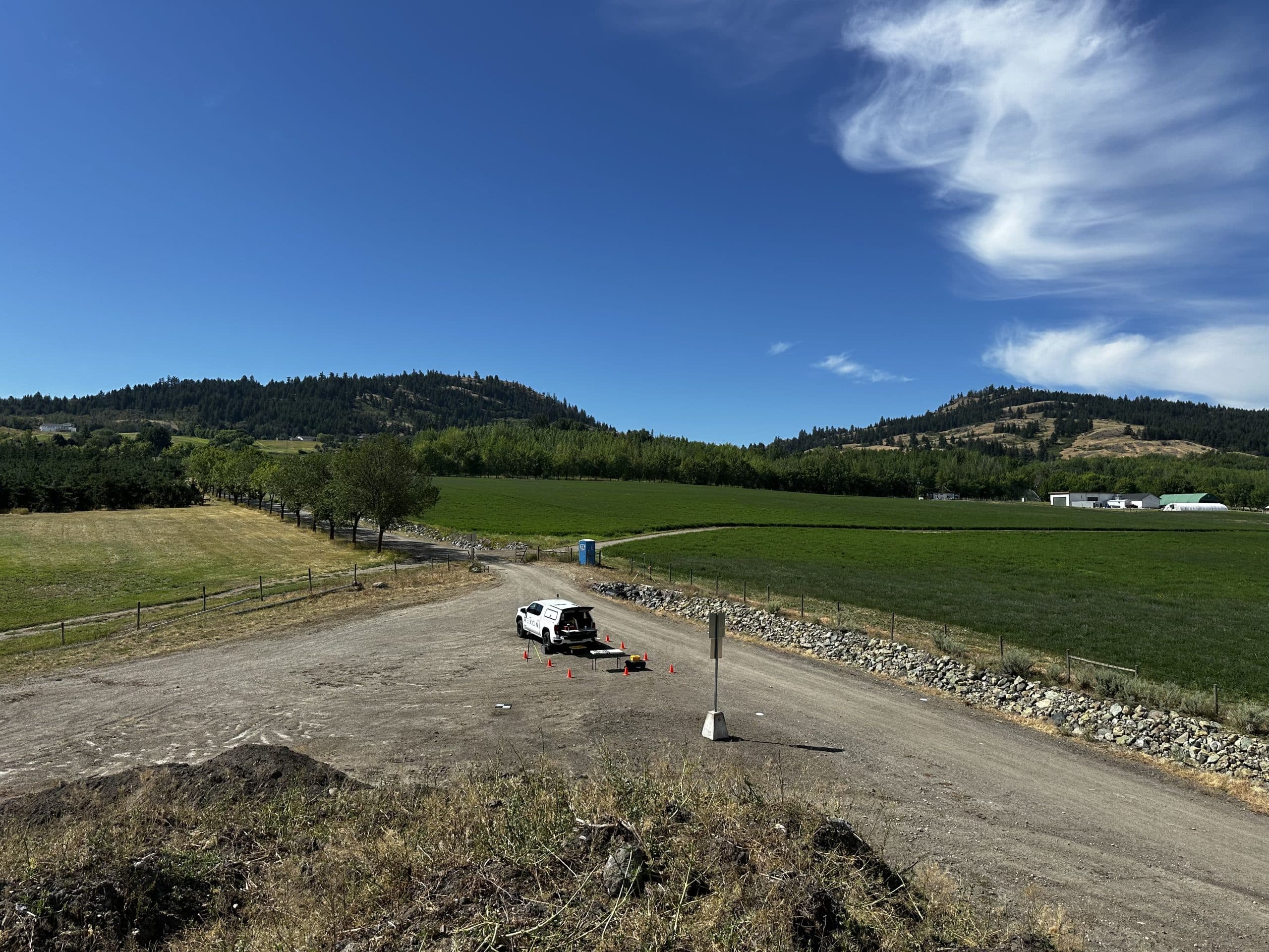
We understand that landfills and transfer stations need consistent monitoring and precise volumetrics. That’s where Rekon drones can help operators track fill levels, spot erosion, and plan confidently. With drone-based LiDAR, you’ll get complete site models and insights in hours, not days.
Get Coverage Without the Downtime
Our RPAS surveys scan entire sites safely and fast, reducing inspection risks. So we can deliver DSMs, contours, and stockpile volumes to keep your operation ahead of planning and compliance.
