If you’ve read a survey proposal and hit a wall of acronyms — RTK, PPK, GCPs — you’re not alone. These three terms decide whether your survey data can be trusted, yet the RTK vs PPK question (and where ground control fits) is rarely explained in plain language. So let’s fix that, because picking the wrong approach means either overspending or ending up with data that won’t hold up.
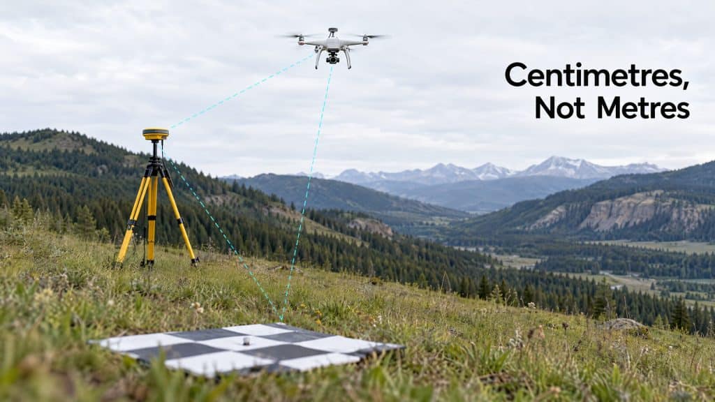
All three solve the same core problem: a drone needs to know exactly where it was for every point it captured. A regular GPS chip is accurate to a few metres — nowhere near good enough for survey work. RTK, PPK, and ground control are the three ways to get from “a few metres” to “a few centimetres.”
Ground Control Points (GCPs): the old-school anchor
A GCP is a physical, marked target placed on the ground, whose exact position is measured with survey-grade equipment. The drone photographs these targets, and during processing the data is “pinned” to those known points.
Strengths: Proven, independently verifiable, and they give you check points to confirm accuracy.
The catch: Someone has to physically place and measure every target across the site. On a large, steep, or hazardous site, that’s slow, expensive, and sometimes dangerous — which is a big part of why drone surveying exists in the first place. Walking a crew across an unstable slope to plant targets somewhat defeats the purpose.
RTK: corrected in real time
RTK (Real-Time Kinematic) puts a correction signal into the drone while it’s flying. A base station (or a network) feeds live corrections, so the drone records centimetre-level positions in the moment.
Strengths: Little to no ground control needed, fast turnaround, less time on site.
The catch: It depends on a stable radio or network link during flight. Lose the signal in a deep valley or remote backcountry — exactly the terrain we work in most — and your corrections drop out.
PPK: corrected afterward
PPK (Post-Processed Kinematic) collects the same high-precision data but applies the corrections after the flight, in processing. The drone and base station each log their data, and the two are matched up later.
Strengths: No need for a live link during flight, which makes it far more robust in remote or signal-poor areas. Often the most reliable choice for rugged, disconnected sites.
The catch: You don’t get positions in real time — but for survey deliverables, that almost never matters.
RTK vs PPK vs ground control: which one do you need?
Here’s the honest, field-tested version:
- Open, accessible site with good signal? RTK is fast and efficient.
- Remote, rugged, or signal-poor terrain? PPK is usually the more dependable choice.
- Highest-stakes accuracy, or a client who requires independent verification? Use ground control — often alongside RTK or PPK as check points, not instead of them.
And that last point is the one most people miss: it’s not always either/or. The most rigorous surveys combine methods — PPK for efficiency, plus a handful of GCPs as an independent accuracy check. Belt and suspenders.
The right answer comes down to your terrain, your accuracy requirements, and who needs to trust the result. If you’re not sure, that’s genuinely our favourite kind of question to help with — because getting this decision right upfront is what makes the final data defensible.
Not sure which method fits your site? Let’s figure it out together →