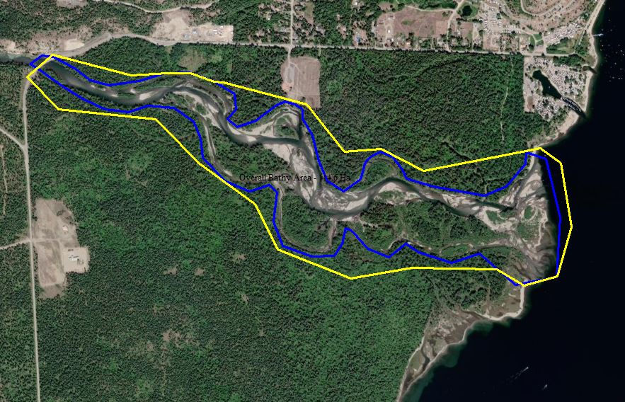
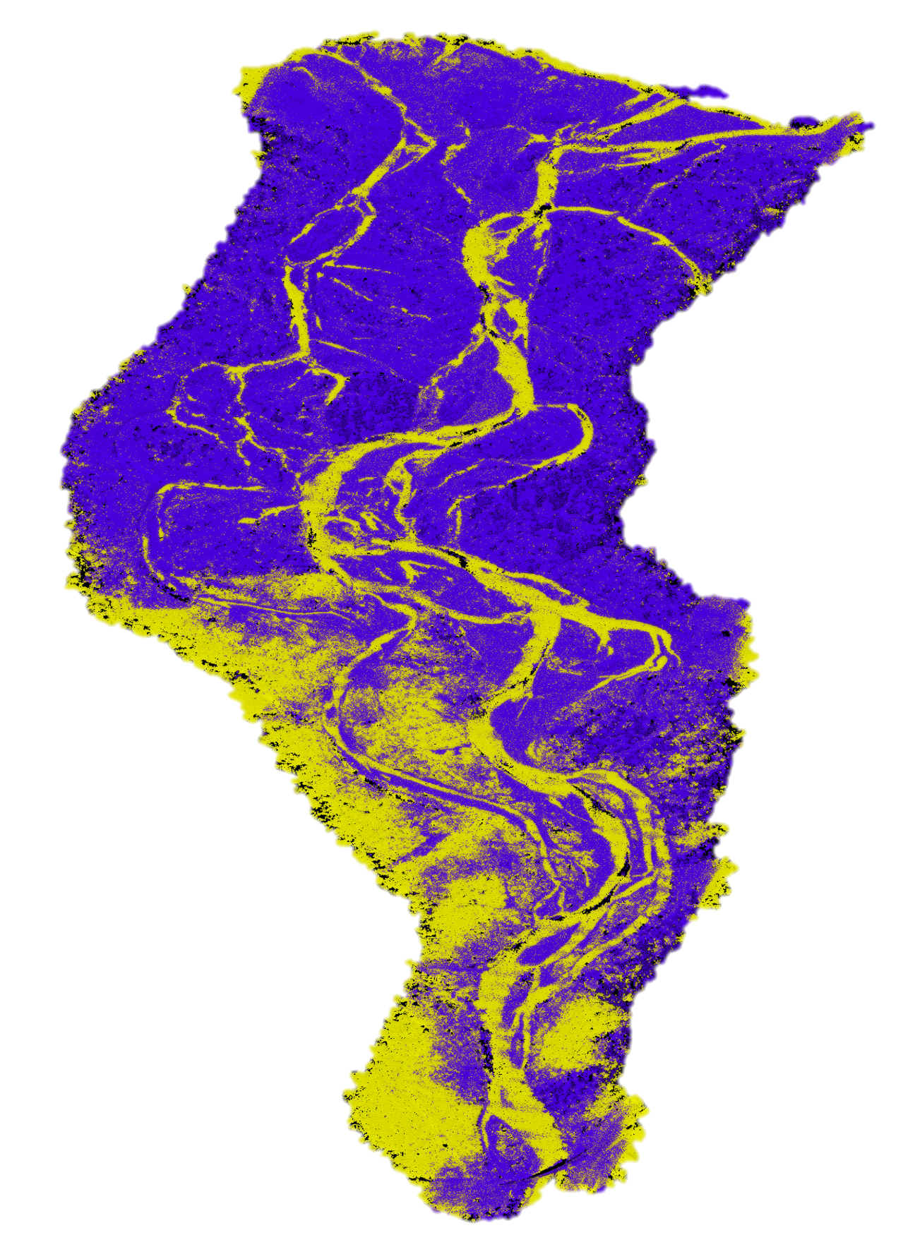
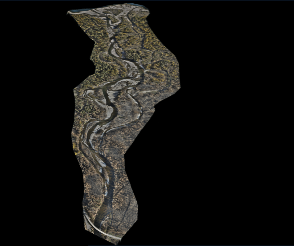
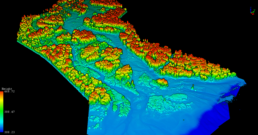
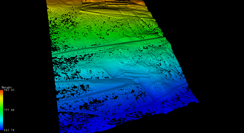
To support the hydrological study, we deployed a multi-layered mapping solution:
- LiDAR: Captured ground surface under dense tree cover
- Photogrammetry: Delivered ultra-high-resolution orthoimagery
- Bathymetry: Surveyed the riverbed to “fill in” elevation data that LiDAR can’t reach underwater
We used a Bathycat USV (Unmanned Survey Vehicle) equipped with a high-precision echo sounder and RTK GPS. The swift current and submerged hazards made the mission difficult—but manual piloting, safety coordination with local experts, and river-running experience kept the mission on track.