For massive, remote mine sites, drone deployment isn’t always feasible. Rekon partnered with a trusted airborne LiDAR provider to collect elevation data across 1950 hectares—processing everything in-house to deliver seamless, design-ready outputs for feasibility planning.
The client needed high-resolution LiDAR data across an enormous 1950-hectare (19.5 km²) area to inform a mining feasibility study. The terrain was remote and inaccessible, making drone deployment time-consuming and cost-prohibitive.


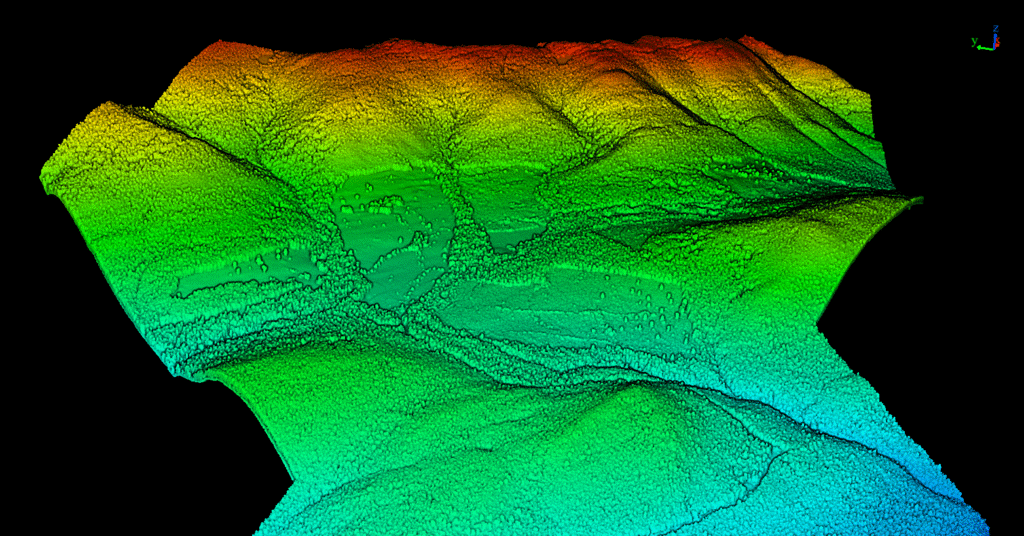
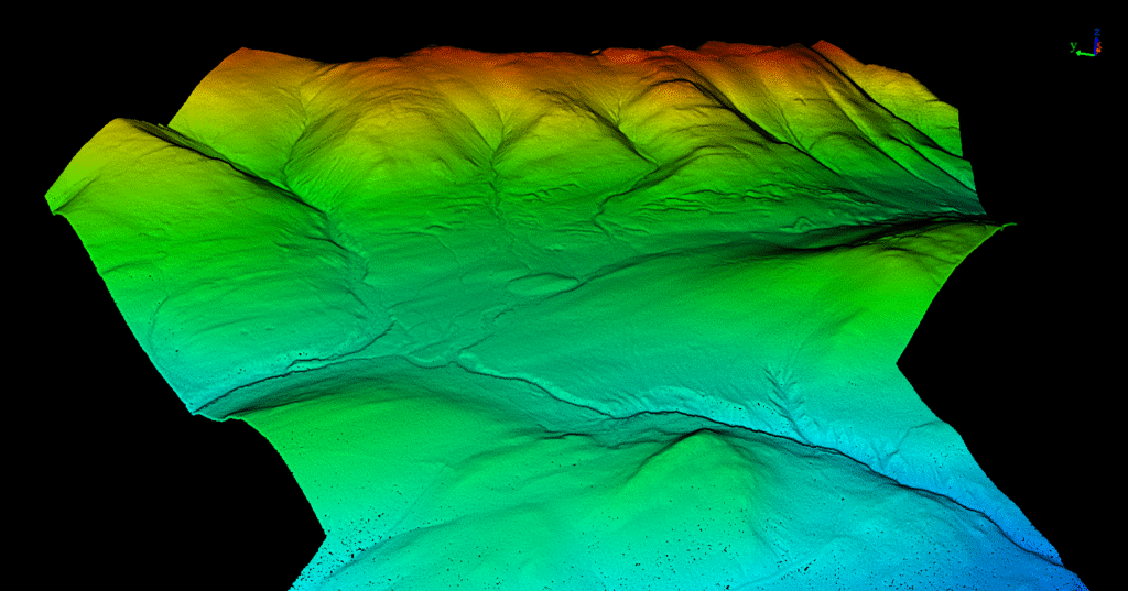
We coordinated a fixed-wing airborne LiDAR mission through a trusted subcontractor, ensuring their collection met our strict accuracy standards. Once collected, Rekon processed the data in-house using our standard workflow to deliver seamless results aligned with our usual drone-based outputs.
Given the remote location and vast coverage area, we quickly determined that drone LiDAR wouldn’t be economical. Instead, we planned for aerial LiDAR from a manned aircraft—ensuring access to every part of the terrain without the limitations of ground-based launch logistics.


From forests to highways, our drone and LiDAR solutions deliver accuracy, speed, and peace of mind. Let’s talk about your project Now.
Get high-resolution LiDAR fast, and move forward with confidence.