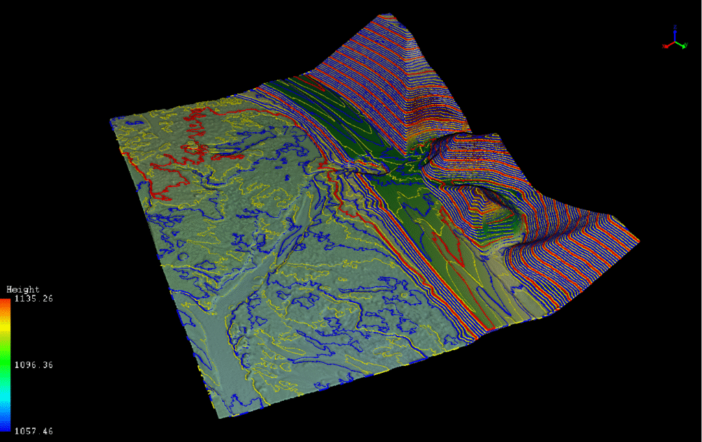
When disaster strikes, time is everything. Rekon mobilized fast after catastrophic floods shut down a critical section of BC’s Highway 5. By using drone LiDAR and inspection drones—launched via helicopter—we captured the necessary terrain and structural data to support emergency engineering within hours.
A major section of BC’s Highway 5 was shut down due to severe flooding, landslides, and collapsed bridges—cutting off a critical transport artery between the Lower Mainland and the Interior. The client urgently needed high-resolution terrain data and inspection visuals to begin designing a temporary fix within days—not months.


We deployed high-resolution drone LiDAR and inspection drones—accessing five washout and bridge collapse sites by helicopter. Working alongside structural and geotechnical engineers on-site, we captured the data under intense time pressure, delivering it in record time to jumpstart the redesign process.
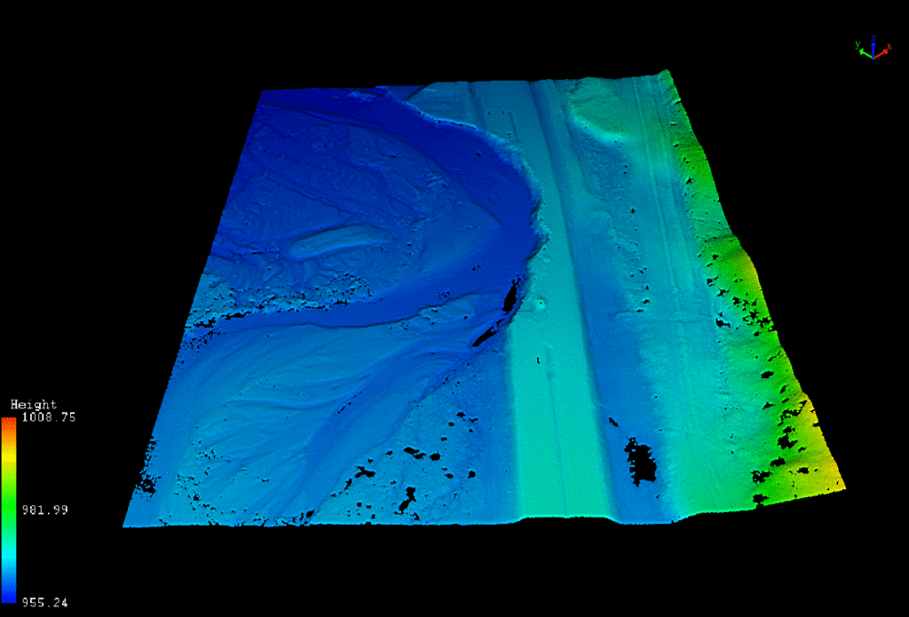
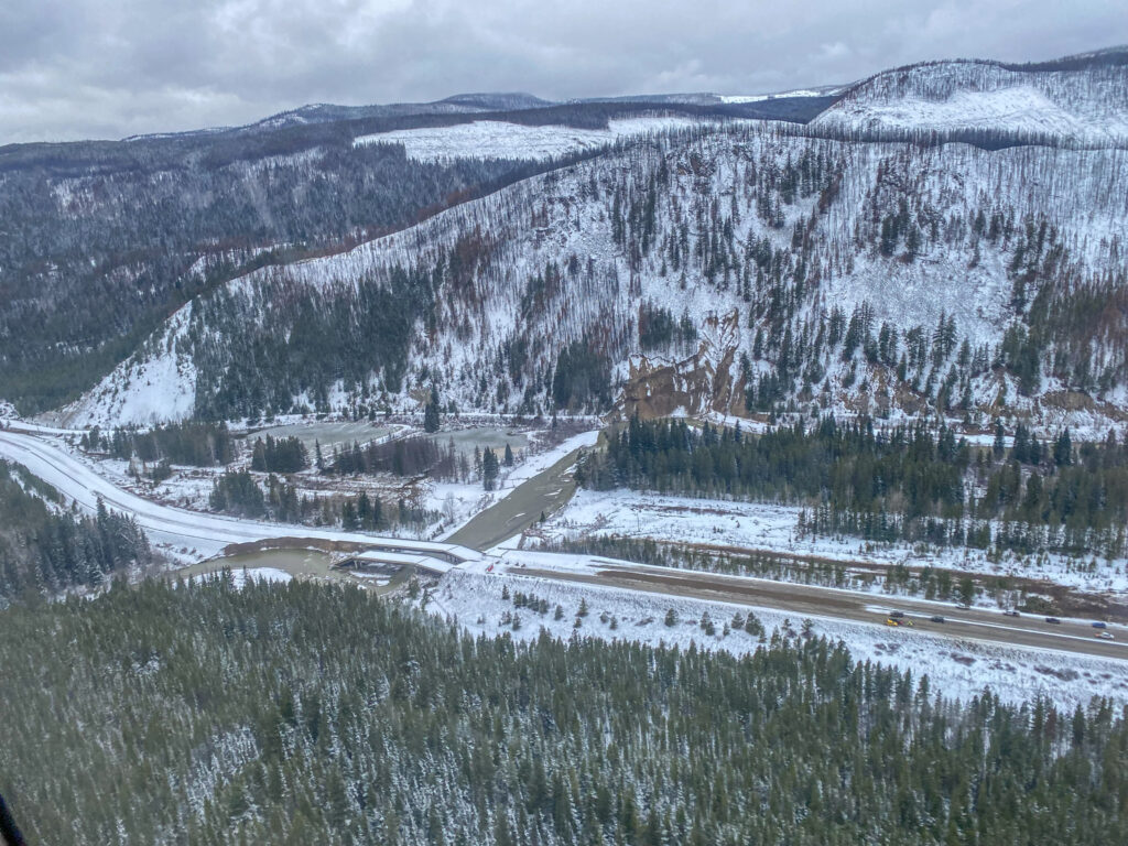
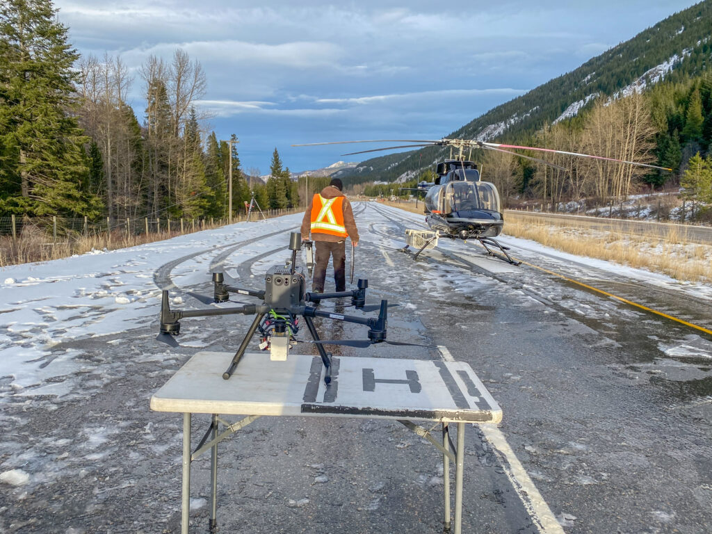
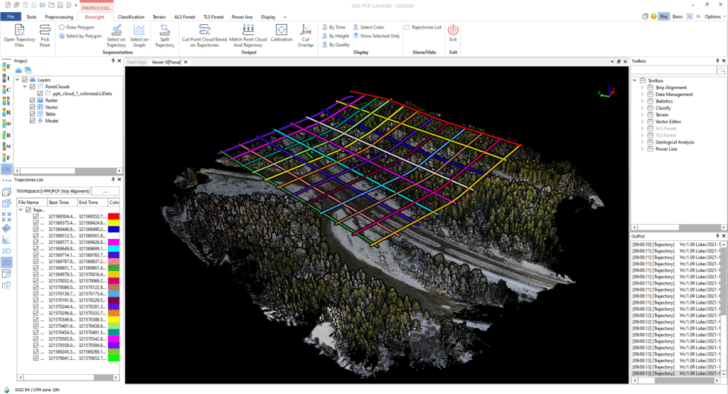
The client had a clear scope: LiDAR mapping and drone inspections to support fast-track engineering solutions. But with all ground routes inaccessible, we rapidly pivoted to a helicopter-based plan—mapping access, prepping flights, and coordinating with field engineers to ensure efficient site execution.


From forests to highways, our drone and LiDAR solutions deliver accuracy, speed, and peace of mind. Let’s talk about your project Now.
Get high-resolution LiDAR fast, and move forward with confidence.