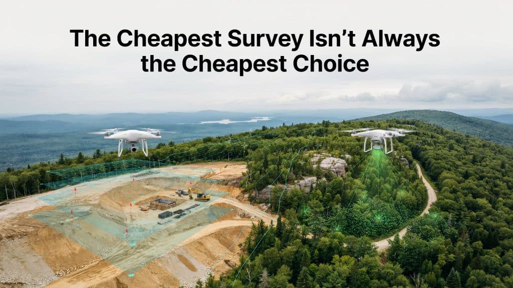
LiDAR vs photogrammetry cost is the first question most teams ask. However, the cheapest option on paper can quietly become the most expensive.
You choose photogrammetry to save money upfront. Then vegetation hides the ground, and your data falls apart.
Consequently, you pay twice, once for the flight and again for the fix. Indeed, rework is where the real damage hides.
For example, the Construction Industry Institute found rework averages over 12 percent of project cost, per CII.
Therefore, the smart move is matching the method to the site from the start. Let me show you how to sidestep this costly mistake.
Photogrammetry vs LiDAR, what is the difference?
First, let’s be clear on how the two methods actually differ. Photogrammetry builds detailed 3D models from overlapping photos.
LiDAR, by contrast, fires laser pulses and times how they return. Consequently, it can reach the ground even through small gaps.
In practice, photogrammetry surveying captures whatever the camera can see. LiDAR surveying captures whatever the laser can reach, which is often more.
Moreover, we compare the two head to head in our guide on photogrammetry vs LiDAR.
How do the costs compare?
Now for the number everyone genuinely cares about. Photogrammetry survey cost is usually lower, and that is its main appeal.
You need only a camera and software, so the barrier stays low. LiDAR survey cost runs higher, because the sensors are expensive. Furthermore, LiDAR keeps getting cheaper each year. Nevertheless, it still sits above photogrammetry on price.
Therefore, on open ground and tight budgets, photogrammetry often wins. However, that headline LiDAR vs photogrammetry cost gap can be misleading.
Indeed, the cheaper survey is only cheaper if it actually works.
Which one is more accurate?
Accuracy is where this comparison gets genuinely interesting. On open, bare ground, both methods perform impressively well.
For example, a study measured photogrammetry at about 2.5 cm accuracy, per research in Drones.
However, that number assumes the camera can see the ground clearly. Moreover, photogrammetry accuracy drops sharply on shaded or uneven ground. By contrast, LiDAR holds its accuracy where photogrammetry starts to struggle.
Thus, the real LiDAR vs photogrammetry accuracy gap depends entirely on your site.
How do site conditions change the answer?
This is the part that too many teams quietly overlook. The right choice depends heavily on your specific site.
On flat, open, hard surfaces, photogrammetry is often plenty. For example, quarries and cleared fields suit it nicely. Conversely, on complex or hidden terrain, LiDAR pulls ahead fast.
Therefore, knowing when to use LiDAR vs photogrammetry saves you real money. Moreover, that one decision shapes your whole LiDAR vs photogrammetry cost outcome.
Why does vegetation break photogrammetry?
Here is the classic trap that catches so many projects. A camera can only ever map surfaces it can actually see.
Consequently, under trees or brush, photogrammetry maps the canopy, not the ground. Indeed, this is one of the biggest photogrammetry limitations by far.
As a result, you get photogrammetry inaccurate data exactly where you needed the true surface. LiDAR, however, slips through gaps in the leaves to read the bare earth.
Furthermore, we show how well it copes in how LiDAR performs in dense forest and mountain terrain.
What does the wrong choice really cost?
Now we reach the hidden cost this whole article is about. The wrong survey method cost rarely shows up in the first invoice.
Instead, it surfaces later as rework, delays, and redesign. Because of this, photogrammetry limitations cost far more than the money you saved.
Therefore, a bad survey can blow past that 12 percent rework figure with ease. As a result, the LiDAR vs photogrammetry cost you avoided returns with interest. Consequently, the true price includes every dollar of that cleanup.
When is LiDAR worth the extra cost?
So when should you simply pay more for LiDAR? The answer is clearer than you might expect.
Choose LiDAR whenever vegetation, complex terrain, or tight tolerances are involved. Additionally, choose it when a single error would be painful to fix. Similarly, lean on LiDAR for legal or engineering grade work.
Conversely, stick with photogrammetry on open, simple, low risk sites. In that case, the extra spend is not worth paying.
Ultimately, the goal is not the cheapest survey, but the cheapest correct one.
Frequently asked questions
How expensive is it to use LiDAR?
LiDAR usually costs more upfront, which drives the LiDAR vs photogrammetry cost debate. However, it often saves money overall by preventing rework.
Is LiDAR more accurate than photogrammetry?
On open ground, the two are broadly comparable. Under vegetation or complex terrain, however, LiDAR is clearly more accurate.
Is LiDAR 100% accurate?
No survey method is perfect, and LiDAR is no exception. Nevertheless, with good planning it reaches centimetre level accuracy.
Why is LiDAR so expensive?
The sensors are precise and complex, which raises the price. Consequently, you pay more for hardware, processing, and expertise.
Pay for the survey that actually works
To conclude, the LiDAR vs photogrammetry cost question has a simple answer. Choose the method that fits your site, not just your budget.
Although photogrammetry is cheaper, it fails wherever the ground hides. Consequently, on those sites, LiDAR is the true bargain.
On the whole, matching the method to the job prevents expensive surprises. Therefore, you protect your budget, your timeline, and your reputation.
If you are unsure which one your project needs, we can help. Tell us about your site, and Rekon Solutions will recommend the right fit.