Why LiDAR is the Ultimate Choice for Mapping Vast Landscapes
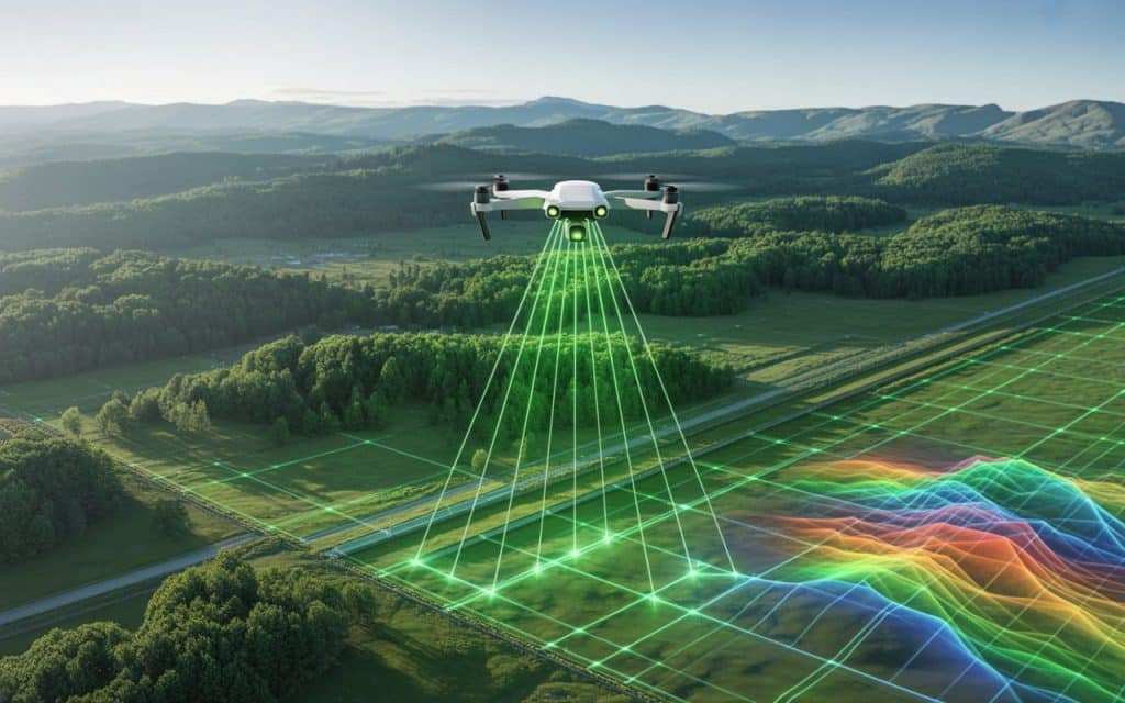
When projects stretch across forests, highways, pipelines or remote terrain, accuracy and efficiency become critical. Traditional mapping methods often struggle with scale vegetation and accessibility. This is where lidar mapping stands out as a powerful solution. Across Canada and other large land regions, industries rely on lidar mapping to capture high accuracy elevation data over vast and complex landscapes. From forestry corridors to infrastructure planning, LiDAR delivers consistent and dependable results where other methods fall short. What makes LiDAR different from traditional mapping methods Traditional mapping often relies on cameras or ground based surveying. These approaches depend on clear visibility and physical access to the site. LiDAR works differently. It uses laser pulses to measure the distance between the sensor and the ground. Each pulse creates a precise point in space. Millions of these points combine to form a detailed three dimensional representation of the landscape. This lidar point cloud data allows engineers, planners and environmental teams to understand terrain conditions without needing extensive ground access. How lidar mapping works The lidar mapping process begins with a sensor mounted on a drone aircraft or ground vehicle. The sensor emits thousands of laser pulses per second toward the surface below. Each pulse reflects back to the sensor. The system records the time it takes for the pulse to return. This timing converts into a precise distance measurement. When these measurements are combined with GPS and orientation data, they form an accurate digital model of the terrain. This process is commonly used in airborne lidar survey operations where large areas must be covered quickly and safely. The advantage of LiDAR for large area mapping Large scale projects present unique challenges. Terrain may be uneven, remote or covered with dense vegetation.Large area mapping requires a technology that can capture accurate data without requiring physical access to every point on the ground. LiDAR excels in these conditions. Its laser pulses can pass through gaps in vegetation and reach the ground surface. This makes it ideal for forests, river valleys and mountainous terrain. In contrast camera based methods may only capture the top of the canopy rather than the true ground elevation. Learn about: LiDAR scanners, accuracy and real-world uses. High accuracy elevation data for critical decisions Many industries rely on high accuracy elevation data to make important decisions. Even small elevation errors can lead to costly problems in design and planning. LiDAR produces consistent vertical accuracy across large areas. This makes it valuable for applications such as Road and rail corridor planning Flood risk analysis Forestry management Mining site evaluation Infrastructure development With terrain mapping lidar systems, engineers can analyze slope drainage patterns and elevation changes with confidence. Reliable results in forested and remote regions Canada contains vast forested regions where traditional mapping methods struggle. Dense tree cover often hides the ground surface from cameras. LiDAR solves this problem by capturing multiple returns from each laser pulse. Some returns come from tree branches while others reach the ground. This capability allows accurate terrain models even in heavily wooded areas. For forestry planning pipeline routing and environmental studies this level of detail is essential. Faster coverage over expansive terrain Speed matters when mapping large landscapes. Ground surveying can take weeks or months to cover remote or rugged areas. Airborne lidar survey systems can map the same regions in a fraction of the time. Drones and aircraft collect data quickly while maintaining high accuracy. Faster data collection means: Reduced project timelines Lower labor costs Less disruption to the environment Quicker decision making for project teams For infrastructure and resource projects this efficiency can make a significant difference. Consistent performance across lighting conditions Camera based mapping depends on lighting and surface contrast. Poor light or uniform surfaces can reduce accuracy. LiDAR does not rely on visible light. It measures distance using laser pulses. This allows it to perform consistently in different lighting conditions. Whether the terrain is rocky forested or shadowed by infrastructure, lidar mapping delivers dependable results. Supporting infrastructure and environmental planning Large scale infrastructure projects require precise terrain data. Highways rail lines transmission corridors and pipelines all depend on accurate elevation models. LiDAR provides the foundation for these projects. Engineers use the data to design routes, analyze slopes and identify potential hazards. Environmental teams also benefit from lidar mapping. It helps assess flood plains wetlands and habitat conditions across wide regions. By delivering reliable data across large landscapes, LiDAR supports both development and conservation goals. Why LiDAR often becomes the preferred choice When comparing mapping technologies for large landscapes, LiDAR consistently stands out. It offers Accurate ground elevation beneath vegetation Fast data collection over large areas Reliable results in complex terrain Consistent performance regardless of lighting These advantages make lidar mapping a strong choice for forestry infrastructure construction and environmental projects. Across Canada, teams working in remote or challenging environments often turn to LiDAR for dependable terrain data. Rekon Solutions supports these projects by delivering precise mapping services tailored to real world conditions.Get in touch here. FAQs What makes LiDAR advantageous over traditional cameras in mapping terrain? LiDAR measures distance using laser pulses rather than relying on visible images. This allows it to capture accurate ground data even under vegetation or in low light conditions. What is LiDAR in landscaping? In landscaping and land development, LiDAR is used to create detailed terrain models. These models help with grading drainage planning and site design. What is the main advantage of LiDAR over photogrammetry? The main advantage is its ability to capture accurate elevation data beneath vegetation and across complex terrain. Why is LiDAR so important? LiDAR provides reliable high accuracy elevation data over large areas. This helps engineers, planners and environmental teams make informed decisions. How does LiDAR mapping work? A LiDAR sensor sends laser pulses toward the ground and measures how long they take to return. These measurements create a detailed three dimensional terrain model. How accurate are LiDAR maps? LiDAR maps can achieve centimeter level accuracy depending on equipment and survey conditions.
Why Bare-Earth Mapping is Crucial for Reliable Data
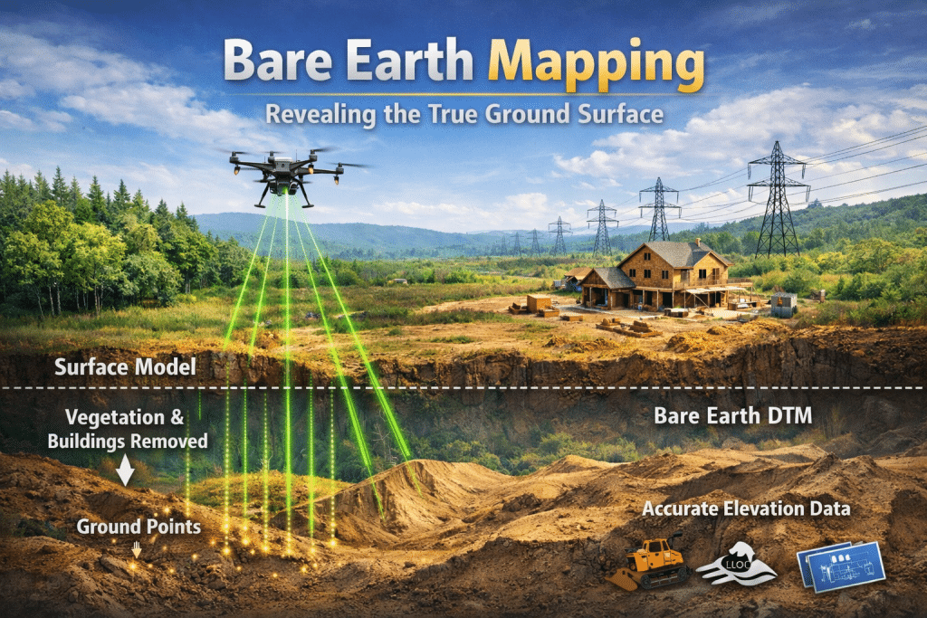
Across industries, reliable terrain data is becoming more critical than ever. Projects depend on accurate elevation information, yet surface clutter often distorts results. This is why many teams struggle with inconsistent mapping outcomes. Bare earth mapping solves this challenge by revealing the true ground surface. It removes vegetation and surface noise to deliver dependable terrain data. When decisions rely on elevation accuracy, this approach becomes essential. Many professionals already depend on clean terrain models for planning. They use this data to reduce risk and improve project confidence. If accuracy matters to you, understanding bare earth mapping is important. What is bare earth mapping? Bare earth mapping focuses on extracting the true ground surface from elevation data. It removes vegetation, buildings, and surface objects from terrain models. This allows you to see land elevation as it actually exists. LiDAR technology plays a central role in bare earth mapping workflows. Laser pulses penetrate vegetation and return multiple elevation signals. Ground returns form the basis of accurate terrain analysis. The result is a clear representation of land elevation without surface interference. This representation supports engineering, environmental, and infrastructure decisions. Without it, terrain data often remains misleading. Why is surface data alone not enough? Surface models include everything visible from above. This includes vegetation, structures, and temporary objects. Although it is useful visually, these models hide true elevation details. When terrain data includes surface clutter, measurements become unreliable. Slopes, drainage paths, and elevation changes may appear incorrect. This creates uncertainty during the planning stages. Bare earth mapping removes this uncertainty by isolating ground elevation only. That clarity improves confidence in every downstream decision. How does lidar bare earth mapping work? LiDAR sensors emit thousands of laser pulses toward the ground each second. Some pulses reflect off vegetation, while others reach the terrain surface. These multiple returns create layered elevation data. Ground point classification separates terrain points from non ground features. Algorithms identify which returns represent true ground elevation. This step is critical for accurate results. After classification, vegetation and structures are removed from the dataset. The remaining data represents the bare earth surface. This enables precise terrain analysis. The role of ground point classification Ground point classification determines which data points represent terrain accurately. It filters out vegetation and builds structures using automated processes. Accuracy here directly affects final mapping quality. Whereas, poor classification can distort slopes and elevation profiles. This leads to incorrect assumptions during planning; and, such errors are difficult and expensive to correct later. Accurate ground point classification ensures reliable terrain representation. It allows you to trust elevation values used for analysis. That trust is essential for decision making. Understanding digital terrain model (DTM) A digital terrain model DTM represents the bare earth surface digitally. It contains elevation values without vegetation or surface features. This makes it ideal for technical analysis. DTMs support slope analysis, drainage modeling, and infrastructure design. They are widely used in environmental and engineering projects. Accuracy at this level is crucial. Bare earth mapping forms the foundation of a reliable DTM. Without clean ground data, DTMs lose analytical value. Precision always starts at ground level. Why terrain mapping accuracy matters Terrain mapping accuracy directly affects how projects are designed and executed. Even small elevation errors can cause drainage or grading issues. These mistakes often lead to delays and added costs. Accurate terrain data supports safer and more efficient planning. Designs align better with real site conditions. This reduces unexpected challenges during construction. Bare earth mapping significantly improves terrain mapping accuracy. It removes misleading surface information. This leads to better project outcomes. Vegetation removal lidar and its impact Vegetation removal lidar allows ground visibility beneath dense vegetation. Forested and heavily covered areas become measurable and analyzable. This was difficult with traditional mapping methods. Laser pulses penetrate gaps in vegetation and return ground reflections. Multiple returns reveal both canopy and terrain layers. This makes LiDAR effective in complex landscapes. By applying vegetation removal lidar techniques, true terrain becomes visible. Ground elevation emerges accurately across sites. This supports reliable mapping results. Learn more about UAV Drone surveying accuracy. How bare earth mapping supports better planning Effective planning depends on understanding terrain without visual distortion. Bare earth mapping provides consistent clarity across different environments. It removes assumptions caused by surface interference. Engineers use terrain models to design roads, foundations, and drainage systems. Environmental teams assess flood risk and erosion patterns accurately. Reliable data prevents costly redesigns. When planning is based on accurate terrain data, confidence increases. Decisions become data driven rather than speculative. This benefits every project stage. Improving data quality through mapping Data quality improves when mapping reflects actual ground conditions. Bare earth mapping eliminates distortion caused by vegetation and surface objects. This creates a cleaner dataset. Reliable mapping supports better analysis and reporting. It reduces rework caused by incorrect assumptions. Quality data leads to better outcomes. When data quality improves, overall project efficiency improves as well. Teams trust the information they receive. This saves time and resources. Applications across industries Bare earth mapping supports a wide range of industries. Construction teams use it for grading and site preparation. Environmental professionals rely on it for watershed analysis. Infrastructure planning depends on accurate elevation data. Utilities use terrain models for corridor planning. Each application relies on precision. LiDAR bare earth mapping adapts to diverse environments. It delivers consistent results across terrain types. That versatility makes it widely valuable. Choosing the right mapping approach Not all mapping methods deliver the same accuracy. Surface models may look impressive visually. However, they often hide critical terrain details. Bare earth mapping focuses on usable and reliable data. It prioritizes accuracy over appearance. This aligns better with operational needs. When selecting mapping services, accuracy should guide decisions. Clean terrain data matters more than visuals. That distinction is important for you. Rekon approach to reliable terrain data At Rekon Solutions, bare earth mapping is designed for dependable terrain analysis. The focus remains on clean ground data and consistent accuracy. This ensures outputs support confident planning and
Land Surveying Drones: A Smarter Alternative to Traditional Survey Methods
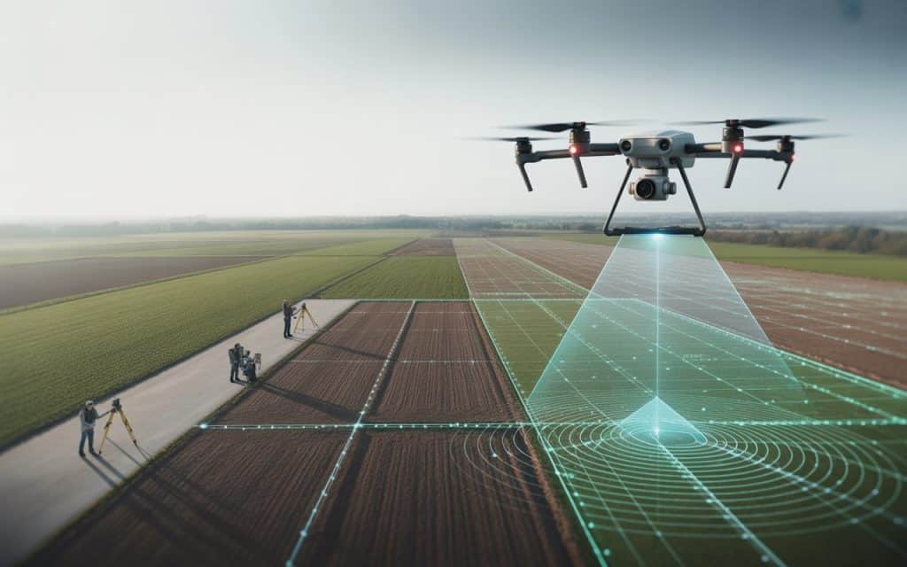
The world of land surveying is undergoing a significant transformation, with land surveying drones leading the charge. These advanced technologies are making surveys faster, more efficient, and much more accurate. In industries like construction, agriculture, and real estate, surveying with drones is quickly becoming a smarter alternative to traditional survey methods. If you’re wondering how drones are changing the surveying industry and why they’re becoming a must-have tool for professionals, read on. In this blog, we will explore what land surveying drones are, how they work, and why they’re the future of land surveys. We’ll also dive into their key benefits and the industries that are reaping the rewards. What Are Land Surveying Drones? Land surveying drones are unmanned aerial vehicles (UAVs) equipped with cameras, sensors, and GPS technology designed to capture detailed land data from above. These drones fly over a survey area and use specialized equipment like high-resolution cameras or LiDAR sensors to collect visual and spatial data. Drone land surveys are then processed using advanced software to generate maps, 3D models, and other geospatial data. With these drones, surveyors can capture high-quality imagery and precise measurements without having to walk the land themselves or set up expensive equipment like scaffolding or cranes. Compared to traditional surveying methods, UAV land mapping using drones is much faster and more cost-effective. Drones can survey large areas in a fraction of the time and deliver highly accurate results with less manpower involved. How Do Land Surveying Drones Work? Land surveying drones are typically equipped with cameras and sensors, including LiDAR (Light Detection and Ranging), which uses laser pulses to measure distances to objects on the ground. This technology creates a 3D point cloud of the area, providing detailed measurements of terrain, vegetation, and man-made structures. The drone is programmed to follow a pre-determined flight path to capture images or data points. The UAV is controlled by a trained operator, but the technology allows for autonomous flights, ensuring greater accuracy and precision in data collection. Once the flight is completed, the captured data is processed using software. For example, photogrammetry software stitches together aerial images into a high-resolution map. And LiDAR data creates precise digital terrain models (DTMs) and digital surface models (DSMs). The result is a detailed 2D or 3D map of the area being surveyed, which is then used by surveyors, engineers, and planners for further analysis and decision-making. Why Are Land Surveying Drones Better Than Traditional Methods? 1. Faster Data Collection One of the main advantages of surveying with drones is the speed at which data can be collected. In the past, traditional land surveys would require teams of surveyors to walk the land, take manual measurements, and record data. This process could take days or even weeks, depending on the size of the area being surveyed. With land surveying drones, large areas can be surveyed in a matter of hours, significantly reducing the time required to gather the necessary data. Drones can cover areas that would take teams of workers much longer to survey, and they can do so in just one flight. 2. Improved Accuracy Drone survey technology allows for UAV land mapping with incredible precision. Drones are equipped with GPS systems that ensure measurements are accurate to within a few centimeters. Advanced sensors, like LiDAR, capture data points with a level of detail that traditional surveying methods simply can’t match. With GIS drone mapping, the accuracy of the data improves because drones can capture images and measurements from the air, eliminating the risk of human error that can occur in manual data collection. The use of GPS and LiDAR technology ensures that the data collected is highly precise and reliable. 3. Cost-Effective In traditional land surveys, the cost can quickly add up. Surveyors need to use expensive equipment, hire additional labor, and sometimes even shut down work sites to perform their surveys. These costs can be prohibitive for smaller projects or businesses. In contrast, land surveying drones are a more affordable option. While drones may require an initial investment, their ability to perform surveys more quickly and with fewer people involved makes them a cost-effective alternative. With drones, businesses can reduce labor costs, avoid the need for expensive equipment, and complete surveys in less time, ultimately saving money. 4. Safety Benefits Land surveys often require workers to enter hazardous areas, such as tall buildings, steep slopes, or unstable terrain. This exposes surveyors to significant risks, such as falls or accidents with heavy equipment. UAV land mapping eliminates much of this risk by allowing surveyors to collect data from the safety of the ground. Drones can easily fly over difficult or dangerous areas, gathering all the necessary data without putting workers in harm’s way. This makes drones an invaluable tool for industries like construction, mining, and infrastructure, where safety is a top priority. 5. Easier Monitoring and Repeat Surveys Once land surveying drones have been used to map an area, it’s easy to repeat the survey at any time. With traditional methods, re-surveying a site might involve mobilizing a full team and equipment to go back to the location. With drones, surveys can be repeated quickly, giving businesses the ability to monitor progress and track changes over time. For example, in large construction projects, drones can be flown regularly to monitor how the site is changing. These frequent updates help ensure that projects stay on schedule and within budget. Industries That Benefit From Land Surveying Drones 1. Construction In construction, drone land surveys are used to assess sites, plan projects, and track progress. With high-quality aerial data, construction teams can make more informed decisions about excavation, grading, and building placement. Drones are particularly useful for tracking the progress of large-scale projects. Construction managers can use surveying with drones to compare the actual progress with the original plans and identify potential issues before they become costly problems. 2. Agriculture UAV land mapping is also beneficial in agriculture. Farmers use drones to monitor crop health, assess irrigation needs,
UAV Surveying Explained: How Drone Surveys Deliver High Accuracy Mapping
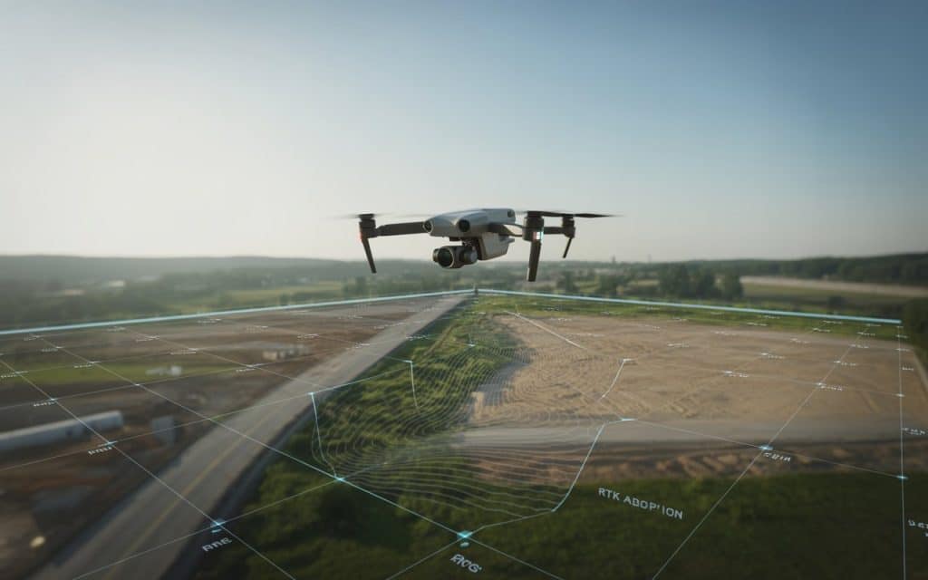
Have you ever wondered how professionals gather detailed and accurate maps so quickly? The answer lies in UAV surveying. UAV surveying uses unmanned aerial vehicles, or drones, to collect data from the air. These drones can create high quality maps faster and with more detail than traditional methods. In this blog, we will explore how UAV surveying works and why drone survey accuracy is so highly valued. You will also understand how these systems are changing land surveys and mapping workflows. What Exactly Is UAV Surveying? UAV surveying involves using drones to collect data about the land. Drones fly over an area and take pictures or laser measurements, and then this data is processed into maps and 3D models. Some drones use cameras that take pictures from every angle. The software processes these images to create a detailed map. Other drones use lasers, which is called LiDAR, to measure distances accurately. These are both useful tools in UAV mapping services. Once processed, these maps can show the shape, slope, and features of a piece of land, allowing professionals to plan projects and make decisions more effectively. How UAV Surveying Works? A drone is programmed to fly over a survey area. The flight paths are planned so the drone captures images that overlap, ensuring no area is missed. After the drone collects all the data, the images and measurements are processed by special software. This software compares data points and creates a detailed map. In some cases, the result is a simple 2D map, while in others it’s a 3D model of the land, showing hills, valleys, roads, and buildings in great detail. The data is often so accurate compared to traditional surveys that it can be used in situations where high precision is critical. Why Is Drone Survey Accuracy Important? When it comes to drone survey accuracy, you might wonder whether drones can match traditional land surveys in terms of precision. The answer is yes. Drone survey accuracy can be just as high, if not better, than conventional methods. Accuracy depends on the sensor quality and the data processing. Some drones are equipped with RTK (Real-Time Kinematic) or PPK (Post-Processed Kinematic) GPS systems. These systems correct GPS signals, improving the location accuracy to within centimeters. According to a report by ScienceDirect, LiDAR surveys from drones offer comparable or even higher accuracy than traditional GNSS RTK land surveys when both use proper control points. This makes UAV surveying a reliable solution for many industries that require high-precision data. 3 Common Types of UAV Surveys UAV Land Survey A UAV land survey is typically the first step in planning construction or development projects. Drones fly over property and collect data on boundaries, features, elevation, and ground texture. Surveyors can then use this data to create maps for architects or engineers. Because drones collect data faster than teams on foot, project timelines are shortened, and operations get started sooner. There’s also less need for workers to climb over rough terrain or difficult landscapes. Topographic Drone Survey A topographic drone survey shows the height and shape of the land. This is especially useful for projects like land grading, road design, and earthworks. Drones can quickly produce digital terrain models and digital surface models. They show both ground and surface features, including buildings and trees. Traditional surveys could take days to complete. With drones, this process can now be done in just a few hours, saving a lot of time. Aerial Land Survey An aerial land survey captures data from above, helping surveyors see large areas at once. It’s great for getting a big picture of a site before taking precise measurements. For example, a large industrial site or a property development project can be assessed with a quick aerial land survey. This provides valuable insight into the layout, boundaries, and features of the area, giving teams the information they need to plan effectively. 5 Key Benefits of UAV Surveying Faster Data Collection One of the biggest advantages of UAV surveying is the speed at which data can be collected. Instead of survey crews spending days or weeks walking the land, drones can cover a large area in just a few hours. This speeds up the entire surveying process and helps projects get started sooner. Cost Savings Using drones for UAV surveying is also more affordable than traditional methods. With fewer workers needed on the ground, and no expensive machinery like cranes or scaffolding, the costs of a survey are greatly reduced. The efficiency of drones also means less downtime, making the entire process cost-effective. Better Safety Many traditional surveying tasks require workers to enter dangerous or hard-to-reach areas. For example, workers may need to climb tall towers or enter areas that are unstable or far from safe paths. UAV surveying removes this need. Drones can fly over high or hazardous areas and collect data safely, keeping workers on the ground where they’re safe. High Quality Data Drones can collect very high-resolution images and data, which can be turned into detailed maps. This is essential for engineers, planners, and architects who rely on the best possible data for their work. Drones also help reduce the chances of human error, which is common in traditional surveying methods. As a result, the data collected is more accurate and reliable. Easy to Repeat Surveys Once drones have been deployed for the initial survey, repeating the same survey is simple. This allows for constant monitoring over time and gives an updated view of changes as they happen. For example, if construction is progressing on a site, you can regularly fly a drone to monitor how the project is advancing and spot any problems that might be affecting the timeline. This ongoing monitoring helps avoid delays and ensures that everything runs smoothly. How UAV Surveying Compares to Traditional Methods Traditional surveying typically uses total stations, GNSS equipment, and manual labor to measure land. While these methods are precise, they can be slow and costly. Surveying large areas requires more
Why Orthomosaics Matter: Benefits, Accuracy Levels & Industry Applications
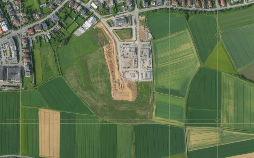
Lately, businesses are increasingly turning to technology to enhance accuracy, save time, and reduce costs. One such innovation that has revolutionized industries like agriculture, construction, and environmental monitoring is orthomosaics. But what exactly are orthomosaics, and why do they matter? In this blog, we will explore the benefits, accuracy levels, and diverse applications of orthomosaics. Also, we’ll discuss how industries are leveraging this cutting-edge technology. What Are Orthomosaics? Orthomosaics, or orthomosaic maps, are high-resolution maps. They are created by stitching together aerial images. These images are corrected for distortion and provide accurate views. Orthophotos are corrected for camera tilt, lens distortion, and terrain variations. This ensures high accuracy for mapping and measuring land. Orthomosaics are useful for large-scale, high-precision mapping. Benefits of Orthomosaics 1. High Accuracy Levels Orthomosaics offer exceptional accuracy for measurements and analysis. These maps use photogrammetry to create precise data. With sub-centimeter accuracy, they are ideal for tasks like land surveying and construction. Compared to traditional methods, they provide higher precision. Orthomosaics save time and reduce errors in mapping projects. 2. Cost-Effective and Time-Saving Creating orthomosaic maps traditionally is time-consuming and expensive. Drone-based orthomosaic services are faster and cheaper. Drones capture vast areas quickly, saving time and labor costs. This enables businesses to get real-time, accurate results. Drone surveys cut down on repeat visits and manual measurements. 3. Versatile Applications Orthomosaics have wide-ranging applications across many industries: Agriculture Mapping: Orthomosaic maps help monitor crop health and soil conditions. They help farmers detect crop stress, pest infestation, and irrigation needs. These maps improve decision-making for farming practices. Construction: In construction, accurate mapping is critical. Orthomosaics assist with site planning, design, and monitoring. They help contractors assess terrain, track progress, and manage risks. Environmental Monitoring: For environmental assessments, orthomosaics provide valuable insights. They track land use, vegetation, and disaster impact. These maps are essential for conservation and environmental protection. Urban Planning: City planners use orthomosaics for infrastructure development. They evaluate land usage, zoning, and future development. These maps ensure sustainable growth and planning. Accuracy Levels in Orthomosaics The accuracy of orthomosaics depends on factors like drone sensor quality and flight altitude. Typically, drone-based orthomosaics can achieve ground sampling distances (GSD) as low as 2.5 cm. This makes them ideal for high-precision tasks, like surveying and mapping. High-quality sensors and GPS systems ensure highly georeferenced imagery. This gives accurate results suitable for professional use in mapping and surveying. Industry Applications Orthomosaics are transforming industries by providing precise mapping data. Here’s how they’re being used: Agriculture: Farmers use orthomosaics for crop health analysis and precision farming. These maps help optimize irrigation, fertilization, and harvesting practices. Urban Development: City planners and developers use orthomosaics for zoning and infrastructure planning. These maps provide detailed views of land and existing structures. Environmental Science: Orthomosaics are crucial for monitoring ecosystems and natural habitats. They help scientists track land changes, deforestation, and wildlife habitats. Disaster Response: After disasters, orthomosaics help assess damage and plan recovery efforts. They give first responders accurate, up-to-date visual data for decision-making. FAQs 1. What is the main function of an orthomosaic map? Orthomosaic maps provide detailed views by stitching aerial images. They are used for accurate measurements and land analysis across industries. 2. What are orthomosaics? Orthomosaics are maps created by stitching multiple aerial images. They are georeferenced and used for precise mapping and measurements. 3. What is the accuracy of drone photogrammetry? Drone photogrammetry can achieve sub-centimeter accuracy. This makes it ideal for tasks that need precise measurements, like surveying. 4. What types of advanced technology are used in mapmaking today? Modern mapmaking uses drone photogrammetry, LiDAR, GPS systems, and geospatial software. These technologies ensure highly accurate and reliable maps. Conclusion Orthomosaics are changing the way we approach mapping. Their accuracy, cost-effectiveness, and versatility are transforming industries. By using drone orthomosaic services, businesses can access real-time, precise data for informed decision-making. With drone technology advancing, the applications of orthomosaics will continue to grow. More industries will adopt this technology for improved efficiency and productivity. Contact Rekon Solutions today to learn how our orthomosaic services can take your projects to the next level.
Mapping Made Easy with Photogrammetry
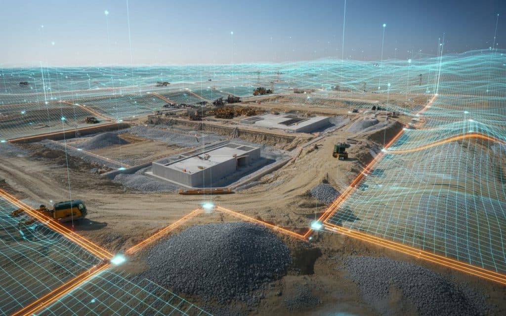
Have you ever wondered how drone mapping is revolutionizing the way we capture and analyze landscapes? Whether you’re managing a construction project, surveying land, or monitoring environmental changes, mapping has been made easy with photogrammetry. It is reshaping how data is collected and visualized. With drone mapping, what once took weeks of fieldwork can now be completed in hours — with higher accuracy and lower costs. What is Drone Mapping? Drone mapping is the process of using unmanned aerial vehicles equipped with high-resolution cameras and drone photogrammetry software to capture detailed images of the ground. These images are then stitched together to create highly accurate 2D maps, 3D models, and digital elevation models (DEMs). The technique behind mapping made easy with photogrammetry is simple but powerful. Drones capture hundreds or even thousands of overlapping photos from multiple angles. Photogrammetry software then processes these images, calculating depth and distance to reconstruct the terrain in remarkable detail. According to a recent study published in the MDPI Journal of Drones, aerial photogrammetry delivers “high-accuracy spatial data and cost-effective mapping for large-scale applications” — making it ideal for industries like mining, construction, and infrastructure planning (source). Why Do Most Businesses Rely on Drone Mapping? 1. Speed and Efficiency Traditional land surveys can take days or weeks, depending on terrain and accessibility. Drone mapping drastically reduces that time. For example, a drone can map 100 acres in under an hour — while providing centimeter-level precision. This speed allows companies to collect data more frequently, improving project tracking and decision-making. 2. Cost Savings Drone mapping removes the need for expensive equipment, large teams, and risky manual surveys. The cost per survey is often reduced by up to 70%, according to industry research. Companies can reinvest those savings into better equipment, analysis, or faster project turnaround. 3. High Accuracy With the right setup, including ground control points (GCPs) and real-time kinematics (RTK) positioning, drone photogrammetry achieves sub-centimeter accuracy. This precision makes it reliable for volume measurement, contour mapping, and construction quality assurance. 4. Safety and Accessibility Drones can fly into hazardous areas — from steep quarries to flooded zones — where human access is unsafe. This ability not only reduces risk but also ensures continuous monitoring of areas affected by erosion, landslides, or structural instability. 5. Scalability From a small residential site to a massive infrastructure project, drone mapping can scale effortlessly. Advanced drones can fly longer distances and capture large tracts of land without compromising data quality. How Does Drone Photogrammetry Work? 1. Flight Planning Surveyors define the area of interest, flight altitude, image overlap, and camera settings. The goal is to capture overlapping images (usually 70–80%) for accurate 3D reconstruction. 2. Image Capture During flight, the drone captures high-resolution images along a pre-programmed path. The onboard GPS tags each image with coordinates, ensuring spatial accuracy. 3. Data Processing Once the flight is complete, the data is imported into drone photogrammetry software. This software aligns overlapping images and calculates 3D coordinates for millions of points, forming a dense point cloud. 4. 3D Model and Map Creation From the point cloud, the system generates a 3D model, orthomosaic, or contour map. These outputs are used in CAD, GIS, or BIM applications for planning and analysis. 5. Analysis and Deliverables The deliverables from drone mapping include orthophotos, DEMs, 3D meshes, volume measurements, and site progress reports. These datasets are invaluable for engineers, project managers, and environmental scientists. Real-World Applications of Drone Mapping Construction and Infrastructure In construction, drone mapping helps project managers monitor progress, measure stockpiles, and identify issues early. Weekly drone surveys can detect deviations between actual and planned designs, reducing costly rework. Mining and Quarrying Mining operations use drone photogrammetry to measure excavation volumes, assess safety, and monitor pit wall stability. Accurate volume data ensures better inventory management and production forecasting. Agriculture and Land Management Farmers and land managers use drone mapping to analyze crop health, soil conditions, and irrigation efficiency. The detailed 3D models created through drone photogrammetry help optimize planting and resource use. Environmental Monitoring For environmental scientists, drone mapping provides precise data on erosion, vegetation change, and floodplain dynamics. It enables early intervention in areas affected by natural disasters or human activities. Urban Planning and Smart Cities Urban planners rely on drone mapping to visualize terrain, buildings, and infrastructure. The models generated are crucial for zoning, road alignment, and sustainable city design. Choosing the Right Drone Mapping Solution When investing in drone mapping or drone photogrammetry, consider: Camera Quality: A higher-resolution camera ensures more detail in models and maps. Flight Time: Longer battery life means more area covered per mission. Software Compatibility: Look for photogrammetry tools that integrate with your existing GIS or CAD workflows. Accuracy Tools: Drones with RTK or PPK systems improve positional accuracy. Service Model: Businesses can either buy their own drone mapping equipment or outsource to providers like Rekon Solutions for expert data collection and analysis. Rekon Solutions offers advanced drone mapping and drone photogrammetry services that deliver precise, real-time insights for construction, mining, environmental, and infrastructure projects. Our drones are equipped with state-of-the-art cameras and sensors to ensure the highest quality results. Common Challenges Even though drone mapping simplifies data collection, it comes with considerations: Weather Conditions: Rain, fog, and wind can affect image quality and flight stability. Regulations: Always ensure drone operations comply with local aviation laws. Data Storage: High-resolution image sets can require significant storage and processing power. Accuracy Control: Ground control points (GCPs) are essential for ensuring survey precision. The Future of Drone Mapping The future of drone mapping lies in automation and AI. Real-time mapping, cloud-based processing, and AI-powered anomaly detection will make photogrammetry faster and more intelligent. Industries are increasingly integrating drones into digital twin models, allowing real-time decision-making across infrastructure and construction projects. According to MarketsandMarkets, the global drone mapping and survey industry is expected to exceed $35 billion by 2030, driven by adoption in construction, agriculture, and logistics. Conclusion Mapping made easy with photogrammetry has reshaped the way we view