
RTK vs PPK vs Ground Control: Which Does Your Survey Need?
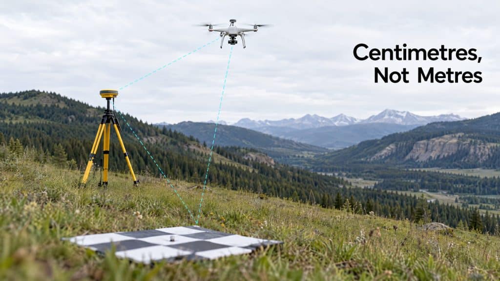
If you’ve read a survey proposal and hit a wall of acronyms — RTK, PPK, GCPs — you’re not alone. These three terms decide whether your survey data can be trusted, yet the RTK vs PPK question (and where ground control fits) is rarely explained in plain language. So let’s fix that, because picking the wrong approach means either overspending or ending up with data that won’t hold up. All three solve the same core problem: a drone needs to know exactly where it was for every point it captured. A regular GPS chip is accurate to a few metres — nowhere near good enough for survey work. RTK, PPK, and ground control are the three ways to get from “a few metres” to “a few centimetres.” Ground Control Points (GCPs): the old-school anchor A GCP is a physical, marked target placed on the ground, whose exact position is measured with survey-grade equipment. The drone photographs these targets, and during processing the data is “pinned” to those known points. Strengths: Proven, independently verifiable, and they give you check points to confirm accuracy. The catch: Someone has to physically place and measure every target across the site. On a large, steep, or hazardous site, that’s slow, expensive, and sometimes dangerous — which is a big part of why drone surveying exists in the first place. Walking a crew across an unstable slope to plant targets somewhat defeats the purpose. RTK: corrected in real time RTK (Real-Time Kinematic) puts a correction signal into the drone while it’s flying. A base station (or a network) feeds live corrections, so the drone records centimetre-level positions in the moment. Strengths: Little to no ground control needed, fast turnaround, less time on site. The catch: It depends on a stable radio or network link during flight. Lose the signal in a deep valley or remote backcountry — exactly the terrain we work in most — and your corrections drop out. PPK: corrected afterward PPK (Post-Processed Kinematic) collects the same high-precision data but applies the corrections after the flight, in processing. The drone and base station each log their data, and the two are matched up later. Strengths: No need for a live link during flight, which makes it far more robust in remote or signal-poor areas. Often the most reliable choice for rugged, disconnected sites. The catch: You don’t get positions in real time — but for survey deliverables, that almost never matters. RTK vs PPK vs ground control: which one do you need? Here’s the honest, field-tested version: Open, accessible site with good signal? RTK is fast and efficient. Remote, rugged, or signal-poor terrain? PPK is usually the more dependable choice. Highest-stakes accuracy, or a client who requires independent verification? Use ground control — often alongside RTK or PPK as check points, not instead of them. And that last point is the one most people miss: it’s not always either/or. The most rigorous surveys combine methods — PPK for efficiency, plus a handful of GCPs as an independent accuracy check. Belt and suspenders. The right answer comes down to your terrain, your accuracy requirements, and who needs to trust the result. If you’re not sure, that’s genuinely our favourite kind of question to help with — because getting this decision right upfront is what makes the final data defensible. Not sure which method fits your site? Let’s figure it out together →
How to Choose the Right Resolution for Your Drone Survey
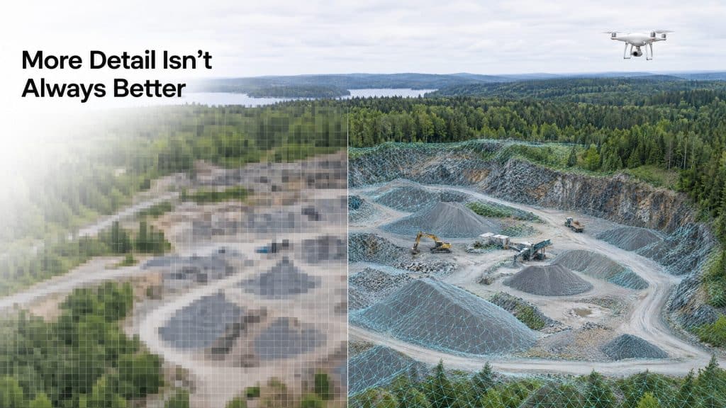
There’s a Goldilocks problem hiding in every drone survey — resolution — and almost nobody talks about it until it’s too late. Order too much resolution, and you’ve paid for detail you’ll never use — larger files, longer processing, a bigger invoice. Order too little, and the data quietly fails you: the crack you needed to see isn’t there, the contours are too coarse for design, and you’re re-flying the site. Both mistakes cost money. The trick is landing in the middle. First, what drone survey resolution actually means In drone surveying, resolution mostly comes down to two things: how much detail each image or scan captures, and how densely points or pixels are packed across the ground. For photogrammetry, the key term is Ground Sampling Distance (GSD) — the real-world size each pixel represents. A 2 cm GSD means one pixel covers a 2 cm × 2 cm square of ground. Smaller number, finer detail. For LiDAR, it’s point density — points per square metre. More points mean more detail, especially for small or complex features. You don’t need to memorize the physics. You need to know one thing: resolution should be driven by your deliverable, not by “more is better.” Start from the end, not the start The right question isn’t “what’s the highest resolution available?” It’s “what decision will this data support?” Volume measurements on a bare stockpile? You don’t need ultra-fine resolution. You need consistent, repeatable capture. Moderate resolution does the job — this is classic photogrammetry territory. Detecting fine cracks or small defects? Now detail matters, and you push for a finer GSD. Bare-earth terrain under forest for drainage design? This isn’t really a resolution question at all — it’s a LiDAR question, because you need to get through the canopy first. Powerlines, poles, and thin features? High point density, because those features are small and easy to miss. The altitude trade-off Here’s the lever that controls it all: flight altitude. Fly lower, and you get finer resolution — but you cover less ground per flight, so the job takes longer and costs more. Fly higher, and you cover more ground faster, but detail drops. Every survey is a negotiation between detail, coverage, time, and cost. A good operator doesn’t just crank resolution to the maximum — they find the altitude and settings that hit your required accuracy efficiently. Maxing out resolution “to be safe” is one of the most common ways to overspend on a survey. A simple way to think about it Ask yourself three questions: What’s the smallest thing I need to see or measure? That sets your minimum detail. What accuracy does my end use require? Design and permitting are stricter than general planning. How big is the area? Large sites make ultra-fine resolution expensive fast. Answer those, and the right resolution almost picks itself. When in doubt, ask before you fly The most expensive resolution mistakes are the ones discovered after the flight. The fix is embarrassingly simple: have the conversation upfront. Tell your provider what you’re using the data for, and a good one will spec the resolution to match — no guesswork, no re-flights. Not sure what resolution your project needs? Tell us what you’re building and we’ll spec it →
Airborne LiDAR vs Drone LiDAR: Which One Is Right for Your Project?
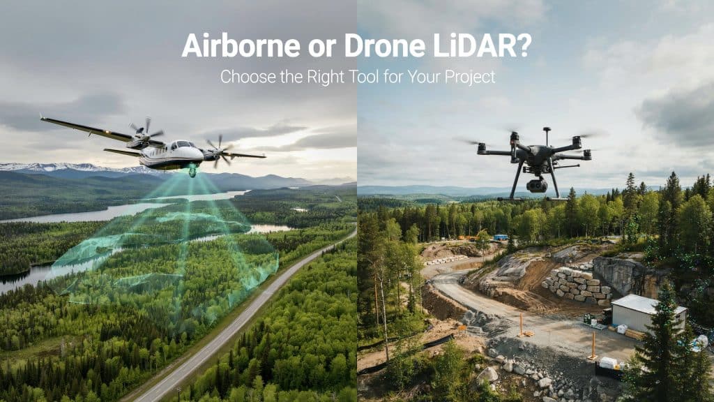
Choosing between drone LiDAR vs airborne LiDAR is one of your first big calls. Both capture stunning 3D detail, yet they suit very different jobs. Pick the right one, and you save real time and money. Pick wrong, and you overpay or miss the detail you needed. It helps to know how much each method actually delivers. The USGS maps the nation with airborne LiDAR at 2 points per square metre. Drone LiDAR, flown low and slow, can capture far more than that. So let me walk you through which one fits your project. What is airborne LiDAR? Let’s start with the traditional option first. Airborne LiDAR uses a laser scanner mounted on a crewed aircraft. A plane or helicopter flies high above your site. It sweeps huge areas in a single, efficient mission. This is the backbone of large scale Airborne LiDAR Mapping. It can cover hundreds of square kilometres in one day. The resulting Airborne lidar data is broad, consistent, and reliable. Many airborne mapping services rely on it for regional projects. The trade off is lower detail from that height. Fine features can blur when you fly so high above. That sheer reach is where airborne wins the drone LiDAR vs airborne LiDAR debate. What is drone LiDAR? Now for the newer, nimbler option you keep hearing about. Drone LiDAR mounts a similar laser on an unmanned aircraft. The drone flies low, slow, and close to your target. That closeness produces incredibly dense, detailed point clouds. You mobilise it fast, often with a small two person crew. This makes drone mapping services ideal for smaller, detailed sites. The trade off is limited range and flight time. One drone covers far less ground in a single day. It shines whenever you need precision over sheer coverage. Here the drone LiDAR vs airborne LiDAR balance tips toward the drone. How do they compare? So how does drone LiDAR vs airborne LiDAR really stack up? The honest answer comes down to a few simple trade offs. Here is how the two methods differ in practice. Airborne covers huge regions, while a drone covers smaller sites Drone LiDAR delivers far higher point density and resolution Airborne suits big jobs, and drones win on the small ones Drones reach tight, tricky spots far more easily Drones mobilise quickly with a small, flexible crew An aerial lidar survey by plane trades fine detail for broad speed. Both still give you an accurate lidar survey when planned well. The right lidar data collection method simply depends on your goal. Accuracy holds up on both, as we cover in how accurate drone LiDAR is. What factors decide the choice? A handful of practical factors will point you the right way. Weigh these carefully before you commit to either method. The size of the area you need to map The level of detail your project truly demands Your budget and your delivery timeline How remote or hard to reach the site is Whether crewed flights are even permitted there Run through this short list, and the answer usually becomes obvious. Your project rarely needs both, so match it to the biggest factor. When should you choose airborne LiDAR? Airborne LiDAR earns its place on truly large projects. Think highways, pipelines, forests, and whole watersheds. If you must map hundreds of square kilometres, fly crewed. The cost per acre drops fast at that kind of scale. Endurance matters here too, on sprawling jobs. A crewed plane simply stays airborne far longer than any drone. It also suits regional planning and broad aerial mapping services. You get consistent coverage across an enormous footprint. For massive coverage, drone LiDAR vs airborne LiDAR points clearly to airborne. When should you choose drone LiDAR? Drone LiDAR is the smart pick for smaller, detailed sites. Think construction, quarries, corridors, and complex terrain. When you need dense data on a tight budget, fly a drone. It captures fine detail that a high flying plane would miss. Drones also handle rough, hidden ground with ease. We show this in how LiDAR performs in dense forest and mountain terrain. You also avoid putting a pilot up in the air. That safety and flexibility is a real bonus on tricky sites. For most site scale work, drone LiDAR vs airborne LiDAR favours the drone. Frequently asked questions Is drone LiDAR more accurate than airborne LiDAR? Drone LiDAR usually captures denser, more detailed data. Both reach high accuracy when planned and processed well. Which one covers a large area faster? Airborne LiDAR wins easily on very large sites. A crewed aircraft maps in hours what a drone cannot. Is drone LiDAR cheaper than airborne LiDAR? For small sites, yes, drones are far cheaper to run. For huge areas, airborne cost per acre drops below drones. Can you combine both methods? Yes, and many large projects do exactly that. Airborne covers the bulk while drones capture the key detail. Choosing the right LiDAR for you In the end, drone LiDAR vs airborne LiDAR is not a rivalry. It is simply about matching the tool to the job. A big region with broad coverage means airborne every time. A small site with fine detail means a drone serves you better. The best lidar surveying services help you make that call clearly. They match the method to your area, budget, and goals. If you are unsure which one fits, let us help you decide. Tell us about your site, and Rekon Solutions will recommend the right approach.
Why Canada Just Introduced Its First National Landfill Methane Rules (And What They Mean for Operators)
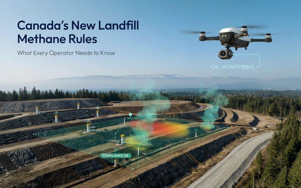
For the first time, Canada has a national standard for controlling methane emissions from its landfills. On December 12, 2025, the federal government brought the Landfill Methane Regulations (SOR/2025-279) into force — a move years in the making, and one that will reshape how landfill owners and operators across the country monitor, control, and report the gas their sites produce. If you operate a landfill, or work with clients who do, this is one of the most significant regulatory shifts the waste sector has seen in a decade. Here is what changed, why Canada acted, and what it means for the operators now on the clock. The Short Version: What Actually Happened Until now, landfill methane in Canada was governed by an uneven patchwork of provincial rules, voluntary programs, and offset protocols. Some provinces had meaningful requirements; others had very little. The new federal regulations replace that inconsistency with a single, country-wide baseline. The approach is performance-based. Rather than dictating exactly which equipment every operator must install, the regulations set measurable limits — chiefly surface methane concentration thresholds — and require regular monitoring to prove those limits are being met. The regulations came into force in December 2025, but the heavier monitoring and control obligations phase in gradually between 2028 and 2035, giving operators time to design and install the infrastructure compliance requires. Why Canada Tightened the Rules on Landfill Methane The reasoning comes down to one uncomfortable fact: landfills are a bigger climate problem than most people realize. Methane is a powerful greenhouse gas — responsible for roughly 30% of global warming since pre-industrial times — and it acts fast, trapping far more heat than carbon dioxide over the short term. In 2023, emissions from Canadian landfills accounted for about 17% of the country’s national methane emissions and roughly 3% of its total greenhouse gas emissions. That makes waste one of the largest single sources of methane in the country, behind only agriculture and oil and gas. Canada has also made international commitments — including the Global Methane Pledge — to cut methane sharply this decade. Landfills represent one of the fastest and most cost-effective opportunities to do that. The gas is already being generated; capturing and destroying it (or converting it to energy) is comparatively cheap climate action with an immediate payoff. The regulations are designed to lock in those reductions: the target is to cut landfill methane by roughly 42% by 2030 and 50% by 2035, measured against 2019 levels. Who the Regulations Apply To The regulations do not apply to every landfill — they are aimed at the medium and large municipal solid waste (MSW) sites responsible for the bulk of emissions. A landfill is regulated if it meets either of these thresholds: Legacy waste-in-place: Received any MSW after January 1, 2010, and has more than 450,000 tonnes of waste in place; or Recent disposal volume: Disposed of more than 20,000 tonnes of MSW in 2025 or any later year, and has more than 200,000 tonnes of waste in place. Meeting one of those thresholds triggers an obligation to assess methane generation using a mandatory federal modelling tool. Whether a site then faces full control obligations depends on how much methane it actually generates: open landfills above 664 tonnes per year and closed landfills above 1,000 tonnes take on further requirements. Sites that received only inert or non-biodegradable waste — soil, concrete, asphalt, glass, metals — are generally exempt, as are older portions closed before 2010. What Operators Now Have to Do For regulated landfills that cross the generation thresholds, the core obligations fall into a few clear categories: Model methane generation annually, using the ECCC Landfill Methane Modelling Tool. Monitor surface methane (Surface Emissions Monitoring) three times per year to find fugitive “hot spots” in the landfill cover. Monitor the gas recovery wellfield monthly for pressure, oxygen, flow, and damaged components. Detect and repair equipment leaks three times per year, with a leak defined at 500 ppmv or more. Control venting and report annually, with recovered methane destroyed or used, and a report due June 1 each year once control obligations begin. The surface monitoring piece is where the day-to-day work lives. The regulations set a hard limit of 500 ppmv at any single location and a 25 ppmv zone-average across roughly 4,500 m² zones. Exceed those, and corrective action is required. The Deadlines Are Tiered — and Closer Than They Look The control obligations don’t hit every site at once. They phase in based on how much methane a landfill generates and whether it already has gas recovery infrastructure. Sites generating 1,000 tonnes or more per year with existing recovery systems face control requirements first, in 2028. Sites at that generation level without existing systems follow in 2029. Smaller sites generating between 664 and 1,000 tonnes have until 2035. That staggered structure is deliberate — it gives operators lead time to plan capital projects rather than forcing an overnight scramble. But it also means the largest emitters have the least runway. If your site falls into the first tier, the design and installation work realistically needs to be underway well before the 2028 date, not started in response to it. A Notable Detail: Drones Are Explicitly Allowed One forward-looking element of the regulations is worth flagging. For surface emissions monitoring, operators aren’t limited to crews walking the landfill on foot. The regulations explicitly permit drone-based monitoring using the US EPA’s OTM-51 method — a drone carrying a methane detector and a ground-level sampling tube. For large or steep sites, this matters. A drone can cover ground faster than a walking crew and reach areas that are unsafe or impractical to survey on foot — steep slopes, drainage features, and unstable cover. Where the drone flags an elevated reading, a ground-based handheld check follows up to verify it. It’s a screening-and-verification workflow built for speed and coverage, and it reflects where the industry is heading. The same drone LiDAR and mapping technology used for
Drone LiDAR Deliverables: Point Clouds, Ground Models, and QA That Builds Confidence
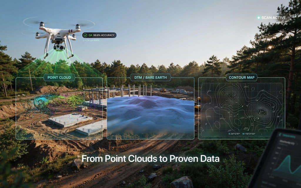
When you order a LiDAR survey, what should actually land in your inbox? Understanding your drone LiDAR data deliverables is the difference between data you trust and data you quietly second guess. A strong survey is more than a pretty 3D scan. It is a clear set of products, each with a job to do, backed by checks that prove the numbers are right. Get that mix right, and you can plan, design, and build with confidence. Get it wrong, and small errors hide until they cost you later. So let us walk through the core LiDAR data deliverables, from the raw point cloud to the finished ground model, and the QA that ties it all together. What is a drone LiDAR point cloud? Everything starts with the point cloud. A drone LiDAR point cloud is a dense 3D collection of millions of measured points, each one a real spot the laser touched. So what is a LiDAR point cloud in plain terms? Picture a 3D photo made of dots, where every dot has an exact position in space. Together they form the shape of the ground, trees, buildings, and structures. This raw LiDAR point cloud data is the source of truth for everything else. Every other deliverable you receive is derived from it, which puts the cloud at the centre of your drone LiDAR data deliverables. How do point clouds become ground models? The point cloud is powerful, but it is not the final product for most jobs. Next comes classification, where software and analysts sort points into groups like ground, vegetation, and buildings. Once the ground points are separated, you get a LiDAR ground model. This bare earth surface is the foundation for design and volume work. There are two key surfaces to know. The digital terrain model LiDAR produces shows the bare ground with plants and structures stripped away. The digital surface model LiDAR builds includes everything on top, such as canopy and rooftops. That bare earth view is what makes LiDAR special, since it reveals the ground hidden under forest. We explain that strength in our post on how LiDAR performs in dense forest and mountain terrain. These ground models are the heart of most drone LiDAR data deliverables. What other LiDAR outputs can you receive? From those surfaces, a survey can produce a whole family of LiDAR mapping outputs. Contour lines, slope maps, and elevation models all come from the same dataset. You can also receive breaklines, volume reports, cross sections, and colourized point clouds. The right LiDAR data products depend on your project, so it pays to agree on them up front. This is part of strong drone LiDAR data deliverables. A clear list of outputs means no surprises when the files arrive. How does QA prove your data is accurate? Here is the part that separates a professional survey from a risky one. Quality assurance proves your data is accurate, not just detailed. It starts with ground control points. These are marked spots on the ground with positions measured by a precise GPS survey, and they anchor the whole dataset to real world coordinates. How do you measure ground control points? A surveyor records each one with survey grade GNSS, often using RTK or static methods for the tightest results. Then come independent checkpoints. These are extra measured points, kept separate from the ones used to build the model, and they test how close the data really is. A well known rule from the USGS and ASPRS standards is that your checkpoint survey should be about three times more accurate than the LiDAR itself. On standards, the USGS sets QL2 as its minimum quality level for national elevation data, which means at least 2 points per square metre and vertical accuracy near 10 centimetres. Good drone work often far exceeds that. For more on the numbers, see our guide on how accurate drone LiDAR is for engineering and construction projects. Finally, you should receive a validation report. This QA is what makes your drone survey deliverables trustworthy, since you can read the measured accuracy in writing rather than taking it on faith. What should you ask for before a survey? Strong drone LiDAR data deliverables start with a clear conversation before the flight. Ask for the point cloud, the bare earth model, and the specific maps your team needs. Just as importantly, ask how the data will be checked. A provider that talks openly about ground control, checkpoints, and reporting is one that takes accuracy seriously. This is where the right partner matters. Rekon Solutions plans each survey around your deliverables and proves the quality with clear, documented QA. Frequently asked questions What is a LiDAR drone survey? It is a survey where a drone carries a laser scanner to map the ground and objects in 3D. The result is a precise point cloud and the models built from it. What are the 4 components of LiDAR? A LiDAR system has four main parts. These are the laser scanner, a GNSS receiver for position, an IMU for orientation, and a timing computer that ties them together. What techniques are used in LiDAR data processing? Common steps include trajectory processing, point cloud alignment, noise removal, classification into ground and non ground points, and surface modelling. Each step shapes the final drone LiDAR data deliverables. Why do ground control points matter? They anchor your data to real coordinates and let you prove its accuracy. Without them, even a dense point cloud can drift away from the truth. Why trustworthy deliverables matter most At the end of the day, drone LiDAR data deliverables are only as valuable as your confidence in them. A dense point cloud, a clean ground model, and the right maps mean little without QA to back them up. The best surveys give you both. Detailed products, plus clear proof that the numbers hold, so your team can act without hesitation. If your next project needs LiDAR data you can stand behind,
What Makes Engineering Grade LiDAR Data Reliable for Real Projects
Many teams assume LiDAR quality depends only on the drone or sensor being used. In reality, collecting the data is only the beginning of the process. What truly determines project value is how that data gets processed, validated, and delivered afterward. This is why understanding engineering grade LiDAR data matters before hiring any survey provider. Reliable LiDAR outputs require much more than aerial scanning alone. They depend on structured workflows, quality control, and precise data handling standards. For engineering and construction projects, small data errors can create major downstream problems. That is why experienced teams focus heavily on workflow reliability instead of just flight capability. Let’s break down what actually makes LiDAR data engineering ready for real world use. Why Engineering Grade LiDAR Data Is Different From Basic Mapping Not all LiDAR outputs meet engineering standards. Some datasets work well for visualization or preliminary planning but lack the precision needed for construction and infrastructure projects. This difference becomes critical once designs, measurements, and site decisions depend on the data. True engineering grade LiDAR data must support accurate calculations and dependable terrain analysis. Engineers rely on it for grading, drainage, corridor design, and construction coordination. Because of this, data consistency and verification become essential parts of the workflow. Additionally, engineering projects often require documented accuracy reporting. Without proper validation, even visually impressive datasets may not meet operational requirements. Why LiDAR Accuracy Depends on More Than Sensors High quality sensors matter, but they are only one part of the process. Flight planning, control networks, calibration, and processing workflows all influence final results. This is where many low quality mapping projects fail. For example, poor overlap settings can reduce point cloud consistency significantly. Weak control networks may introduce positional drift across large sites. Inaccurate calibration can also affect elevation precision. This is why survey grade LiDAR accuracy depends on complete workflow discipline rather than hardware alone. Reliable outputs come from repeatable standards across every project phase. The Importance of LiDAR Data Processing Standards Raw LiDAR scans are not immediately useful for engineering teams. Before the data becomes actionable, it must pass through several processing stages. This is where strong LiDAR data processing standards become essential. Processing workflows typically include: trajectory correction point cloud alignment noise filtering ground classification accuracy validation deliverable generation Each stage affects the reliability of the final outputs. Even small processing mistakes can reduce terrain accuracy or introduce modeling issues. Professional providers follow strict quality assurance workflows to maintain consistency across datasets. Understanding LiDAR Point Cloud Classification One of the most important stages in processing involves LiDAR point cloud classification. This process separates terrain points from vegetation, structures, vehicles, and other surface objects. Without proper classification, terrain models become unreliable. Engineers may receive distorted elevation data that affects grading or drainage analysis. Classification helps isolate the actual ground surface accurately. Different project types may require additional classifications as well. Forestry projects, for example, often separate canopy layers from understory vegetation. Infrastructure projects may classify utilities or structures independently. This step plays a major role in producing dependable engineering deliverables. Why Georeferenced LiDAR Data Outputs Matter Accuracy means little if the data does not align properly with project coordinates. This is why georeferenced LiDAR data outputs are critical for engineering workflows. Georeferencing ensures the LiDAR data matches real world coordinate systems precisely. This allows engineers, GIS teams, and contractors to integrate datasets directly into design environments. Poor georeferencing creates alignment problems between survey data and existing project files. These issues can lead to costly redesigns or field conflicts later. Reliable providers validate coordinate systems carefully before finalizing deliverables. The Role of CAD Ready LiDAR Data Engineering teams rarely work directly with raw point clouds. Instead, they require processed outputs compatible with design software and drafting workflows. This is where CAD ready LiDAR data becomes important. Processed deliverables may include: contour files terrain surfaces breaklines cross sections digital terrain models coordinate referenced datasets These outputs allow engineering teams to begin design work immediately without extensive reprocessing internally. This is one reason why LiDAR deliverables for engineers vary depending on project goals and software environments. How GIS LiDAR Datasets Support Broader Planning Modern projects often involve more than engineering teams alone. Environmental analysts, planners, and GIS specialists also rely heavily on spatial datasets. Because of this, many projects require well structured GIS LiDAR datasets alongside engineering deliverables. These datasets support: environmental assessments flood analysis land management infrastructure inventories corridor planning vegetation analysis The ability to integrate LiDAR into GIS workflows improves collaboration across departments significantly. This broader usability increases the long term value of the survey itself. Construction LiDAR Mapping Standards and Quality Control Construction projects demand consistency because small terrain errors can affect scheduling, grading, and infrastructure alignment. This is why construction LiDAR mapping standards emphasize accuracy validation and quality reporting. Professional workflows often include checkpoints and independent verification throughout processing. Quality control teams compare LiDAR outputs against known control points to confirm reliability. Following recognized standards improves confidence in the final deliverables. Why LiDAR Data Processing Workflow Matters A strong LiDAR data processing workflow ensures consistency from collection through final delivery. Every stage influences how usable the final data becomes for engineering and construction teams. The workflow typically includes: mission planning control establishment flight execution trajectory correction classification QA validation deliverable preparation Skipping or rushing any stage increases project risk significantly. This is why experienced providers focus as much on office processing as field collection. The real value of LiDAR often comes after the flight itself. If your team needs engineering ready mapping outputs, Rekon Solutions can help structure deliverables around your project requirements. What Engineers Should Ask Before Hiring a LiDAR Provider Many project issues begin because teams focus only on pricing or equipment specifications. Instead, engineers should ask deeper workflow questions before selecting a provider. Important questions include: What accuracy standards do you follow How is classification validated What deliverables are included Are outputs CAD and GIS compatible How is quality assurance documented What coordinate systems are supported
Drone LiDAR What You Actually Get and What to Ask For
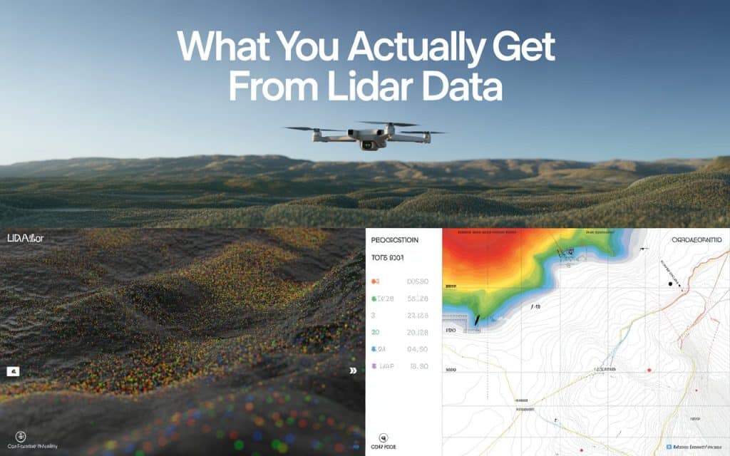
Many teams invest in drone LiDAR services for mapping without fully understanding what they are receiving. They hear terms like point clouds, terrain models, and aerial surveys, but the actual deliverables often remain unclear. As a result, project expectations and final outputs do not always align. This is why understanding drone LiDAR services matters before your project begins. LiDAR delivers far more than aerial visuals or basic topographic maps. It creates detailed terrain intelligence that supports engineering, planning, and infrastructure decisions. However, not all providers deliver the same quality or level of detail. Knowing what to ask for helps you avoid incomplete datasets and expensive misunderstandings later. Let’s break down what you actually receive from a professional LiDAR workflow and what smart teams should ask before hiring anyone. What Drone LiDAR Services Actually Provide At the core of drone LiDAR services is laser-based terrain measurement. A drone-mounted LiDAR sensor sends thousands of laser pulses toward the ground every second. The system measures how long those pulses take to return and converts that information into spatial data. This process creates highly detailed 3D datasets known as point clouds. These point clouds contain millions of measured points across the terrain. From there, the data is processed into usable engineering and mapping deliverables. Most professional LiDAR drone surveying services provide several outputs instead of just one map. Understanding those deliverables helps you evaluate the real value of the survey. The Main Deliverables You Should Expect Every project has different requirements, but there are several standard outputs you should expect from quality drone LiDAR services. 1. Point Cloud Data Point clouds are the raw foundation of LiDAR mapping. They represent the terrain and surrounding features in 3D space. Engineers and GIS professionals use them for analysis and modeling. 2. Digital Terrain Models These models show the bare earth surface after vegetation and structures are removed. They are essential for grading, drainage, and infrastructure planning. 3. Contours and Elevation Maps Processed contour lines help visualize terrain elevation changes clearly. These outputs support construction and land development projects. 4. Orthomosaic Imagery Some providers combine LiDAR with aerial imagery. This creates visually detailed site maps that improve interpretation and communication. These are common LiDAR deliverables engineering survey teams typically request during projects. Why Drone LiDAR Mapping Canada Is Growing Rapidly The demand for drone LiDAR mapping Canada continues increasing across multiple industries. Large project areas, remote terrain, and dense vegetation create challenges for traditional surveys. LiDAR solves many of these problems efficiently. Infrastructure, mining, forestry, and construction sectors all benefit from aerial mapping technologies. In particular, aerial LiDAR survey Canada projects help teams capture terrain data safely and quickly across difficult landscapes. Additionally, Canadian projects often involve rugged terrain and environmental considerations. LiDAR provides accurate elevation information without extensive ground access. According to Natural Resource Canada’s National Elevation Data Strategy, LiDAR plays a major role in centimeter-level 3D elevation data for their terrain analysis, flood modeling, and infrastructure planning nationwide. This growth reflects increasing confidence in LiDAR accuracy and efficiency. You can further read about how LiDAR performs in Mountain Terrain and Dense Forrest. What Is Drone LiDAR Used For Many organizations understand that LiDAR creates maps, but they often overlook its broader capabilities. In reality, what drone LiDAR is used for extends far beyond simple surveying. Here are some common applications: Terrain and elevation mapping Construction site planning Forestry and vegetation analysis Infrastructure inspections Mining and stockpile measurement Flood risk and drainage studies Corridor mapping for roads and utilities These UAV LiDAR mapping applications continue expanding as drone technology advances. Understanding LiDAR Mapping vs Photogrammetry One of the most common questions teams ask involves LiDAR mapping vs photogrammetry. Both methods create spatial data, but they work differently and perform best under different conditions. Photogrammetry uses overlapping images to reconstruct terrain visually. LiDAR uses laser pulses to measure elevation directly. Because of this, LiDAR performs much better in forests or heavily vegetated areas. Photogrammetry often provides stronger visual textures and lower operational costs. LiDAR, however, delivers more reliable elevation data in complex terrain. A good provider should explain which method best fits your project instead of pushing a single solution for every site. 4 Questions Smart Teams Must Ask Before Hiring Before choosing a provider, smart teams ask detailed questions about workflows, deliverables, and accuracy. This helps prevent confusion later in the project. 1. What level of accuracy do you guarantee? Understanding LiDAR survey accuracy Canada standards is essential for engineering work. Ask how accuracy is validated and documented. 2. What deliverables are included? Do not assume every provider delivers the same outputs. Clarify exactly what files and models you will receive. 3. How is vegetation filtered from terrain? This is important for forestry, mining, and infrastructure projects. Ground classification quality affects final terrain accuracy. 4. What industries have you worked with? Industry experience often reveals how adaptable the provider is to project challenges. These conversations help you assess technical expertise more effectively. Why Drone LiDAR Data Collection Requires Expertise Collecting LiDAR data is only part of the process. Proper drone LiDAR data collection also depends on flight planning, calibration, and environmental conditions. Poor workflows can reduce accuracy significantly. For example, flight altitude and overlap settings directly affect point density. Weather conditions may also influence data quality. Experienced teams understand how to manage these variables properly. Additionally, processing LiDAR datasets requires technical knowledge. Ground classification and quality control play major roles in final deliverables. If your project depends on accurate terrain data, working with experienced professionals matters. What Influences Drone LiDAR Cost Canada Many factors affect drone LiDAR cost Canada projects. Pricing depends on terrain complexity, vegetation density, project size, and required accuracy. Deliverable types also influence overall costs. For example, engineering-grade terrain models require more processing time than basic aerial outputs. Remote locations may also increase operational expenses. However, focusing only on price can create problems later. Lower-cost providers may cut corners on processing, validation, or reporting. Smart teams evaluate value instead of comparing quotes
Photogrammetry Turns Drone Images Into Measurable 3D Terrain Models
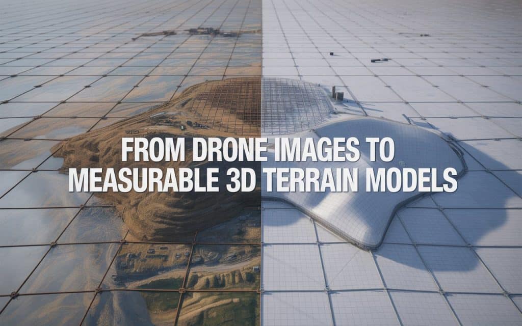
Project teams today need more than simple aerial photos. They need accurate measurements, terrain insights, and reliable models for planning and analysis. Although traditional surveys can provide this information, still they often require more time and resources. This is why drone photogrammetry services are becoming essential across industries. By turning aerial images into measurable terrain models, photogrammetry creates detailed spatial data quickly and efficiently. Moreover, it allows you to visualize sites in ways that standard surveys cannot. If your project depends on accurate terrain information, understanding this technology can help you make smarter decisions. Let’s explore how photogrammetry transforms drone imagery into usable 3D mapping outputs. How Drone Photogrammetry Services Create 3D Terrain Models Drone photogrammetry services work by capturing overlapping aerial images from multiple angles. Specialized software then analyzes shared points between those images. This process reconstructs the terrain into accurate digital models. The result is known as photogrammetry 3D mapping, where images become measurable spatial data. These outputs include terrain models, orthomosaics, contours, and point clouds. Together, they provide a highly detailed representation of the project area. Because the process relies on high image overlap, accuracy improves significantly. This makes drone mapping 3D models useful for engineering, construction, and planning workflows. Why 3D Terrain Models Matter in Modern Projects Modern projects require more than visual references. Teams need measurable terrain information that supports planning, design, and monitoring. This is where drone photogrammetry services provide significant value. For example, drone 3D terrain modeling helps identify elevation changes, slopes, and drainage patterns. These details improve site preparation and reduce planning errors. Additionally, project teams can visualize terrain conditions before work begins. This level of detail also improves communication between stakeholders. Instead of relying on technical drawings alone, teams can review realistic terrain models together. Understanding the Role of Orthomosaic Mapping Drones An important output of drone photogrammetry services is the orthomosaic map. These maps combine multiple corrected images into one seamless, measurable aerial image. This process is supported by orthomosaic mapping drones. Unlike ordinary drone photos, orthomosaics maintain accurate scale and alignment. This allows you to take measurements directly from the imagery. As a result, mapping becomes both visual and analytical. Orthomosaic outputs are especially useful for planning, inspections, and progress tracking. They provide a clear overview of large sites without distortion. Accuracy of Photogrammetry 3D Mapping Accuracy is one of the biggest reasons organizations adopt drone photogrammetry services. When workflows are properly planned, results can achieve centimeter-level precision. Research published by MDPI shows that drone-based photogrammetry provides accurate terrain models of open-grown trees for construction and environmental analysis. These studies confirm the growing reliability of drone survey 3D reconstruction workflows. Comparing Photogrammetry vs LiDAR Accuracy Many teams compare photogrammetry vs LiDAR accuracy before choosing a mapping method. Both technologies provide valuable data, but they perform differently depending on project conditions. Photogrammetry excels at capturing detailed visual textures and color information. It is highly effective in open terrain where image visibility is strong. LiDAR, however, performs better in dense vegetation because laser pulses penetrate tree cover. For many construction and infrastructure projects, drone photogrammetry services provide the right balance of accuracy and efficiency. However, some complex sites may benefit from combining both technologies. If you want to understand how LiDAR compares with photogrammetry, you can read: Photogrammetry Vs LiDAR: Which One Wins. Applications of UAV Photogrammetry Across Industries You will find UAV photogrammetry applications across a wide range of industries. In construction, aerial surveys support site planning, grading analysis, and progress tracking. This improves coordination and reduces delays. In infrastructure projects, construction site drone mapping helps monitor roads, bridges, and utilities. Teams can review site conditions remotely using updated aerial data. This improves both efficiency and decision making. Environmental and mining sectors also benefit from photogrammetry outputs. Terrain analysis and stockpile measurements become faster and more consistent. If you are planning a project and need accurate aerial mapping support, Rekon Solutions can help you identify the right workflow for your requirements. How GIS Photogrammetry Data Output Supports Better Decisions One of the biggest advantages of drone photogrammetry services is compatibility with GIS systems. GIS photogrammetry data output allows aerial mapping data to integrate directly into planning platforms. This makes terrain information easier to analyze and share across teams. Engineers, planners, and project managers can all work from the same dataset. As a result, workflows become more connected and efficient. GIS integration also improves long-term project monitoring. Historical aerial datasets can be compared over time to identify changes and trends. The Workflow Behind Drone Survey 3D Reconstruction A successful drone survey 3D reconstruction process begins with careful flight planning. Drones capture overlapping images using consistent flight paths and altitudes. Proper overlap ensures accurate reconstruction later. The images are then processed using photogrammetry software. The system identifies matching points between images and calculates their spatial positions. This creates detailed drone mapping 3D models and terrain outputs. Finally, the data is reviewed and validated for accuracy. Ground control points may also be used to improve alignment and positioning. Why Construction Teams Use Drone Mapping More Frequently Construction teams increasingly rely on drone photogrammetry services because they improve efficiency without sacrificing detail. Traditional surveys often require significant field time and manual measurements. Drone workflows reduce those requirements dramatically. For example, construction site drone mapping allows teams to monitor progress regularly without disrupting operations. This improves project visibility and supports faster reporting. Additionally, 3D models help identify potential site issues before construction progresses further. This reduces rework and supports better planning. For further reading, you can also explore more aerial mapping services. FAQs 1. What are drone photogrammetry services These services use drones and overlapping aerial images to create measurable maps and 3D terrain models. 2. How accurate is photogrammetry 3D mapping? With proper workflows and control points, photogrammetry 3D mapping can achieve centimeter-level accuracy. 3. What is the difference between photogrammetry and LiDAR? Photogrammetry uses images to build models, while LiDAR uses laser pulses to capture elevation data. 4. What industries use UAV
How Detailed Is Drone Photogrammetry for Topographic Mapping
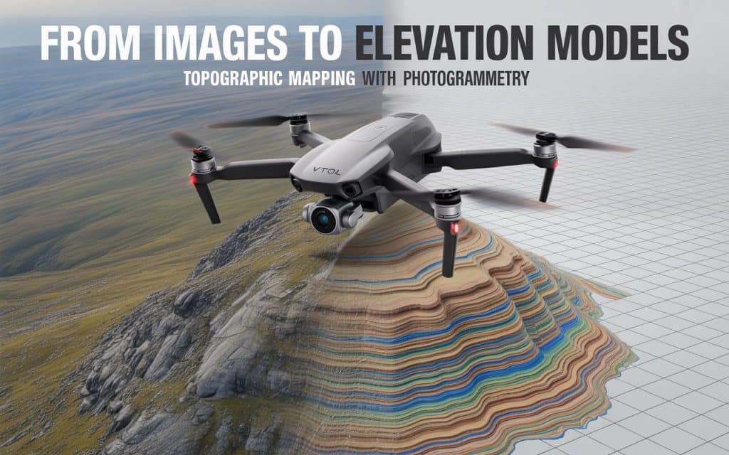
How Detailed Is Drone Photogrammetry for Topographic Mapping Accurate terrain data is critical for planning any engineering or construction project. Without reliable mapping, even small elevation errors can lead to costly mistakes later. That is why photogrammetry for topographic mapping is gaining attention as a fast and precise solution. Today, projects demand both speed and accuracy in data collection. Where traditional surveying methods often struggle to meet tight timelines while maintaining detail. However, drone-based solutions are changing how you capture and analyze terrain data. If you are wondering how detailed and reliable this approach really is, you are not alone. Let’s break down how drone photogrammetry works and what level of detail you can expect. What Makes Photogrammetry for Topographic Mapping So Detailed Photogrammetry for topographic mapping relies on capturing overlapping aerial images from multiple angles. These images are processed using software to generate accurate terrain models. The more overlap and image quality you have, the better the final results. This process creates outputs like digital surface model (DSM) and digital terrain model (DTM). A DSM represents everything on the surface, including vegetation and structures. Meanwhile, a DTM removes those elements to show the bare earth terrain. Because of this layered data, you gain both visual detail and elevation accuracy. This makes aerial photogrammetry mapping highly effective for topographic analysis. How Accurate Is a Topographic Drone Survey Accuracy is one of the biggest concerns when using drones for mapping. A well-executed topographic drone survey can achieve centimeter-level accuracy under the right conditions. This depends on flight planning, ground control points, and processing quality. According to a study published by ScienceDirect, properly controlled photogrammetry surveys can achieve vertical accuracy within a few centimeters. Additionally, research published by MDPI shows that drone photogrammetry can produce highly reliable elevation data and accuracy within 2cm, when combined with ground control points. These findings confirm that photogrammetry survey accuracy is suitable for many engineering and construction applications. Understanding DSM and DTM in Photogrammetry Mapping When working with photogrammetry for topographic mapping, understanding DSM and DTM is essential. These models help you interpret terrain in different ways depending on project needs. A digital surface model (DSM) includes buildings, trees, and other objects. This is useful when analyzing surface features or planning site layouts. In contrast, a digital terrain model (DTM) removes those objects to show ground elevation only. This distinction is important for grading, drainage planning, and earthwork calculations. By using both models, 3D photogrammetry mapping provides a complete understanding of your site. Factors That Affect Photogrammetry Survey Accuracy While photogrammetry for topographic mapping is highly detailed, several factors influence the final output. Understanding these helps you get the best possible results. First, image overlap plays a critical role. Higher overlap ensures better alignment during processing. This directly improves image-based terrain mapping accuracy. Second, ground control points improve spatial accuracy. These reference points align aerial data with real-world coordinates. This is essential for achieving reliable results in a topographic drone survey. Third, weather and lighting conditions matter. Consistent lighting and stable weather help maintain image quality. Poor conditions can reduce the accuracy of your final models. Finally, processing software and expertise also impact results. Accurate aerial photogrammetry mapping depends on proper data handling and analysis. Where Drone Photogrammetry Adds the Most Value You will find photogrammetry for topographic mapping useful across many industries. In construction, it supports site planning, grading design, and progress tracking. Accurate terrain data helps reduce errors and improve efficiency. In infrastructure projects, topographic drone survey data supports road design and utility planning. It provides clear elevation models without requiring extensive fieldwork. Environmental and land development projects also benefit from image-based terrain mapping. You can monitor terrain changes, analyze slopes, and plan sustainable developments. If you want to understand how aerial data supports inspections as well, you can read our blog here: The Value of Aerial Inspections for Infrastructure Projects Comparing Photogrammetry with Traditional Survey Methods Traditional survey methods are still widely used, but they often require more time and resources. Manual data collection can be slow, especially for large or complex sites. This can delay project timelines and increase costs. In contrast, photogrammetry for topographic mapping allows faster data capture using drones. You can cover large areas in a single flight while maintaining detail. This improves both speed and efficiency. Moreover, 3D photogrammetry mapping provides visual context that traditional methods may lack. You can see terrain features clearly instead of relying only on point measurements. This makes planning and communication easier. When You Should Use Photogrammetry for Topographic Mapping Not every project requires the same approach, but photogrammetry for topographic mapping works best in certain scenarios. It is ideal for large sites where speed and coverage matter. It is also effective when visual outputs are important. For example, planners and stakeholders benefit from detailed 3D models and orthomosaics. These outputs improve understanding and decision making. However, in areas with dense vegetation, LiDAR may be more suitable. Combining both technologies can often provide the best results. If you are planning a project and need accurate terrain data, you can reach out to Rekon Solutions to discuss your requirements. The right approach ensures your mapping results meet project expectations. Improving Detail in Aerial Photogrammetry Mapping To get the most detailed results from photogrammetry for topographic mapping, certain best practices should be followed. These steps help maximize accuracy and data quality. Plan flights with sufficient overlap and consistent altitude. This ensures reliable image capture across the site. Use high resolution cameras for better detail in outputs. Incorporate ground control points wherever possible. These improve alignment and accuracy significantly. Also, ensure proper data processing using reliable software tools. By following these practices, your photogrammetry survey accuracy improves noticeably. This leads to better decision making and fewer project risks. FAQs How accurate is photogrammetry for topographic mapping? With proper planning and ground control points, photogrammetry survey accuracy can reach centimeter level precision. What is the difference between DSM and DTM? A digital surface model (DSM) includes
LiDAR: The Key to Unlocking Precise Topography Data
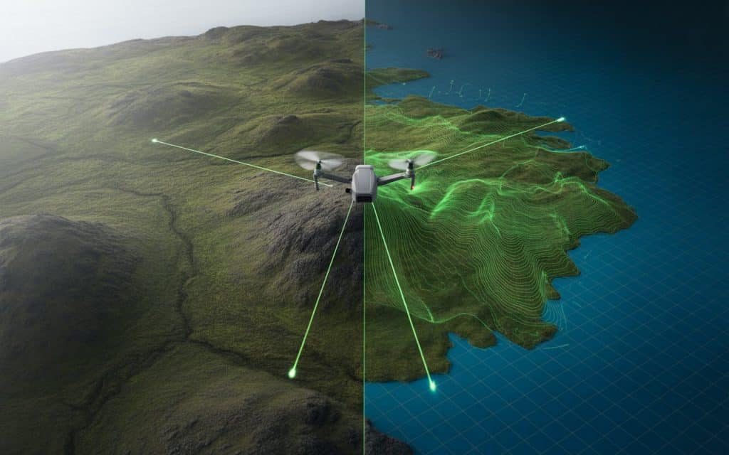
Accurate terrain information is the foundation of many modern projects. Construction planning, infrastructure development, environmental studies, and land management all rely on dependable elevation data. Yet collecting precise measurements across large landscapes has always been a challenge. That challenge is exactly why the topographic LiDAR survey has become so valuable today. Instead of relying entirely on manual field measurements, LiDAR captures terrain information using laser pulses from airborne sensors. The result is highly detailed high-resolution terrain data that reveals the landscape with remarkable precision. When organizations need reliable lidar topography data, they turn to this technology because it provides speed, accuracy, and clarity in ways traditional methods cannot. Let’s explore how LiDAR unlocks precise terrain mapping and why it plays such an important role in modern surveying. Why LiDAR is transforming topographic surveys Topographic surveys traditionally required teams to collect elevation points manually across the landscape. This process worked well for smaller areas but became slow and costly when terrain was complex or difficult to access. A topographic LiDAR survey changes this approach entirely. Airborne LiDAR sensors emit thousands of laser pulses every second toward the ground. Each pulse measures the distance between the sensor and the terrain surface, creating a dense set of elevation points. Those points form a detailed dataset known as a point cloud. From that dataset, surveyors can generate maps, terrain models, and elevation analyses. This ability to capture massive volumes of high-resolution terrain data quickly makes LiDAR extremely efficient for large scale mapping. A study published by the US Geological Survey found that LiDAR can improve elevation accuracy significantly while reducing survey time compared with traditional ground methods. For projects where time and precision matter, this advantage is difficult to ignore. How LiDAR collects LiDAR topography data At the core of LiDAR mapping is laser-based measurement. Sensors mounted on drones or aircraft scan the landscape below and record the time it takes for each laser pulse to return. Because the pulses travel at the speed of light, extremely precise distance calculations are possible. When combined with GPS positioning and onboard navigation systems, these measurements produce accurate three dimensional terrain information. This process generates lidar topography data that can reveal subtle elevation changes across large areas. Even complex landscapes with hills, valleys, and varied terrain become easy to analyze. One of the most valuable outputs of this process is the digital elevation model DEM, which represents the bare earth surface in a digital format. Understanding the digital elevation model DEM A DEM (digital elevation model) is one of the most widely used products created from LiDAR surveys. It represents the terrain surface without vegetation or structures, allowing engineers and planners to analyze the landscape accurately. DEM datasets help professionals study drainage patterns, slope stability, and infrastructure placement. They are essential for flood risk modeling, road design, and environmental assessments. When generated from a topographic LiDAR survey, DEMs contain far more detail than traditional elevation models. The density of LiDAR measurements allows even subtle terrain features to appear clearly. This level of detail provides reliable insights that support planning decisions and project design. The importance of high-resolution terrain data Terrain resolution directly affects how useful topographic data will be. If elevation points are too sparse, important landscape features may be missed. LiDAR excels because it produces high-resolution terrain data with thousands of elevation points per square meter. This density provides a detailed representation of slopes, ridges, and drainage channels. For industries such as infrastructure development, this detail is critical. Engineers rely on accurate terrain information when designing roads, pipelines, and foundations. If you want to understand how aerial data contributes to modern surveying, our previous article on Photogrammetry Mapping. Together, these technologies are transforming how spatial data is collected and analyzed. Elevation mapping technology in modern surveying Modern surveying has evolved rapidly as digital tools become more sophisticated. Elevation mapping technology now combines aerial sensors, satellite positioning, and advanced data processing to create highly accurate terrain models. LiDAR plays a central role in this transformation. It enables survey teams to collect elevation information across large areas with minimal field time. According to research from the National Oceanic and Atmospheric Administration, LiDAR-based elevation mapping improves flood risk modeling accuracy and supports better infrastructure planning. These capabilities highlight why LiDAR has become essential in modern geospatial analysis. Contour mapping with lidar for real-world projects One of the most practical uses of LiDAR data is contour mapping with lidar. Contour lines represent elevation changes across the terrain and are commonly used in engineering and land development. Traditional contour mapping required surveyors to collect numerous ground measurements across a site. This could take days or even weeks depending on the terrain. With LiDAR, contour lines can be generated directly from the dense elevation dataset. Because thousands of points are captured automatically, the resulting contours are far more detailed and reliable. This approach allows planners to visualize terrain more accurately before construction begins. Applications of topographic LiDAR surveys A topographic LiDAR survey supports a wide range of industries and projects. While its applications are diverse, several sectors rely heavily on this technology. Construction and infrastructure planning often depend on accurate elevation data for site preparation. Environmental researchers use LiDAR to analyze landscapes and monitor ecosystem changes. Mining operations rely on high-precision terrain data for site planning and volume calculations. Forestry teams also use LiDAR to study terrain beneath dense vegetation. The versatility of LiDAR makes it a valuable tool across many fields. Can LiDAR be used for topography? Yes, LiDAR is widely used for topographic mapping and terrain analysis. Its ability to measure elevation accurately across large areas makes it ideal for this purpose. A topographic LiDAR survey captures dense elevation points that reveal the landscape in detail. These points allow surveyors to create accurate terrain models and contour maps. Because LiDAR can penetrate gaps in vegetation, it often reveals