Here’s a conversation we have almost every week. Someone calls, describes their site, and then asks the question that’s really on their mind: “So how fast can you get me the data?”
It’s a fair question. Usually there’s a deadline behind it — a permit submission, a design milestone, a board meeting, a contractor who can’t start until the topo is in hand. And the honest answer is one nobody loves at first: it depends.
But “it depends” isn’t a dodge. Once you understand what actually drives a drone LiDAR survey timeline, you can plan around it — and you’ll know immediately when someone’s timeline promise is too good to be true.
The flight is the fastest part
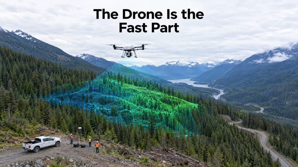
Let’s clear up the biggest misconception first. People assume the drone flying over the site is the project. It isn’t. For most jobs, the actual flying is a few hours to a day or two. A 100-hectare site in reasonable conditions? Often a single field day.
If flying were the whole job, everyone would quote same-week turnarounds. They don’t, and here’s why.
Stage 1: Planning and scoping (before anyone leaves the shop)
Good data starts on a screen, not in the air. Before we mobilize, we’re confirming the boundary, checking airspace and any authorizations needed, studying the terrain and access, and deciding the flight parameters that’ll hit your required accuracy and point density.
This is also where the right questions get asked — what are you actually using the data for? A bare-earth model for drainage design and a powerline clearance survey are two very different flights. Skipping this step is exactly how a lot of LiDAR projects go wrong before the drone even takes off.
For a straightforward site, planning is quick. For a remote, access-restricted, or high-complexity job, it’s where a few days can disappear — and they’re days well spent.
Stage 2: Mobilization and field capture
Getting to the site is sometimes the longest single piece — especially in BC and Alberta, where “the site” can mean a mountain ridge reached by helicopter or a valley two hours down a logging road. For remote work, mobilization can rival the flying time itself.
Once we’re there, capture is efficient. Weather is the wildcard. Wind, fog, and heavy precipitation can hold a crew on the ground, and no reputable operator flies data they can’t stand behind just to make a schedule.
Stage 3: Processing (where the real time lives)
This is the stage clients underestimate the most. Raw LiDAR isn’t a deliverable — it’s millions of unorganized points. Turning that into something useful means:
- Calculating the precise flight trajectory
- Georeferencing the point cloud so it sits correctly in real-world coordinates
- Classifying points — ground, vegetation, structures, powerlines, and so on
- Building the outputs you actually asked for (bare-earth models, contours, DEMs)
- Running quality control against known references
Depending on size and complexity, processing runs from a few days to a couple of weeks. And here’s a detail worth asking any provider about: who does the processing. At Rekon, it’s done in-house by the same people who flew the site. When processing gets outsourced — sometimes overseas — your data sits in someone else’s queue, and a question about your own dataset turns into a game of telephone.
Stage 4: Quality control and delivery
Before anything reaches you, it gets checked. Overlapping areas compared, measurements verified against control, consistency confirmed. Then it’s packaged in the formats your software actually needs. (More on that in our guide to LiDAR deliverables — because a fast project that arrives in a format you can’t open isn’t fast at all.)
So — a realistic drone LiDAR survey timeline
For a typical, accessible project of moderate size, think one to three weeks from go-ahead to final deliverable. Small and simple can be faster. Large, remote, or high-complexity work takes longer, and should.
If someone promises you engineering-grade LiDAR over a big, rugged site by tomorrow, that’s not a green flag — it’s a warning.
The bottom line: the drone is quick. The value is everything wrapped around it. If you’ve got a deadline, the best move is simple — talk to us early, tell us the date you’re working back from, and we’ll tell you honestly what’s realistic.