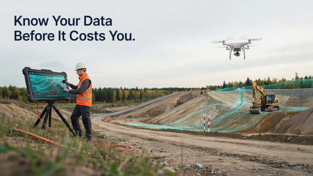
The scary thing about LiDAR data delivered wrong is that it does not look wrong. It arrives on time, opens cleanly, and shows a beautiful point cloud that nobody questions.
So your team builds on it.
Where designs get drawn, volumes get billed, and permits get filed, all resting on a foundation that quietly sits half a metre off.
By the time anyone notices, the error is buried under months of work. That is why bad data is so expensive, and why it is worth understanding before it happens to you.
How does bad LiDAR data slip through unnoticed?
This is the part that catches people out. LiDAR data errors rarely announce themselves.
A point cloud with a systematic vertical shift looks identical to a perfect one on screen. Everything is internally consistent, so the surface appears smooth, detailed, and completely believable.
The same goes for misclassified points. If vegetation is wrongly labelled as ground, your bare earth model simply includes a few bumps that look like natural terrain.
Without checks, nothing flags a problem. That is exactly how LiDAR data delivered wrong makes it into design packages, and why LiDAR quality control exists in the first place.
What are the most common LiDAR data errors?
Most problems trace back to a handful of causes, and the same LiDAR data mistakes repeat across projects. Poor or missing ground control is the classic one, since without measured control points the whole dataset can float away from real coordinates.
Coordinate system mistakes are just as common. Mix up a datum, a projection, or a geoid model, and your data lands in the wrong place, sometimes by metres.
Classification failures cause plenty of grief too. When LiDAR data processing mistakes leave vegetation or structures in the ground class, every contour and volume built from that surface inherits the error.
Then there are the mechanical issues. Poor flight overlap leaves gaps, boresight calibration problems create doubled surfaces, and noise from water or dust adds LiDAR point cloud errors that skew your terrain. Any one of these can produce LiDAR data delivered wrong without a single obvious warning sign.
What does inaccurate LiDAR data actually cost?
Here is where it stops being technical and starts being financial. So what happens when LiDAR data is inaccurate? Every downstream decision inherits the mistake.
Earthworks are the fastest way to feel it. A vertical error of just 20 centimetres across a large site can shift cut and fill volumes dramatically, which means you either move material you did not need to or run short halfway through.
Design clashes follow. Drainage that will not flow, a road that does not tie in, and structures that do not sit where they should all trace back to the same faulty surface.
The wider cost is well documented. A Construction Industry Institute study found rework on industrial projects averages more than 12 percent of total cost, with design changes, errors, and omissions driving most of it, according to CII. Bad LiDAR data quality feeds directly into that cycle.
Worst of all is the trust cost. Once LiDAR data delivered wrong makes it into a project, teams start double checking everything, and the speed advantage you paid for disappears.
How do you validate LiDAR data before you use it?
The good news is that validation is not complicated. It just has to actually happen.
Start with independent checkpoints. These are ground points measured separately from the ones used to build the model, and comparing them to the data shows the true error.
On how to validate LiDAR data, the USGS and ASPRS standards require that your checkpoint survey be three times more accurate than the LiDAR itself.
Next, check the numbers against recognised LiDAR accuracy standards. The USGS sets QL2 as its minimum, meaning at least 2 points per square metre and 10 centimetres vertical accuracy, so you have a clear benchmark for LiDAR data accuracy to measure against.
Then review the practical stuff. Confirm the coordinate system and datum, look for gaps or voids, inspect the classification in a few sample areas, and compare overlapping flight lines for shifts. These few steps catch most cases of LiDAR data delivered wrong before they reach your design team.
Finally, demand a validation report in writing. We break down what a complete delivery should include in our guide on how accurate drone LiDAR is for engineering and construction projects.
How do you avoid getting bad data in the first place?
Prevention beats detection every time. Avoiding LiDAR data delivered wrong starts with how you scope the job.
Specify your accuracy requirement, your coordinate system, and your deliverables before anyone flies. Vague scopes are where incorrect LiDAR delivery usually begins.
Ask how the provider handles ground control and what their QA process looks like. Terrain matters too, since dense canopy and steep ground demand more care, as we explain in our post on how LiDAR performs in dense forest and mountain terrain.
Above all, work with people who treat verification as part of the job. Rekon Solutions plans every survey around documented checks, so you are never guessing whether the data holds up.
Frequently asked questions
1. How do you know if LiDAR data is wrong?
Compare it against independent checkpoints measured on the ground. Visual inspection alone will not reveal a systematic shift, since bad data usually looks perfectly normal.
2. What causes LiDAR point cloud errors?
Common causes include missing ground control, wrong coordinate systems, calibration problems, poor overlap, and classification mistakes during processing.
3. Can bad LiDAR data be fixed after delivery?
Sometimes. Reprocessing can correct classification and some alignment issues, but if ground control was never captured, a reflight is often the only real solution.
4. What accuracy should you expect from drone LiDAR?
Well executed surveys commonly achieve 2 to 5 centimetre vertical accuracy, which comfortably exceeds the QL2 benchmark used for national elevation data.
Why LiDAR Data verification is crucial
Nobody sets out to build on faulty ground. Yet LiDAR data delivered wrong slips through constantly, precisely because it looks so convincing on screen.
The fix is refreshingly simple. Ask for checkpoints, insist on a validation report, and treat accuracy as something proven rather than promised.
If your next project depends on data you can defend, let us show you what documented quality control looks like. Tell us what you need to deliver, and we will make sure the numbers hold up long before anyone builds on them.